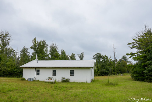
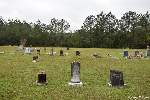
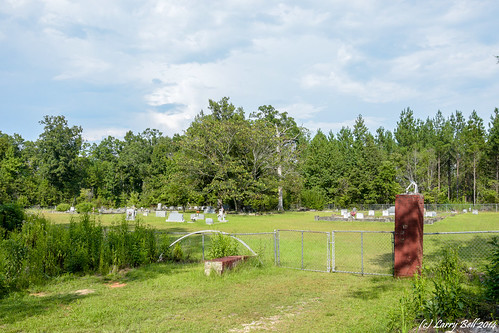
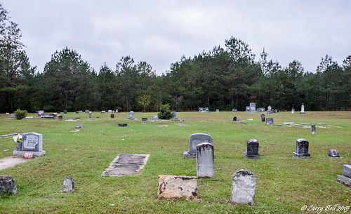
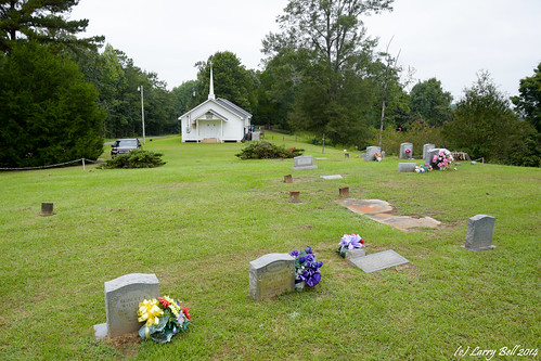
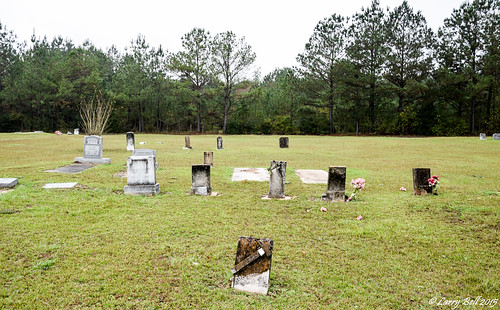
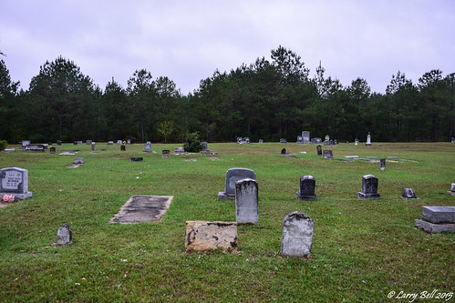
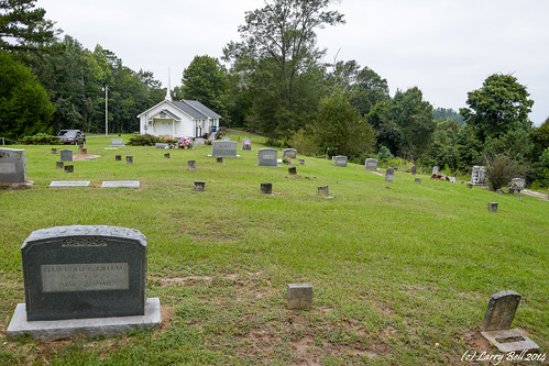
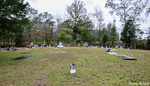
Elevation of Tuscahana Rd, Butler, AL, USA
Location: United States > Alabama > Choctaw County >
Longitude: -88.163406
Latitude: 32.0943454
Elevation: 53m / 174feet
Barometric Pressure: 101KPa
Related Photos:
Topographic Map of Tuscahana Rd, Butler, AL, USA
Find elevation by address:

Places near Tuscahana Rd, Butler, AL, USA:
Butler
S Hamburg Ave, Butler, AL, USA
Ararat Rd, Toxey, AL, USA
Choctaw County
AL-, Butler, AL, USA
1656 Bailey Rd
90 Fire Tower Rd, Toxey, AL, USA
Co Rd 23, Toxey, AL, USA
AL-, Pennington, AL, USA
Jachin
47 Co Rd 32, Jachin, AL, USA
Lisman
Putnam
AL-69, Thomasville, AL, USA
Co Rd 23, Toxey, AL, USA
23020 Al-17
Pennington
Land Rd, Butler, AL, USA
Old Lusk Rd, Gilbertown, AL, USA
Old Lock Rd, Pennington, AL, USA
Recent Searches:
- Elevation of Corso Fratelli Cairoli, 35, Macerata MC, Italy
- Elevation of Tallevast Rd, Sarasota, FL, USA
- Elevation of 4th St E, Sonoma, CA, USA
- Elevation of Black Hollow Rd, Pennsdale, PA, USA
- Elevation of Oakland Ave, Williamsport, PA, USA
- Elevation of Pedrógão Grande, Portugal
- Elevation of Klee Dr, Martinsburg, WV, USA
- Elevation of Via Roma, Pieranica CR, Italy
- Elevation of Tavkvetili Mountain, Georgia
- Elevation of Hartfords Bluff Cir, Mt Pleasant, SC, USA

