Elevation of Co Rd 23, Toxey, AL, USA
Location: United States > Alabama > Choctaw County > Toxey >
Longitude: -88.138188
Latitude: 31.9450951
Elevation: 108m / 354feet
Barometric Pressure: 100KPa
Elevation Map:
Satellite Map:
Related Photos:
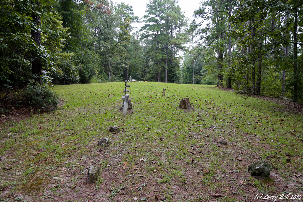
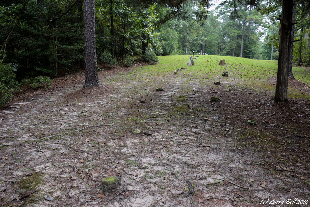
DSC_0033.jpg

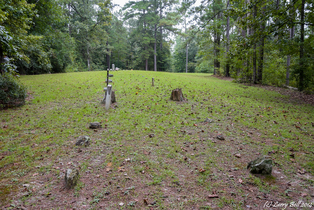
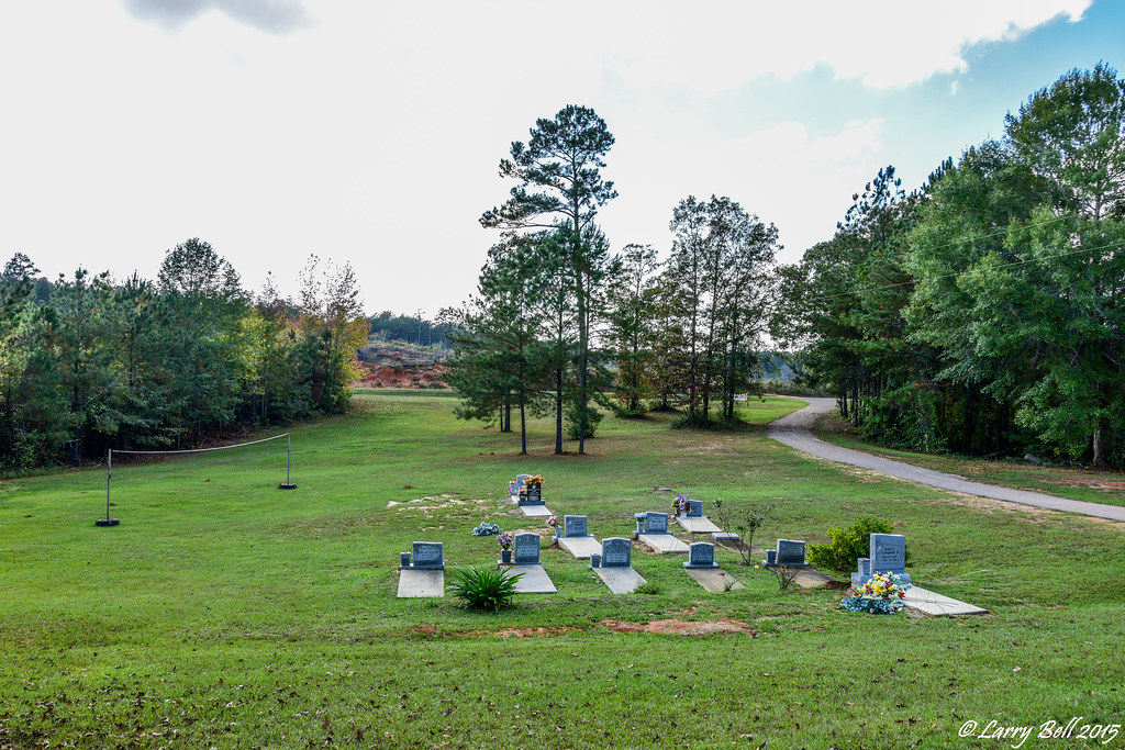
DSC_8354.jpg
Coffeeville AL

Coffeeville AL July 08
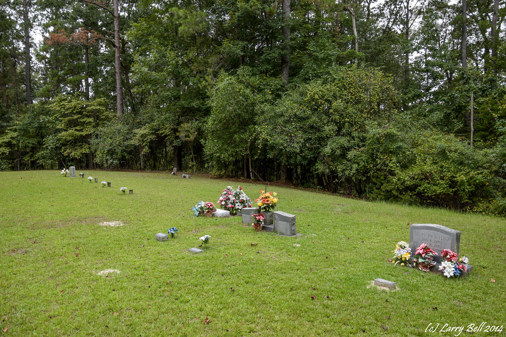
DSC_0021.jpg

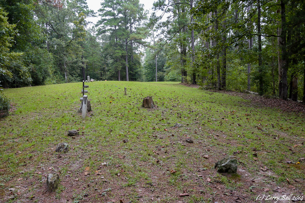
DSC_8372.jpg

DSC_8365.jpg
DSC_0171.jpg
DSC_0182.jpg

DSC_0179.jpg
DSC_0180.jpg
DSC_0202.jpg
DSC_0181.jpg
DSC_0194.jpg
DSC_0185.jpg
DSC_0209.jpg
DSC_0183.jpg
DSC_0178.jpg
DSC_0655.jpg

DSC_0118.jpg

DSC_0091.jpg
Topographic Map of Co Rd 23, Toxey, AL, USA
Find elevation by address:

Places near Co Rd 23, Toxey, AL, USA:
Co Rd 23, Toxey, AL, USA
97 Co Rd 25, Gilbertown, AL, USA
Barrytown Rd, Gilbertown, AL, USA
Co Rd 31, Coffeeville, AL, USA
Ararat Rd, Toxey, AL, USA
AL-69, Thomasville, AL, USA
Putnam
Old Lusk Rd, Gilbertown, AL, USA
Tuscahana Rd, Butler, AL, USA
Barrytown Rd, Gilbertown, AL, USA
90 Fire Tower Rd, Toxey, AL, USA
23020 Al-17
Tallahatta Springs Rd, Thomasville, AL, USA
Choctaw County
Butler
S Hamburg Ave, Butler, AL, USA
Toxey
Co Rd 21, Silas, AL, USA
AL-, Coffeeville, AL, USA
Coffeeville
Recent Searches:
- Elevation of Corso Fratelli Cairoli, 35, Macerata MC, Italy
- Elevation of Tallevast Rd, Sarasota, FL, USA
- Elevation of 4th St E, Sonoma, CA, USA
- Elevation of Black Hollow Rd, Pennsdale, PA, USA
- Elevation of Oakland Ave, Williamsport, PA, USA
- Elevation of Pedrógão Grande, Portugal
- Elevation of Klee Dr, Martinsburg, WV, USA
- Elevation of Via Roma, Pieranica CR, Italy
- Elevation of Tavkvetili Mountain, Georgia
- Elevation of Hartfords Bluff Cir, Mt Pleasant, SC, USA