Elevation of AL-69, Thomasville, AL, USA

Location: United States > Alabama > Marengo County >

Longitude: -88.031186

Latitude: 32.0222986

Elevation: 65m / 213feet

Barometric Pressure: 101KPa

Elevation Map:

elevation map of AL-69, Thomasville, AL, USA

Satellite Map:

Satellite map of AL-69, Thomasville, AL, USA

Related Photos:

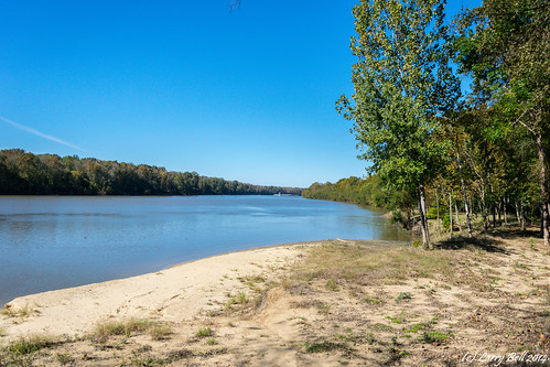
unitedstates alabama clarkecounty larrybell toxey campbellslanding larebel larebell
DSC_0033.jpg
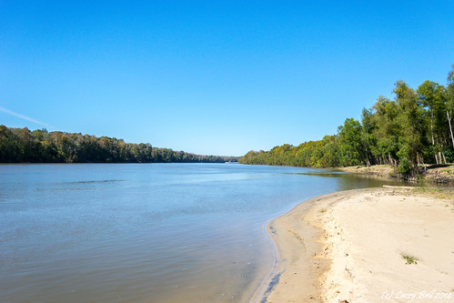
unitedstates alabama clarkecounty larrybell toxey campbellslanding larebel larebell
DSC_0042.jpg
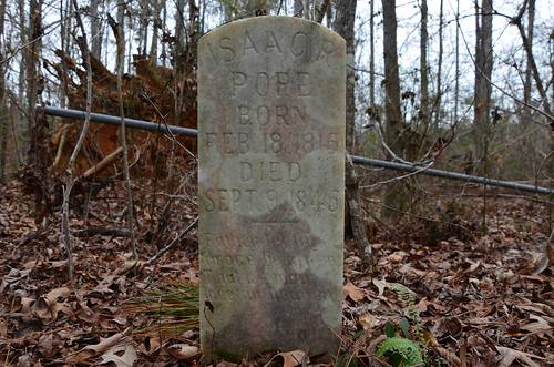
cemetery unitedstates alabama sweetwater larrybell marengocounty larebel larebell pruittcemetery
DSC_7126.jpg
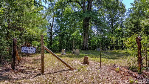
alabama campbell clarkecounty larrybell failetown larebel larebell southernphotosoutlookcom failecemetery
20160710_120340-Edit-Edit.jpg
alabama campbell clarkecounty larrybell failetown larebel larebell southernphotosoutlookcom failecemetery
20160710_120159-Edit.jpg
butler alabama unitedstates us saintjohncmechurchandcemetery mountsterling choctaw countyalabamalarry bell larebell larebel cemetery church choctawcounty larrybell southernphotosoutlookcom
DSC_0412.jpg
cemetery us unitedstates alabama butler lavaca larrybell choctawcounty larebel larebell redhousememorialgaardens
DSC_0362.jpg
cemetery us unitedstates alabama sweetwater larrybell marengocounty oldlibertycemetery nicholsville larebel larebell
DSC_0402.jpg
us unitedstates alabama thomasville clarkecounty larrybell morvin walnutgrovecemetery larebel larebell southernphotosoutlookcom
DSC_0655.jpg
us unitedstates alabama thomasville bashi clarkecounty larrybell larebel larebell givenlandcmechurchcemetery southernphotosoutlookcom
DSC_0375.jpg
us unitedstates alabama thomasville bashi clarkecounty larrybell larebel larebell givenlandcmechurchcemetery southernphotosoutlookcom
DSC_0328.jpg
us unitedstates alabama thomasville bashi clarkecounty larrybell larebel larebell givenlandcmechurchcemetery southernphotosoutlookcom
DSC_0327.jpg
unitedstates alabama thomasville clarkecounty larrybell morvin larebel larebell kimbroughcemetery
DSC_0021.jpg
unitedstates alabama clarkecounty larrybell toxey campbellslanding larebel larebell
DSC_0041.jpg
unitedstates alabama clarkecounty larrybell toxey campbellslanding larebel larebell
DSC_0038.jpg
sunset alabama july4th blackbelt marengocounty choctawcounty nanafalia
Nanafalia, AL - July 4th, 2014 sunset from the Tombigbee River bridge
house us unitedstates alabama sweetwater outbuilding larrybell marengocounty larebel saintpaulcemetery larebell
DSC_0232.jpg
butler alabama unitedstates us saintjohncmechurchandcemetery mountsterling choctaw countyalabamalarry bell larebell larebel cemetery church choctawcounty larrybell southernphotosoutlookcom
DSC_0426.jpg
butler alabama unitedstates us saintjohncmechurchandcemetery mountsterling choctaw countyalabamalarry bell larebell larebel cemetery church choctawcounty larrybell southernphotosoutlookcom
DSC_0423.jpg
butler alabama unitedstates us saintjohncmechurchandcemetery mountsterling choctaw countyalabamalarry bell larebell larebel cemetery church choctawcounty larrybell southernphotosoutlookcom
DSC_0413.jpg
unitedstates alabama ararat larrybell choctawcounty toxey corinthcemetery larebel larebell
DSC_0268.jpg