Elevation map of Turuni, South Sudan
Location: South Sudan > Central Equatoria > Juba >
Longitude: 31.6566667
Latitude: 4.1836111
Elevation: 666m / 2185feet
Barometric Pressure: 94KPa
Elevation Map:
Satellite Map:
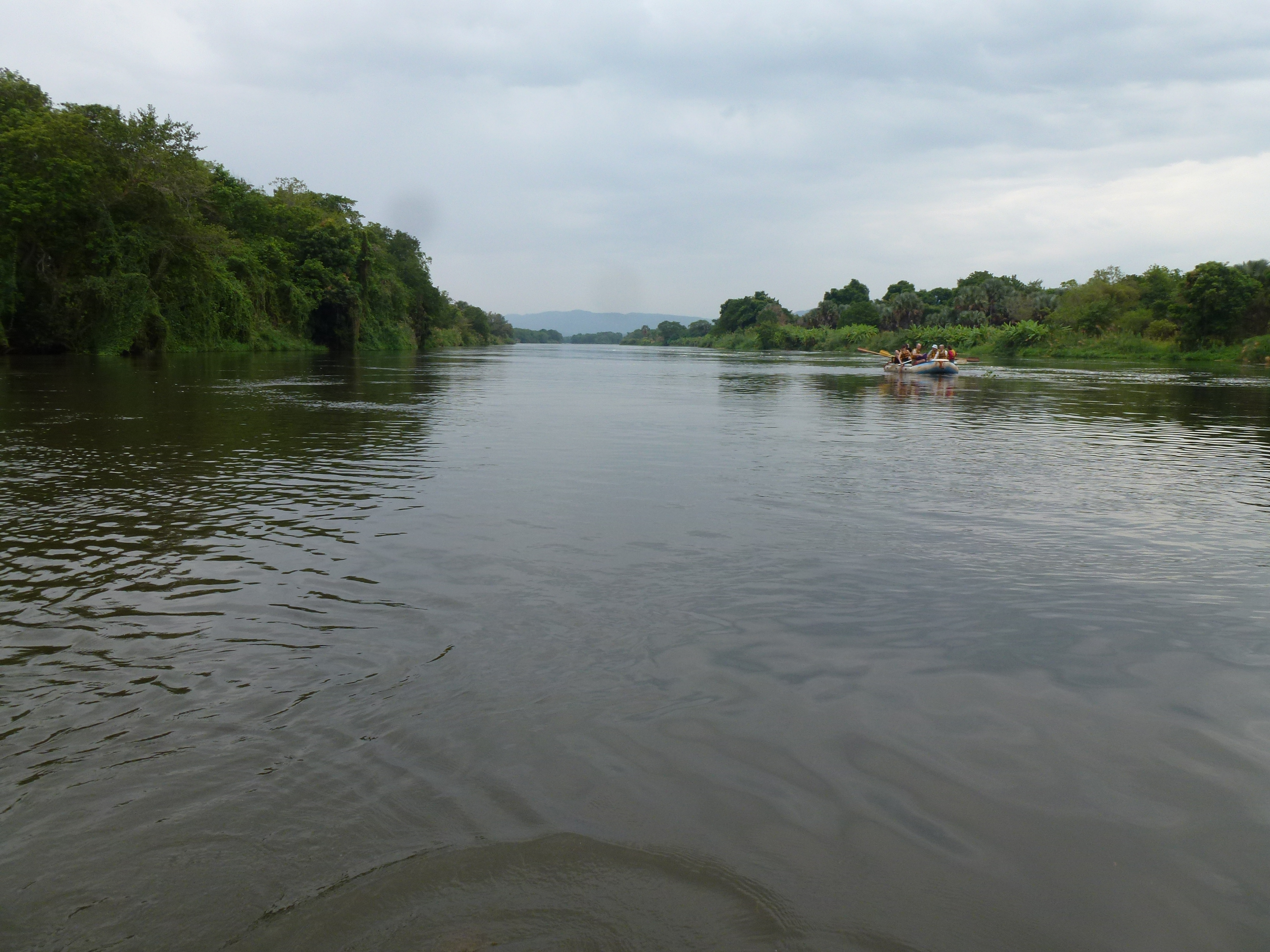
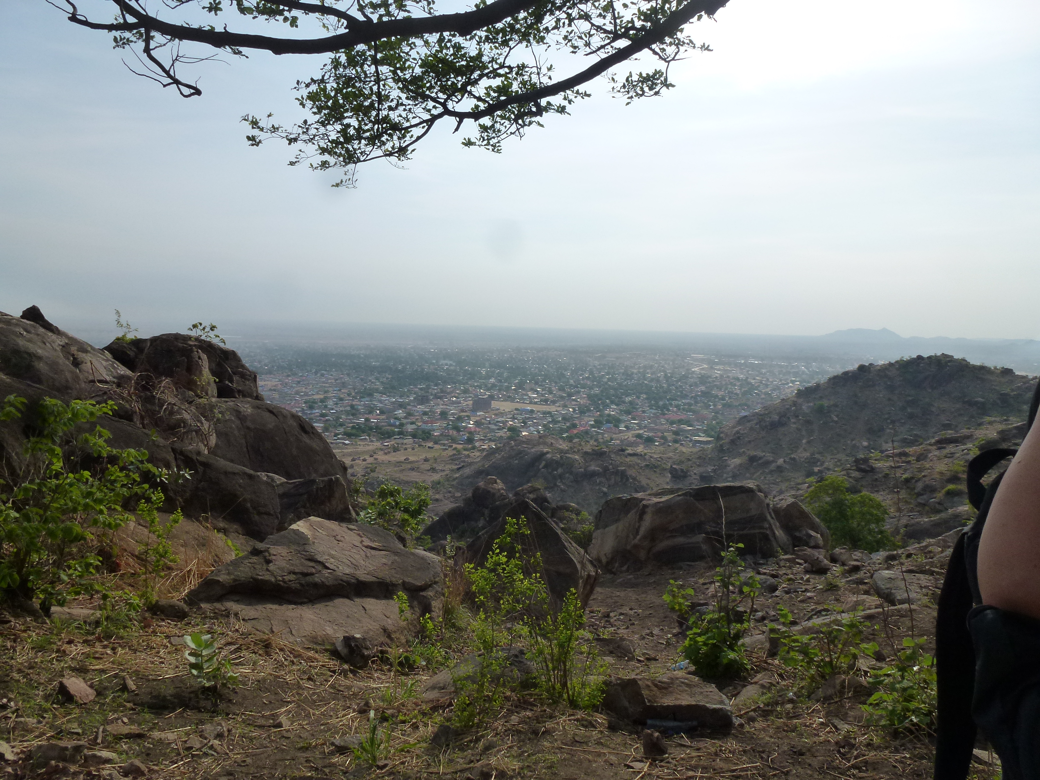
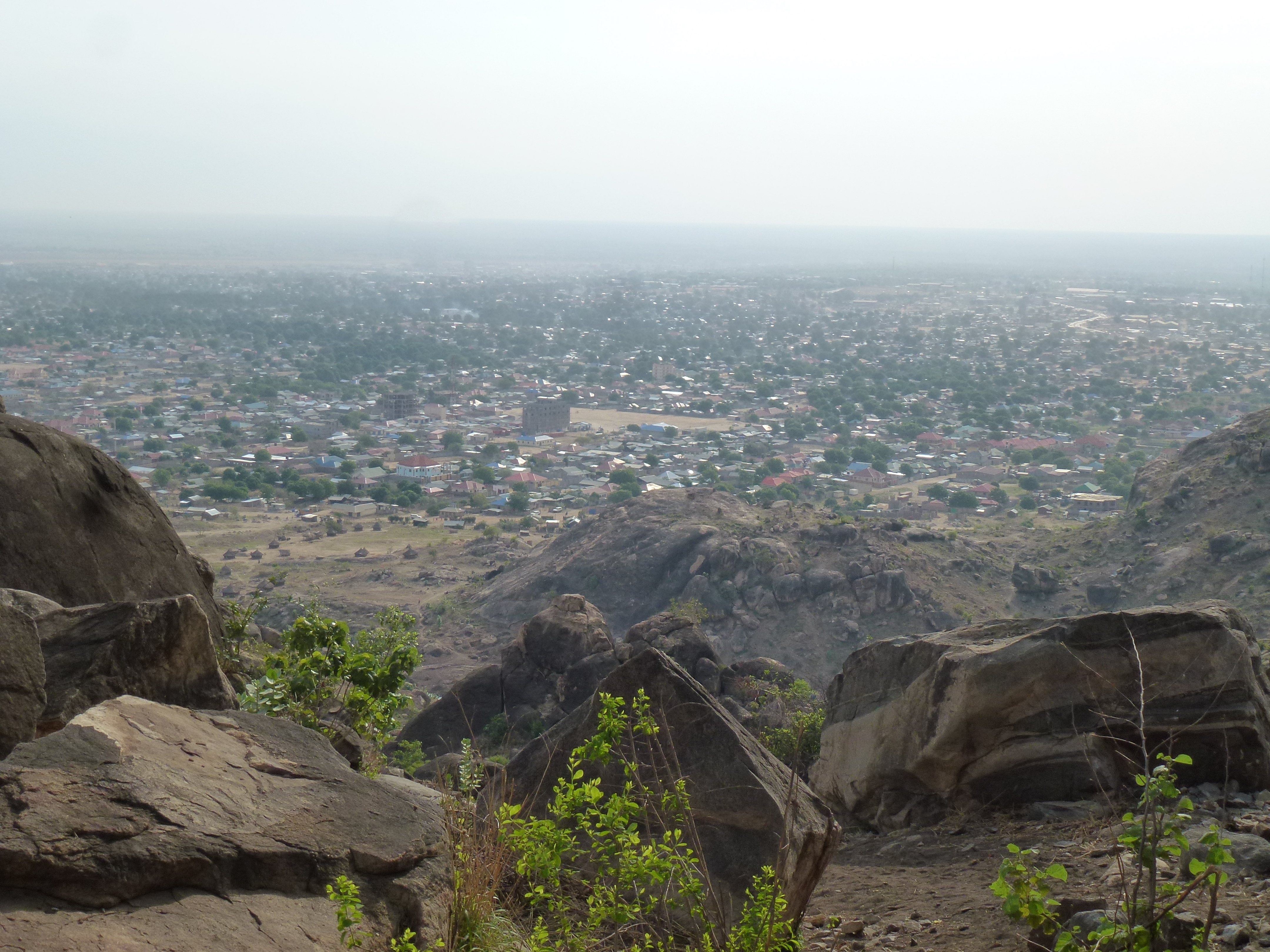
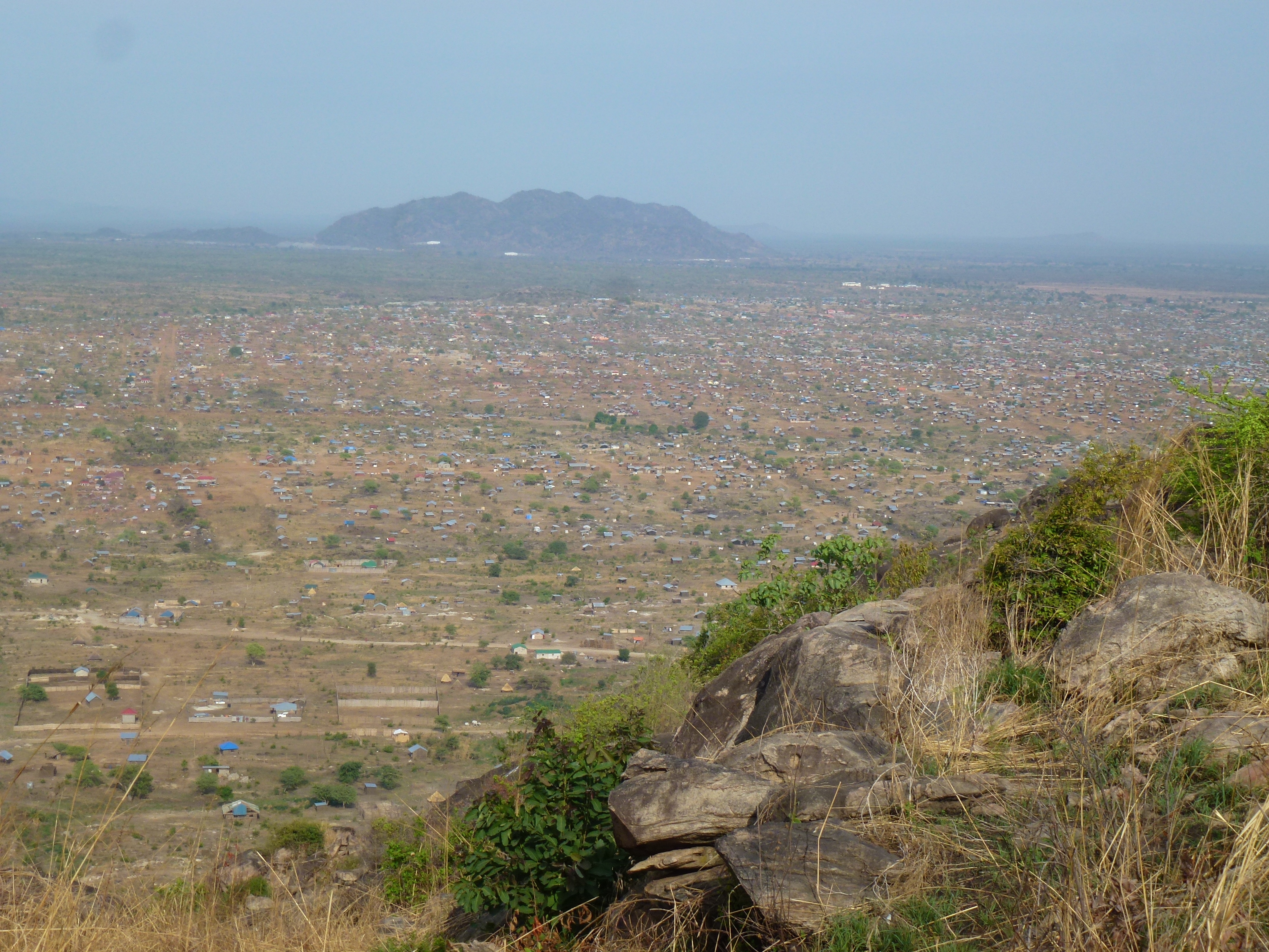
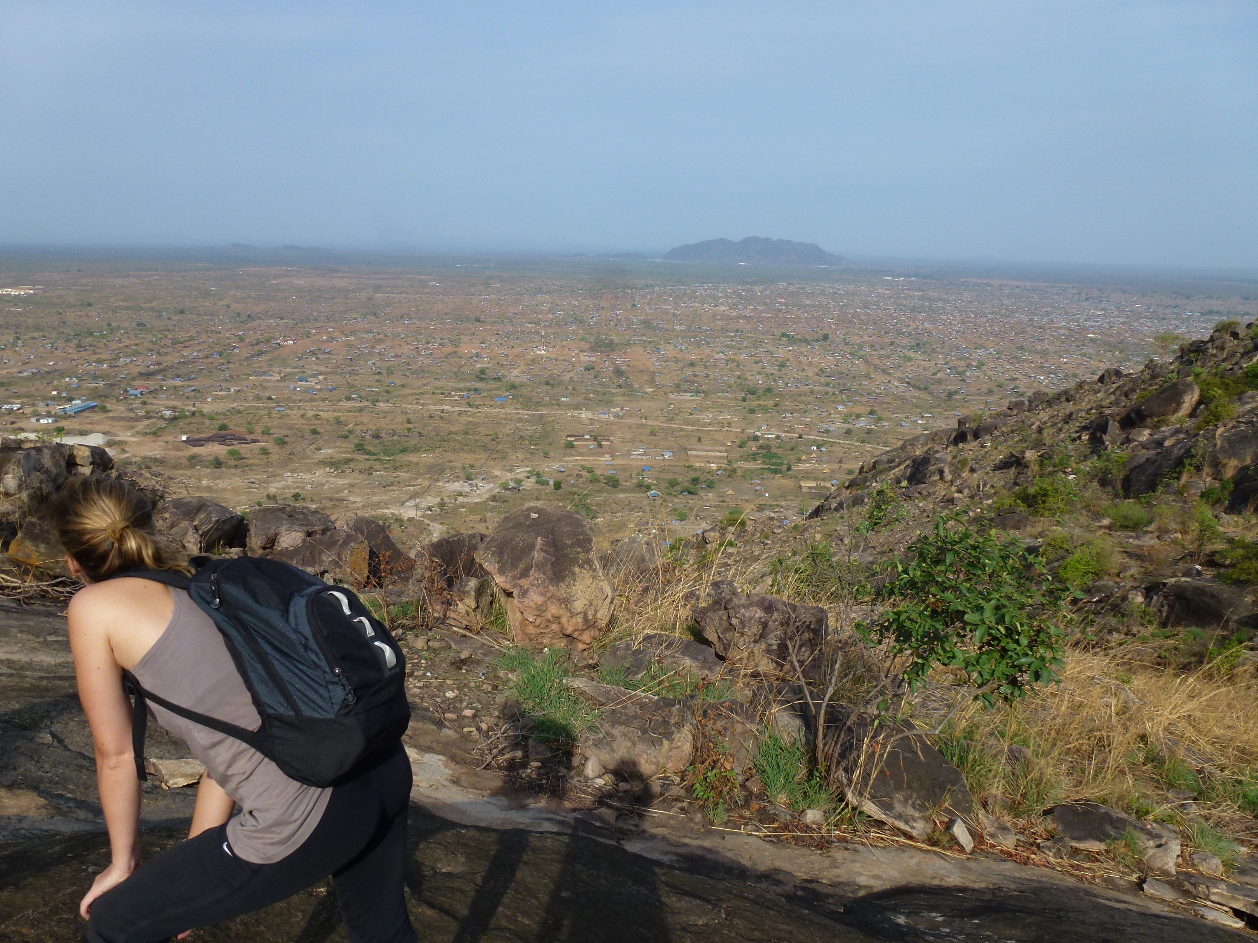
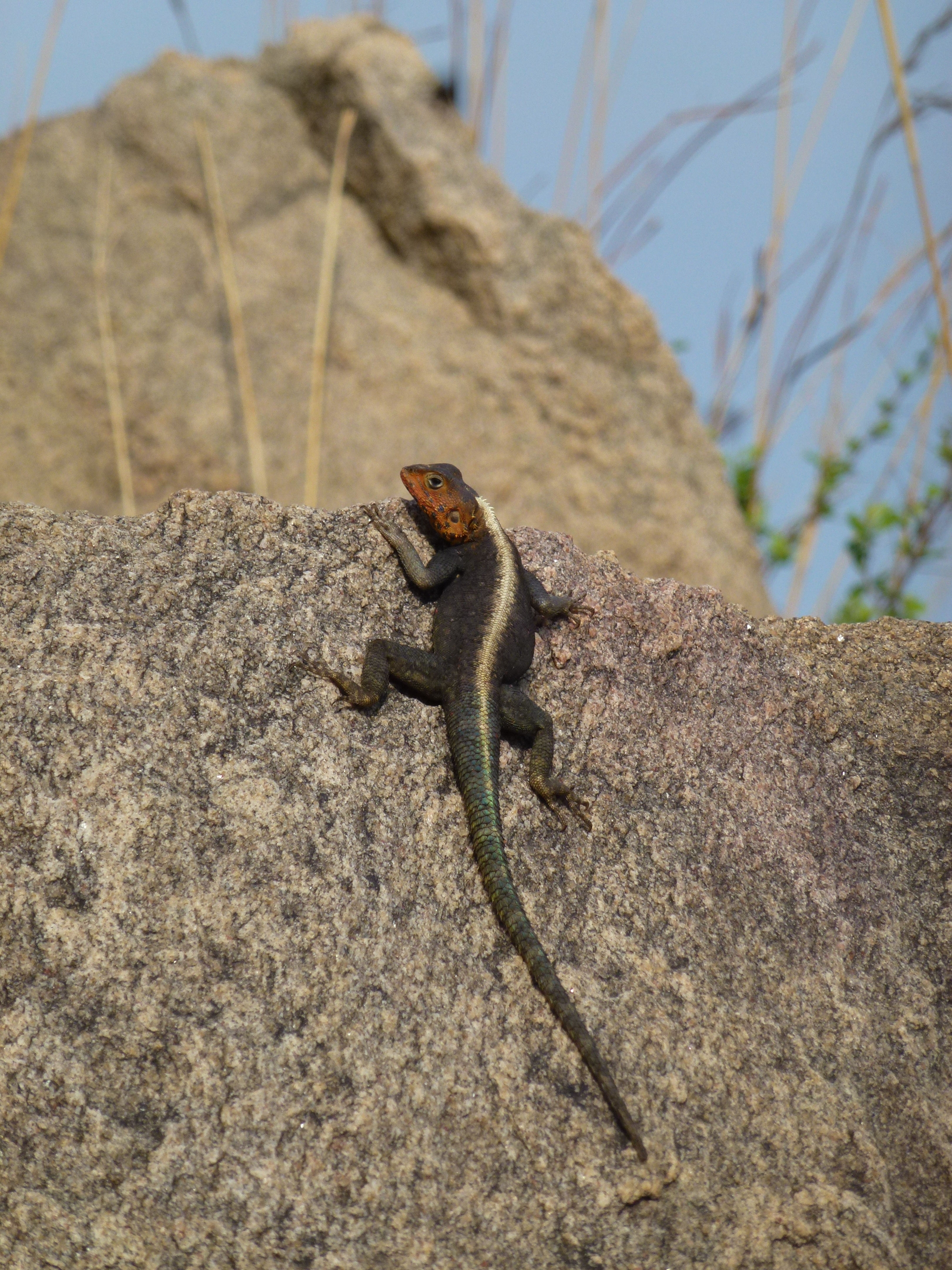
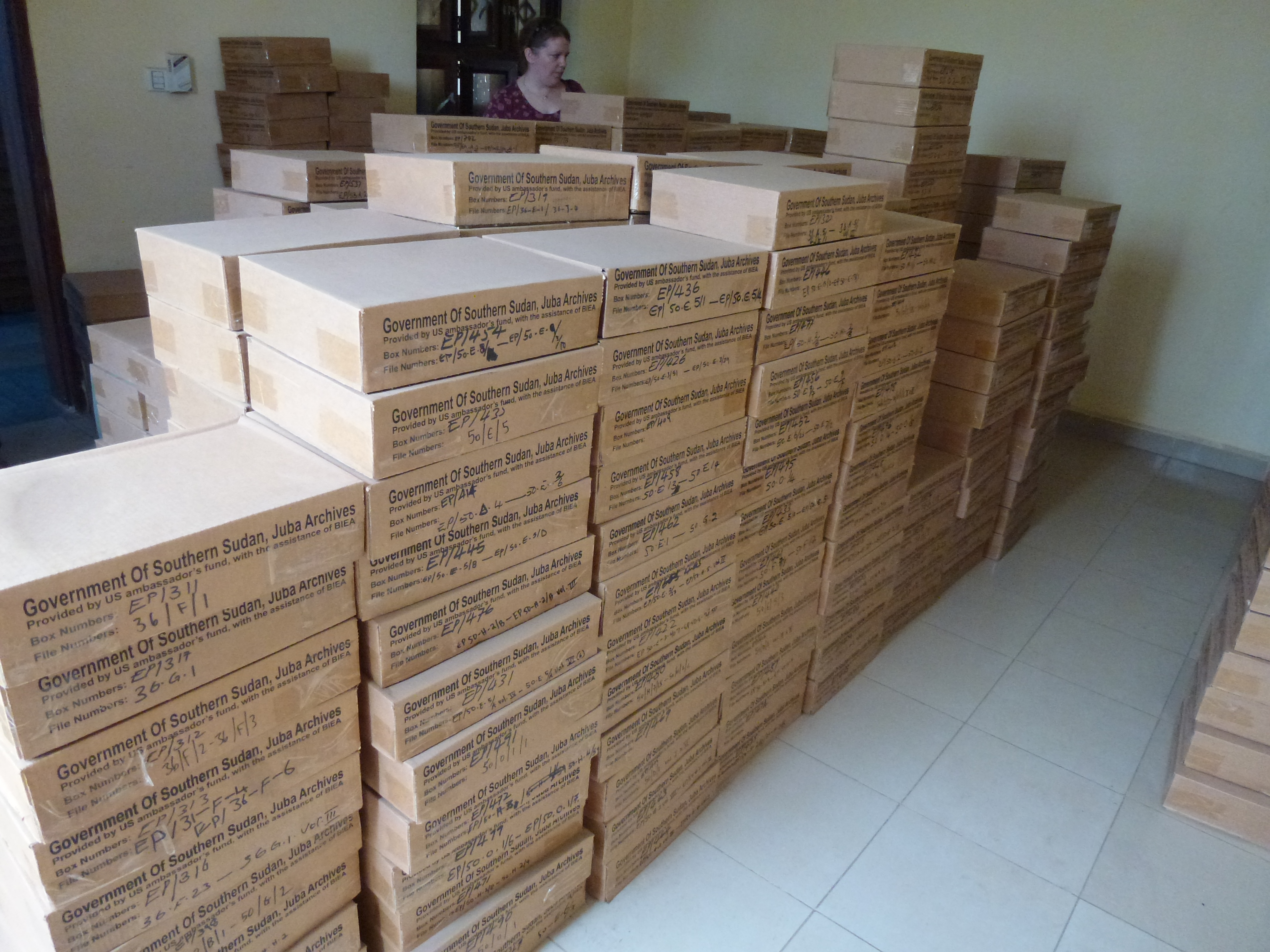
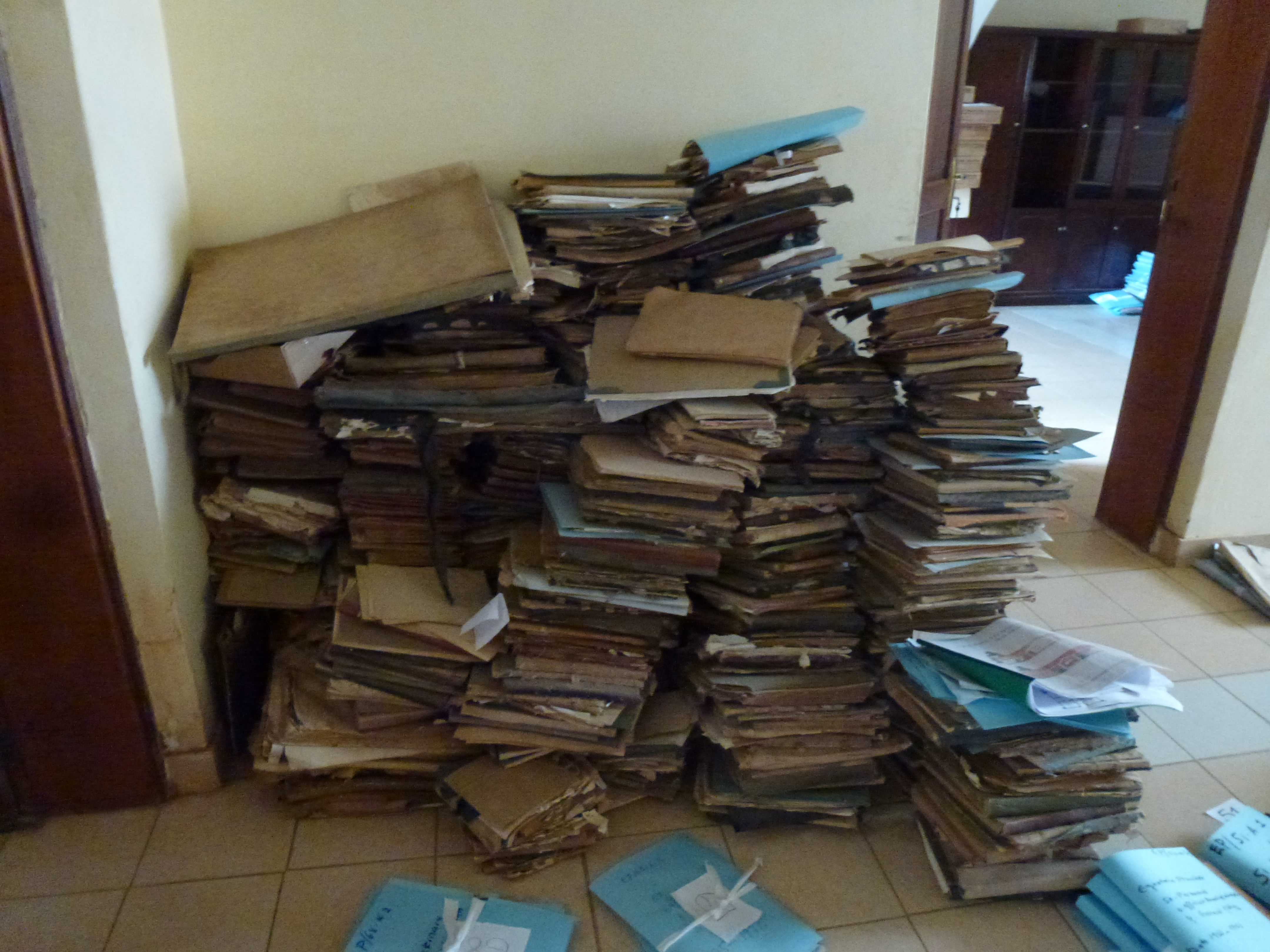
Related Photos:
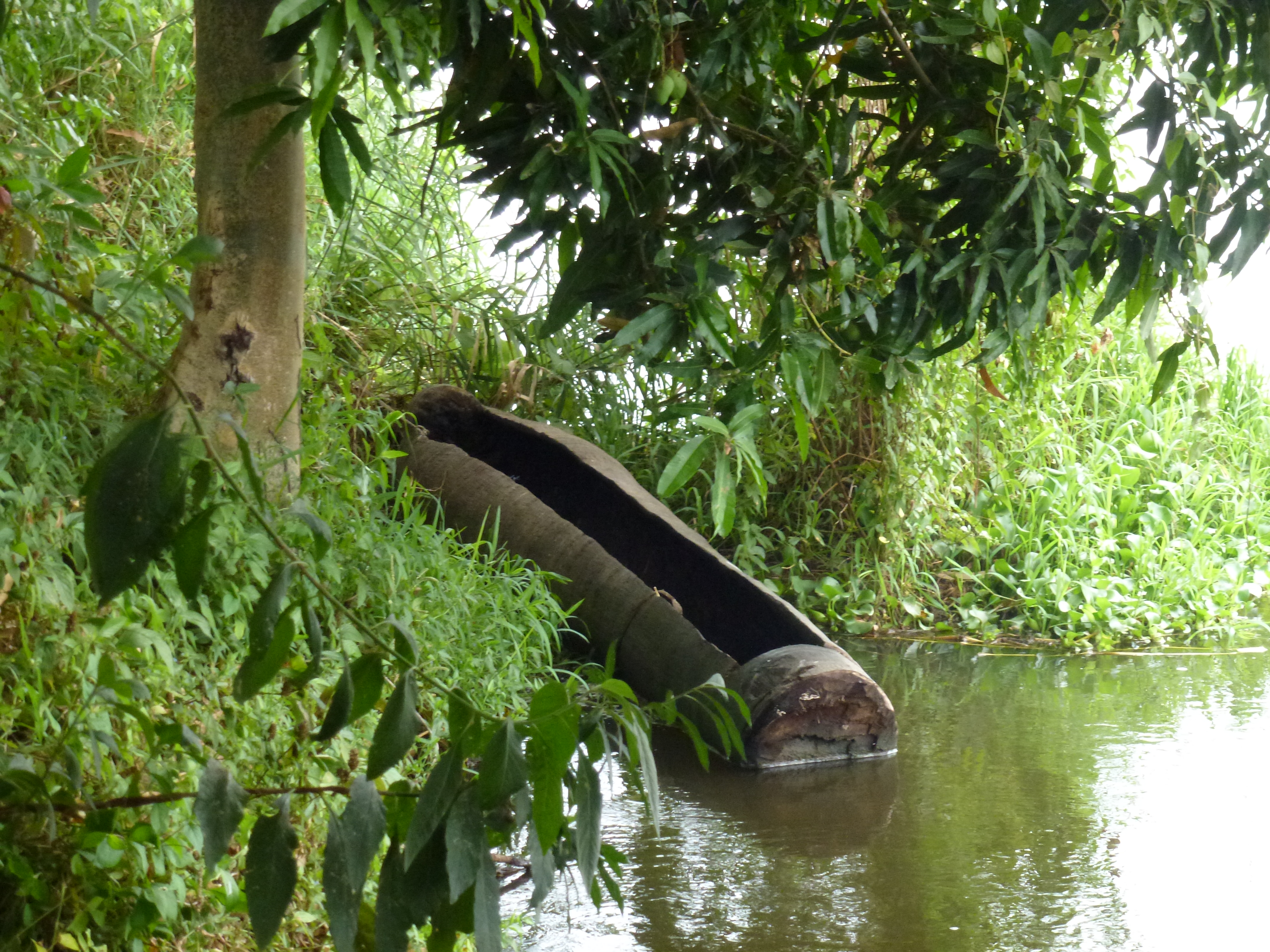
P1030711
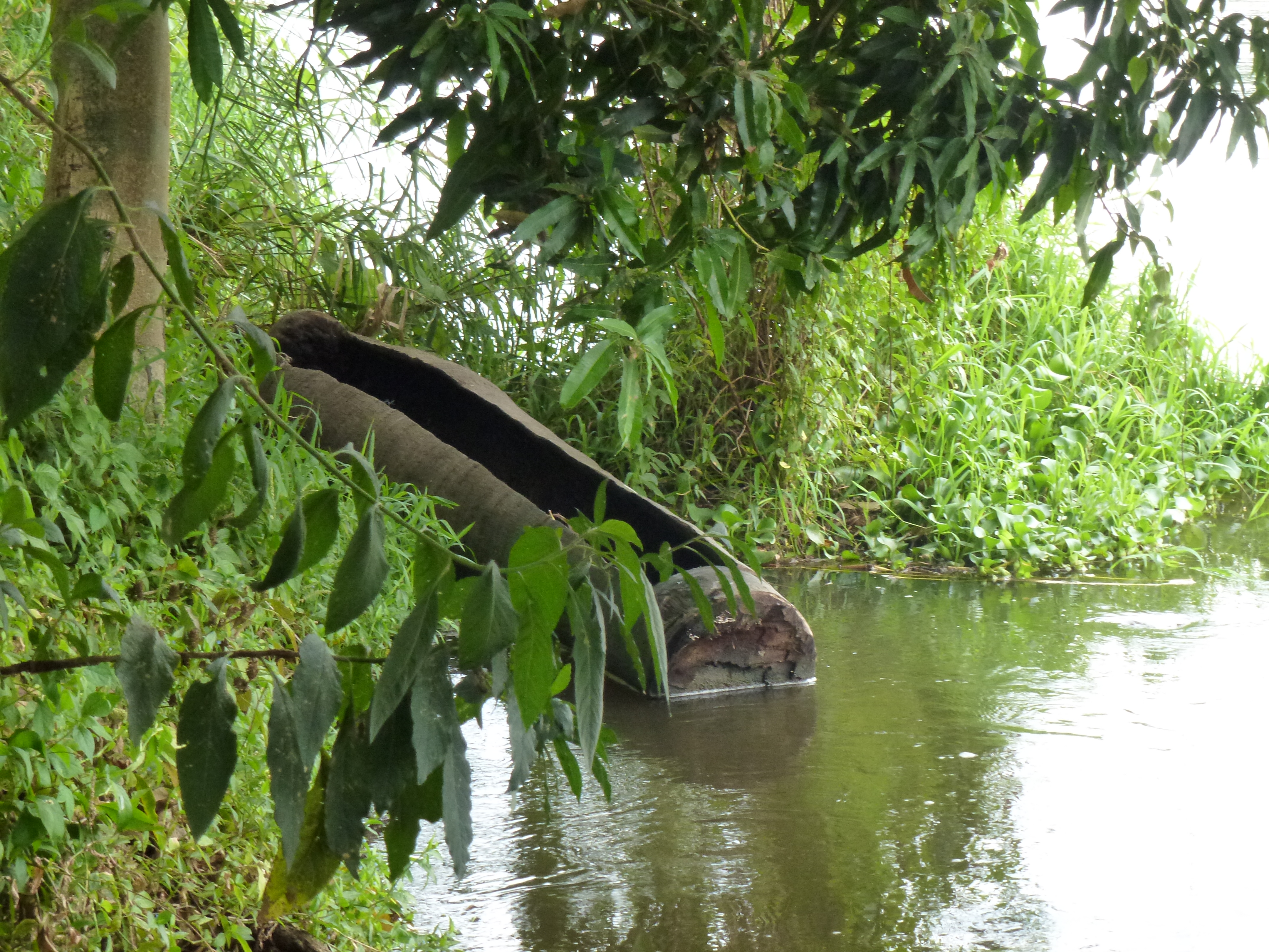
P1030732
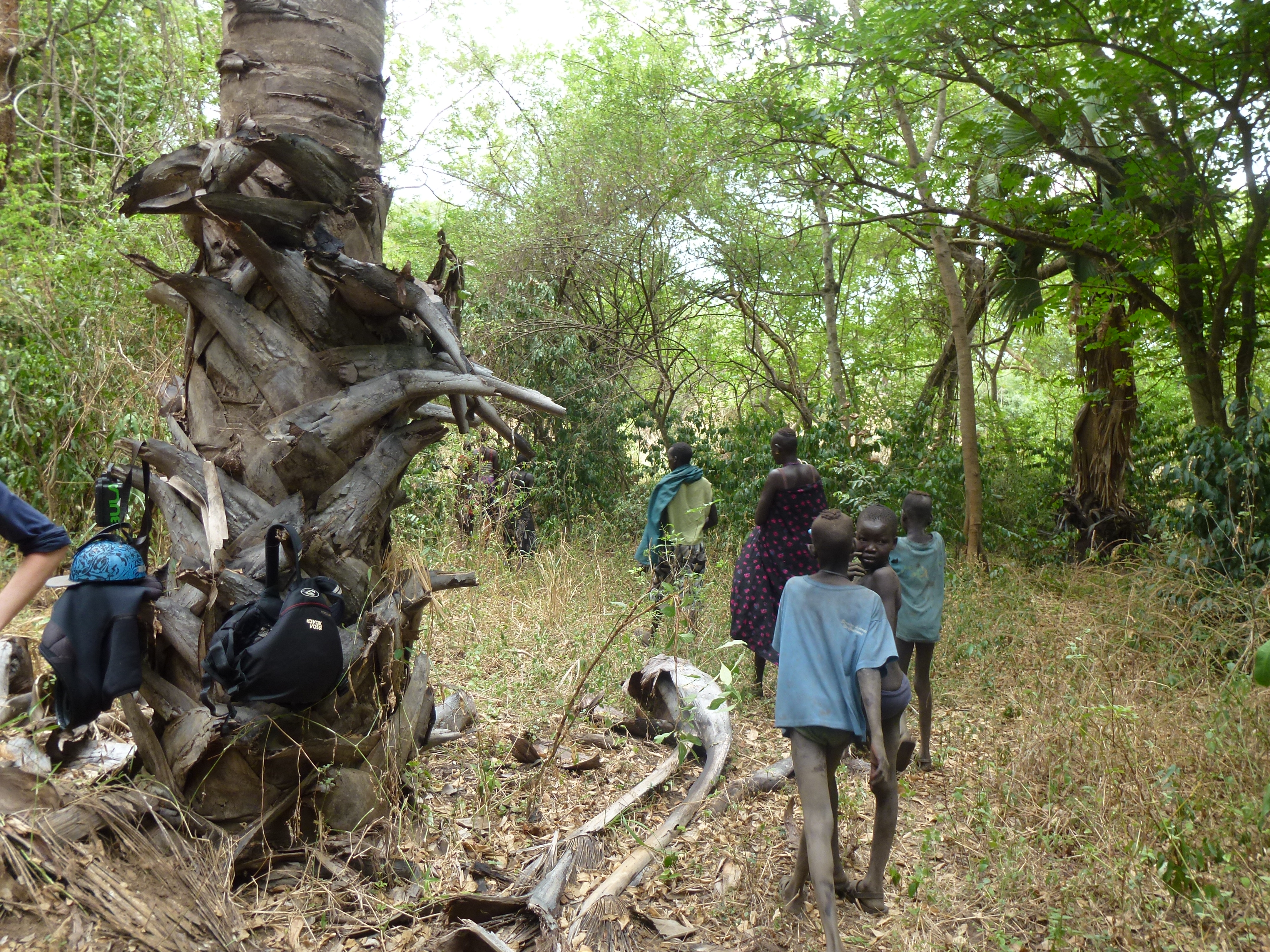
P1030733
P1030735
P1030737
P1030734
P1030731

P1030730
P1030729
P1030728
P1030727
P1030710
P1030707
P1030706
P1030705
P1030703

P1030702

P1030701

P1030700

P1030698

P1030695
Topographic Map of Turuni, South Sudan
Find elevation by address:

Places near Turuni, South Sudan:
Recent Searches:
- Elevation of Corso Fratelli Cairoli, 35, Macerata MC, Italy
- Elevation of Tallevast Rd, Sarasota, FL, USA
- Elevation of 4th St E, Sonoma, CA, USA
- Elevation of Black Hollow Rd, Pennsdale, PA, USA
- Elevation of Oakland Ave, Williamsport, PA, USA
- Elevation of Pedrógão Grande, Portugal
- Elevation of Klee Dr, Martinsburg, WV, USA
- Elevation of Via Roma, Pieranica CR, Italy
- Elevation of Tavkvetili Mountain, Georgia
- Elevation of Hartfords Bluff Cir, Mt Pleasant, SC, USA