Elevation map of Juba, South Sudan
Location: South Sudan > Central Equatoria >
Longitude: 31.4456179
Latitude: 4.7489633
Elevation: 561m / 1841feet
Barometric Pressure: 95KPa
Elevation Map:
Satellite Map:
Related Photos:
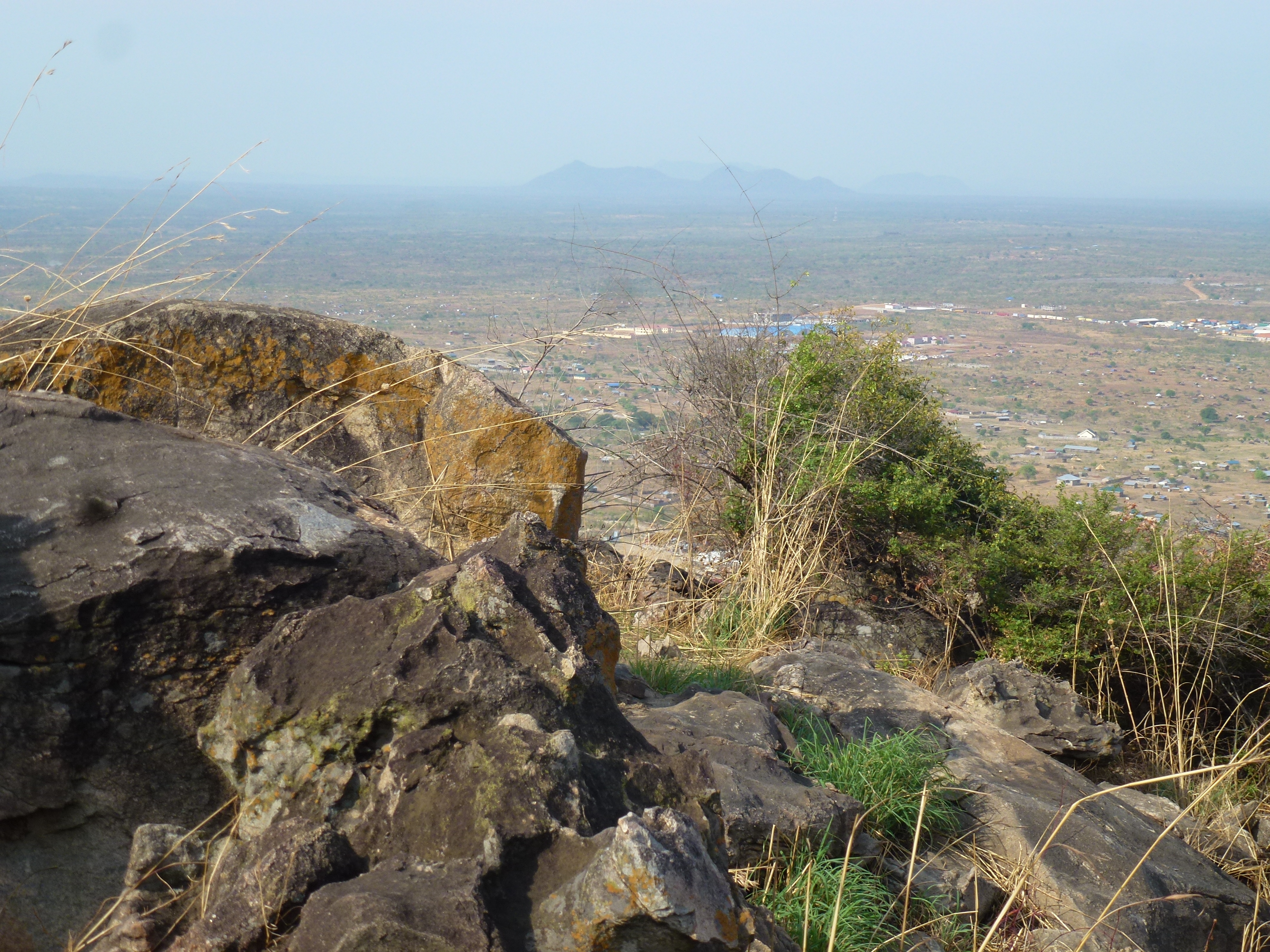
P1030740
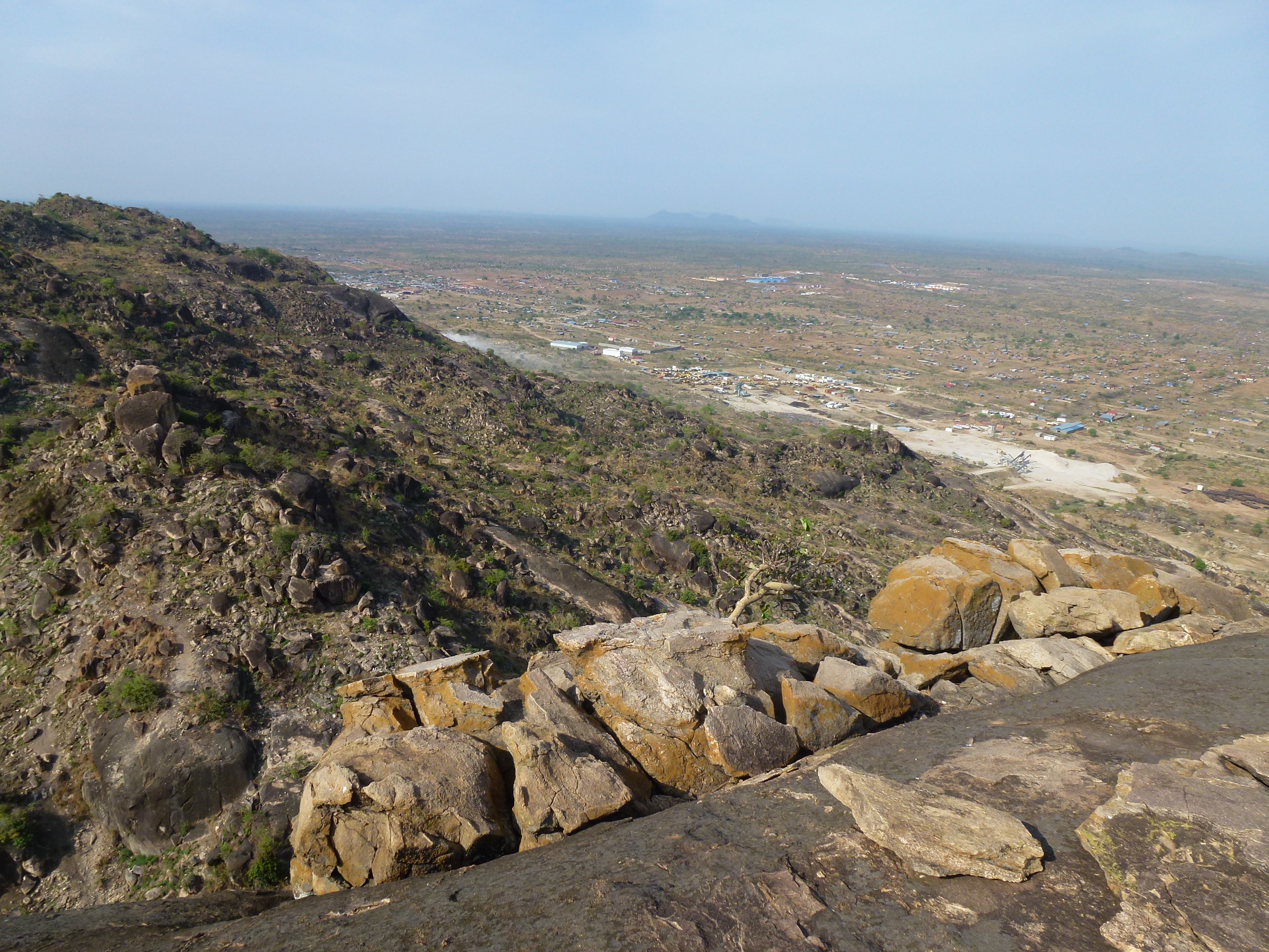
P1030742
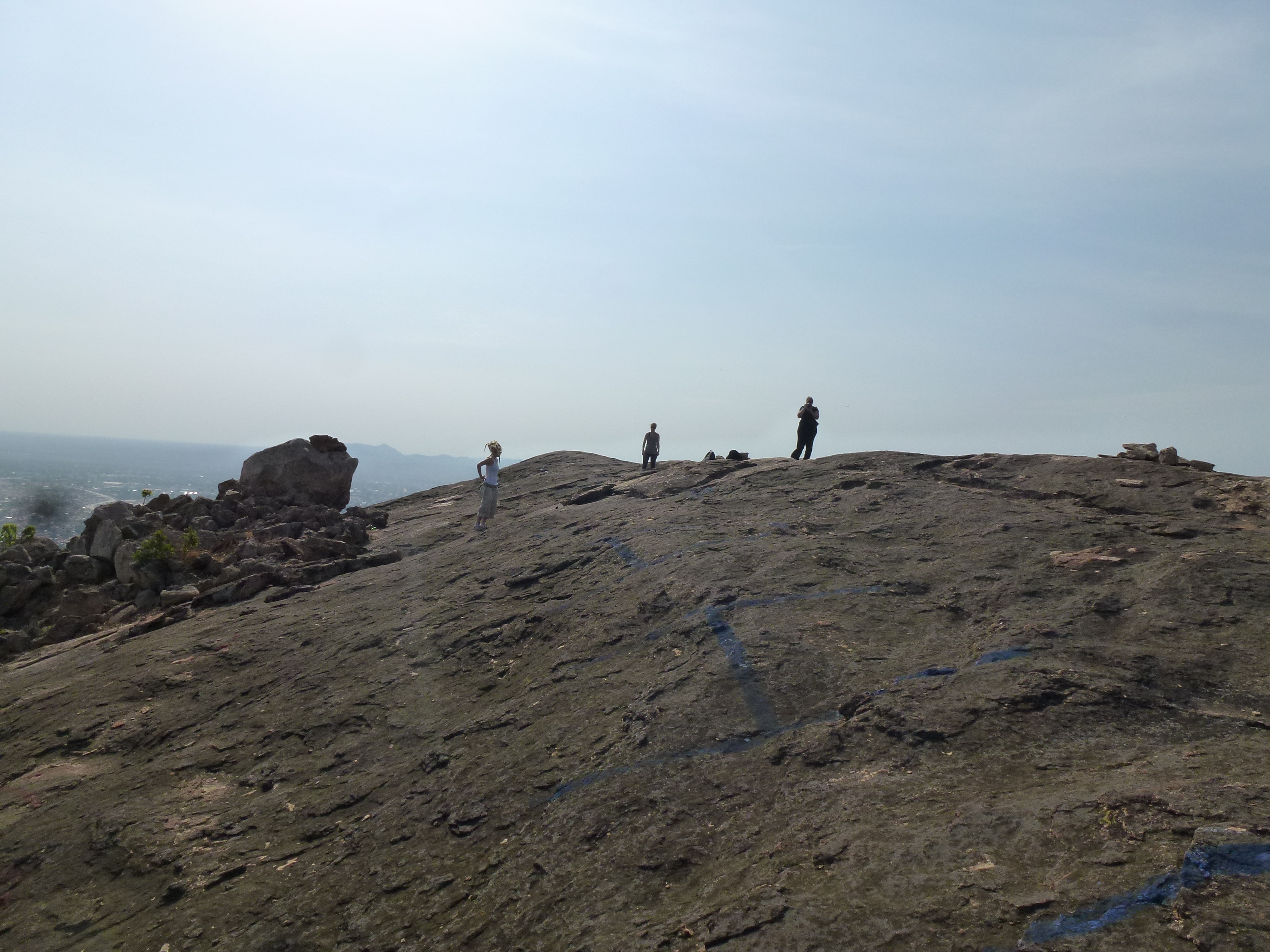
P1030747
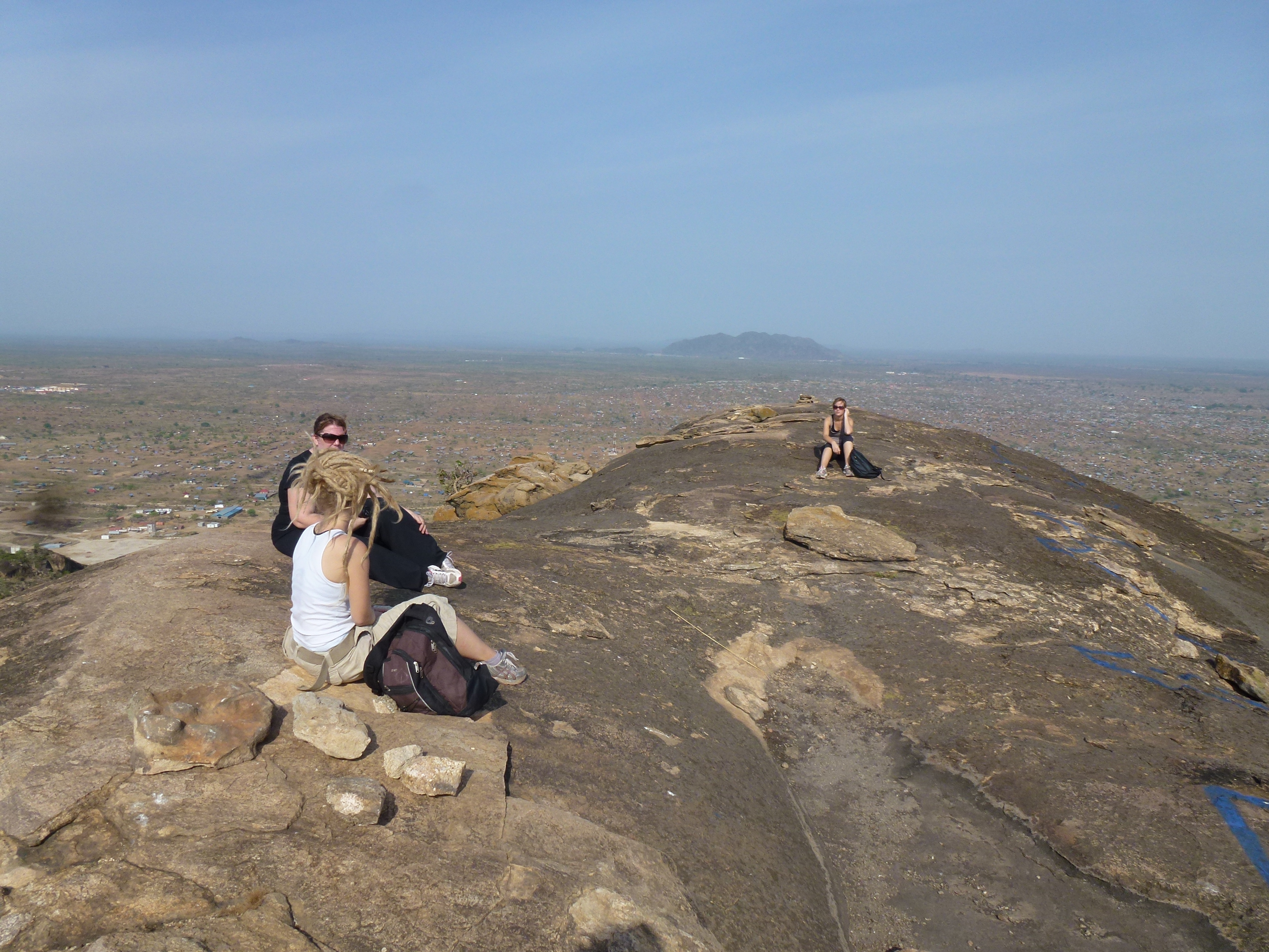
P1030746
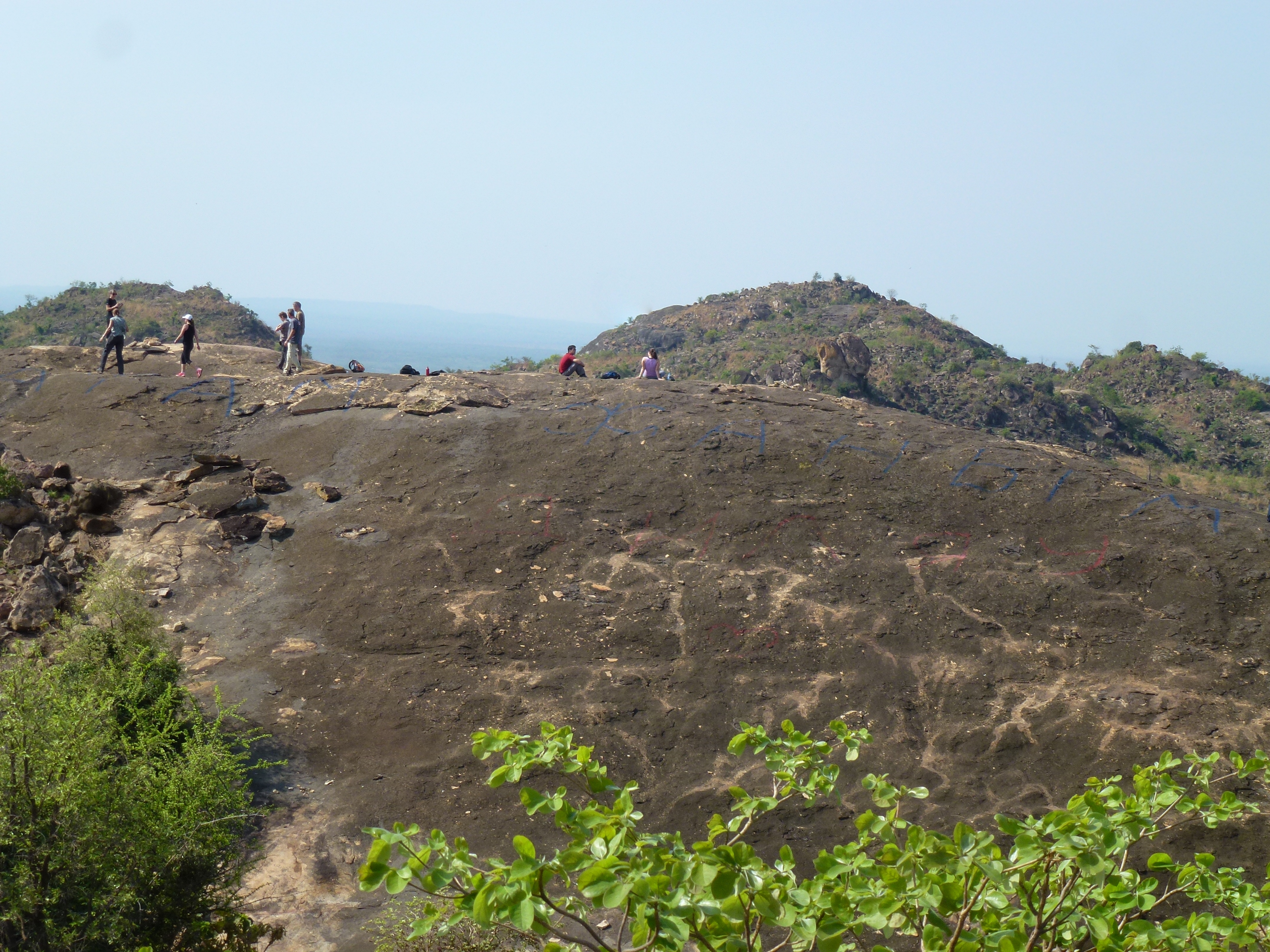
P1030754
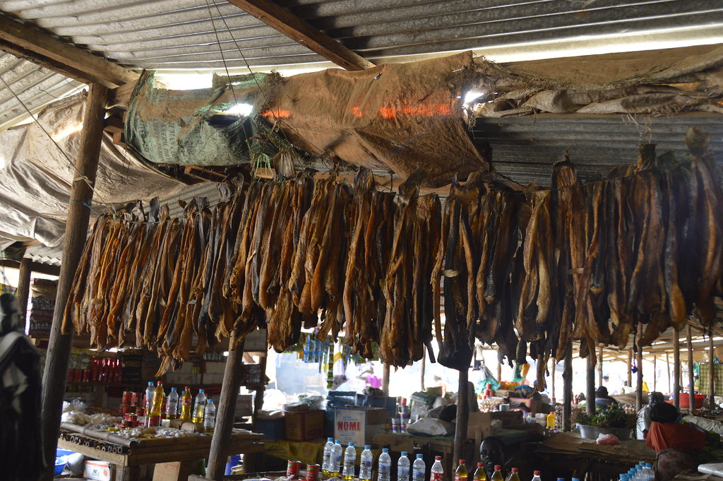
Jebel market
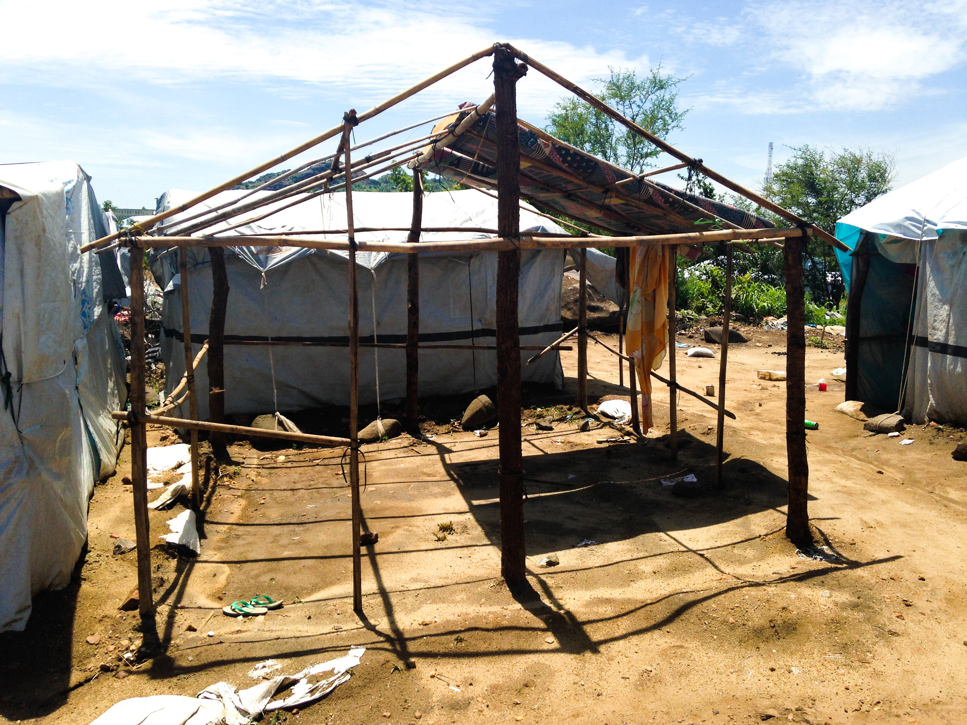
20140522-IMG_0682
Topographic Map of Juba, South Sudan
Find elevation by address:

Places in Juba, South Sudan:
Places near Juba, South Sudan:
Recent Searches:
- Elevation of Corso Fratelli Cairoli, 35, Macerata MC, Italy
- Elevation of Tallevast Rd, Sarasota, FL, USA
- Elevation of 4th St E, Sonoma, CA, USA
- Elevation of Black Hollow Rd, Pennsdale, PA, USA
- Elevation of Oakland Ave, Williamsport, PA, USA
- Elevation of Pedrógão Grande, Portugal
- Elevation of Klee Dr, Martinsburg, WV, USA
- Elevation of Via Roma, Pieranica CR, Italy
- Elevation of Tavkvetili Mountain, Georgia
- Elevation of Hartfords Bluff Cir, Mt Pleasant, SC, USA