Elevation map of Kajokeji, South Sudan
Location: South Sudan > Central Equatoria >
Longitude: 31.5370003
Latitude: 3.9613476
Elevation: 988m / 3241feet
Barometric Pressure: 90KPa
Elevation Map:
Satellite Map:
Related Photos:

P1030690

P1030689

P1030695
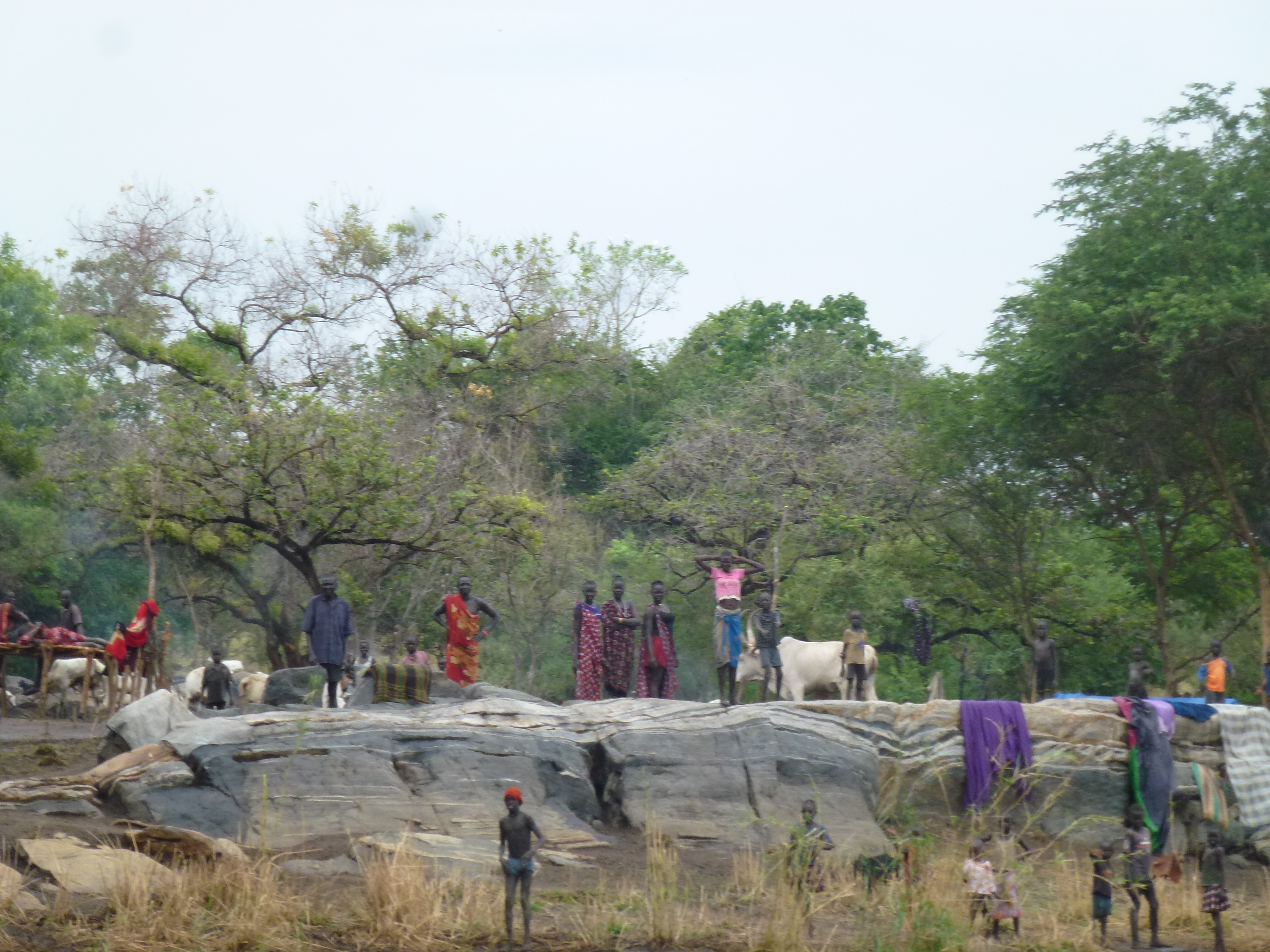
P1030694
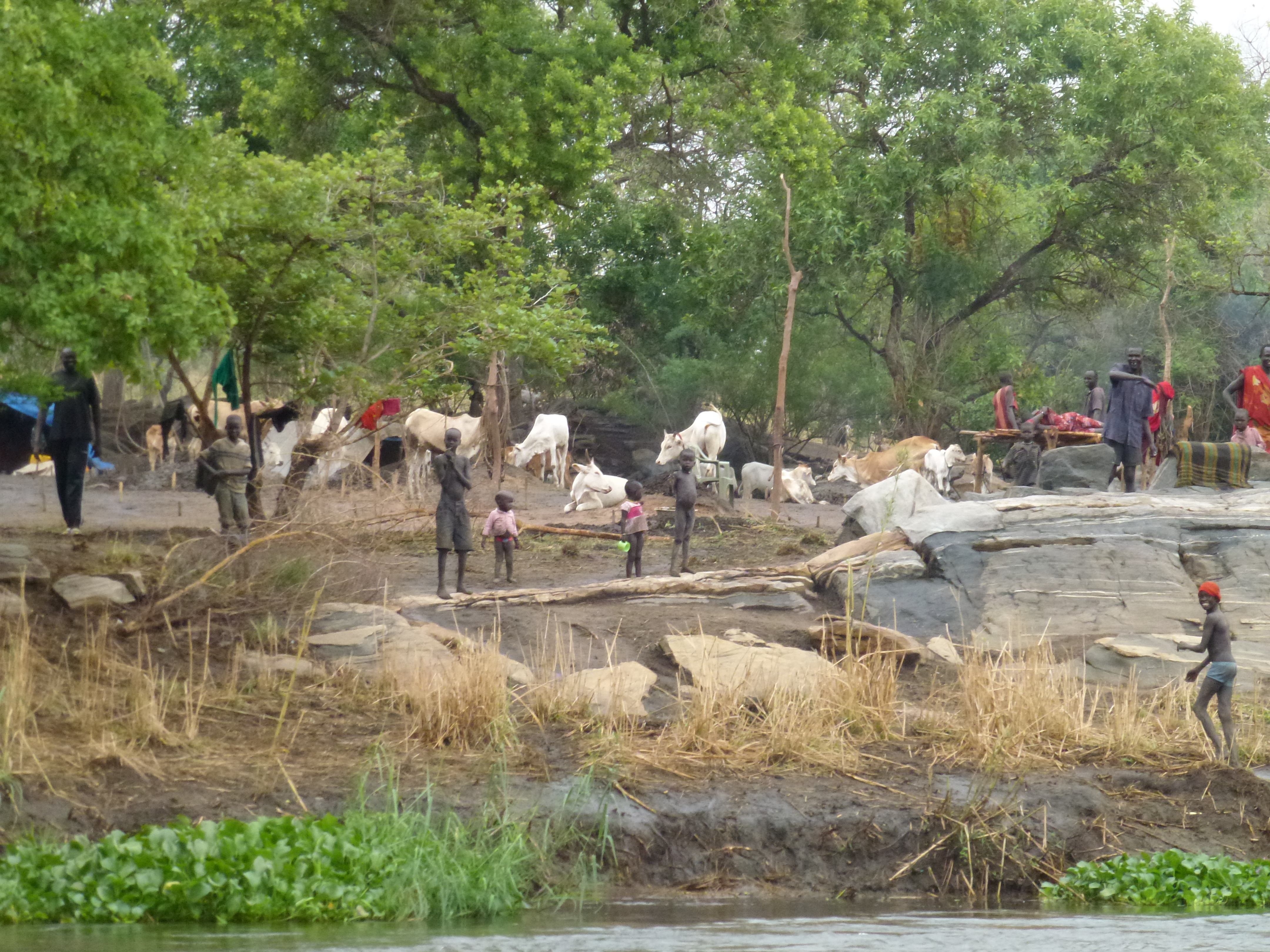
P1030693

P1030692
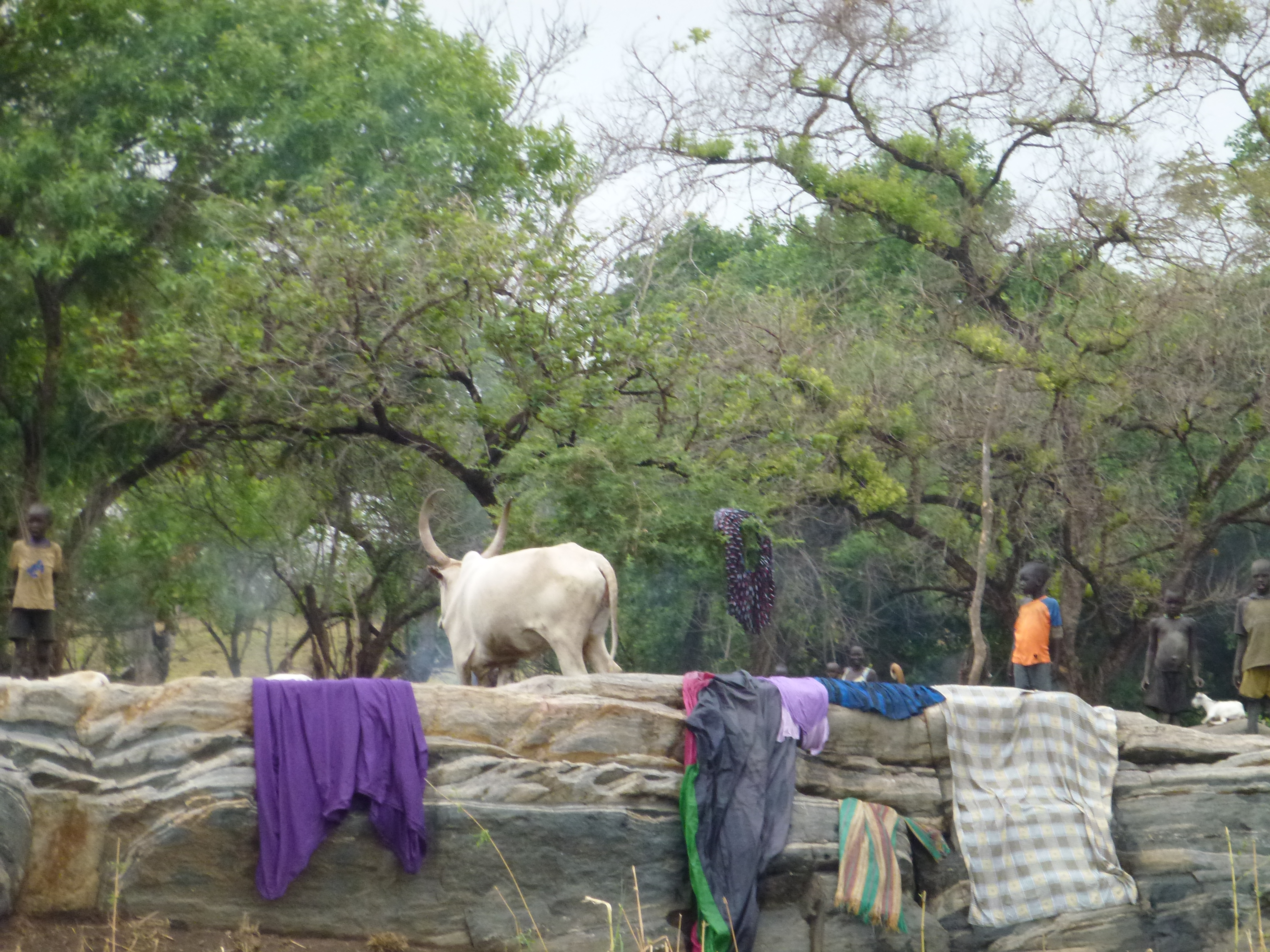
P1030691
Topographic Map of Kajokeji, South Sudan
Find elevation by address:

Places in Kajokeji, South Sudan:
Places near Kajokeji, South Sudan:
Recent Searches:
- Elevation of Corso Fratelli Cairoli, 35, Macerata MC, Italy
- Elevation of Tallevast Rd, Sarasota, FL, USA
- Elevation of 4th St E, Sonoma, CA, USA
- Elevation of Black Hollow Rd, Pennsdale, PA, USA
- Elevation of Oakland Ave, Williamsport, PA, USA
- Elevation of Pedrógão Grande, Portugal
- Elevation of Klee Dr, Martinsburg, WV, USA
- Elevation of Via Roma, Pieranica CR, Italy
- Elevation of Tavkvetili Mountain, Georgia
- Elevation of Hartfords Bluff Cir, Mt Pleasant, SC, USA