Elevation of Turney Ln, Stark City, MO, USA
Location: United States > Missouri > Newton County > Stark City >
Longitude: -94.181739
Latitude: 36.8376949
Elevation: -10000m / -32808feet
Barometric Pressure: 295KPa
Elevation Map:
Satellite Map:
Related Photos:

Bridge - Jolly Mill Park

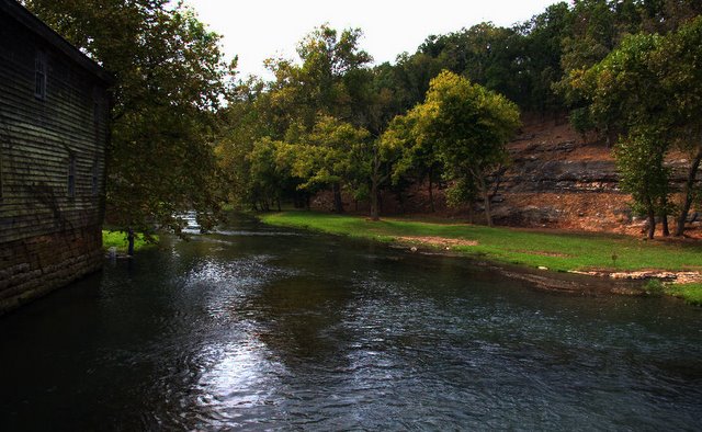
Hudson Creek-Side View
School's Out

Capps Creek, Newton County (Mo.), 23 September 1988

Affair of the Heart II

Shoal Creek-Side View

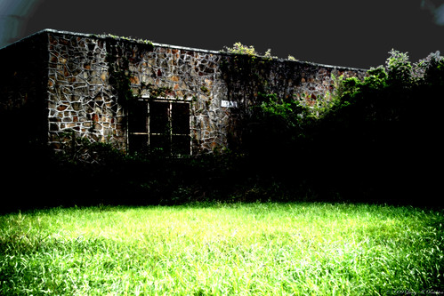
Jolly Mill
Jolly Mill

East Newton 2013 032

East Newton 2013 023

East Newton 2013 001

Entering Barry County (Barry County, Missouri)
Topographic Map of Turney Ln, Stark City, MO, USA
Find elevation by address:

Places near Turney Ln, Stark City, MO, USA:
Stark City
Franklin Township
29999 Mulberry Rd
Richwood Township
State Hwy W, Purdy, MO, USA
County Road, Carthage, MO, USA
Liberty Township
N 6th St, Sarcoxie, MO, USA
Sarcoxie Township
Sarcoxie
3122 I-44bus
3211 I-44bus
Monett Township
7483 Mo-37
Fairway Apartments
21359 State Hwy Pp
401 Frisco Ave
Monett
N Central Ave, Monett, MO, USA
MO-37, Reeds, MO, USA
Recent Searches:
- Elevation of Corso Fratelli Cairoli, 35, Macerata MC, Italy
- Elevation of Tallevast Rd, Sarasota, FL, USA
- Elevation of 4th St E, Sonoma, CA, USA
- Elevation of Black Hollow Rd, Pennsdale, PA, USA
- Elevation of Oakland Ave, Williamsport, PA, USA
- Elevation of Pedrógão Grande, Portugal
- Elevation of Klee Dr, Martinsburg, WV, USA
- Elevation of Via Roma, Pieranica CR, Italy
- Elevation of Tavkvetili Mountain, Georgia
- Elevation of Hartfords Bluff Cir, Mt Pleasant, SC, USA