Elevation of Stark City, MO, USA
Location: United States > Missouri > Newton County >
Longitude: -94.187745
Latitude: 36.8614674
Elevation: -10000m / -32808feet
Barometric Pressure: 295KPa
Elevation Map:
Satellite Map:
Related Photos:

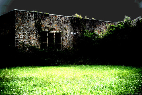
Affair of the Heart II

Weaving a Tangled Web...

Bridge - Jolly Mill Park

Hudson Creek-Side View
School's Out

Capps Creek, Newton County (Mo.), 23 September 1988

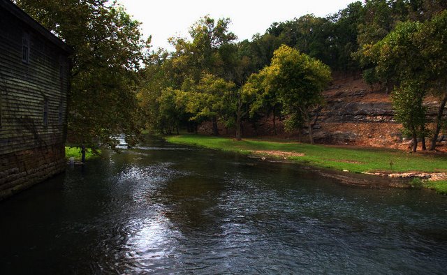
Shoal Creek-Side View

That water looks so inviting

Jolly Mill
Jolly Mill

East Newton 2013 032

East Newton 2013 023

East Newton 2013 001
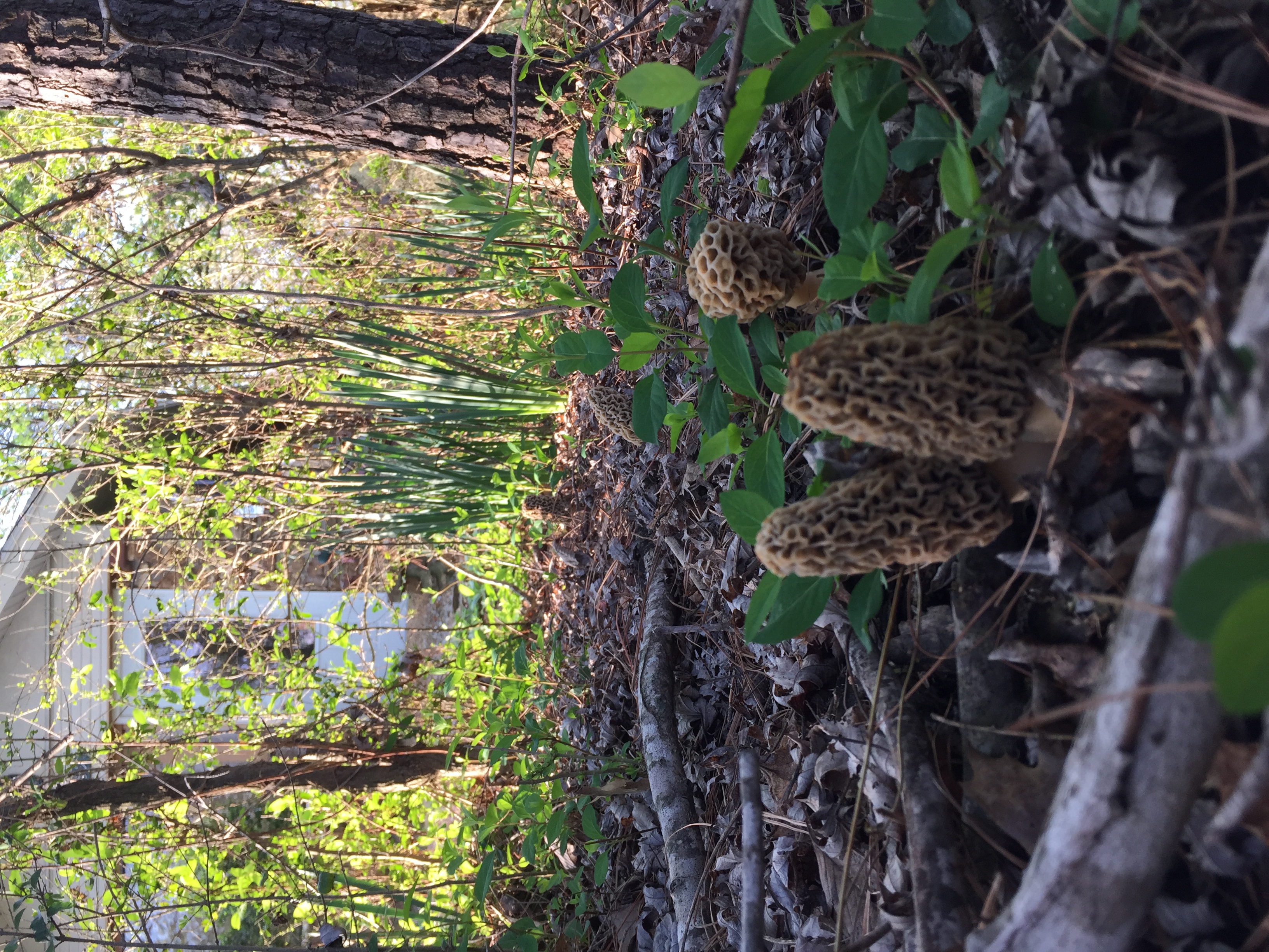
Front yard morels, 5 in photo with front porch door in background
Topographic Map of Stark City, MO, USA
Find elevation by address:

Places near Stark City, MO, USA:
15628 Turney Ln
29999 Mulberry Rd
Franklin Township
Richwood Township
County Road, Carthage, MO, USA
N 6th St, Sarcoxie, MO, USA
Sarcoxie Township
Sarcoxie
3122 I-44bus
3211 I-44bus
State Hwy W, Purdy, MO, USA
Liberty Township
21359 State Hwy Pp
Monett Township
MO-37, Reeds, MO, USA
Reeds
Fairway Apartments
7483 Mo-37
401 Frisco Ave
4625 Falcon Ln
Recent Searches:
- Elevation of Corso Fratelli Cairoli, 35, Macerata MC, Italy
- Elevation of Tallevast Rd, Sarasota, FL, USA
- Elevation of 4th St E, Sonoma, CA, USA
- Elevation of Black Hollow Rd, Pennsdale, PA, USA
- Elevation of Oakland Ave, Williamsport, PA, USA
- Elevation of Pedrógão Grande, Portugal
- Elevation of Klee Dr, Martinsburg, WV, USA
- Elevation of Via Roma, Pieranica CR, Italy
- Elevation of Tavkvetili Mountain, Georgia
- Elevation of Hartfords Bluff Cir, Mt Pleasant, SC, USA