Elevation of State Hwy W, Purdy, MO, USA
Location: United States > Missouri > Barry County > Liberty Township >
Longitude: -93.982945
Latitude: 36.7449607
Elevation: 440m / 1444feet
Barometric Pressure: 96KPa
Elevation Map:
Satellite Map:
Related Photos:

Butterfield, Missouri in 1939
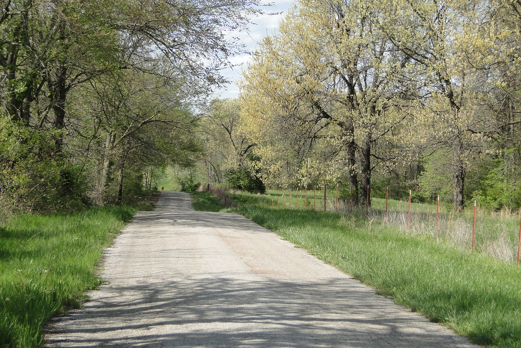
Country Road

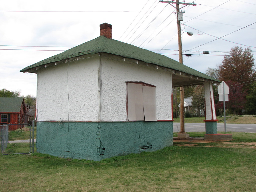
Old Skelly Gas Station 2
School's Out
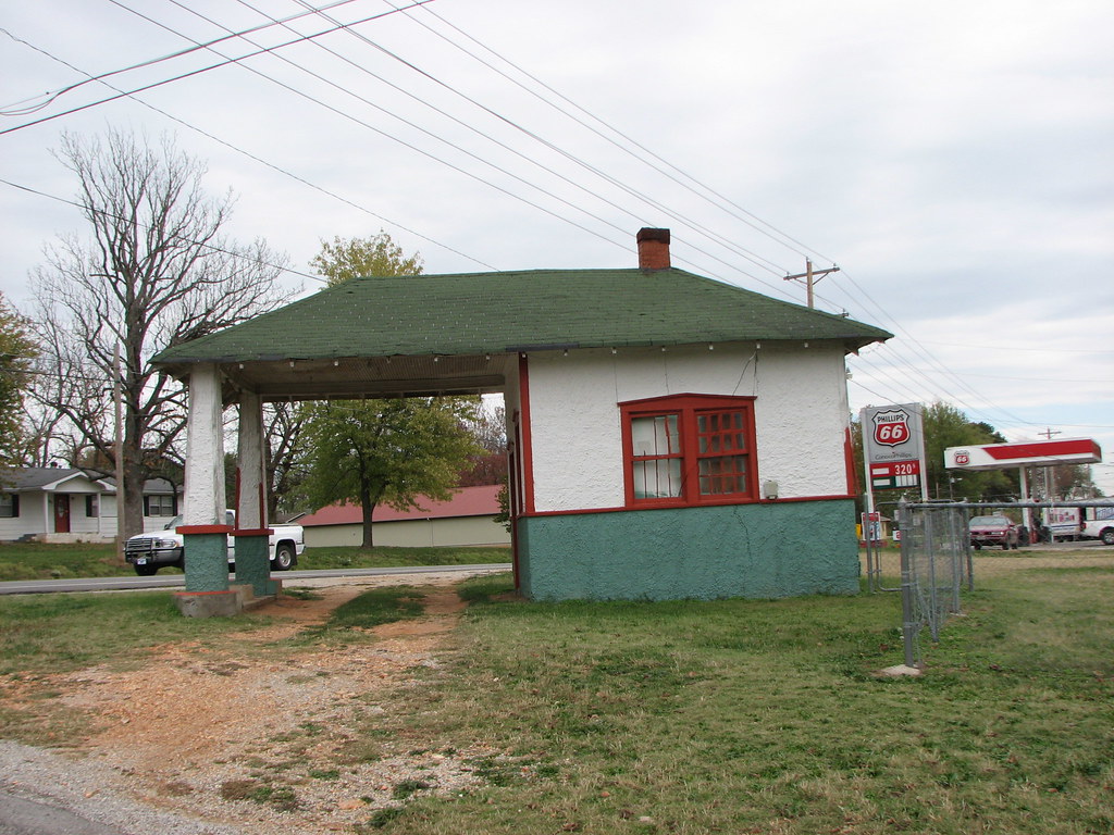
Exeter Texaco-Side View
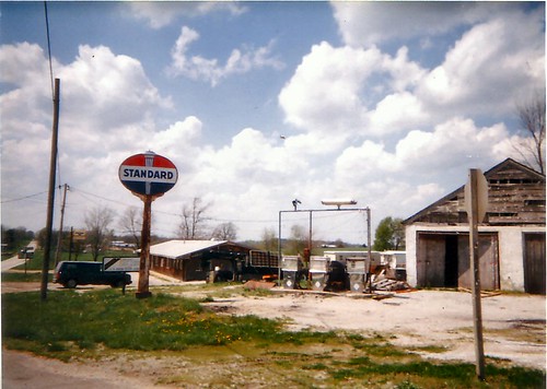
Exeter Standard II
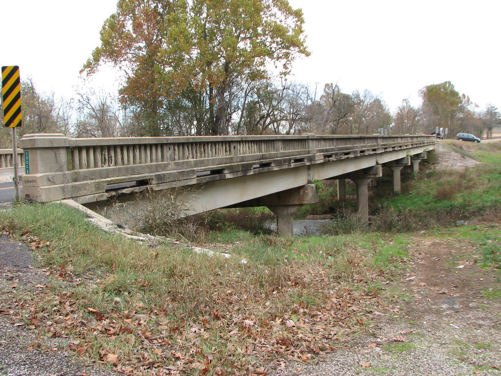
Hudson Creek-Side View
Exeter Texaco-Rear View
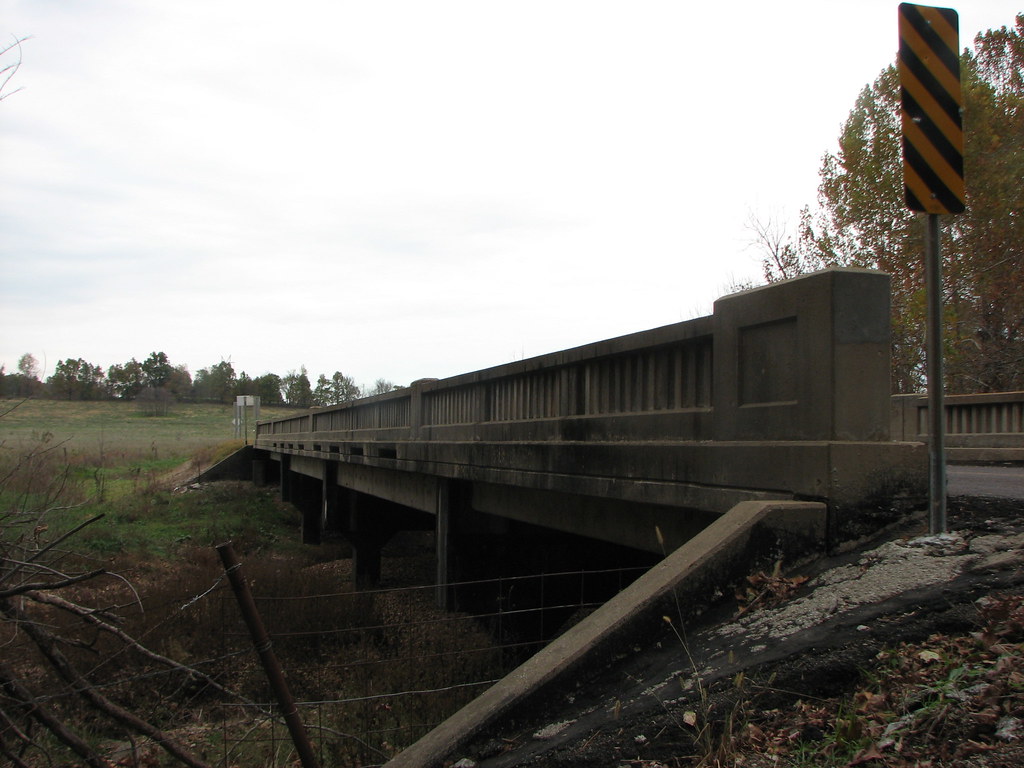
Flat Creek 1142-Side View
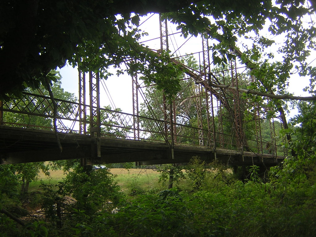
Shoal Creek-Side View
RHG_6476
CAC026861a

CAC027025a

CAC026990a

CAC026993a
Topographic Map of State Hwy W, Purdy, MO, USA
Find elevation by address:

Places near State Hwy W, Purdy, MO, USA:
Liberty Township
7483 Mo-37
Mineral Springs Road District
Cassville
Franklin Township
Richwood Township
Monett Township
Fairway Apartments
Flat Creek Township
29999 Mulberry Rd
Lai Lai Asian Buffet And Dining
401 Frisco Ave
14238 Fr 2110
339 State Hwy 90
Monett
N Central Ave, Monett, MO, USA
15132 Fr 1155
Barry County
Grace Independent Methodist Church
Mcdowell Township
Recent Searches:
- Elevation of Corso Fratelli Cairoli, 35, Macerata MC, Italy
- Elevation of Tallevast Rd, Sarasota, FL, USA
- Elevation of 4th St E, Sonoma, CA, USA
- Elevation of Black Hollow Rd, Pennsdale, PA, USA
- Elevation of Oakland Ave, Williamsport, PA, USA
- Elevation of Pedrógão Grande, Portugal
- Elevation of Klee Dr, Martinsburg, WV, USA
- Elevation of Via Roma, Pieranica CR, Italy
- Elevation of Tavkvetili Mountain, Georgia
- Elevation of Hartfords Bluff Cir, Mt Pleasant, SC, USA