Elevation of Turkey Creek Township, AR, USA
Location: United States > Arkansas > Stone County >
Longitude: -92.243348
Latitude: 35.7416941
Elevation: 403m / 1322feet
Barometric Pressure: 97KPa
Elevation Map:
Satellite Map:
Related Photos:
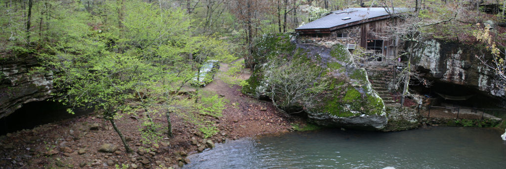
View from the waterfall

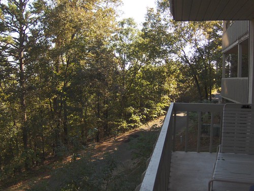
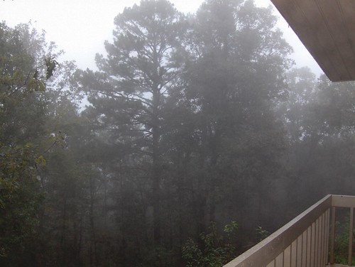
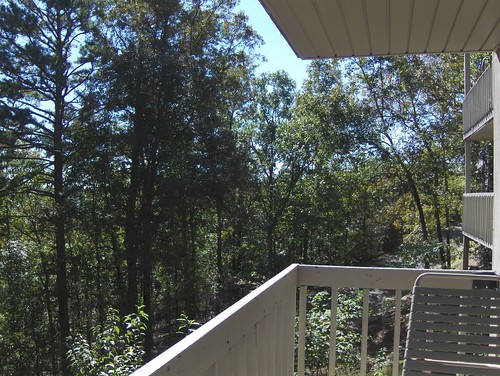
Cabin 2 View
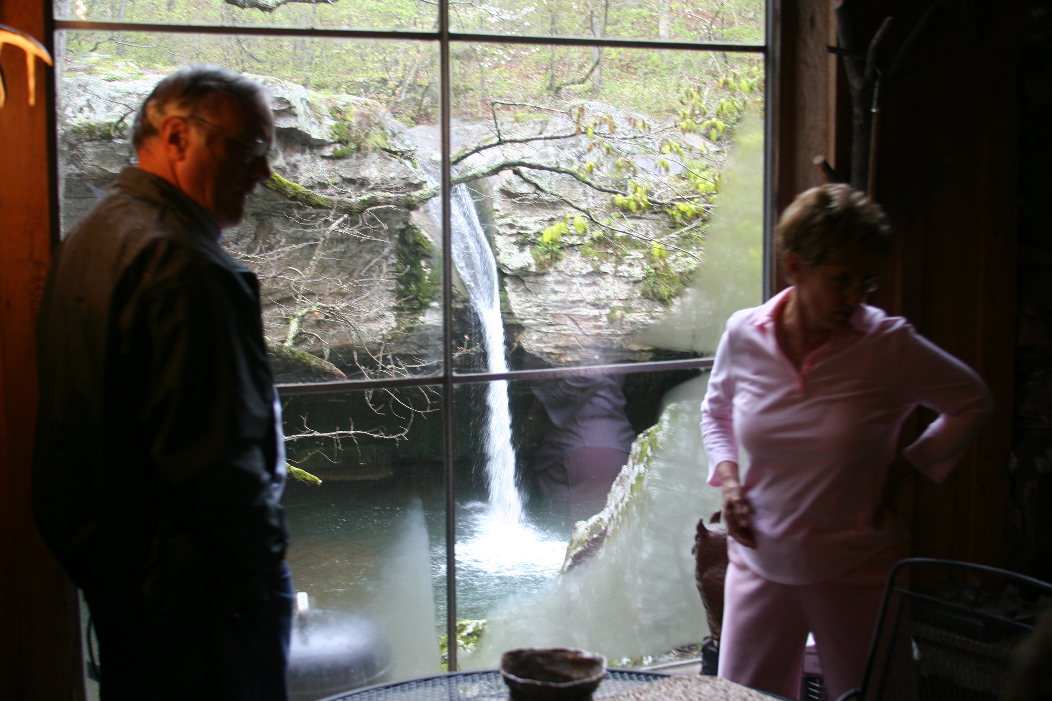
Window View

Arkansas Carp and Scenes-3

Garter Snake
Fairfield Bay, Arkansas
Fairfield Bay, Arkansas
Fairfield Bay, Arkansas
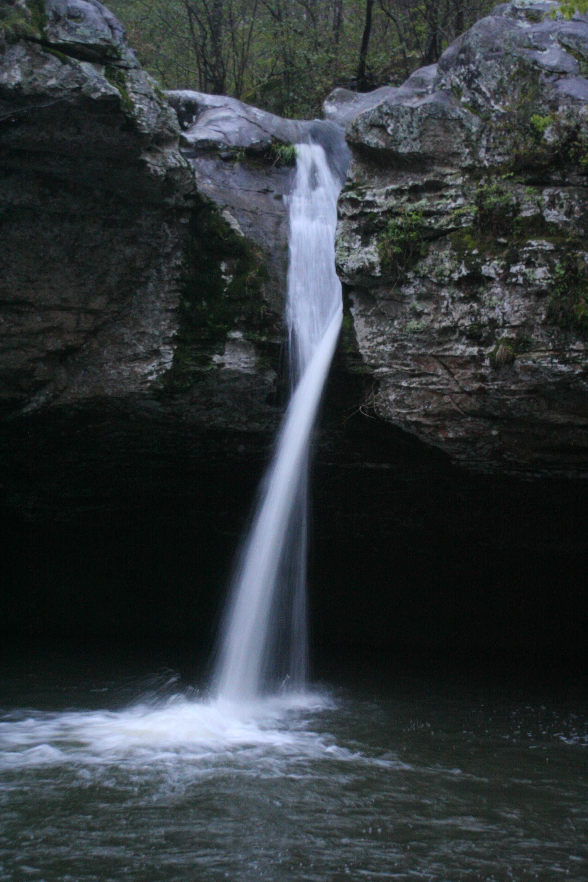
Water Fall shot
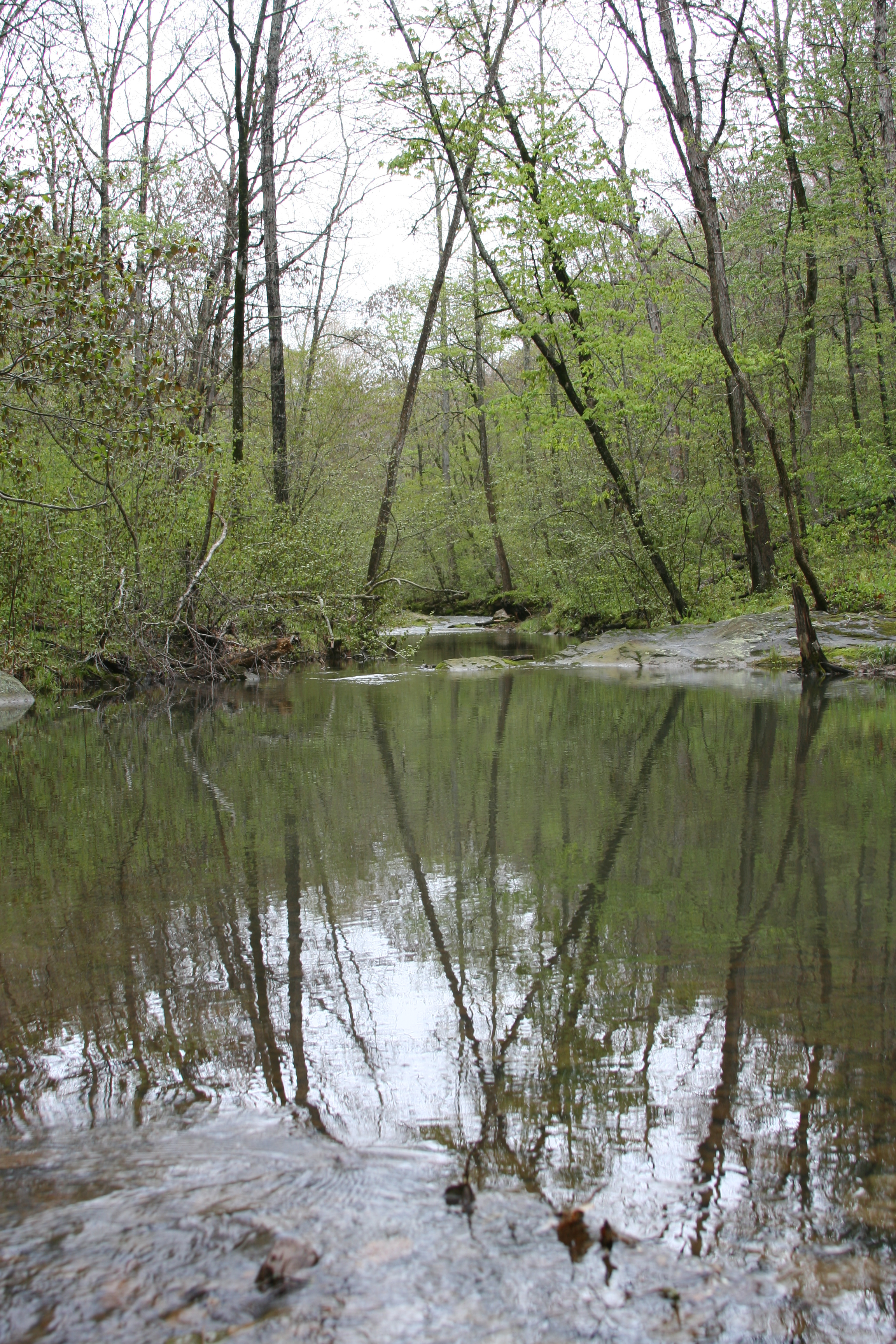
Reflection Pool
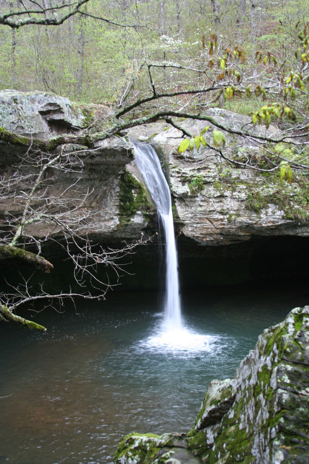
Water Fall

Ah, spring!
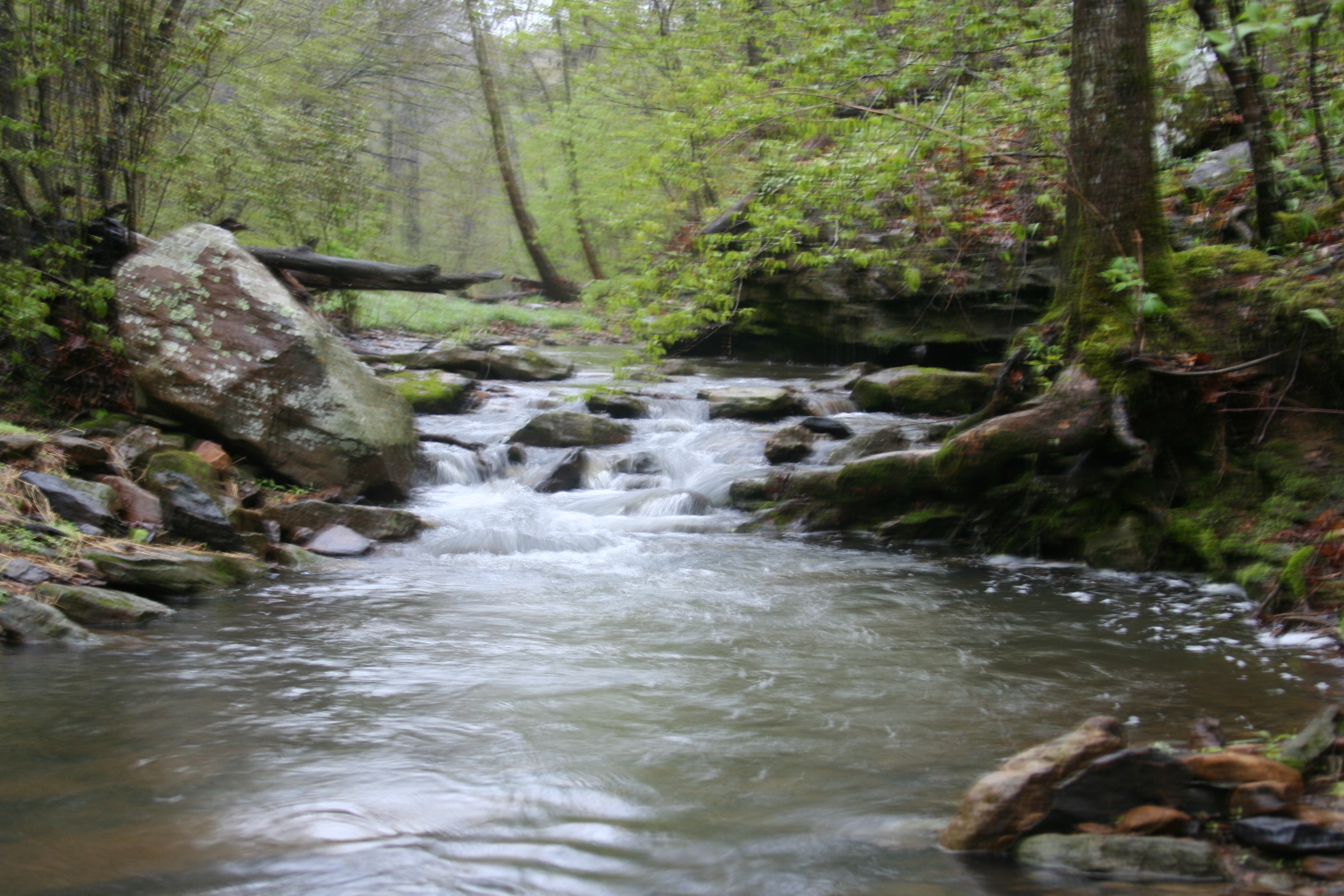
Stream again..

Field Grass
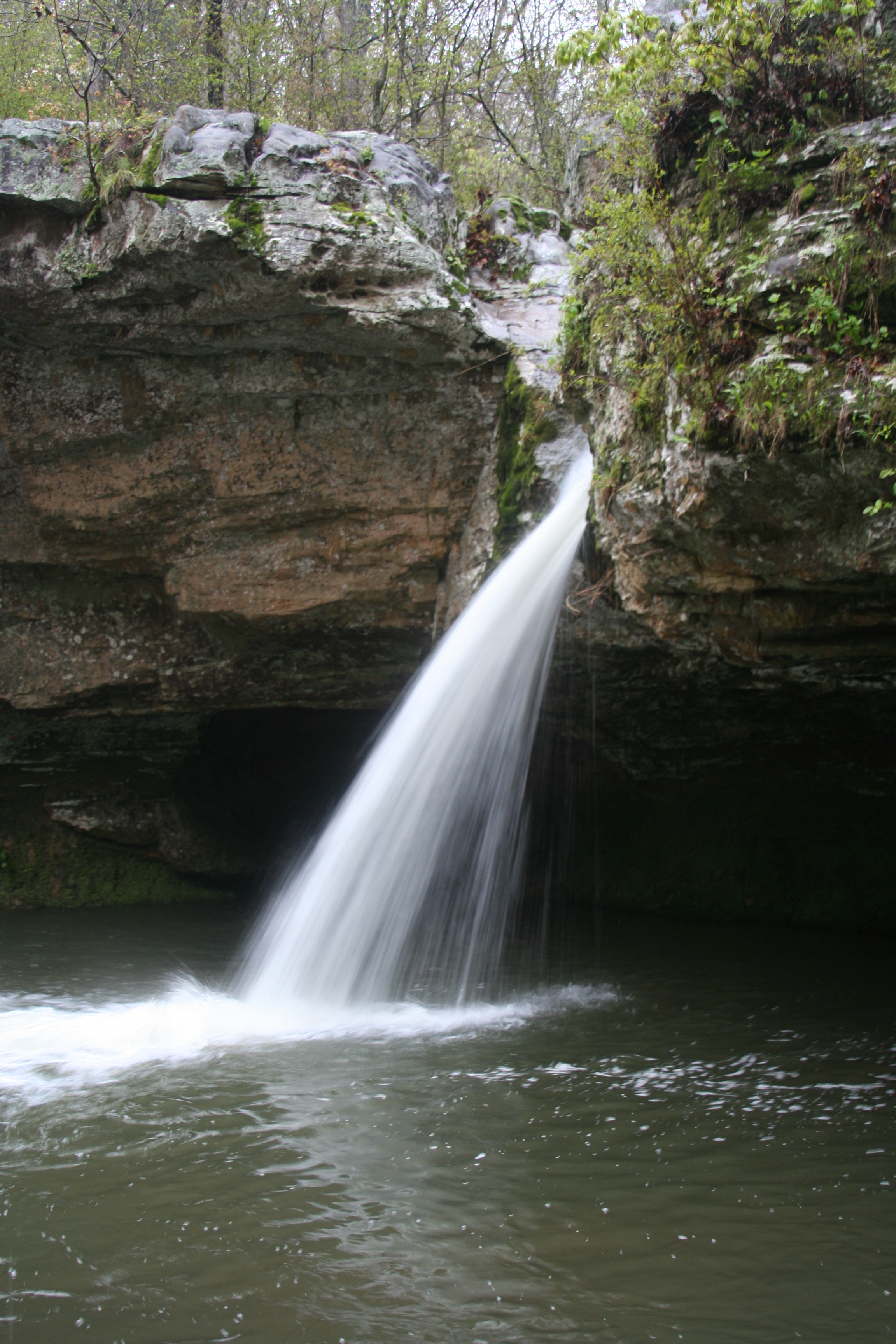
Water fall.
Topographic Map of Turkey Creek Township, AR, USA
Find elevation by address:

Places in Turkey Creek Township, AR, USA:
Places near Turkey Creek Township, AR, USA:
220 Junction Rd
3378 Ar-9
3378 Ar-9
AR-9, Fox, AR, USA
AR-9, Mountain View, AR, USA
Stone County
Fox
McElroy Rd, Fox, AR, USA
Hart Ridge Road
Union Township
3646 Red River Rd
Lute Mountain Road
849 Sugar Hill Rd
Community Dr, Mountain View, AR, USA
1236 Blair Rd
Richwoods Township
Dodd Ln, Fox, AR, USA
419 Jimmy Creek Rd
Red River Township
1333 Hub Willis Rd
Recent Searches:
- Elevation of Corso Fratelli Cairoli, 35, Macerata MC, Italy
- Elevation of Tallevast Rd, Sarasota, FL, USA
- Elevation of 4th St E, Sonoma, CA, USA
- Elevation of Black Hollow Rd, Pennsdale, PA, USA
- Elevation of Oakland Ave, Williamsport, PA, USA
- Elevation of Pedrógão Grande, Portugal
- Elevation of Klee Dr, Martinsburg, WV, USA
- Elevation of Via Roma, Pieranica CR, Italy
- Elevation of Tavkvetili Mountain, Georgia
- Elevation of Hartfords Bluff Cir, Mt Pleasant, SC, USA