Elevation of Tullyboy Road, Tullyboy Rd, Moneymore, Magherafelt BT45 7YE, UK

Location: United Kingdom > Northern Ireland > Mid Ulster >

Longitude: -6.7013552

Latitude: 54.6609233

Elevation: 46m / 151feet

Barometric Pressure: 101KPa

Elevation Map:

elevation map of Tullyboy Road, Tullyboy Rd, Moneymore, Magherafelt BT45 7YE, UK

Satellite Map:

Satellite map of Tullyboy Road, Tullyboy Rd, Moneymore, Magherafelt BT45 7YE, UK

Related Photos:

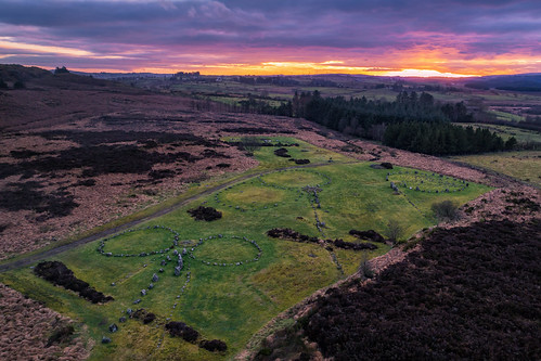
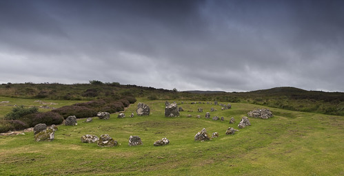
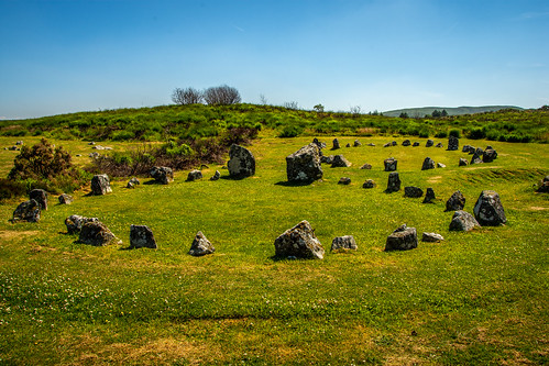
ancient pagan druid druids stone circle standing stones worship monument monuments county ireland landscape tourist tourism site visit scenic landmark sun set sunset sky summer country side countryside gareth wray photography tyrone irish eire rock rocks granite national trust colourful clear day horizon historic beaghmore cookstown cairns rows sperrins burial famous photographer vacation europe neolithic bronze age p4p grass dji phantom 4 drone aerial celtic architecture plant quadcopter four pro magalith
“Beaghmore Stone Circles” – Can you solve this mystery?
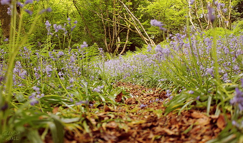
wood uk morning blue trees ireland irish colour nature leaves bluebells forest canon woodland spring purple path may londonderry northernireland ferns glenda lowangle bluebellwood countylondonderry lowpov colondonderry 60d canon60d moneymore snailsview carndaisyglen glendahall
Snail's View
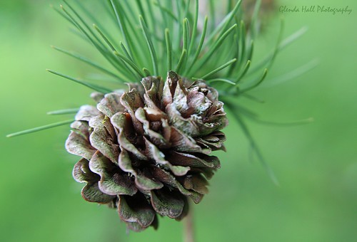
uk ireland macro green nature closeup canon evening spring focus soft dof may pineneedles pines greens northernireland pinecone forestpark ulster tyrone cookstown countytyrone macroring 2013 sooc drummanor canoneos60d softgreens softpines fleursetpaysages glendahall
Soft Pines
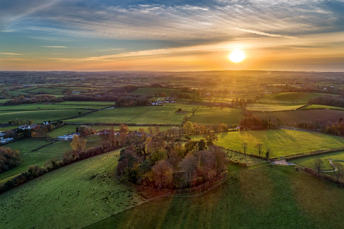
ancient oneil o’neill oneill cookstown ni tullyhogue kings crowned chieftains ulster irish hill lookout fort ring ringed burt county donegal ireland summer landmark stone monument tourist site famous visit scenic countryside druid celtic gareth wray photography sun island historic aerial drone dji phantom 4 p4p pro quadcopter national gaelic photographer garethwrayphotography vacation holiday sunset kingdom architecture landscape grass sky
“Tullyhogue Fort” - Ancient Ceremonial Site
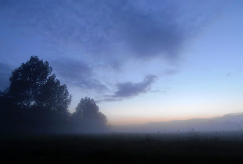
mist evening fields tyrone coalisland coalislandcanal clonoe
Mist in the Fields
road with a view
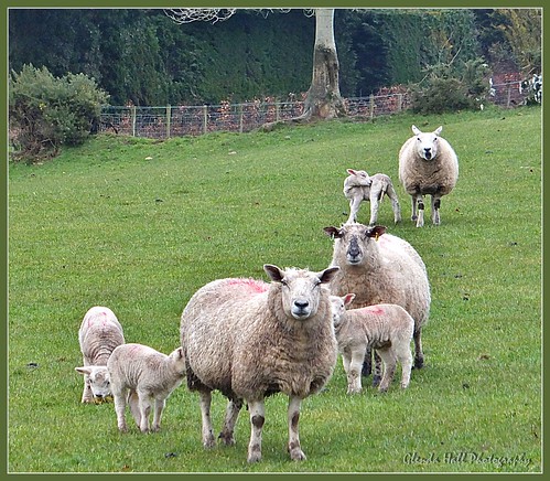
field rural march countryside spring fuji sheep faces farm farmland finepix lambs challenge derry lookatthecamera ewes countyderry ruralscene exr 2013 coderry weeklychallenge colondonderry funnysheep desertmartin f770 glendahall glendahallphotography
Oi!!! Ewe With The Camera!!!
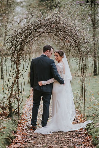
autumnwedding northernirelandweddingphotography purephotoni roisindale tullylaganhousewedding weddingphotographernorthernireland wedding tullylagan weddingphotosattullylagan nikond750 nikon85mmf14g
Tullylagan Country House Hotel wedding
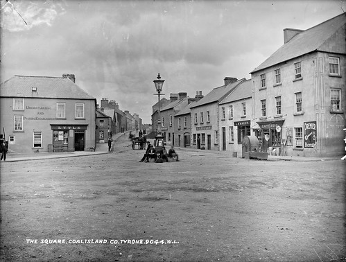
robertfrench williamlawrence lawrencecollection lawrencephotographicstudio thelawrencephotographcollection glassnegative nationallibraryofireland thesquare coalisland cotyrone lytlesshop ulster tyrone northernireland countytyrone mainstreet dogs stpatrickshall premierbicycles francisvincentfullen lytle fullen bsafittings tullyniskane ulysses
Square, Coalisland, Co. Tyrone
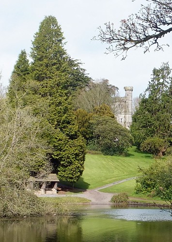
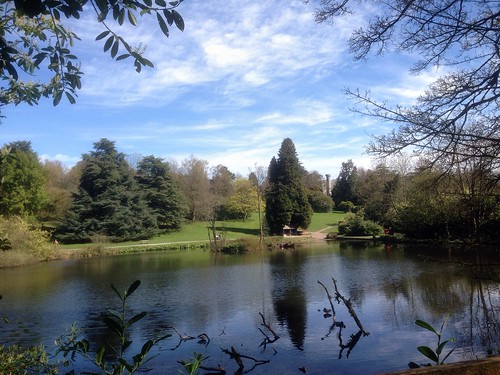
park trees lake tower water forest pond view april northernireland tyrone cookstown drummanor
What A View
blue ireland roof sky rooftop aerial northernireland ni ulster nireland countylondonderry magherafelt countyderry coderry colondonderry colderry countylderry
Aerial View
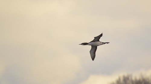
ireland lough pacific diver pacifica loon fea tyrone gavia
Flying Pacific Loon
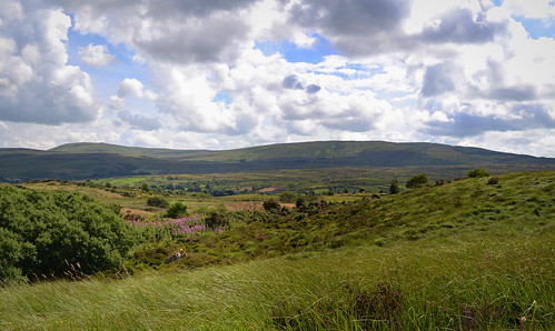
rural day cloudy mast derry transmitter sperrinmountains slievegallion
Slieve Gallion
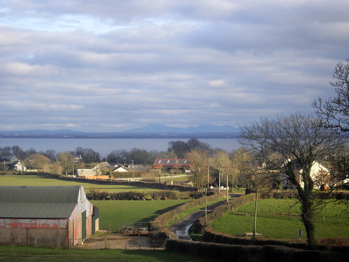
view antrim tyrone nationalcyclenetwork route94 slemish loughneagh bigcollin loughshoretrail moorown
Across to the Antrim Hills
lake crannog tyrone artificialisland newmills roughanlough
Roughan View
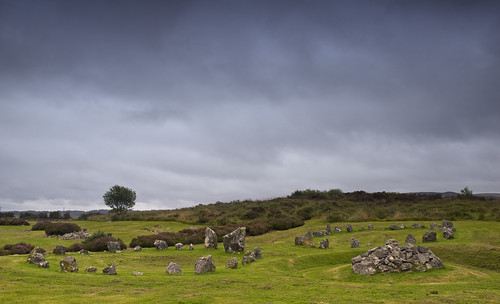
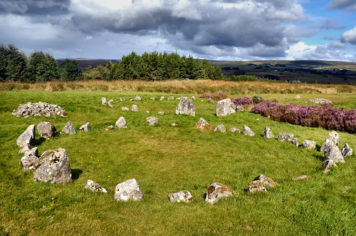
geotagged northernireland stonecircle megalith alignment countytyrone beaghmore geo:lat=54700721 geo:lon=6938381 beitheachmór
Beaghmore circles F&G
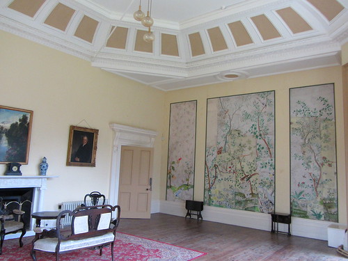
interior ballroom inside manorhouse plantationhouse cookstown europeanheritageopendays countryresidence lissanhouse
Lissan House - Ballroom
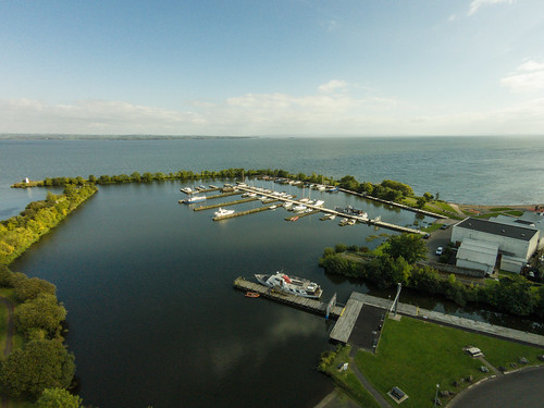
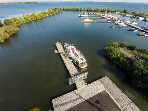
uk ireland view unitedkingdom aerial vision v3 northernireland plus phantom northern dji ballyronan quadcopter
Aerial View of Ballyronan
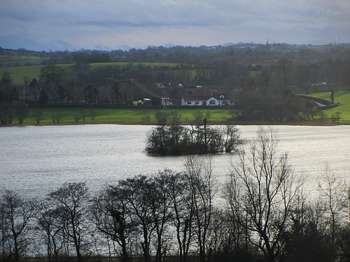
Across the Lough
uk ireland view unitedkingdom aerial vision v3 northernireland plus phantom northern dji ballyronan quadcopter
Aerial View of Ballyronan
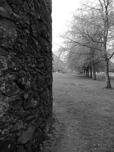
blackandwhite tower mill stone wall walk hill springhill row avenue nationaltrust 18thcentury beech cornmill moneymore ballindrum
Tree Wall
canon6d canon24105 panorama slievegallion coantrim colondonderry loughneagh nireland clouds
From Slieve Gallion
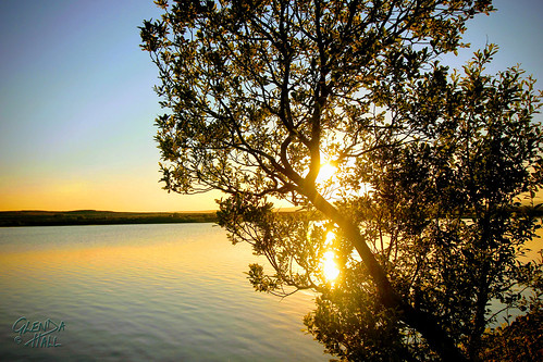
sunset sky sun lake reflection water clouds lough fuji april northernireland 2012 tyrone cookstown loughfea
Mirror, Mirror
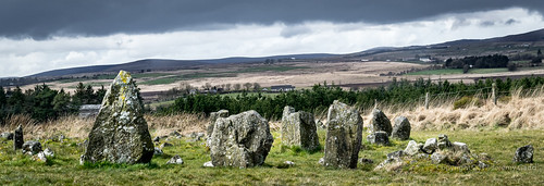
ireland mysterious northernireland northern ulster countytyrone ancientstones beaghmorestonecircles stonecirclesofireland stonecirclesofnorthernireland
Mysterious stones
yellow fields
geotagged northernireland stonecircle megalith alignment countytyrone beaghmore beitheachmór geo:lat=54700573 geo:lon=6938467
Beaghmore, circles F&G from west
loughfea cookstown countytyrone sunset water lake eveningdrive glendahall june summer
Evening Paradise
Beaghmore 2
water river nireland coantrim canonpowershots95
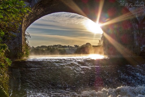
Through the bridge
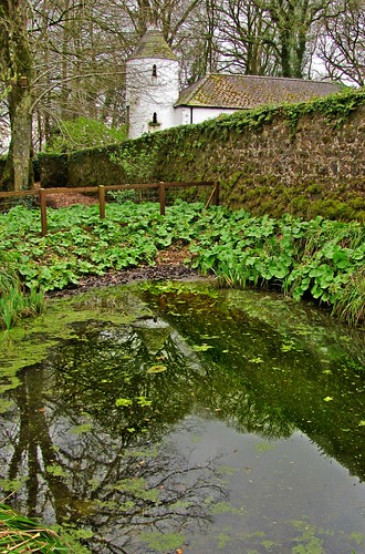
Perspectives pool at Springhill House
uploaded:by=flickrmobile flickriosapp:filter=nofilter
Drum Manor forest park Co. Tyrone
bridge light tree water river tyrone coagh ballinderry cam:panasonic=tz5
sparkling water
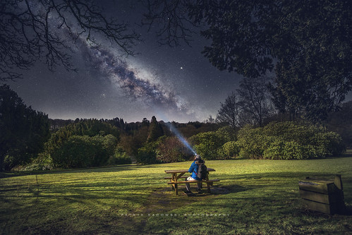
milkyway cookstown ireland northernireland nightscape picnic
Its a great night for a Picnic!
blue summer sky cloud green lough tyrone neagh ardboe cam:panasonic=tz5
ardboe shores
ulster
Beaghmore Stone Circles
blue summer sky cloud green lough harbour slipway tyrone neagh ardboe cam:panasonic=tz5
the second biggest natural harbour in the world, after sydney
hab hadie ukhas ssdv
2011-12-03--11-23-57-HADIE-13
BREAGHMORE STONES COOKSTOWN CO.TYRONE