Elevation of Castledawson, Magherafelt BT45, UK
Location: United Kingdom > Northern Ireland > Magherafelt >
Longitude: -6.557919
Latitude: 54.7782341
Elevation: 33m / 108feet
Barometric Pressure: 101KPa
Elevation Map:
Satellite Map:
Related Photos:

Big Ball Of Heat
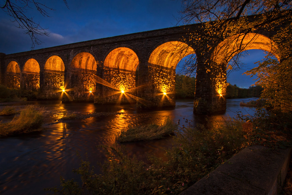
Randalstown Viaduct

Education Minister John O’Dowd pictured with a pupil as he visited Moneynick and Duneane Primary Schools in County Antrim

DSD Minister Mervyn Storey MLA enjoys an ice cream in the newly revitalised Kandy Store in Randalstown with shop owner Eileen Warwick and Deputy Mayor of Antrim & Newtownabbey John Blair

Snail's View

road with a view

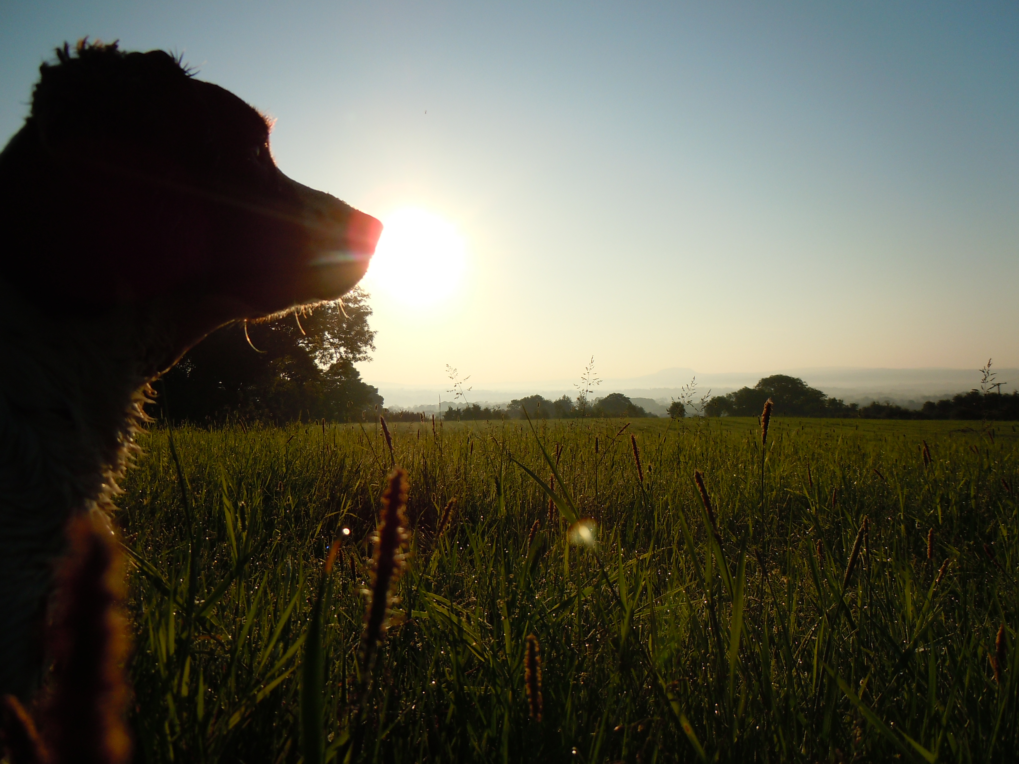
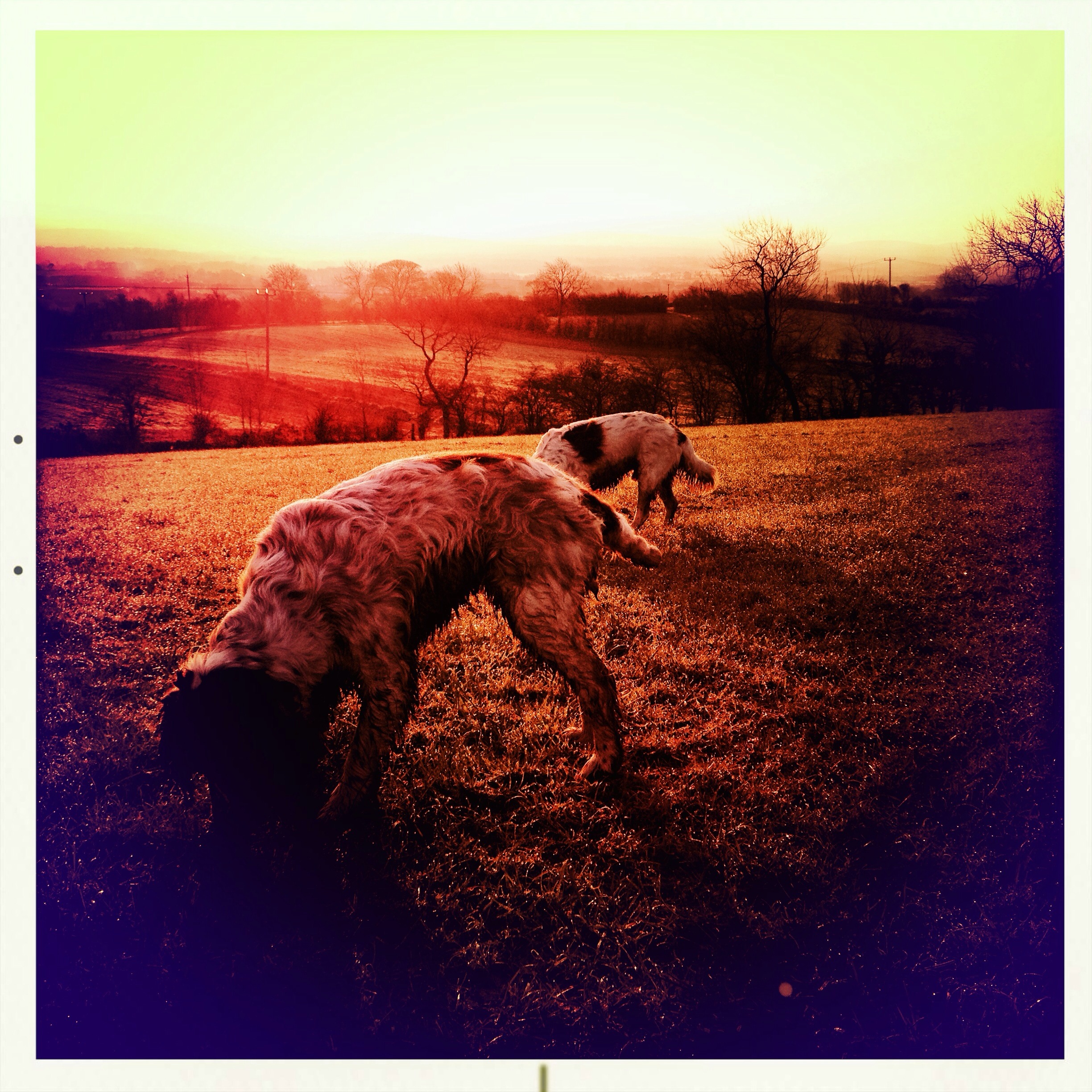
Chili & Tess enjoying the great day!! #springer #springerspaniel #sunrise #sun #dogwalking #clouds

Oi!!! Ewe With The Camera!!!

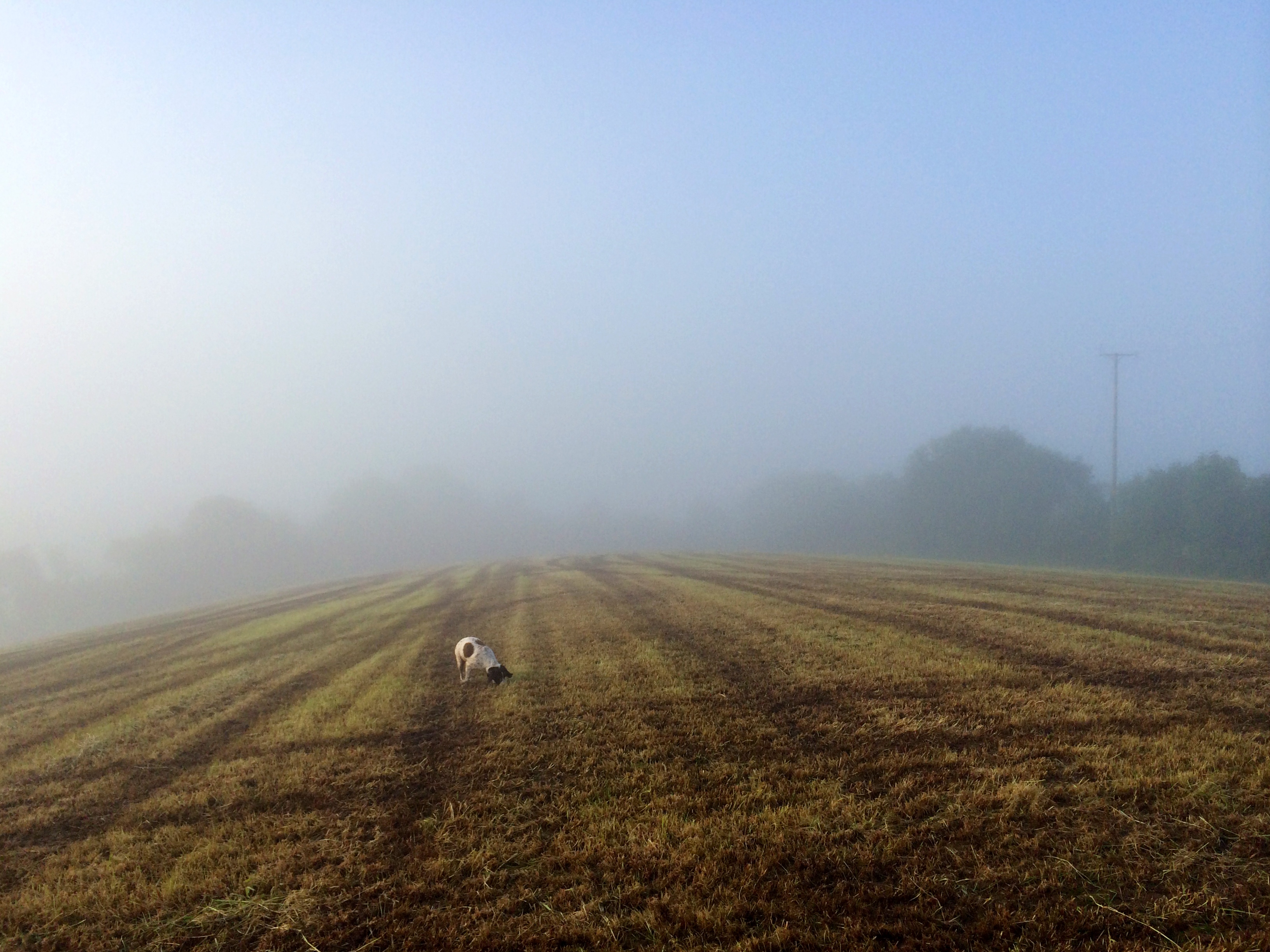
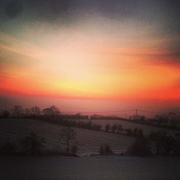
My view this morning #dogwalking #slemish #fog

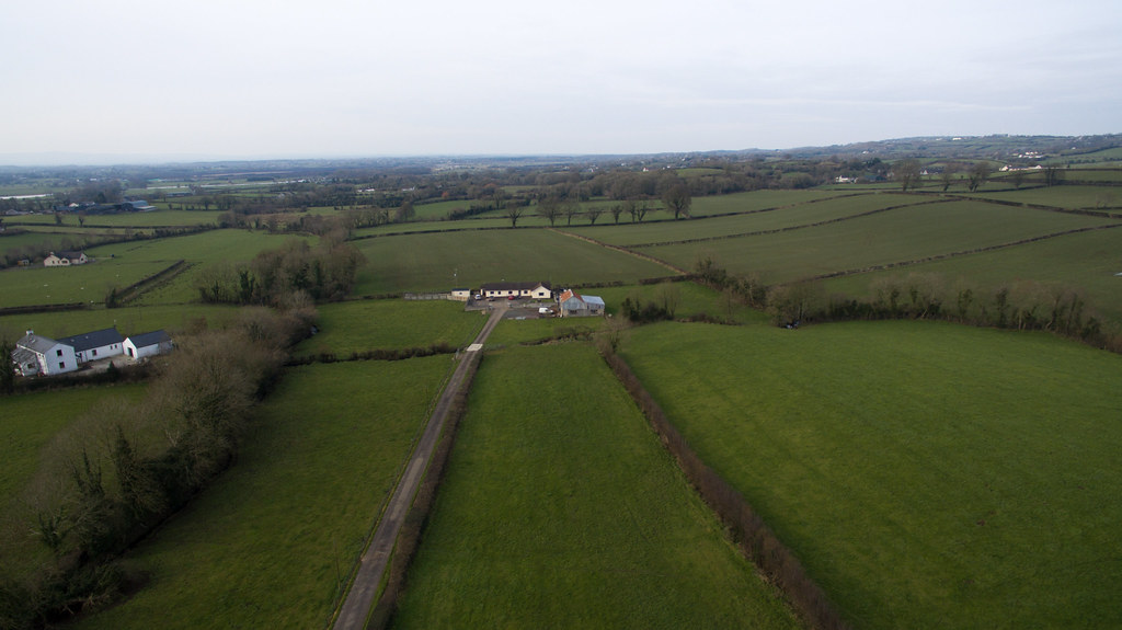
Maghera from the Air

Maghera from the Air
Chili enjoying the morning view

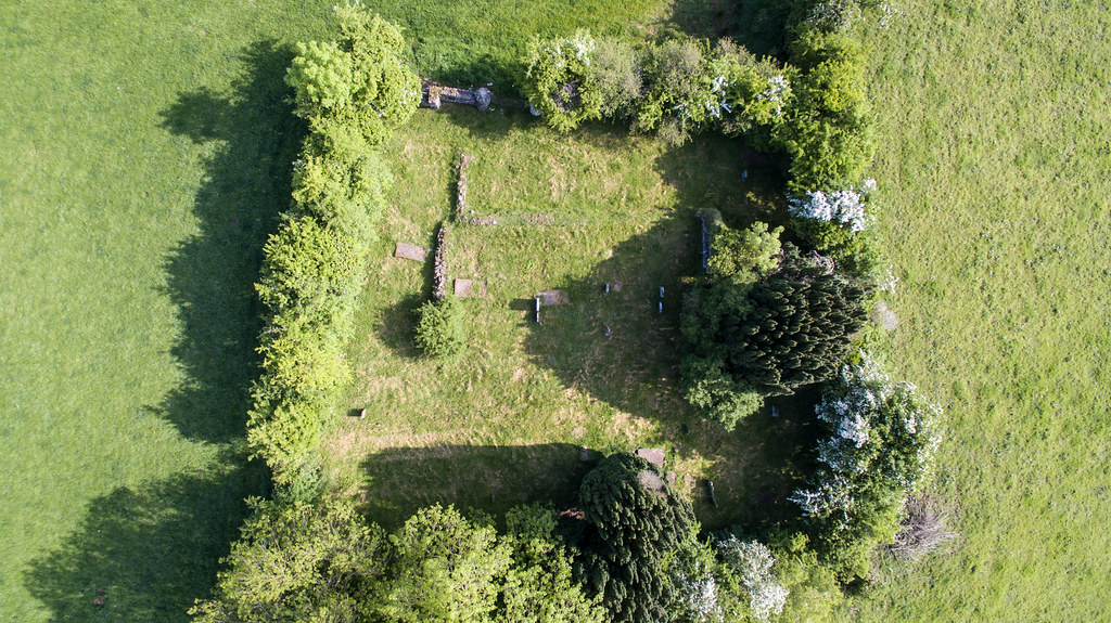
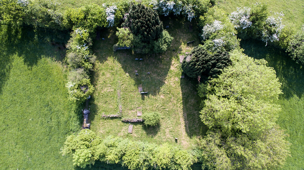
Cranfield Church: Another Angle

Maghera from the Air
Maghera from the Air
Maghera from the Air

Maghera from the Air
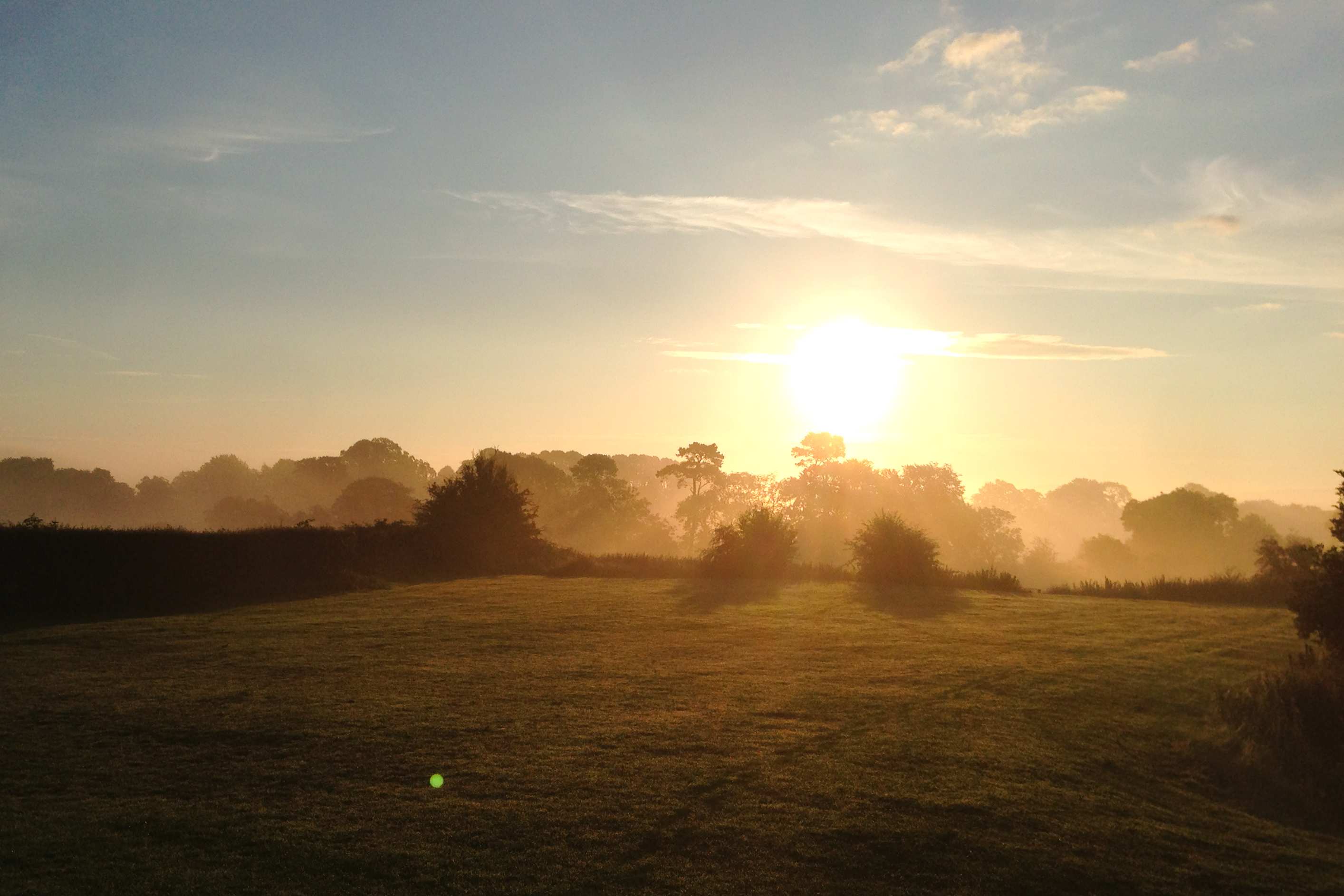
Morning view
Aerial View
Aerial View Crosskeys
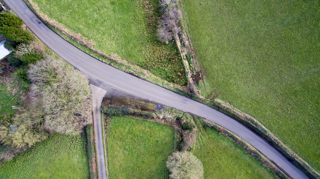
Aerial View Crosskeys
From Slieve Gallion
peek a boo
Bugs life *Explored
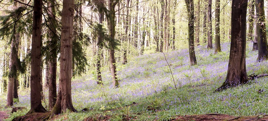
Bluebell Carpet in Portglenone Forest. Northern Ireland.
135/365 *Explored & Dropped
Foggy start *Explored
226/365 *Explored & Dropped
The Grass is...... Purple??
Tess and Chili
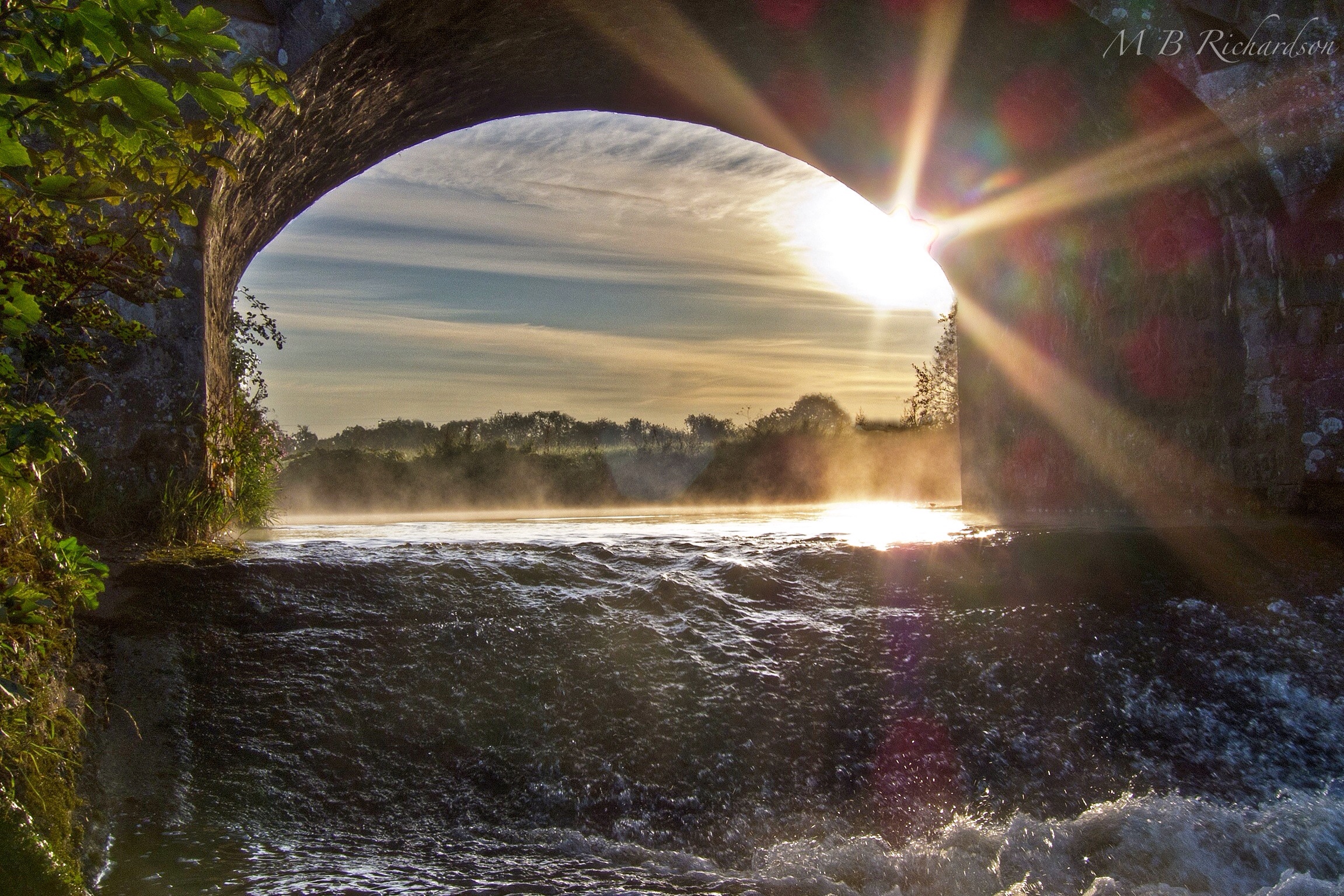
Through the bridge
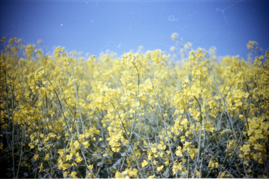
yellow fields

even in black & white the sun can split the trees
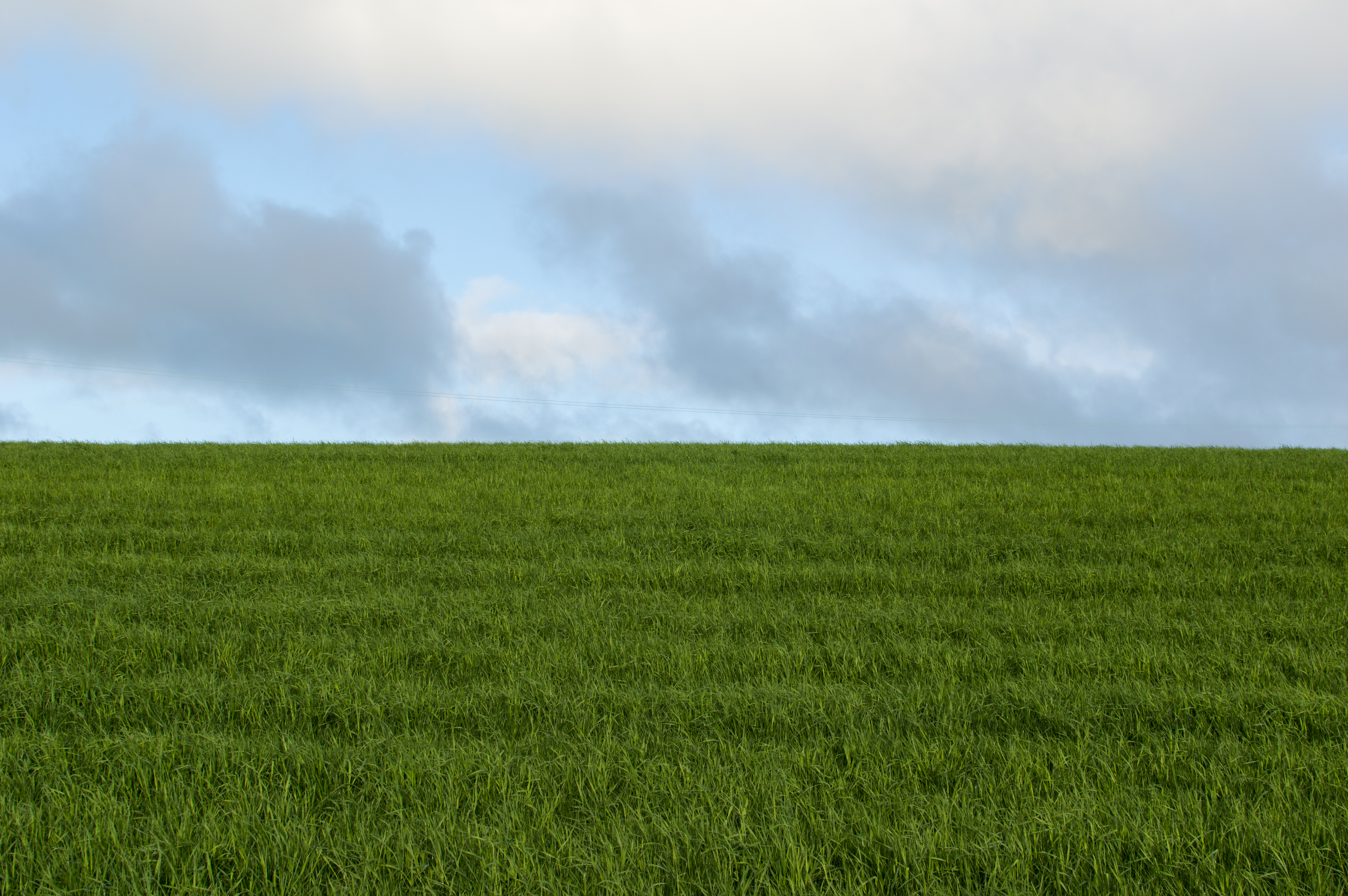
Green & Blue
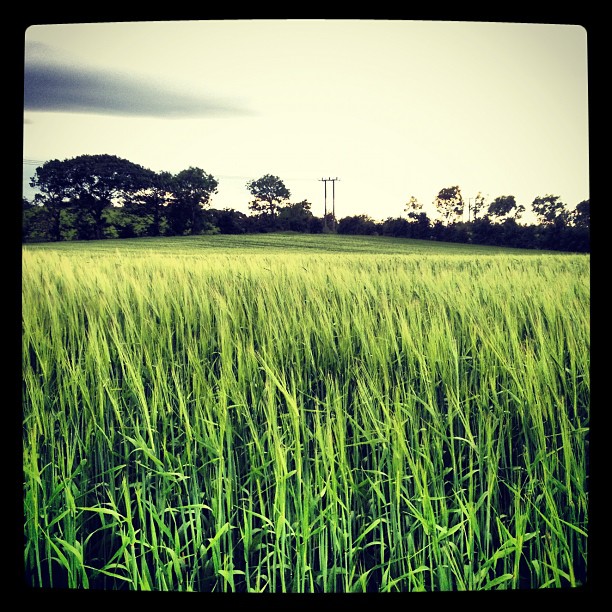
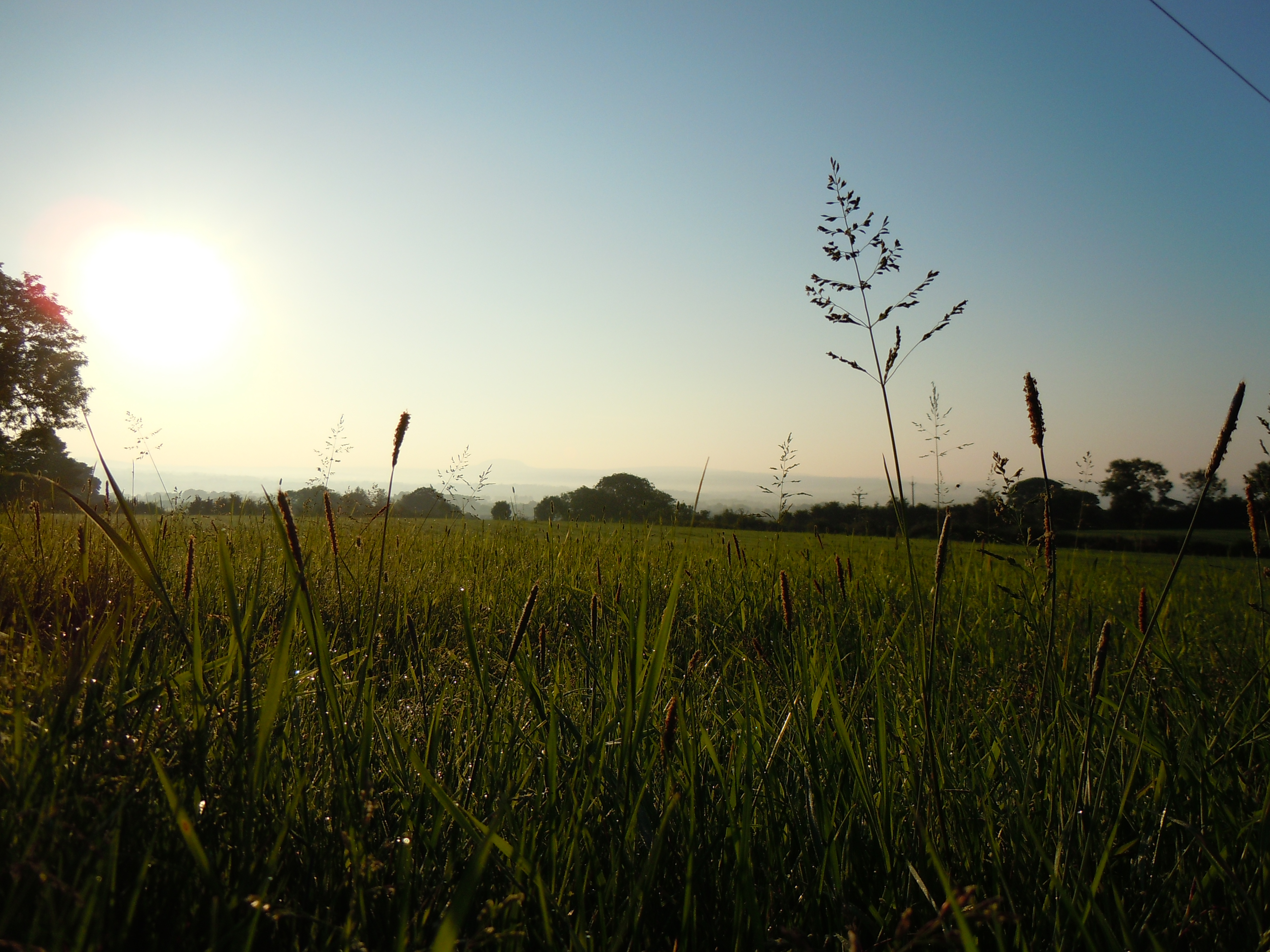
Barley field #barley #field #dogwalking

Barley field this morning #dogwalking #barley #clouds
64/365
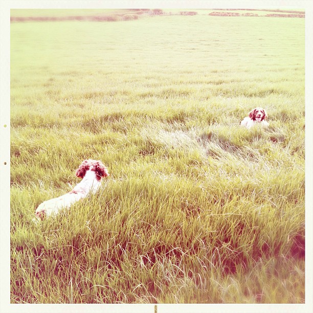
Hot dogs, to warm in the evenings now! #springer #springerspaniel #field

Barley field #barley #dogwalking
Topographic Map of Castledawson, Magherafelt BT45, UK
Find elevation by address:

Places in Castledawson, Magherafelt BT45, UK:
Places near Castledawson, Magherafelt BT45, UK:
Bt45 8dg
25 Derrygarve Rd
Magherafelt
Northern Ireland
Toome
Bt45 7qh
Bt45 7ye
Tullyboy Road
Tullyboy Road
Tullyboy Road
92 Ahoghill Rd
80 Fountain Rd
Cookstown
Lough Neagh
Mid Ulster
Randalstown
35a
Bannfoot
Coalisland
Derrytrasna
Recent Searches:
- Elevation of Corso Fratelli Cairoli, 35, Macerata MC, Italy
- Elevation of Tallevast Rd, Sarasota, FL, USA
- Elevation of 4th St E, Sonoma, CA, USA
- Elevation of Black Hollow Rd, Pennsdale, PA, USA
- Elevation of Oakland Ave, Williamsport, PA, USA
- Elevation of Pedrógão Grande, Portugal
- Elevation of Klee Dr, Martinsburg, WV, USA
- Elevation of Via Roma, Pieranica CR, Italy
- Elevation of Tavkvetili Mountain, Georgia
- Elevation of Hartfords Bluff Cir, Mt Pleasant, SC, USA