Elevation of Drumrot Rd, Moneymore, Magherafelt BT45 7QH, UK
Location: United Kingdom > Northern Ireland > Mid Ulster >
Longitude: -6.6766085
Latitude: 54.6715123
Elevation: 50m / 164feet
Barometric Pressure: 101KPa
Elevation Map:
Satellite Map:
Related Photos:

Snail's View
“Tullyhogue Fort” - Ancient Ceremonial Site

road with a view

Oi!!! Ewe With The Camera!!!

Tullylagan Country House Hotel wedding
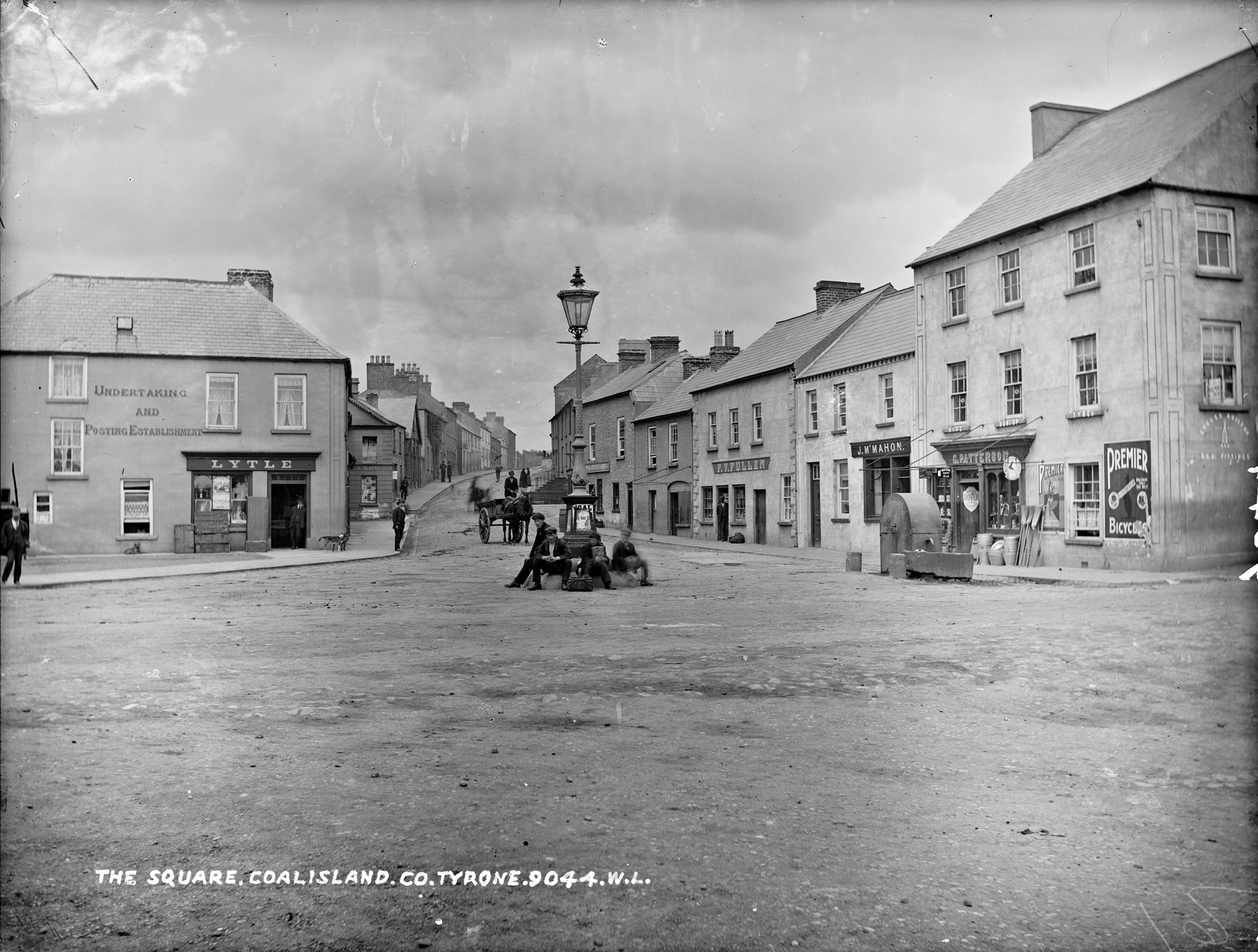
Square, Coalisland, Co. Tyrone
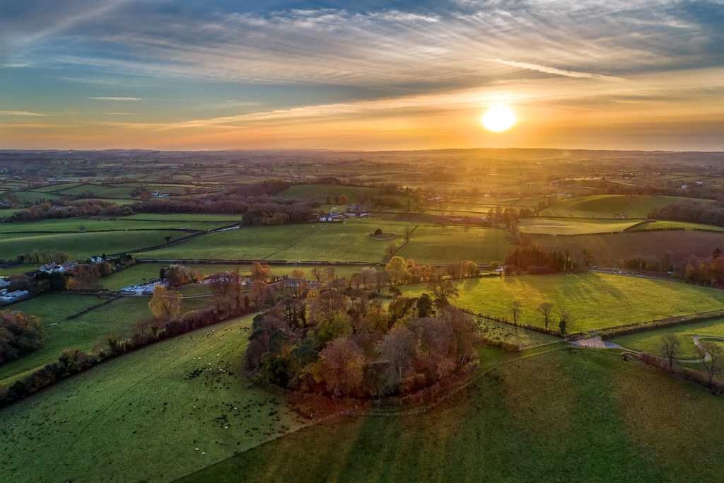
Aerial View
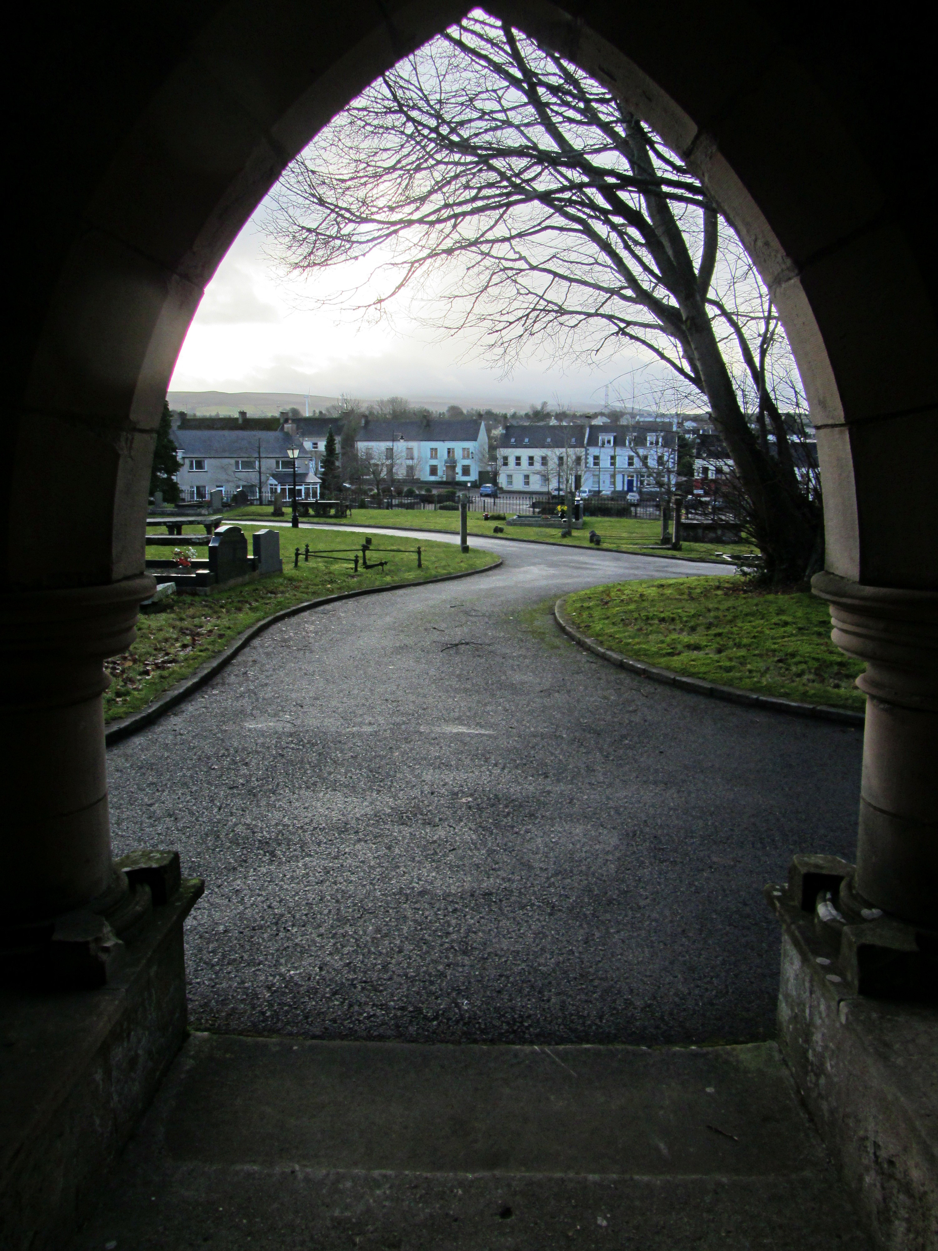
View from the Doorway

Lissan House - Ballroom

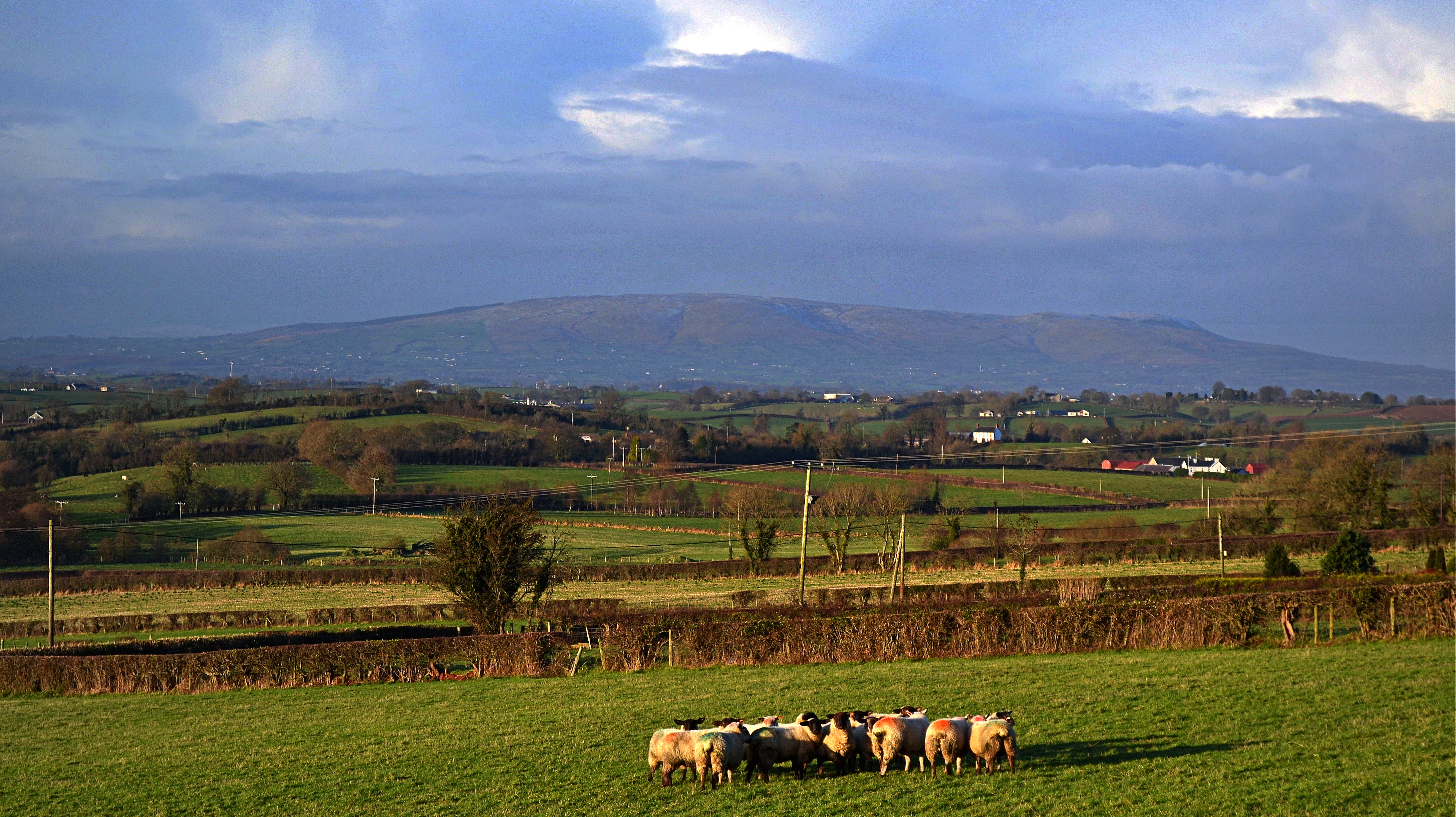
Slieve Gallion
Roughan View

Head-on
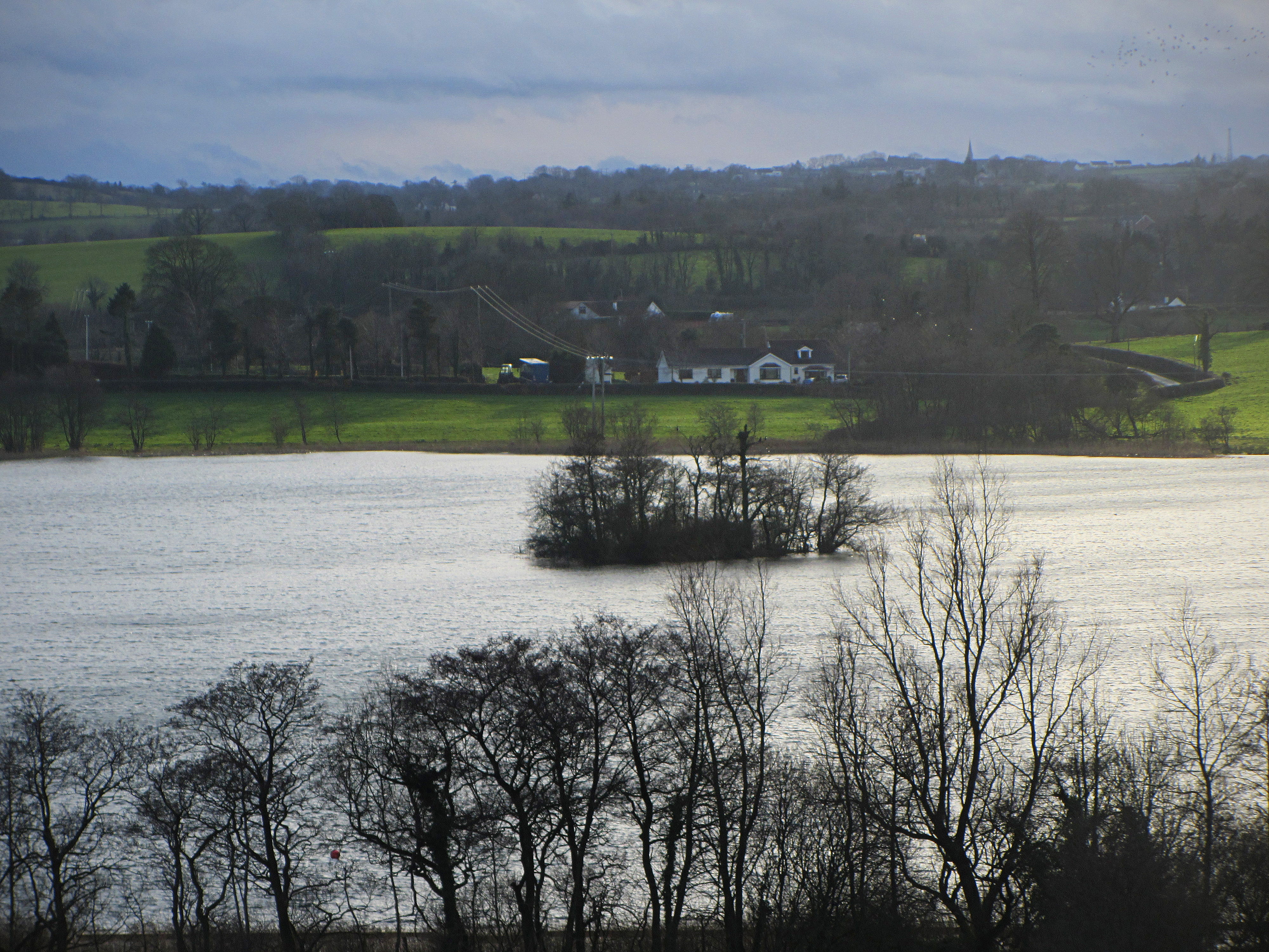
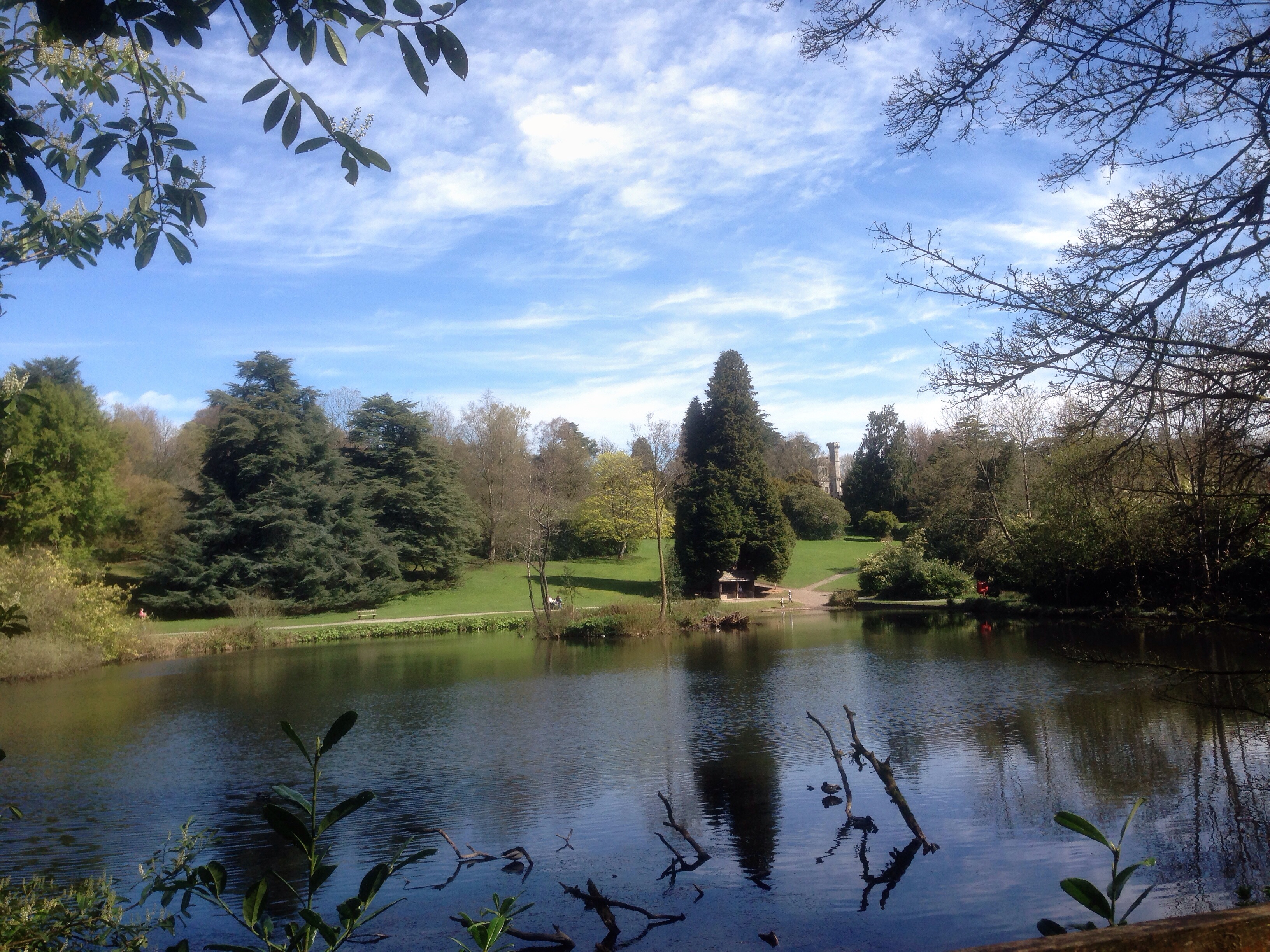
Lough Fea
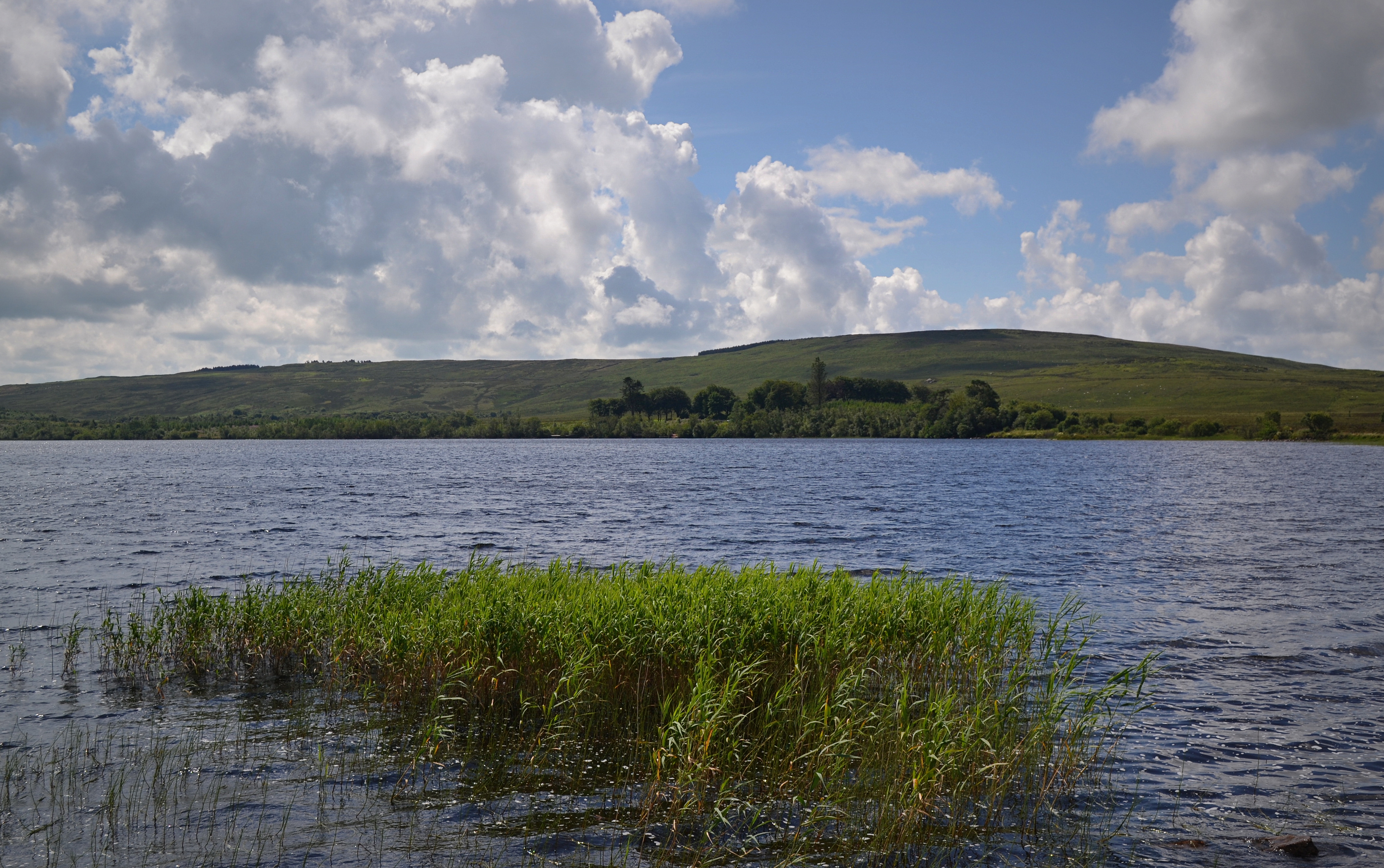
Across the Lough
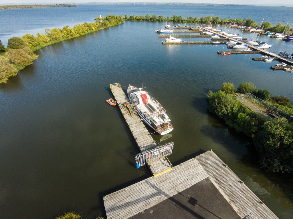
Aerial View of Ballyronan

Tree Wall
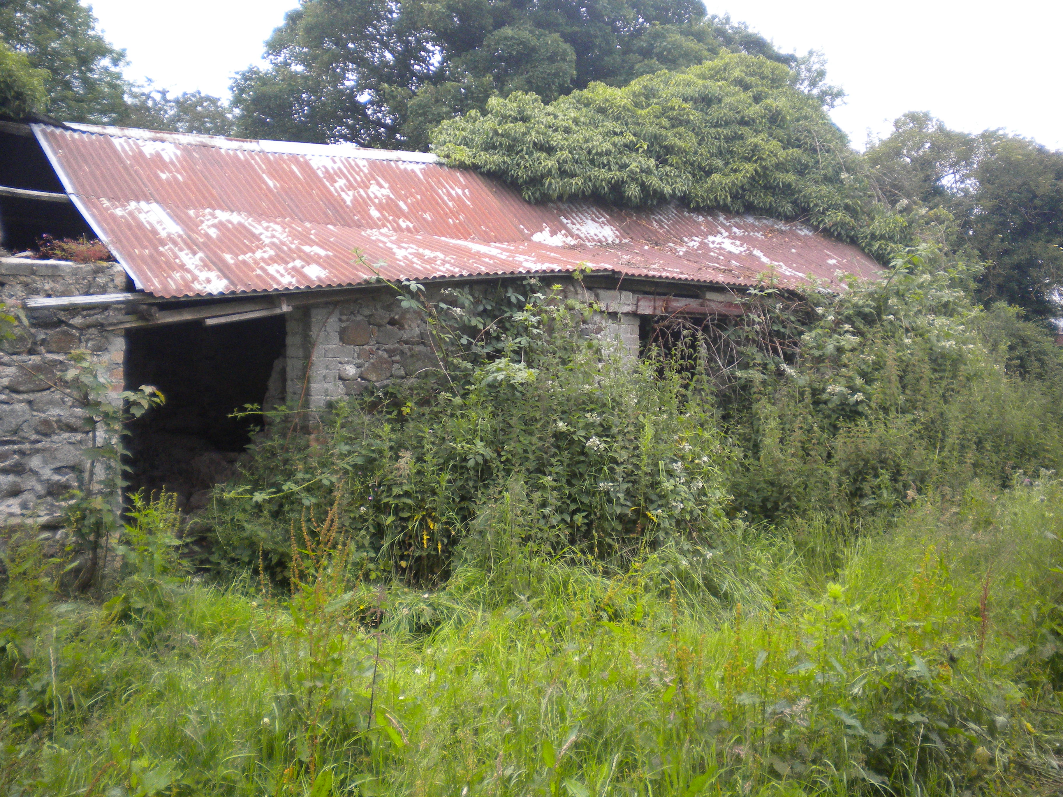
Front view of the old house behind Nan's before weed and ivy clearance
Green Run
View from Slieve Gullion
Across the Fields
From Slieve Gallion

Mirror, Mirror
yellow fields
Evening Paradise
Through the bridge
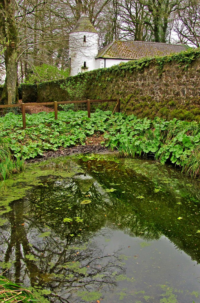
Perspectives pool at Springhill House
Drum Manor forest park Co. Tyrone

sparkling water
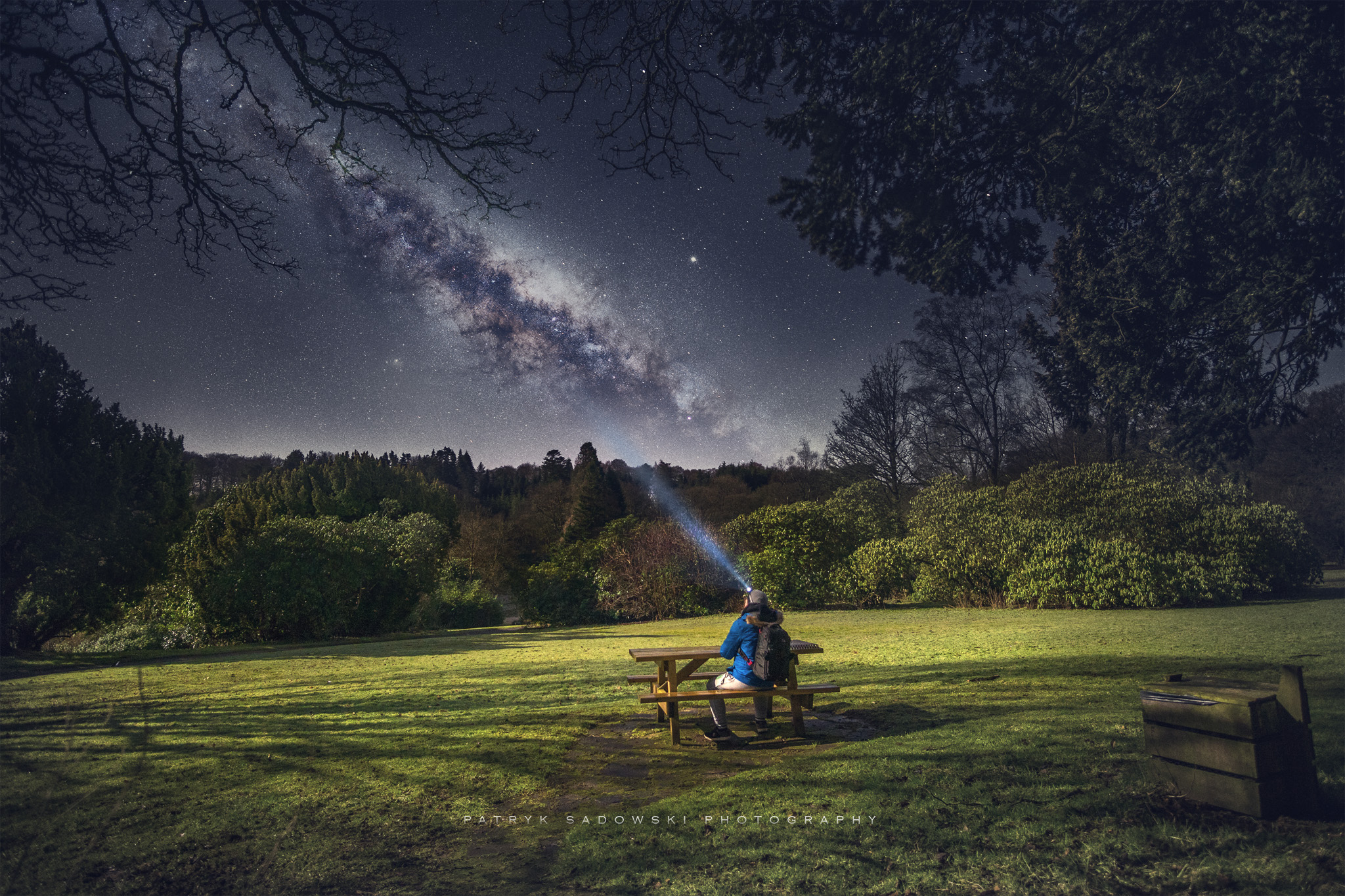
Its a great night for a Picnic!

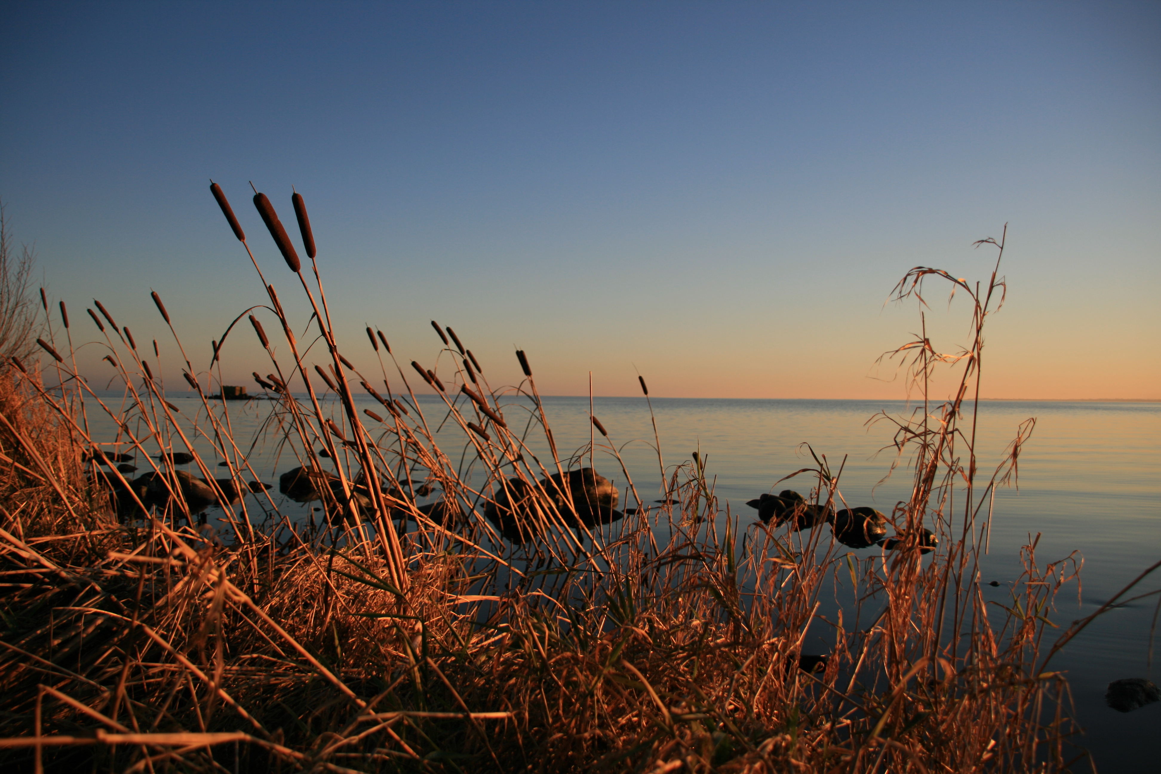
ardboe shores

the second biggest natural harbour in the world, after sydney

2011-12-03--11-23-57-HADIE-13
Christmas Day Cycle
Lough Neagh

Lough Neagh

Sperrins landscape

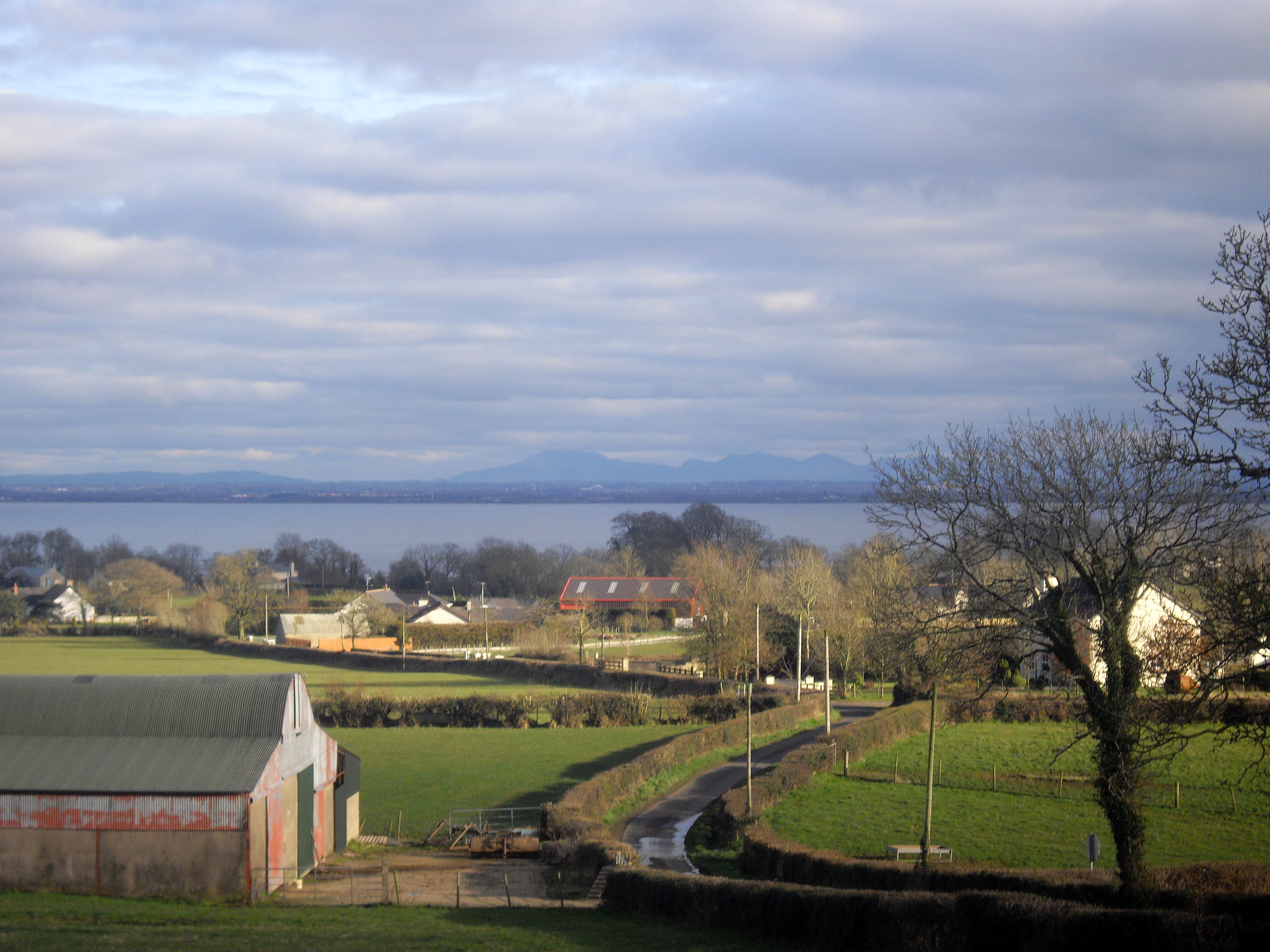
the mournes across lough neagh

Sperrins landscape
Topographic Map of Drumrot Rd, Moneymore, Magherafelt BT45 7QH, UK
Find elevation by address:

Places near Drumrot Rd, Moneymore, Magherafelt BT45 7QH, UK:
Bt45 7ye
Tullyboy Road
Tullyboy Road
Tullyboy Road
80 Fountain Rd
Cookstown
Mid Ulster
Magherafelt
Coalisland
Bt45 8dg
Edendork
Castledawson
25 Derrygarve Rd
Dungannon And South Tyrone
Ring O' Rosies
Moygashel
Bt71 6px
Northern Ireland
Toome
Bannfoot
Recent Searches:
- Elevation of Corso Fratelli Cairoli, 35, Macerata MC, Italy
- Elevation of Tallevast Rd, Sarasota, FL, USA
- Elevation of 4th St E, Sonoma, CA, USA
- Elevation of Black Hollow Rd, Pennsdale, PA, USA
- Elevation of Oakland Ave, Williamsport, PA, USA
- Elevation of Pedrógão Grande, Portugal
- Elevation of Klee Dr, Martinsburg, WV, USA
- Elevation of Via Roma, Pieranica CR, Italy
- Elevation of Tavkvetili Mountain, Georgia
- Elevation of Hartfords Bluff Cir, Mt Pleasant, SC, USA