Elevation of Tulare, Serbia
Location: Serbia > Jablanica District >
Longitude: 21.4621317
Latitude: 42.7941418
Elevation: 536m / 1759feet
Barometric Pressure: 95KPa
Elevation Map:
Satellite Map:
Related Photos:
Sunset over the lake
Soon.
Kalaticë
2010-07-17_130535

2010-07-17_130825
2010-07-17_144829

2010-07-17_130525

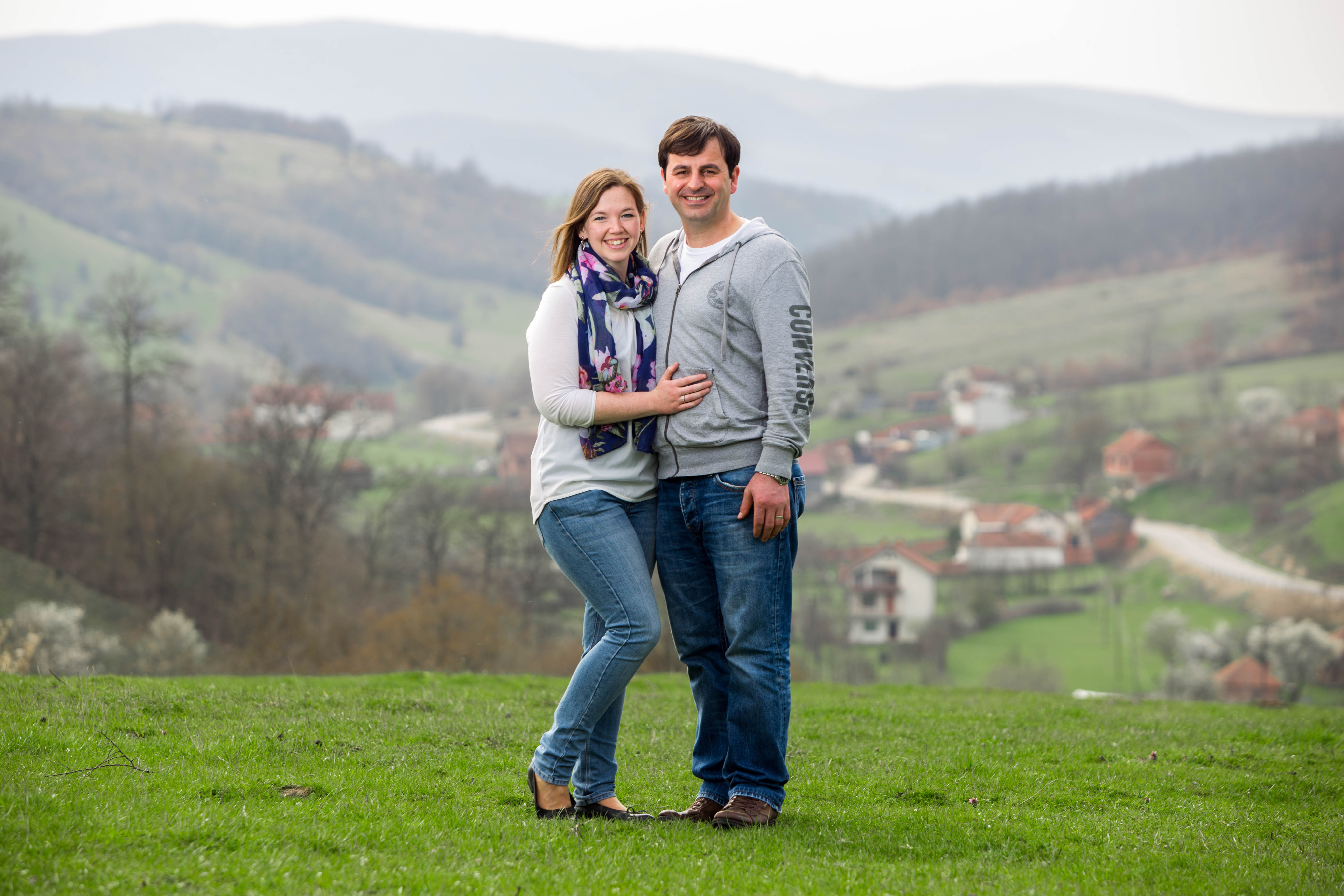
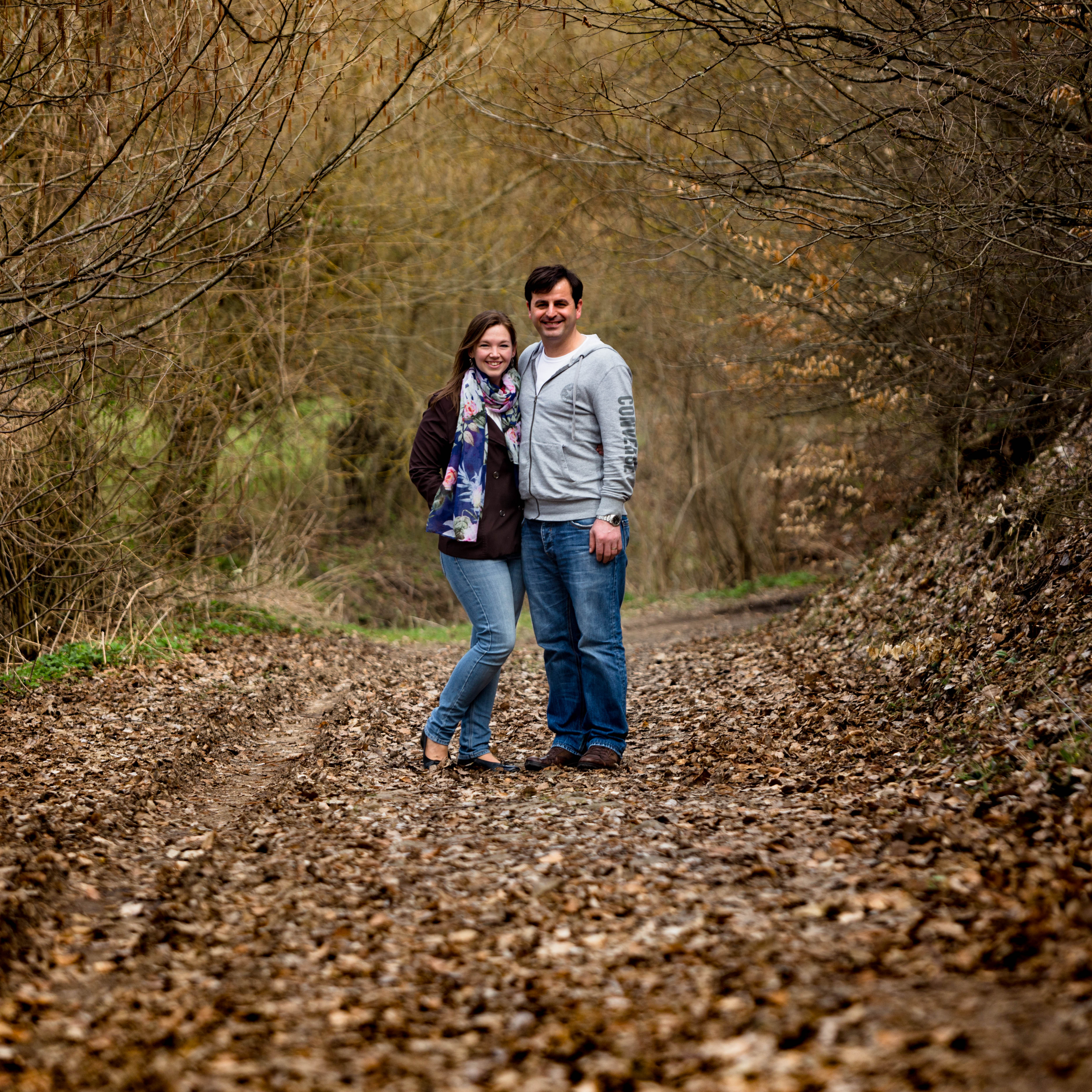
Katie & Nathan at Adriatiku

The road well traveled

Orllan Valley
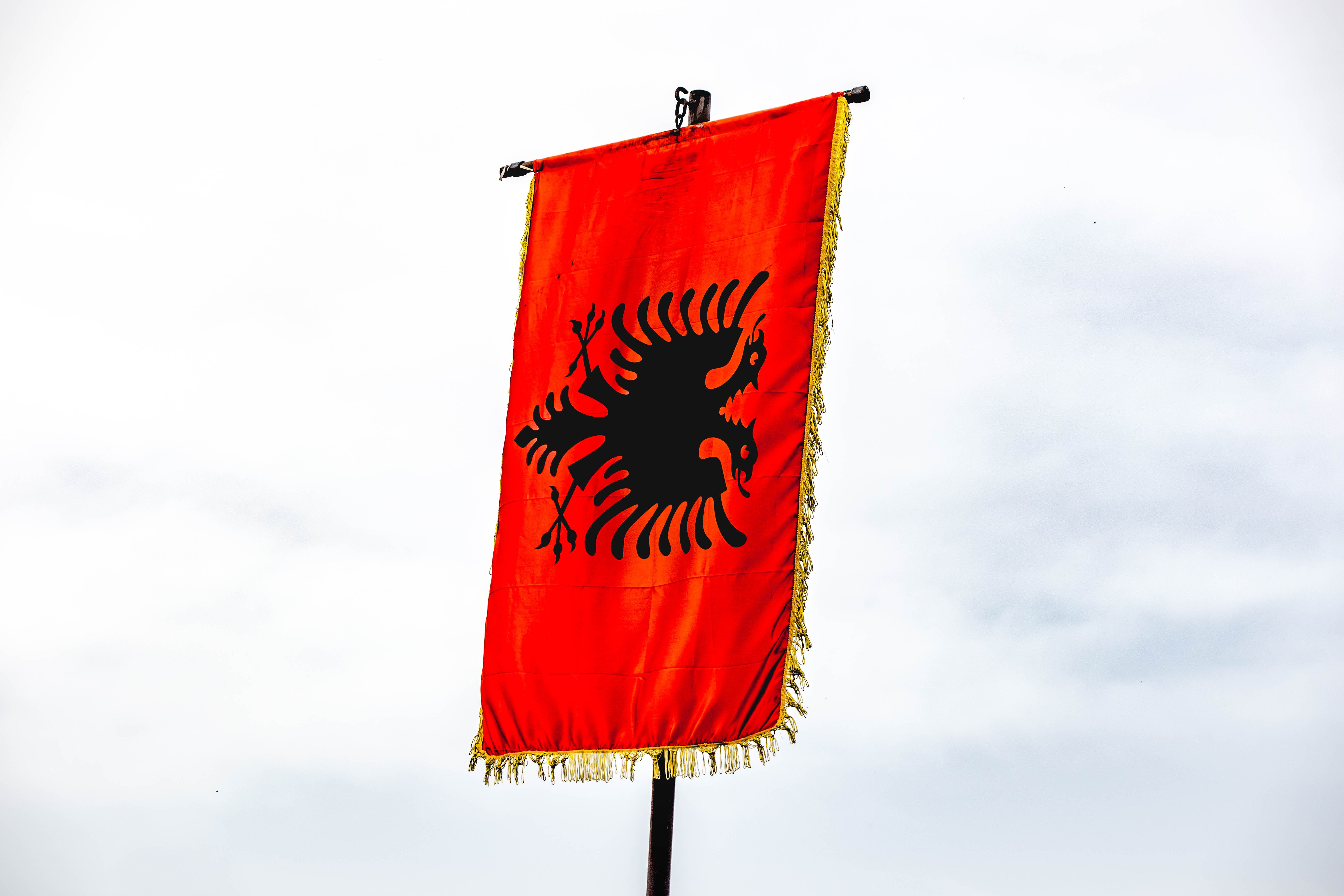
Albanian Flag

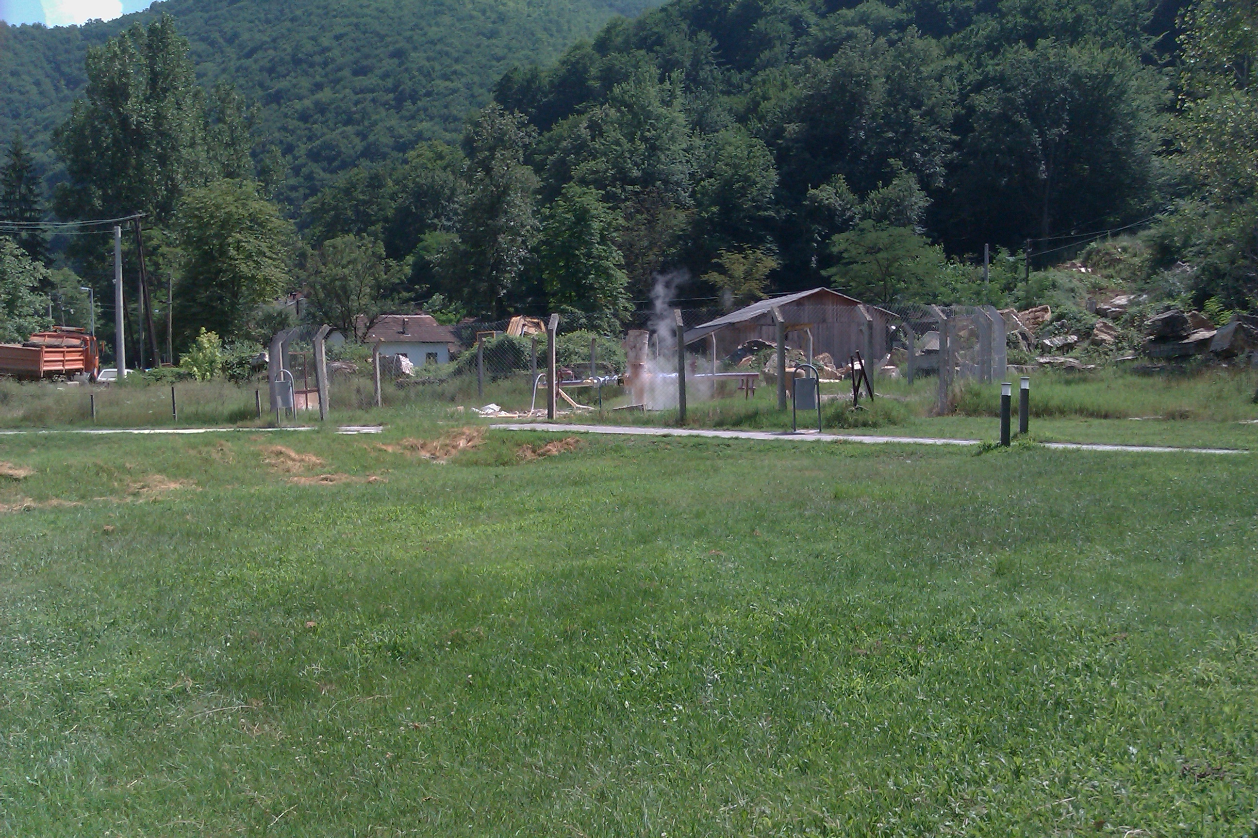
Serbia.

J&S and piles of hay

Katie in the valley
T&L overlooking Kalaticë

J&S overlooking Kalaticë
J&S overlooking Kalaticë
T&L on a stone road

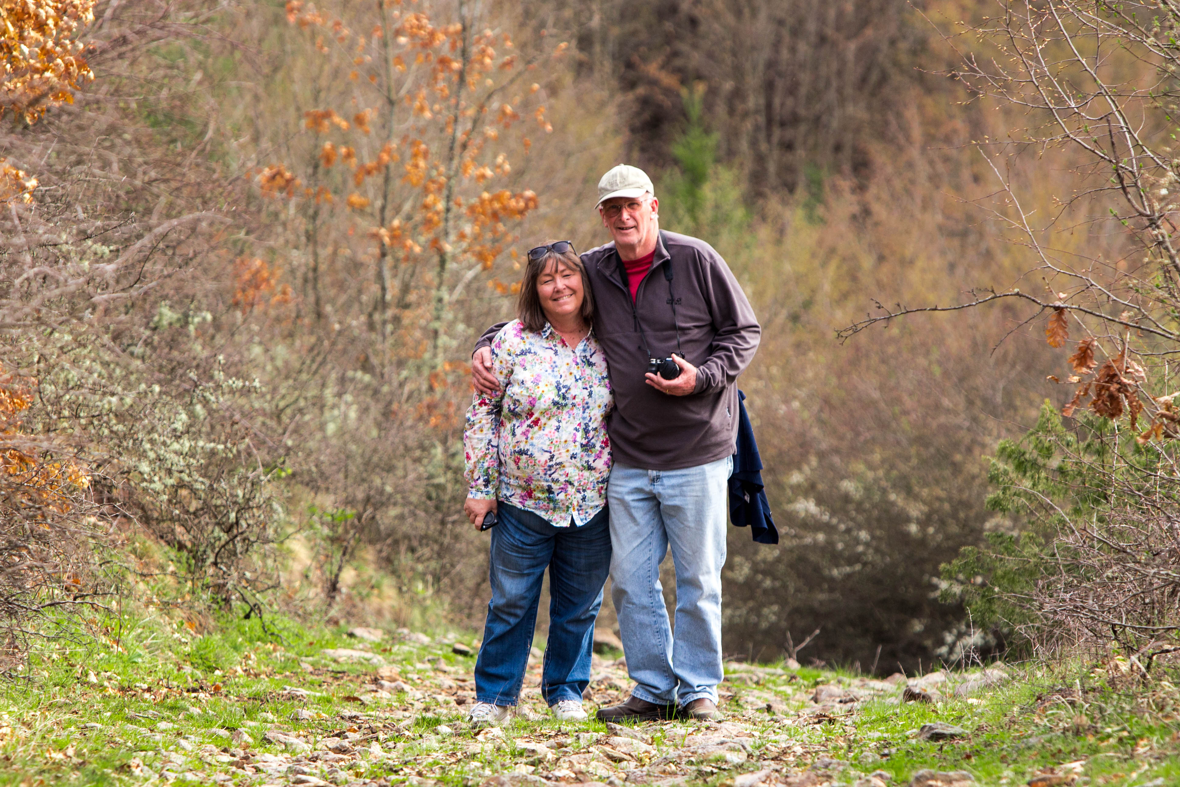
J&S in the woods
J&S in the woods Square

Skender's childhood home

This reflects well on me
Topographic Map of Tulare, Serbia
Find elevation by address:

Places near Tulare, Serbia:
Novo Brdo
Unnamed Road
Đake
Gnjilane District
Besianë
Royal Green Residences
Prishtina
Gjilan
Ranillug
Gračanica
Hodonoc
Pristina Bus Station
Kalabria
Jablanica District
Kuršumlija
Toplica District
Klokot
Vranje
Presevo
Leskovac
Recent Searches:
- Elevation of Corso Fratelli Cairoli, 35, Macerata MC, Italy
- Elevation of Tallevast Rd, Sarasota, FL, USA
- Elevation of 4th St E, Sonoma, CA, USA
- Elevation of Black Hollow Rd, Pennsdale, PA, USA
- Elevation of Oakland Ave, Williamsport, PA, USA
- Elevation of Pedrógão Grande, Portugal
- Elevation of Klee Dr, Martinsburg, WV, USA
- Elevation of Via Roma, Pieranica CR, Italy
- Elevation of Tavkvetili Mountain, Georgia
- Elevation of Hartfords Bluff Cir, Mt Pleasant, SC, USA