Elevation of Kuršumlija, Serbia
Location: Serbia > Toplica District >
Longitude: 21.2734409
Latitude: 43.1405124
Elevation: 352m / 1155feet
Barometric Pressure: 97KPa
Elevation Map:
Satellite Map:
Related Photos:

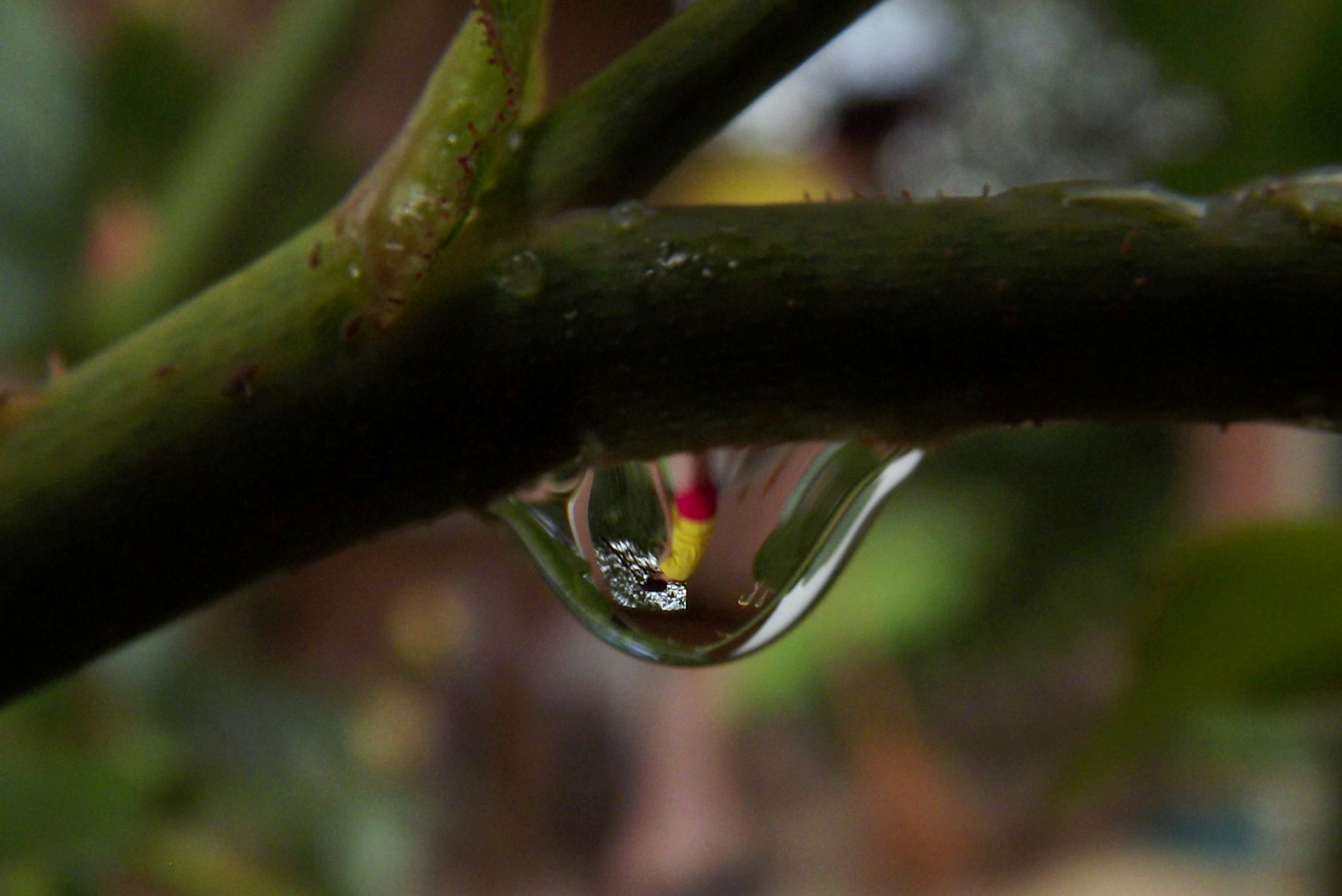
iPhone 5s no edit

iPhone 5s, Auto-Enhance u telefonu

Somewhere #overtheroad #nevada #usa #roadtrip #sony #sonyrx100 #signs #totem
After rain

pauza i gorivo
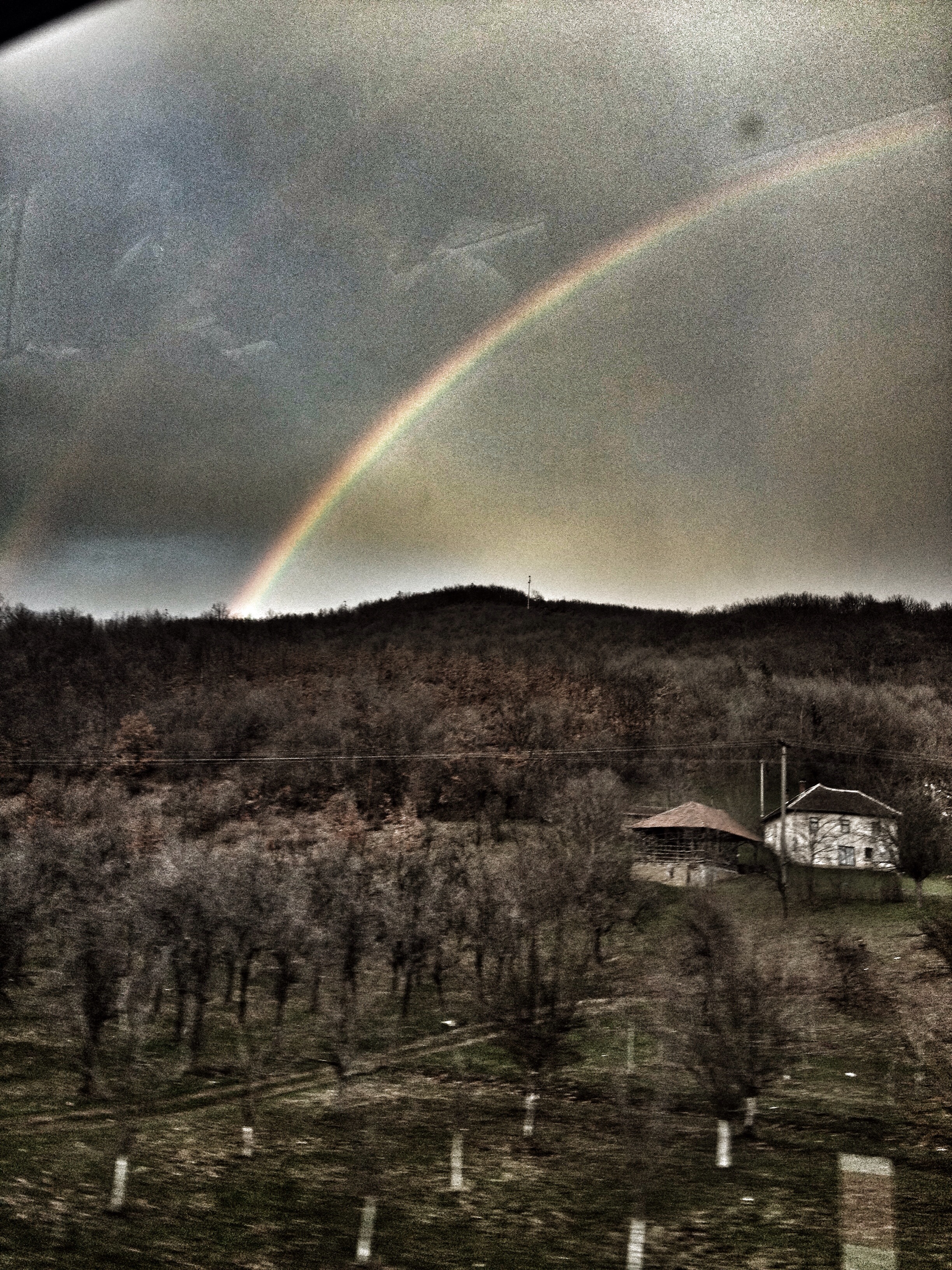
2014-11-06_03-04-51
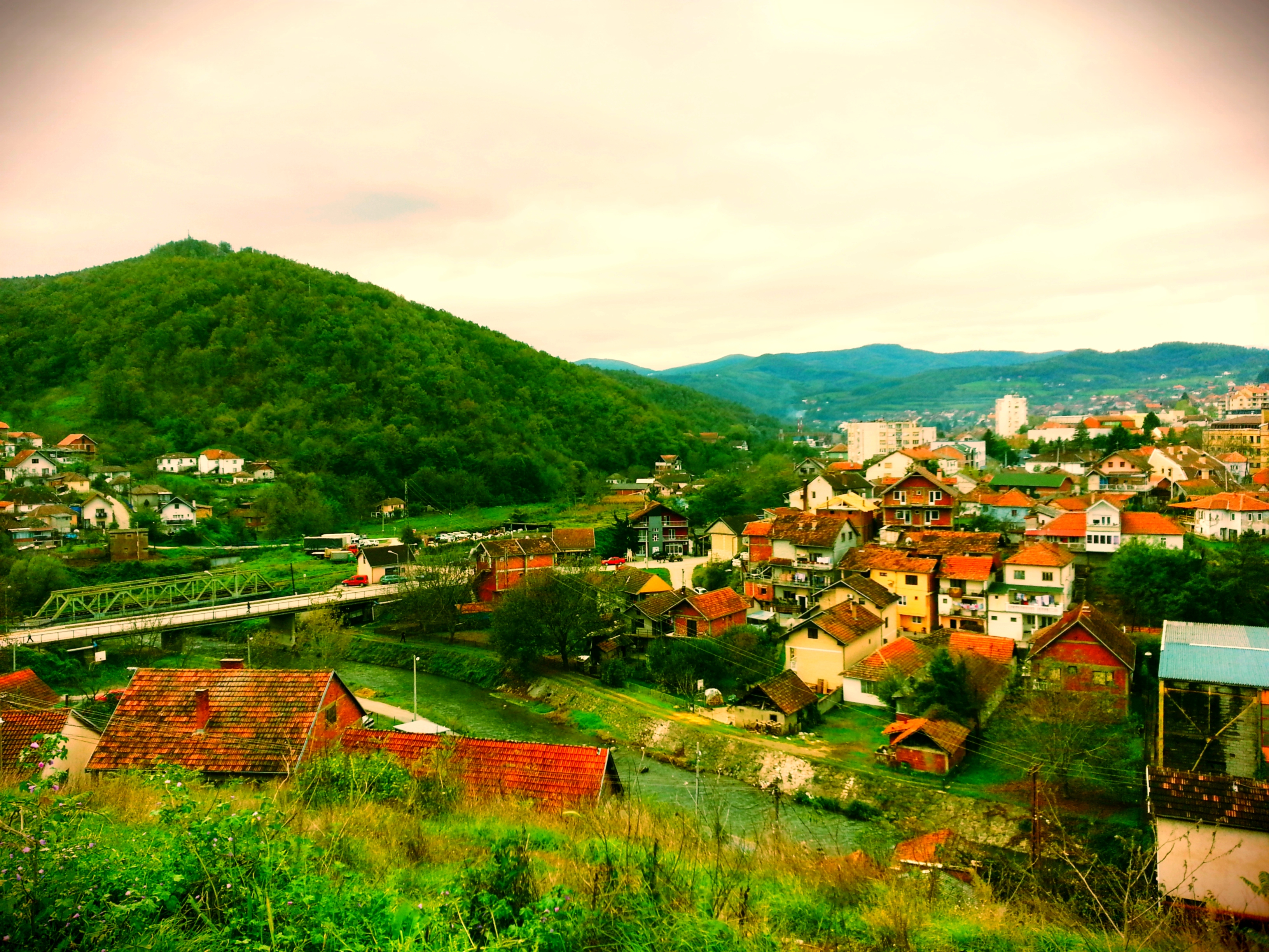
2014-11-04_11-12-45

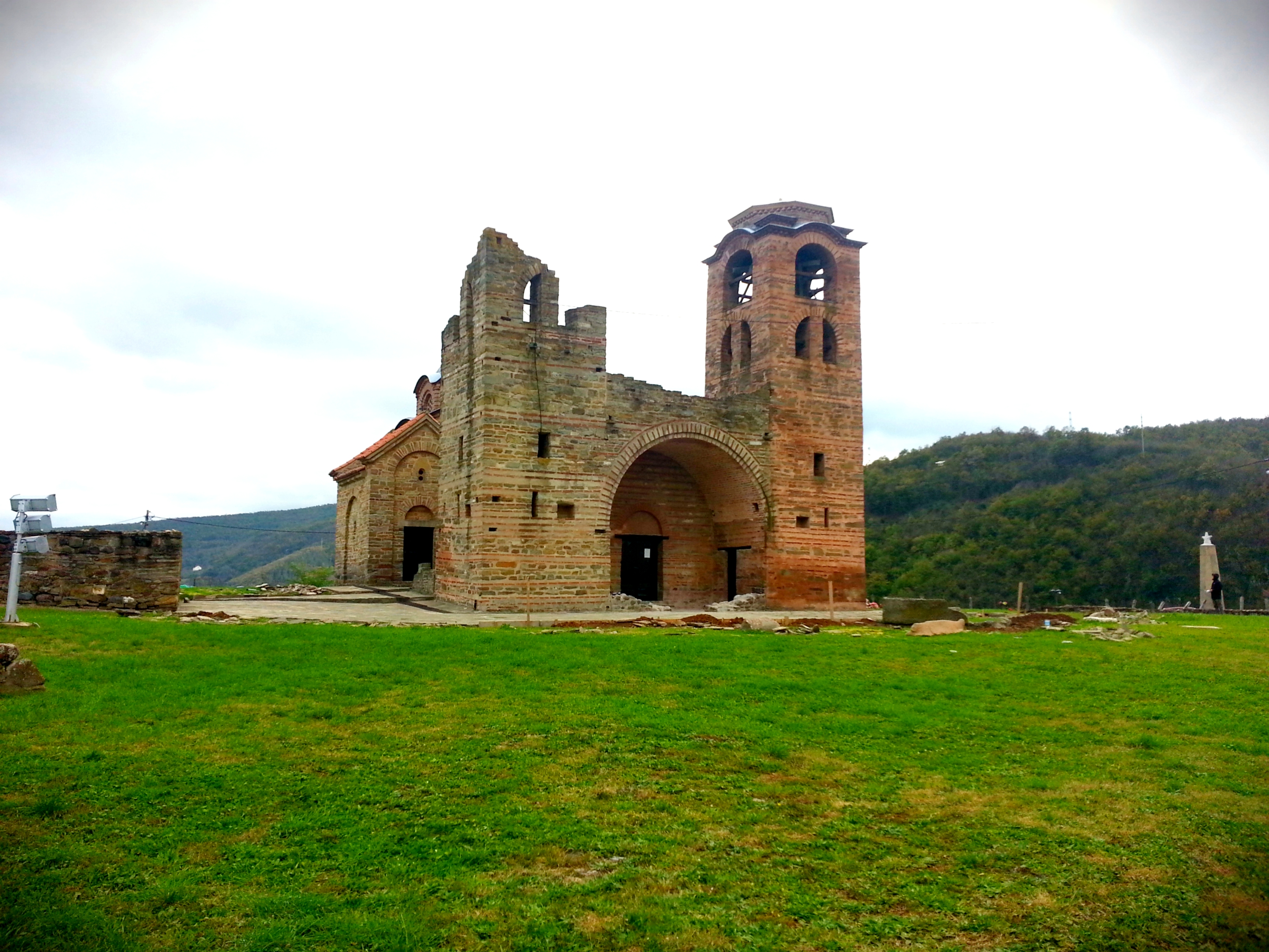
28.09.13 Kuršumlija 711.013
Day 148
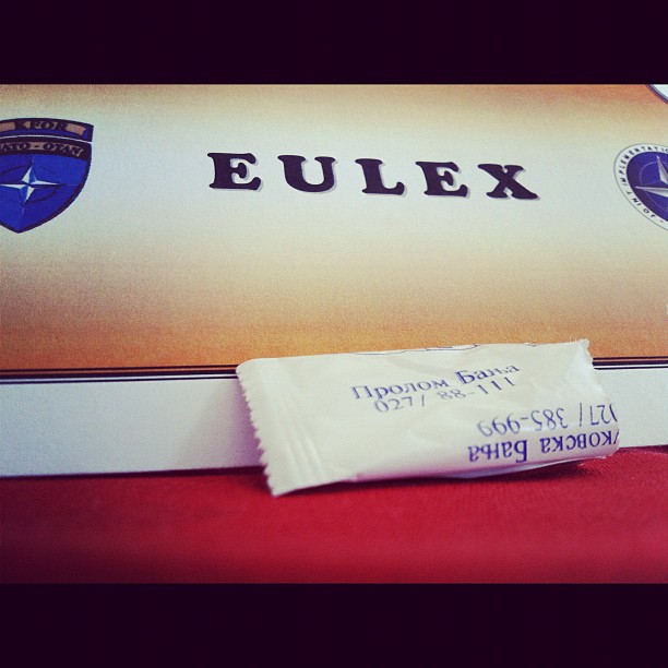
Prolom banja
Topographic Map of Kuršumlija, Serbia
Find elevation by address:

Places near Kuršumlija, Serbia:
Toplica District
Đake
Unnamed Road
Besianë
Tulare
Rasina
Prishtina
Royal Green Residences
Pristina Bus Station
Kalabria
Gračanica
Novo Brdo
Jablanica District
Niš
Gnjilane District
Bulevar Nemanjića
Leskovac
Nišava District
Gjilan
Ranillug
Recent Searches:
- Elevation of Corso Fratelli Cairoli, 35, Macerata MC, Italy
- Elevation of Tallevast Rd, Sarasota, FL, USA
- Elevation of 4th St E, Sonoma, CA, USA
- Elevation of Black Hollow Rd, Pennsdale, PA, USA
- Elevation of Oakland Ave, Williamsport, PA, USA
- Elevation of Pedrógão Grande, Portugal
- Elevation of Klee Dr, Martinsburg, WV, USA
- Elevation of Via Roma, Pieranica CR, Italy
- Elevation of Tavkvetili Mountain, Georgia
- Elevation of Hartfords Bluff Cir, Mt Pleasant, SC, USA