Elevation of Presevo, Serbia
Location: Serbia > Pčinja District >
Longitude: 21.6498686
Latitude: 42.3091712
Elevation: 508m / 1667feet
Barometric Pressure: 95KPa
Elevation Map:
Satellite Map:
Related Photos:

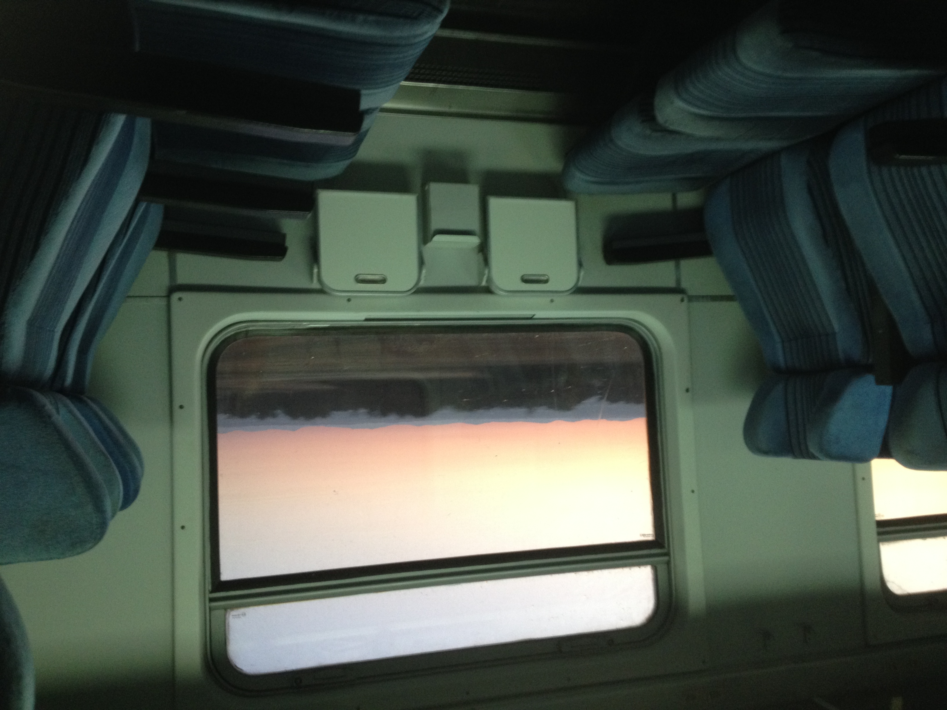
Train view

SRB_E75 (A1)

Road to the unknown

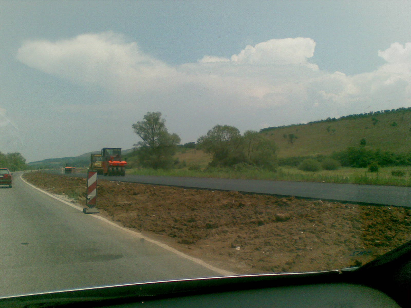
SRB_E75 (A1)

Σερβια P1290893

Serbia - 1979(3)

444-021

shadow journey

01072009(009)_NLT
01072009(008)_NLT

01072009(007)_NLT

01072009(006)_NLT

01072009(005)_NLT

Day 3: “Spiritual Awakening” – A Pilgrimage to Orthodox Thessaloniki, Kosovo and Serbia

Day 3: “Spiritual Awakening” – A Pilgrimage to Orthodox Thessaloniki, Kosovo and Serbia

Srpski patrijarh Varnava u Preševu
2016-07-22-04-57-16 - IMG_5371

The "Demon" of Kumanovo

Leaving Serbia...

Serbian - FYROM borders...

Leaving Serbia...

I love cats
Topographic Map of Presevo, Serbia
Find elevation by address:

Places near Presevo, Serbia:
Norča
Ranillug
Hodonoc
Gjilan
Gnjilane District
Klokot
Vranje
Novo Brdo
Kacanik
Germanski Rid
Uroshevac
Tulare
Gračanica
Royal Green Residences
Pčinja District
Prishtina
Kalabria
Pristina Bus Station
Jablanica District
Unnamed Road
Recent Searches:
- Elevation of Corso Fratelli Cairoli, 35, Macerata MC, Italy
- Elevation of Tallevast Rd, Sarasota, FL, USA
- Elevation of 4th St E, Sonoma, CA, USA
- Elevation of Black Hollow Rd, Pennsdale, PA, USA
- Elevation of Oakland Ave, Williamsport, PA, USA
- Elevation of Pedrógão Grande, Portugal
- Elevation of Klee Dr, Martinsburg, WV, USA
- Elevation of Via Roma, Pieranica CR, Italy
- Elevation of Tavkvetili Mountain, Georgia
- Elevation of Hartfords Bluff Cir, Mt Pleasant, SC, USA