Elevation of Trans-Canada Hwy, Parry Sound, Unorganized, Centre Part, ON P0G, Canada
Location: Canada > Ontario > Parry Sound District > Parry Sound, Unorganized, Centre Part >
Longitude: -80.46666
Latitude: 45.7184655
Elevation: 199m / 653feet
Barometric Pressure: 99KPa
Elevation Map:
Satellite Map:
Related Photos:
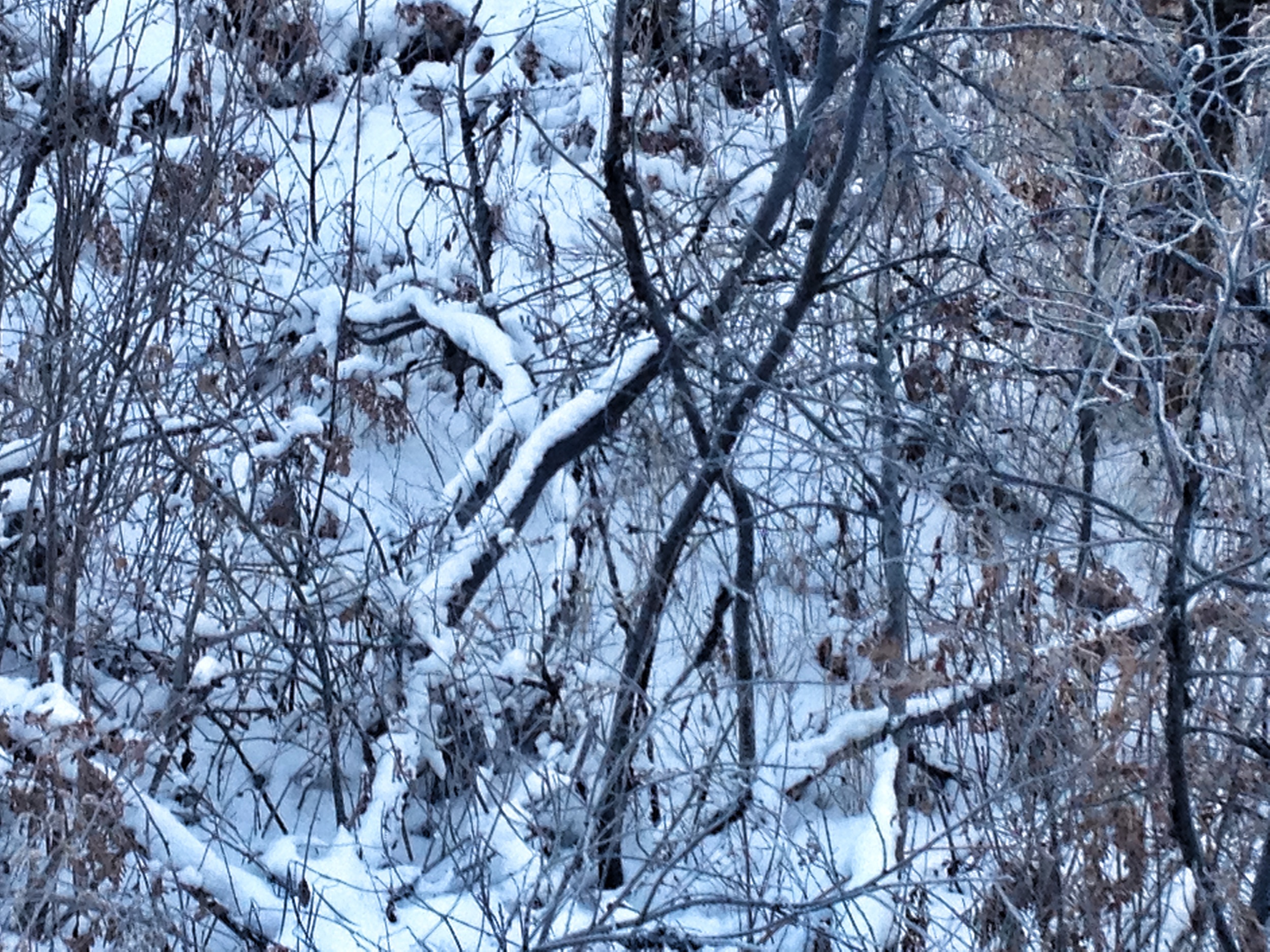
Ontario view from train
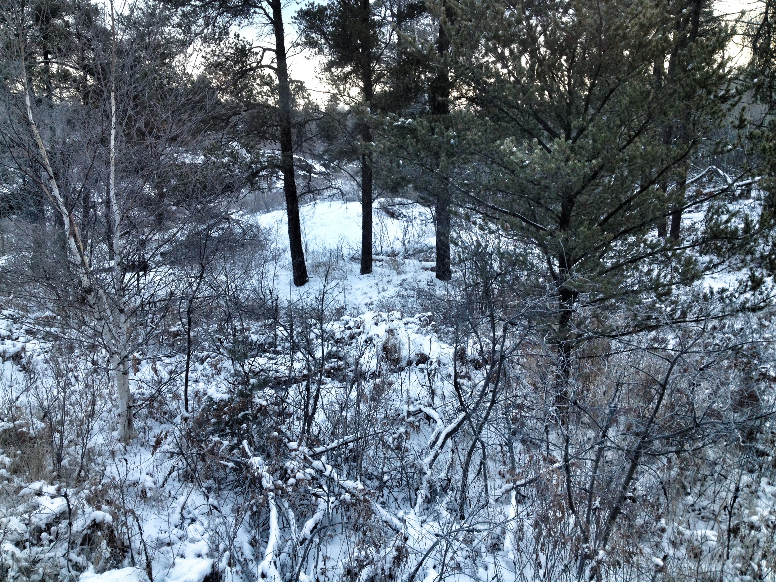
Ontario view from train
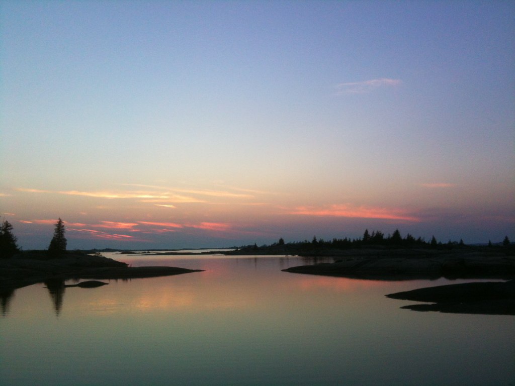
Canadian Shield sunset
Spending the weekend in Heaven...aka Bekanon.
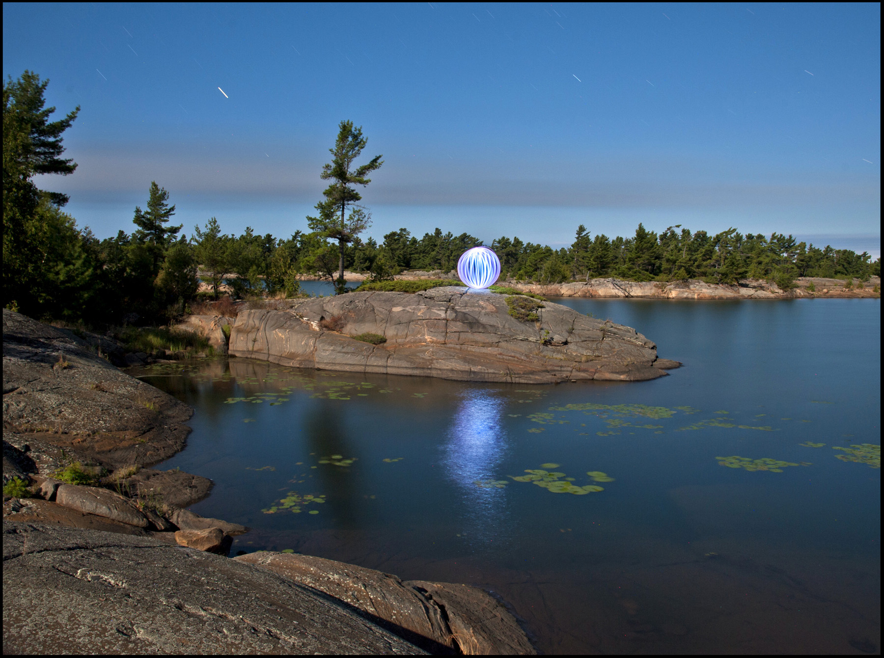
Dawn On Danny Island
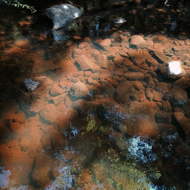
Harris Lake
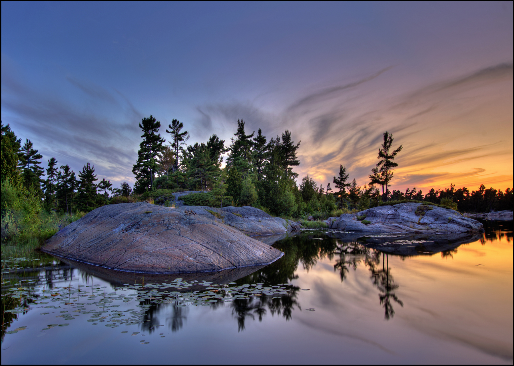
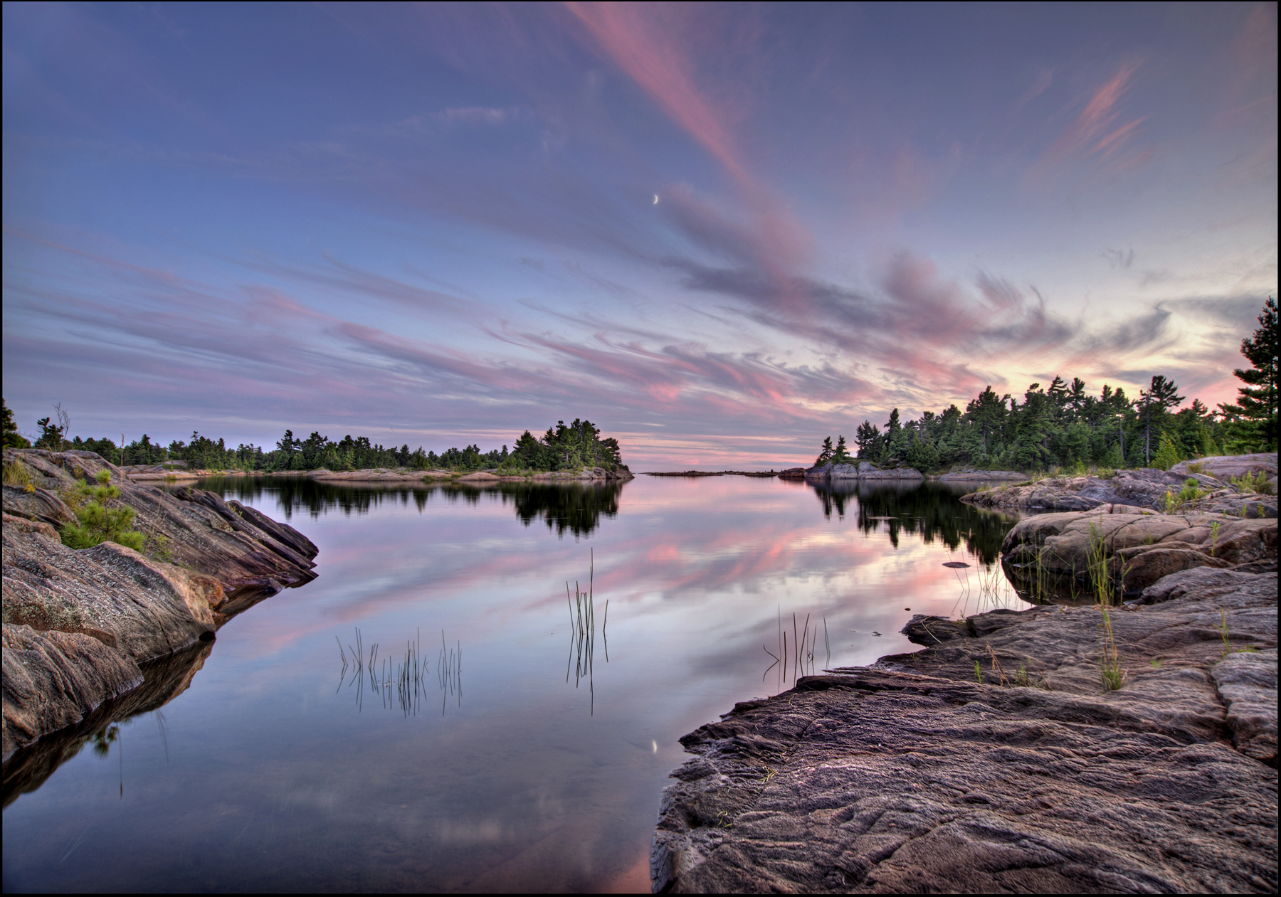
Days End
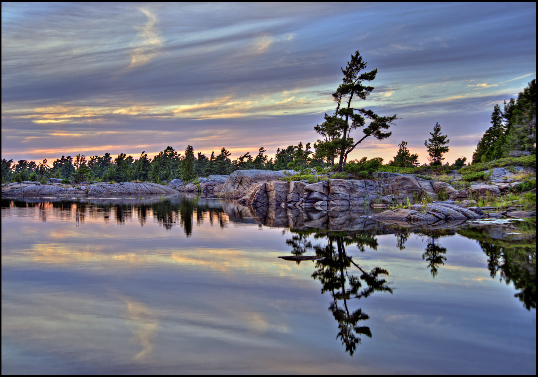
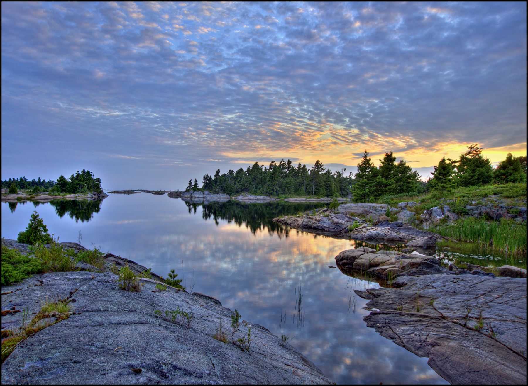
Calm Waters
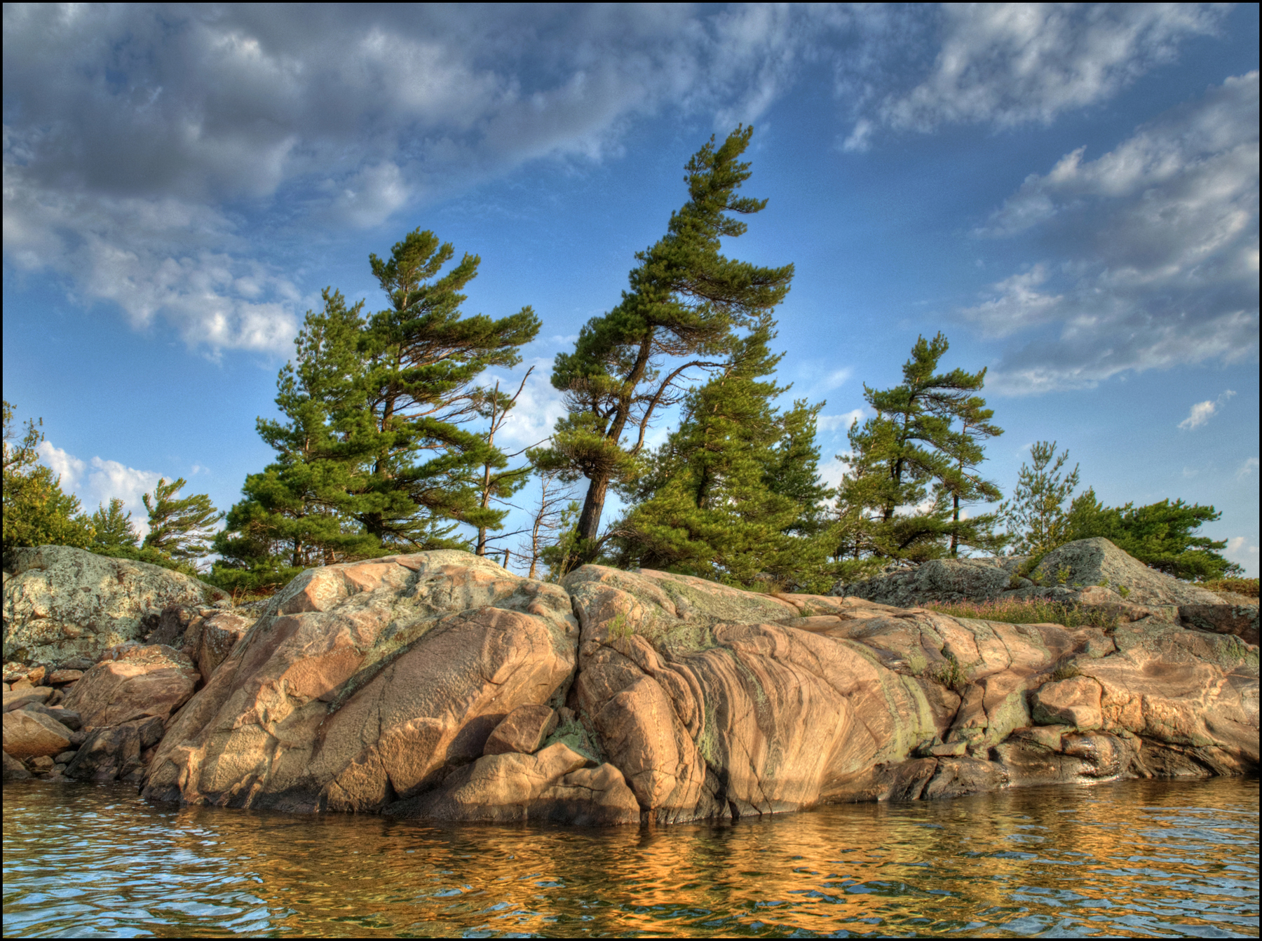
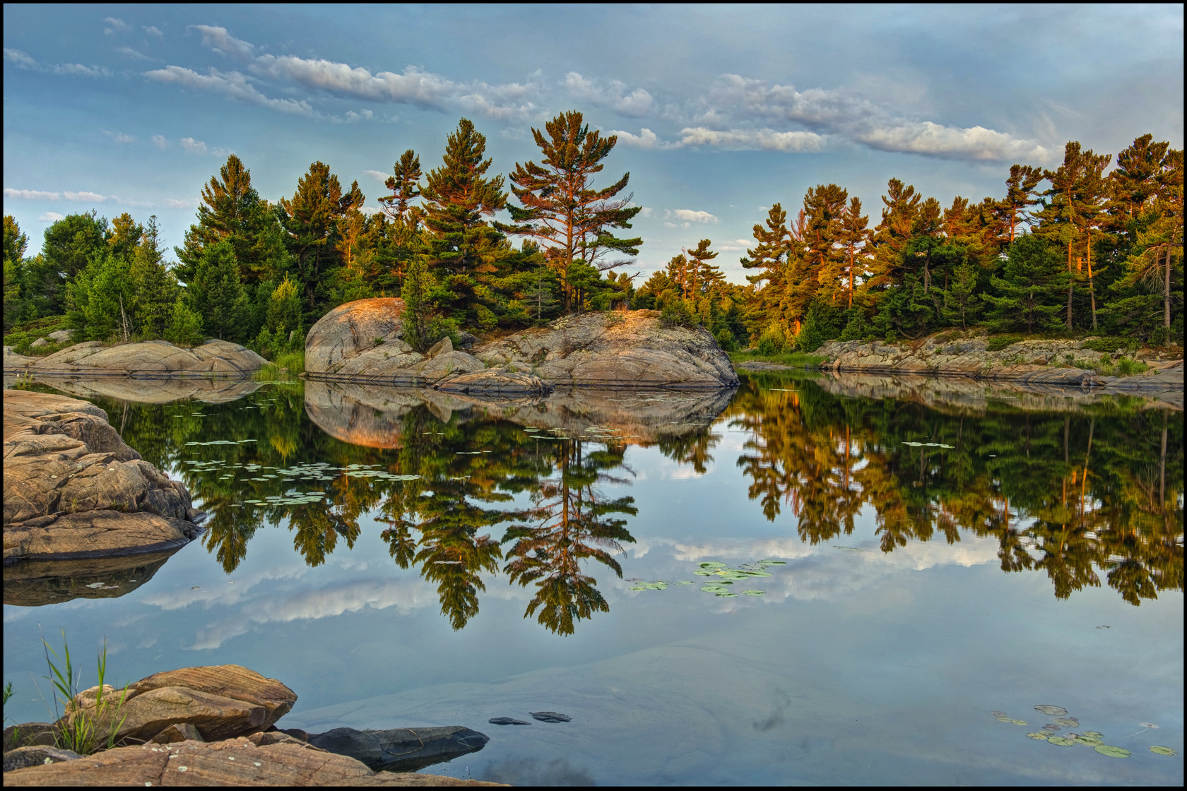
Wind In The Pines
Bayview Moon

Jumping In
Liquid Sky
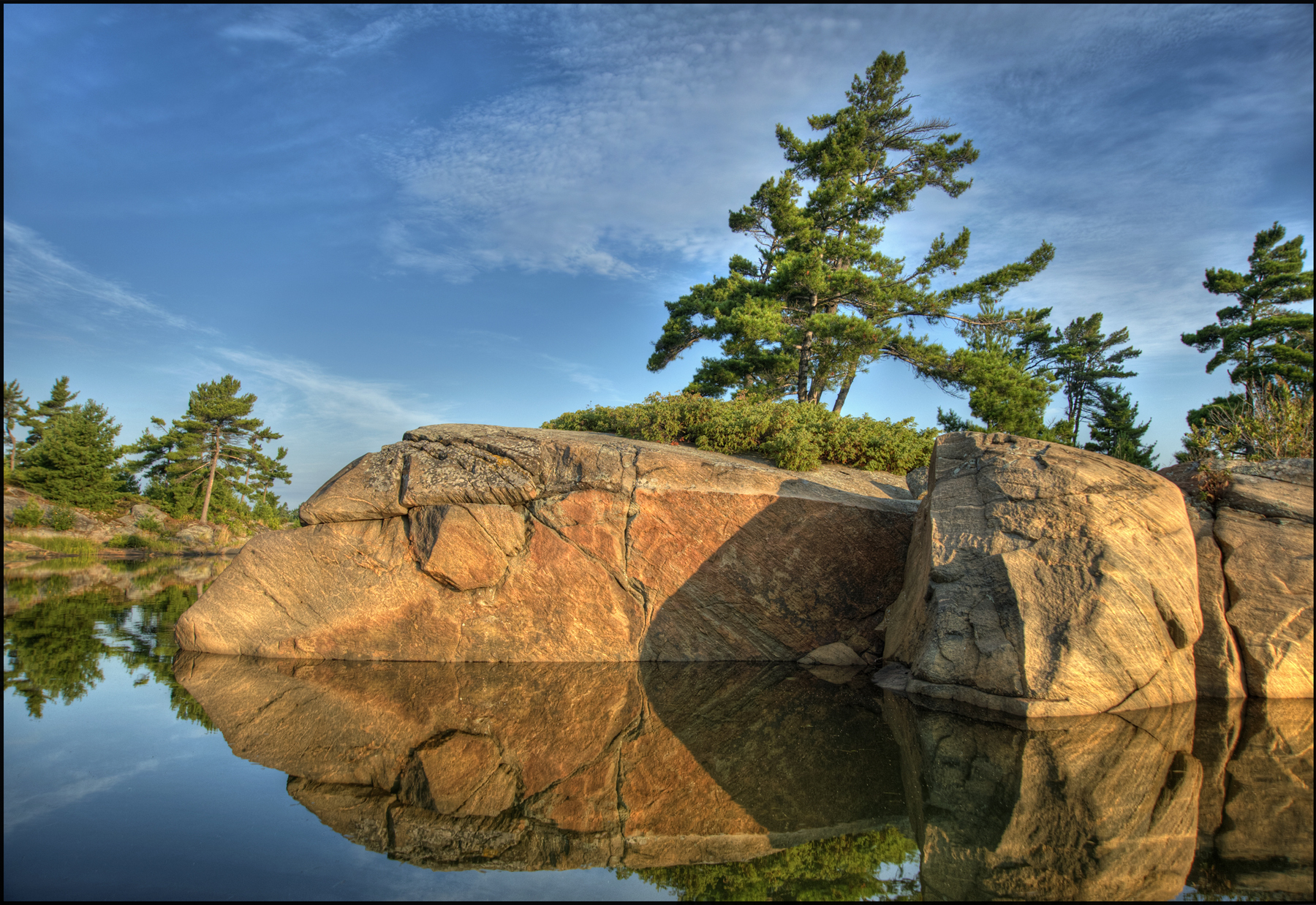
Granite Point
Killarney Lake and Georgian Bay
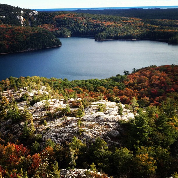
Lookout Point
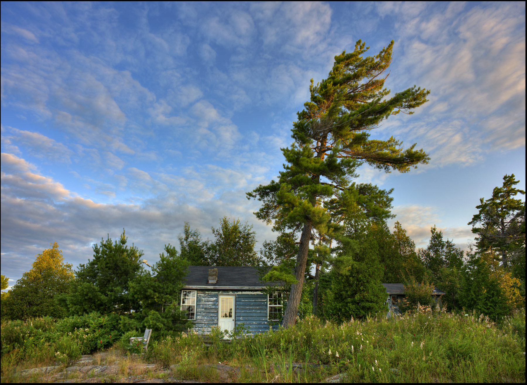
Cabin In The Woods
Topographic Map of Trans-Canada Hwy, Parry Sound, Unorganized, Centre Part, ON P0G, Canada
Find elevation by address:

Places near Trans-Canada Hwy, Parry Sound, Unorganized, Centre Part, ON P0G, Canada:
ON-A, Byng Inlet, ON P0G 1B0, Canada
The Archipelago
Trans-Canada Hwy, The Archipelago, ON P0G, Canada
Parry Sound, Unorganized, Centre Part
Trans-Canada Hwy, Killarney, ON P0G, Canada
P0h 1y0
34 Jolliffe Ln, Carling, ON P0G, Canada
French River
Dillon Cove Marina & Resort
French River
Dry Pine Bay
Hartley Bay Rd, Killarney, ON P0M, Canada
Eighteen Mile Bay
94 Remy Bay Rd, Carling, ON P0G, Canada
Hartley Bay Rd, Killarney, ON P0M, Canada
Green Bay Rd, Noëlville, ON P0M 2N0, Canada
Snug Harbour Rd, Carling, ON P0G, Canada
P0g 1g0
Noëlville
ON-64, French River, ON P0M, Canada
Recent Searches:
- Elevation of Corso Fratelli Cairoli, 35, Macerata MC, Italy
- Elevation of Tallevast Rd, Sarasota, FL, USA
- Elevation of 4th St E, Sonoma, CA, USA
- Elevation of Black Hollow Rd, Pennsdale, PA, USA
- Elevation of Oakland Ave, Williamsport, PA, USA
- Elevation of Pedrógão Grande, Portugal
- Elevation of Klee Dr, Martinsburg, WV, USA
- Elevation of Via Roma, Pieranica CR, Italy
- Elevation of Tavkvetili Mountain, Georgia
- Elevation of Hartfords Bluff Cir, Mt Pleasant, SC, USA