Elevation of The Archipelago, ON, Canada
Location: Canada > Ontario > Parry Sound District >
Longitude: -80.345939
Latitude: 45.6097518
Elevation: 198m / 650feet
Barometric Pressure: 99KPa
Elevation Map:
Satellite Map:
Related Photos:
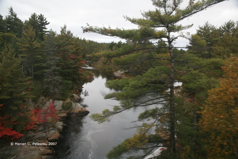
IMG_9183.JPG
Harris Lake
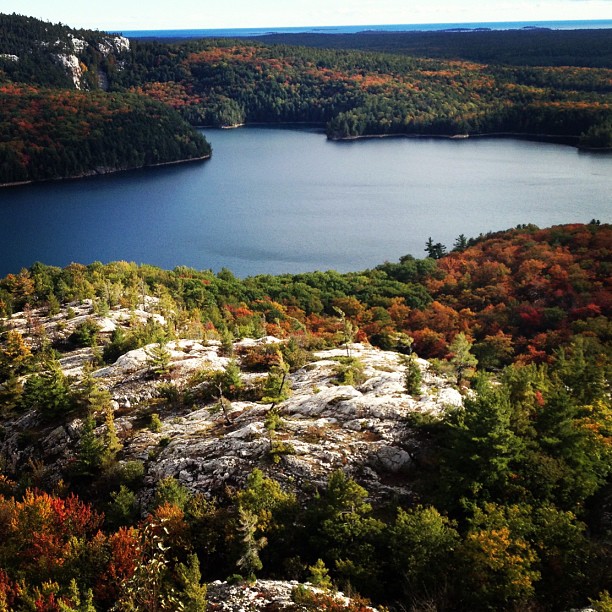
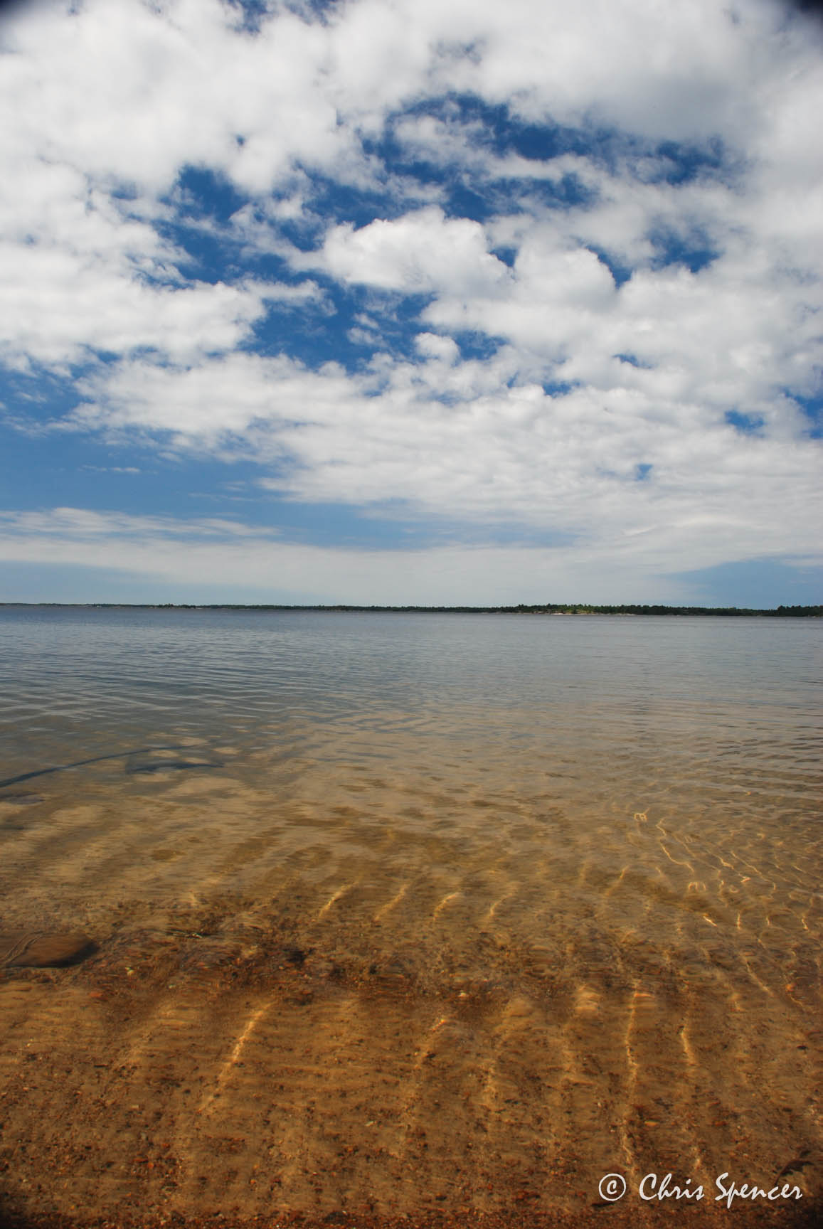
Killarney Lake and Georgian Bay
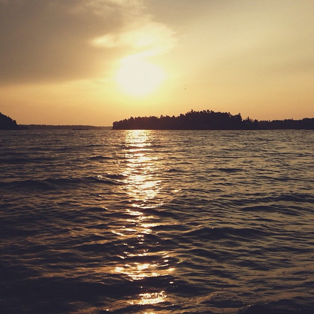
The sun woke me up this morning, got in my face, and am I ever glad it did. I wouldn't want to miss this moment.
Georgian Bay
Cottage Life

Magnetawan Trout Lake Canoe Trip 090

Magnetawan Trout Lake Canoe Trip 088

Magnetawan Trout Lake Canoe Trip 081

Magnetawan Trout Lake Canoe Trip 085

Magnetawan Trout Lake Canoe Trip 087
Topographic Map of The Archipelago, ON, Canada
Find elevation by address:

Places in The Archipelago, ON, Canada:
Places near The Archipelago, ON, Canada:
Trans-Canada Hwy, The Archipelago, ON P0G, Canada
ON-A, Byng Inlet, ON P0G 1B0, Canada
Trans-Canada Hwy, Parry Sound, Unorganized, Centre Part, ON P0G, Canada
34 Jolliffe Ln, Carling, ON P0G, Canada
Dillon Cove Marina & Resort
P0h 1y0
94 Remy Bay Rd, Carling, ON P0G, Canada
Snug Harbour Rd, Carling, ON P0G, Canada
P0g 1g0
Parry Sound, Unorganized, Centre Part
Carling
51 Island View Dr, Carling, ON P0G, Canada
22 Beech Ave, Carling, ON P0G, Canada
69b
69a
Parry Island First Nation
Carling
Trans-Canada Hwy, Killarney, ON P0G, Canada
French River
French River
Recent Searches:
- Elevation of Corso Fratelli Cairoli, 35, Macerata MC, Italy
- Elevation of Tallevast Rd, Sarasota, FL, USA
- Elevation of 4th St E, Sonoma, CA, USA
- Elevation of Black Hollow Rd, Pennsdale, PA, USA
- Elevation of Oakland Ave, Williamsport, PA, USA
- Elevation of Pedrógão Grande, Portugal
- Elevation of Klee Dr, Martinsburg, WV, USA
- Elevation of Via Roma, Pieranica CR, Italy
- Elevation of Tavkvetili Mountain, Georgia
- Elevation of Hartfords Bluff Cir, Mt Pleasant, SC, USA