Elevation map of Parry Sound District, ON, Canada
Location: Canada > Ontario >
Longitude: -80.154756
Latitude: 45.4790671
Elevation: 219m / 719feet
Barometric Pressure: 99KPa
Elevation Map:
Satellite Map:
Related Photos:
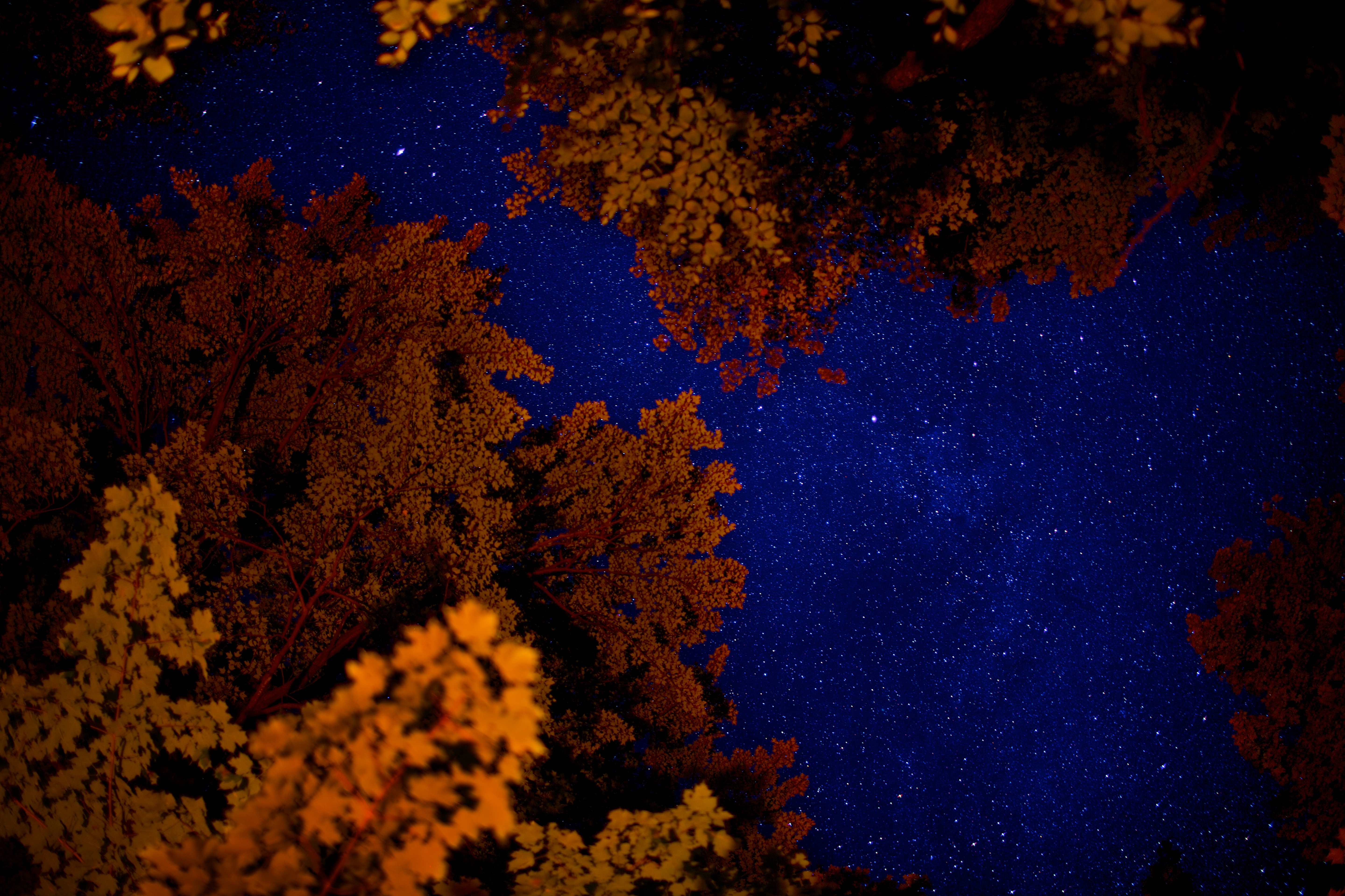
Room with a view.. on the sky.

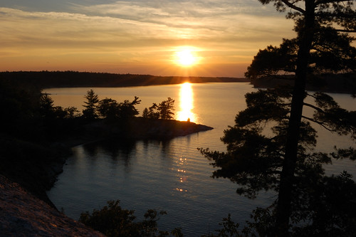
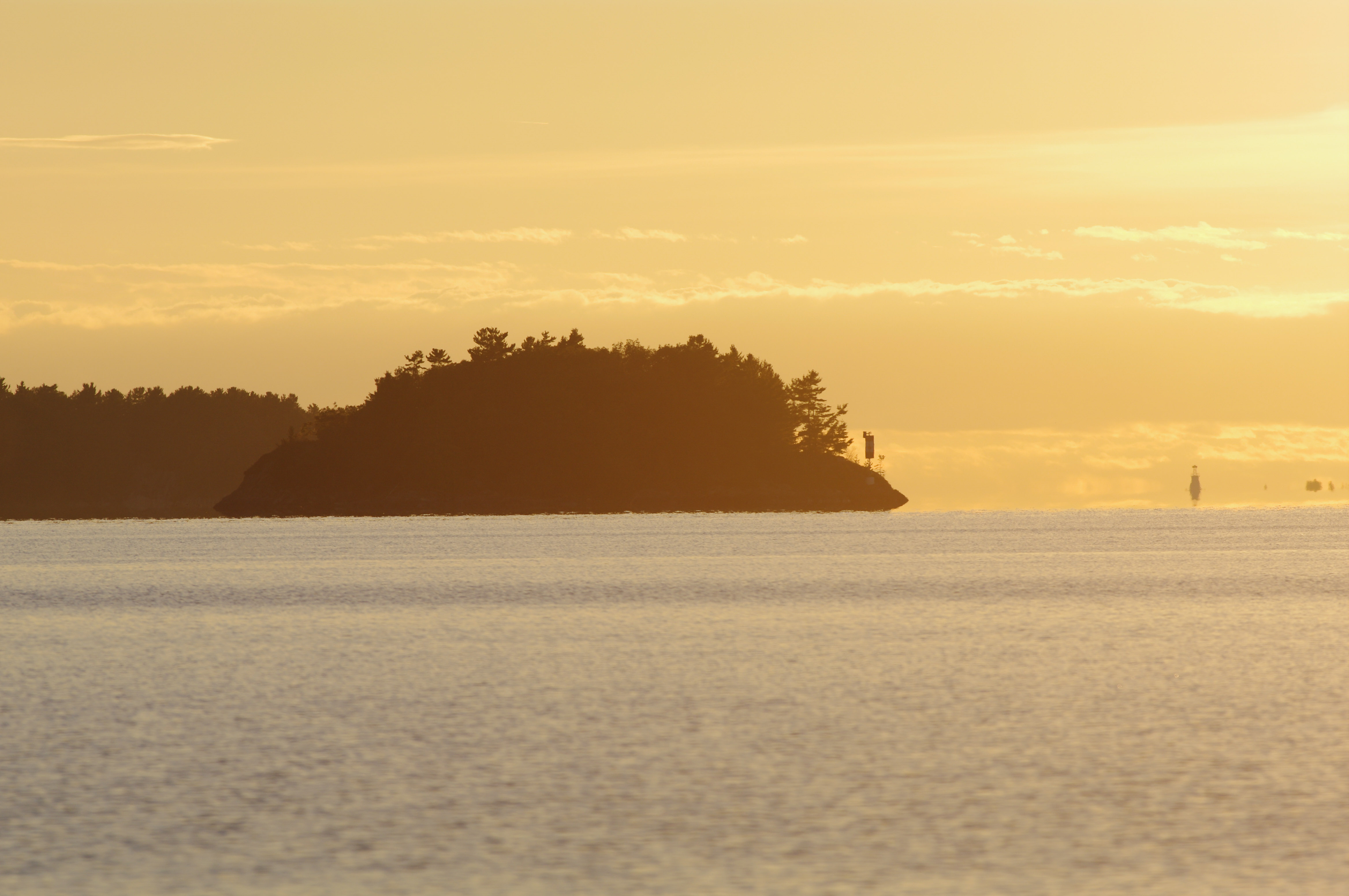
Georgian Bay-Parry Sound HDR sunset
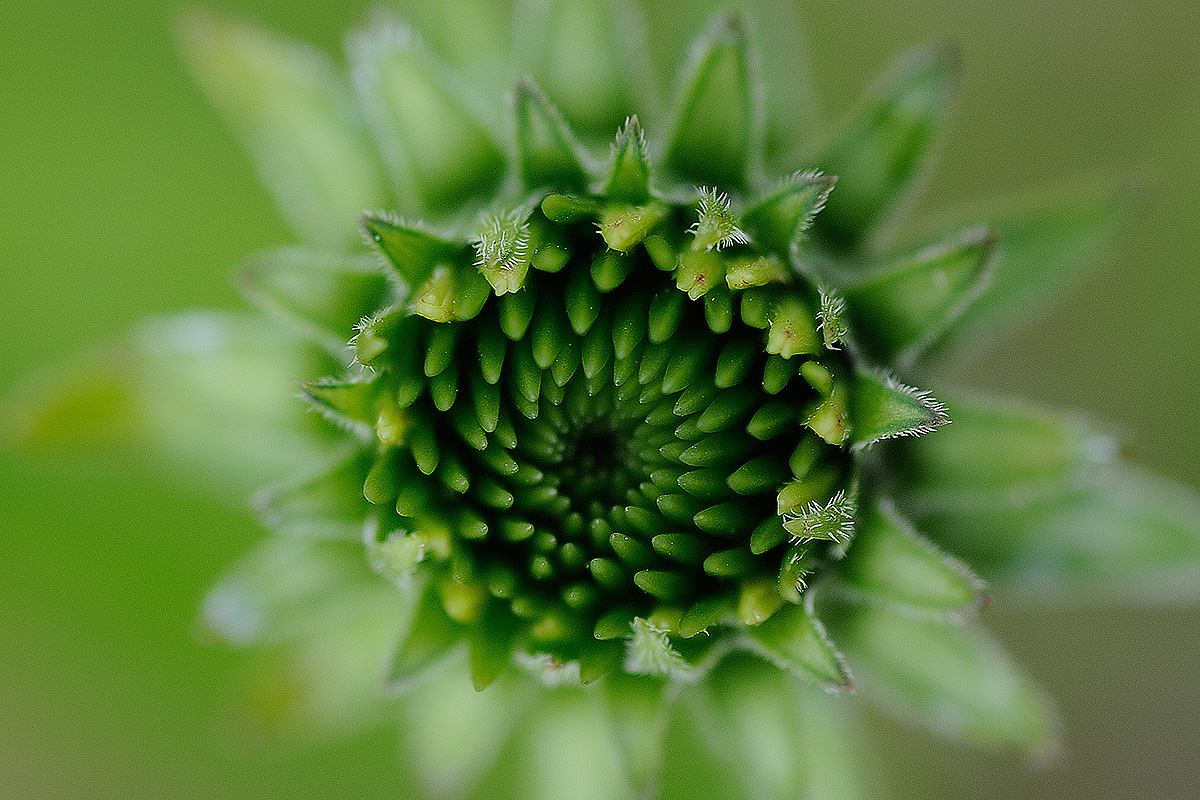
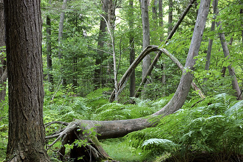
Flora at Killbear.
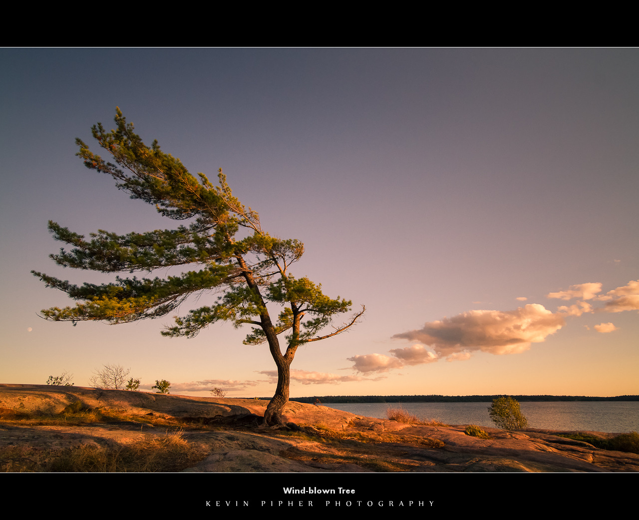
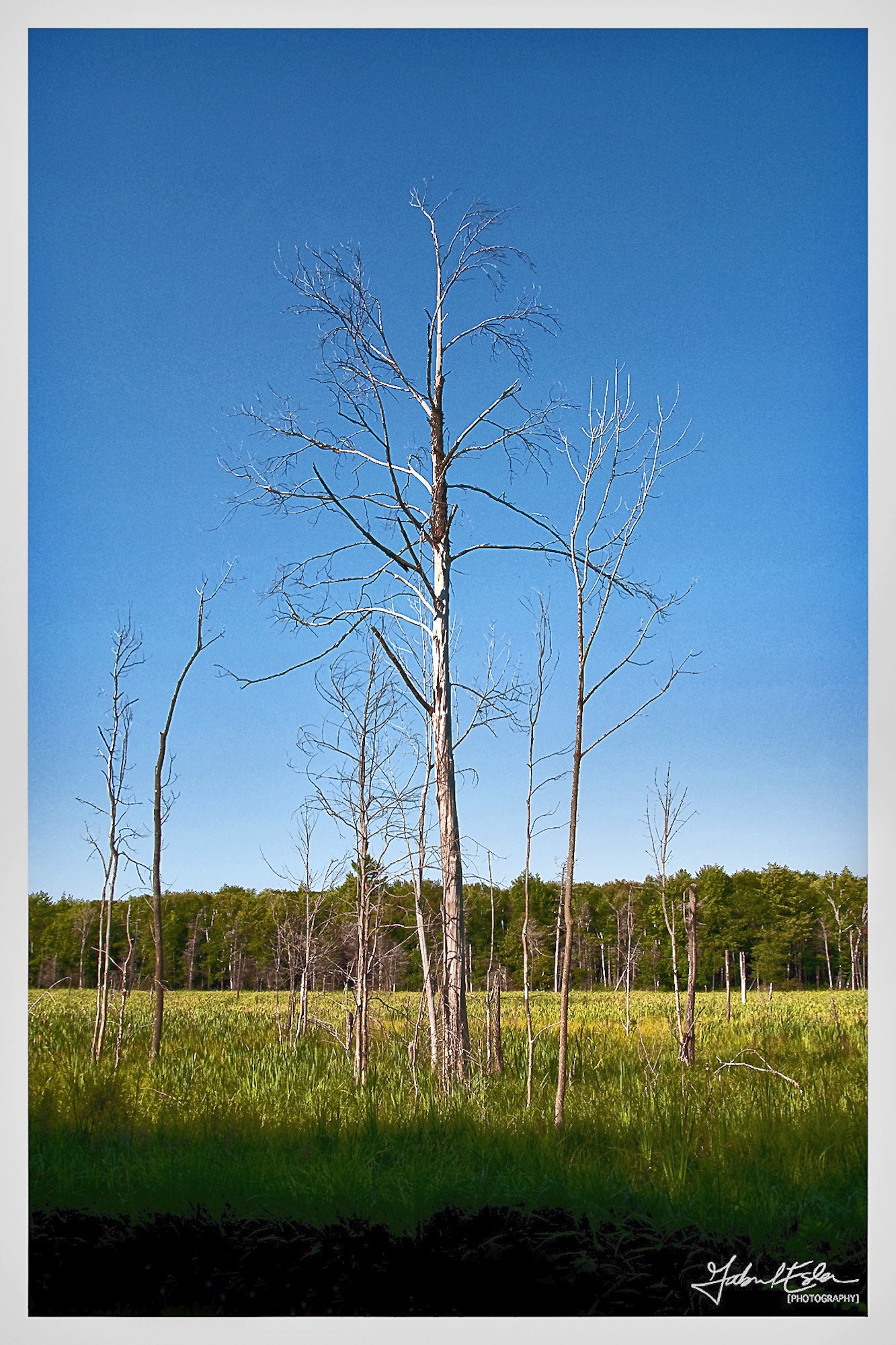
Wind-blown Tree
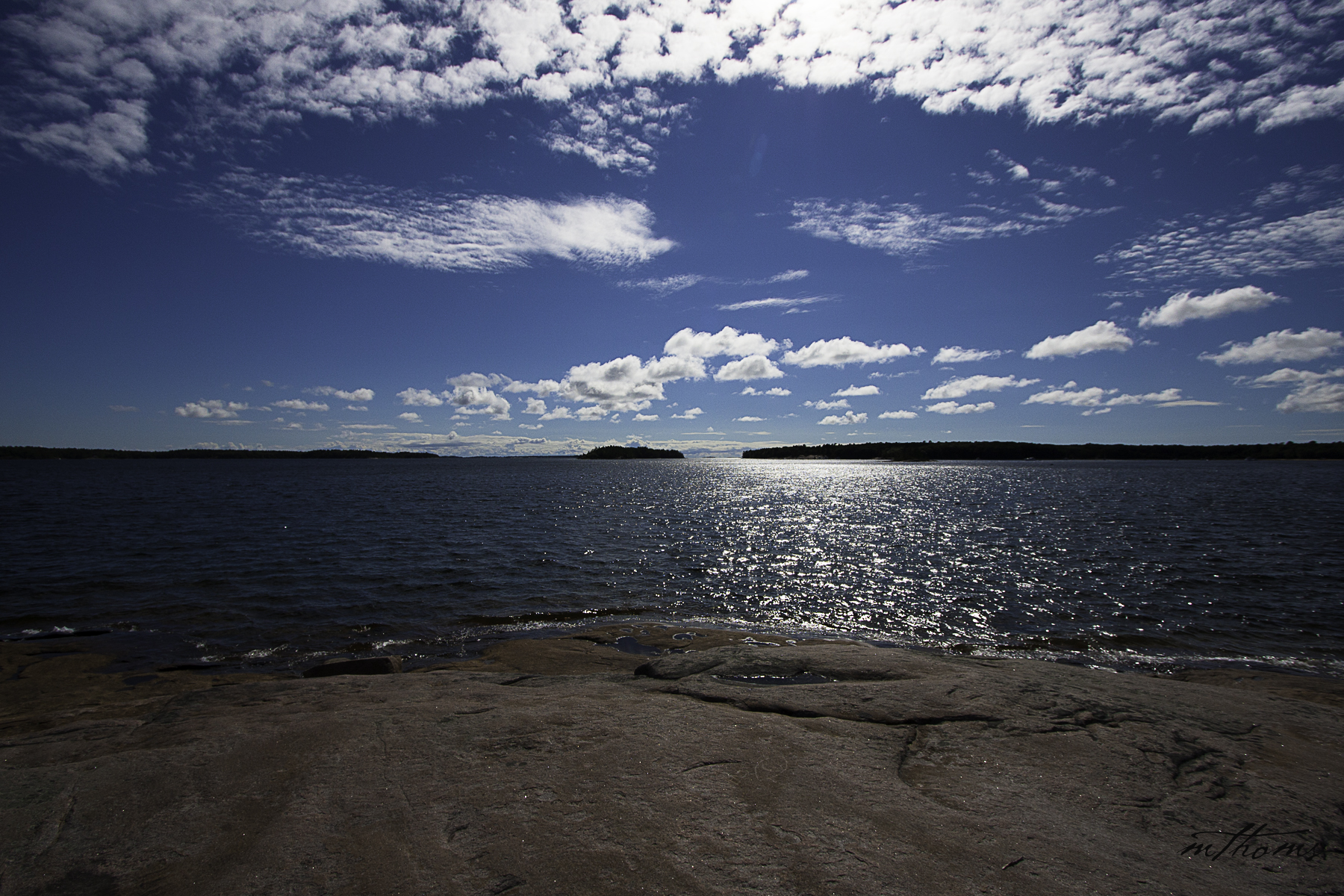
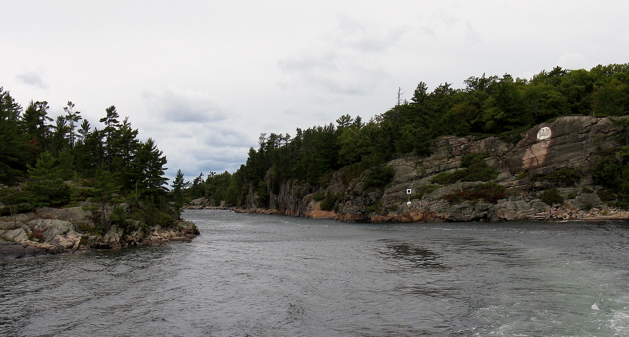
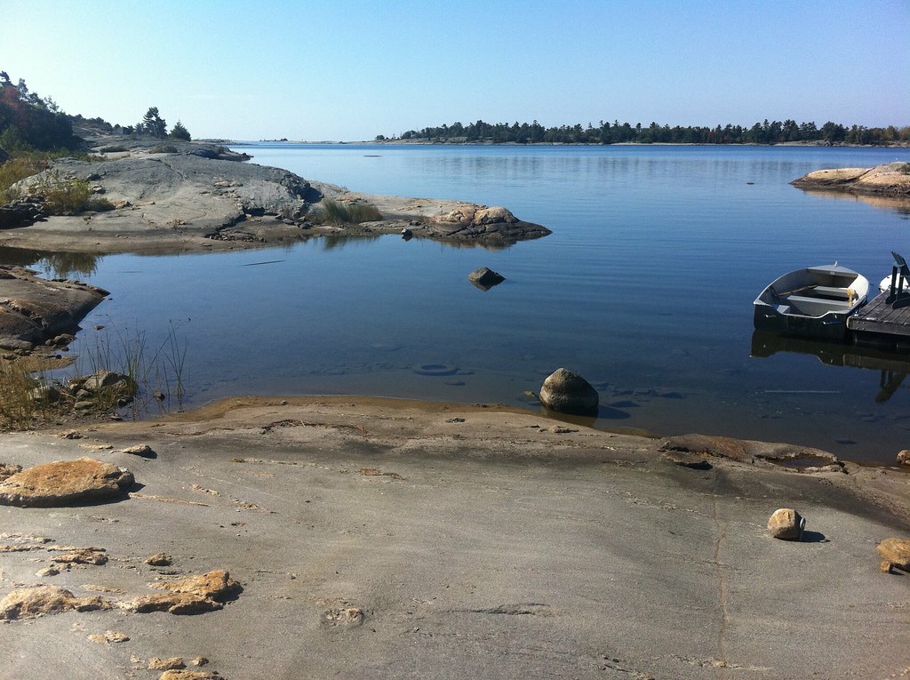
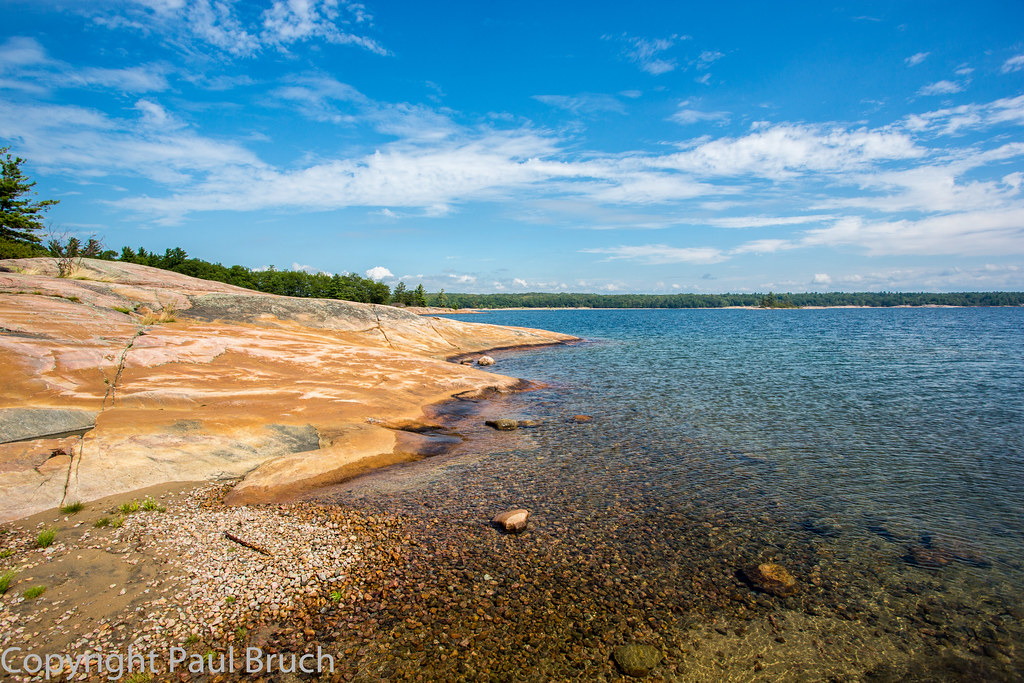
Parry Sound

Flora at Killbear.
Hole in the Wall (guarded by a happy face)
#10
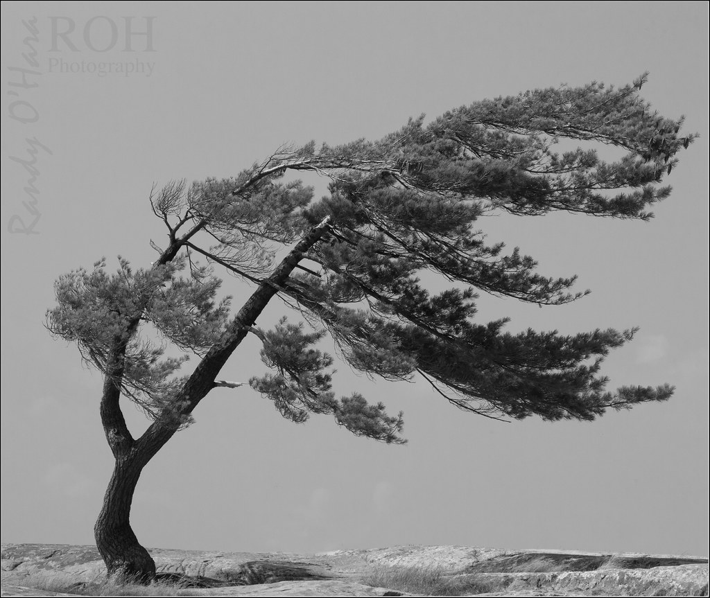
Monochromatic photo # "Wind Swept Tree"

IMG_9175.JPG
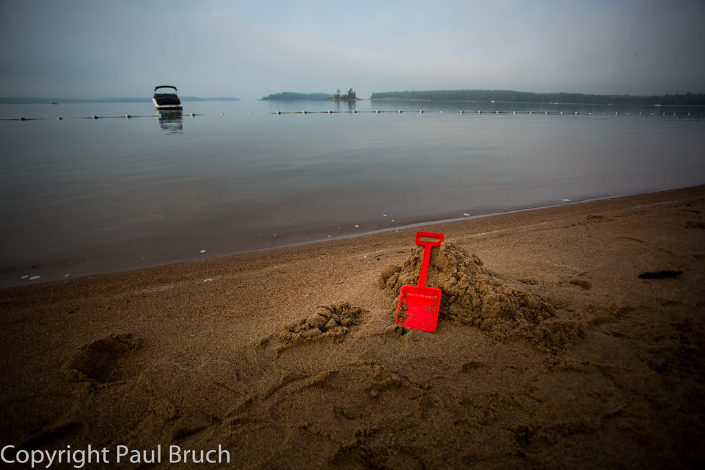
Red Shovel

Snow and Ice
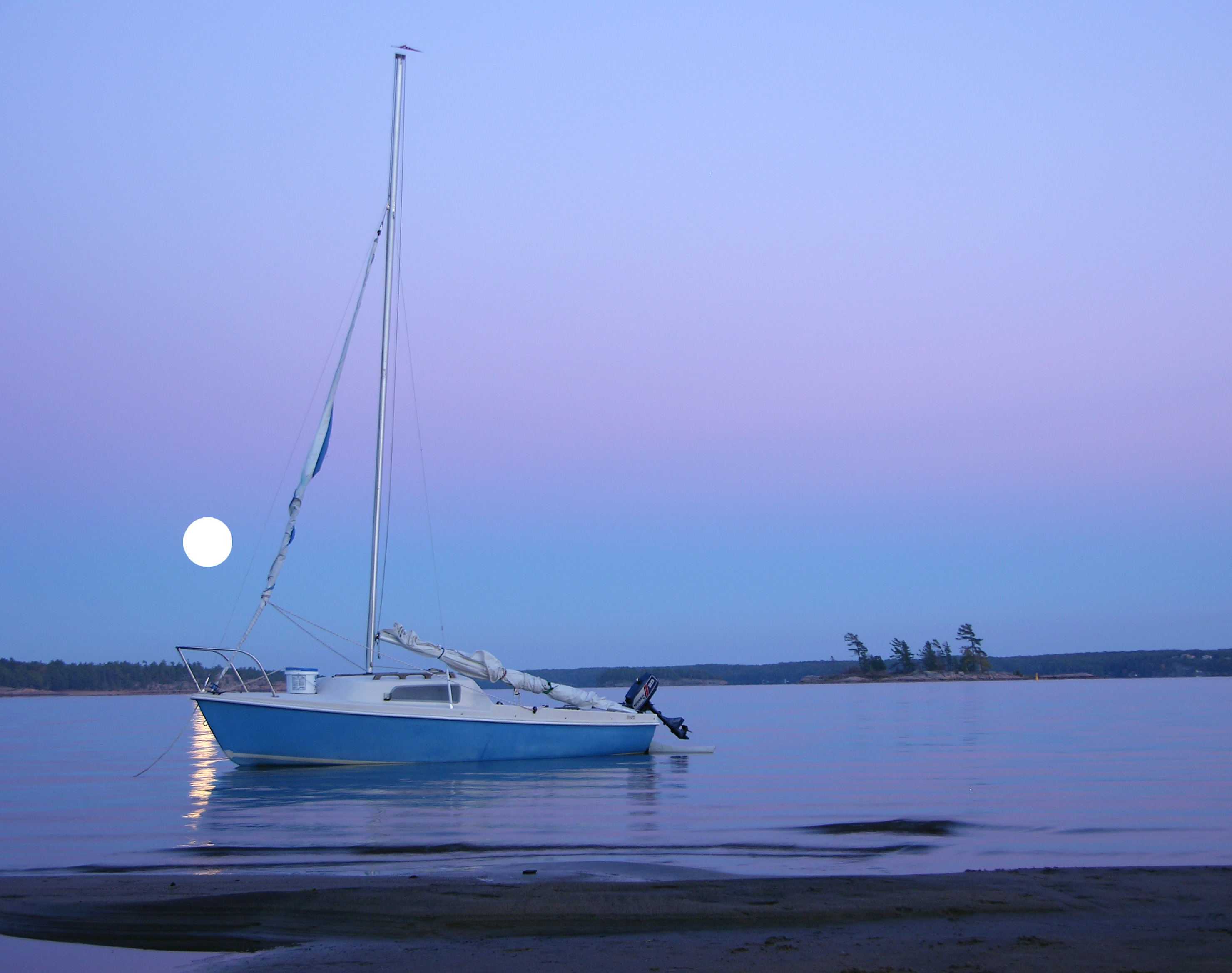
Full Moon - Summer Sail

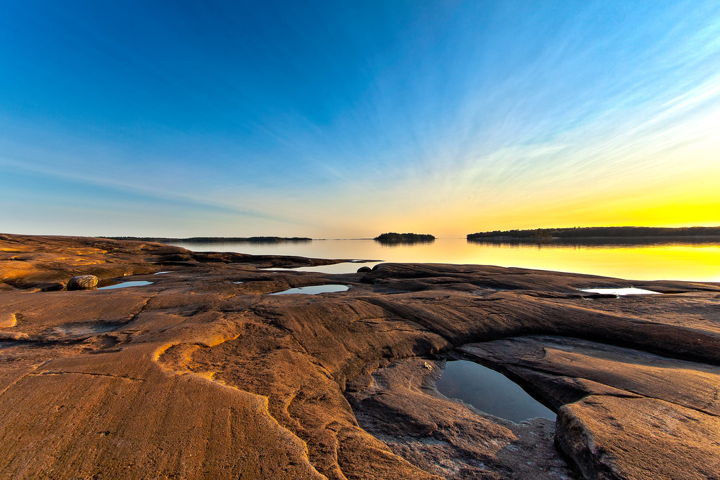
Killbear Sunrise

Stuck In Time
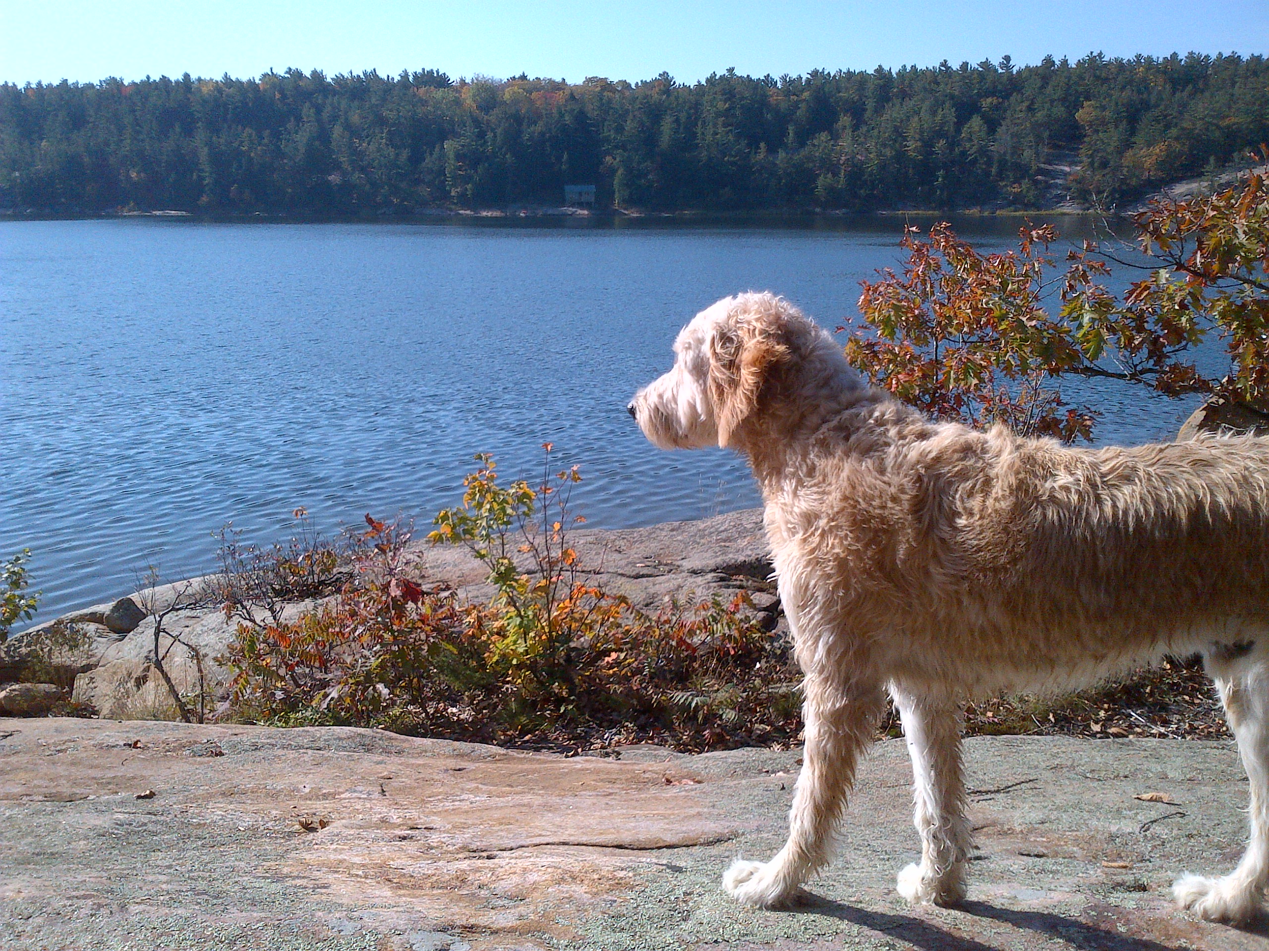
Killbear Provincial Park

Orb And Pine In Moonlight

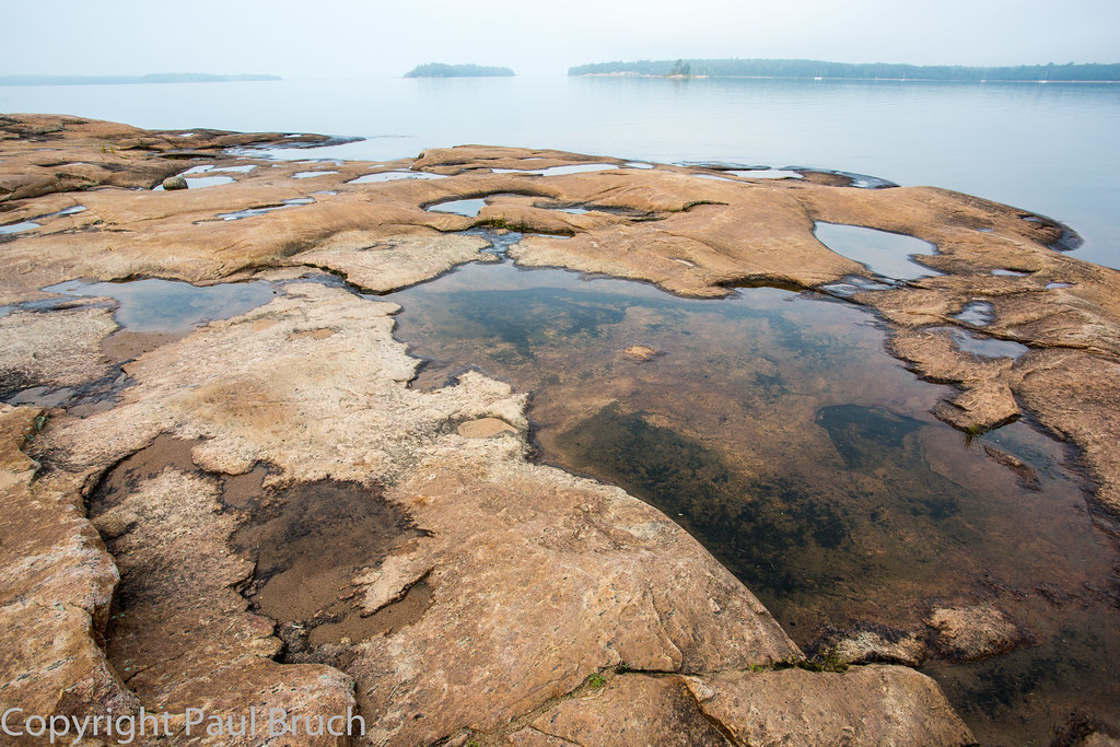
Sentimental Sedimentary
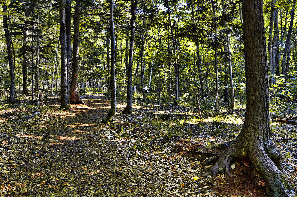
trail in Killbear Prov. Park

Creek in Parry Sound
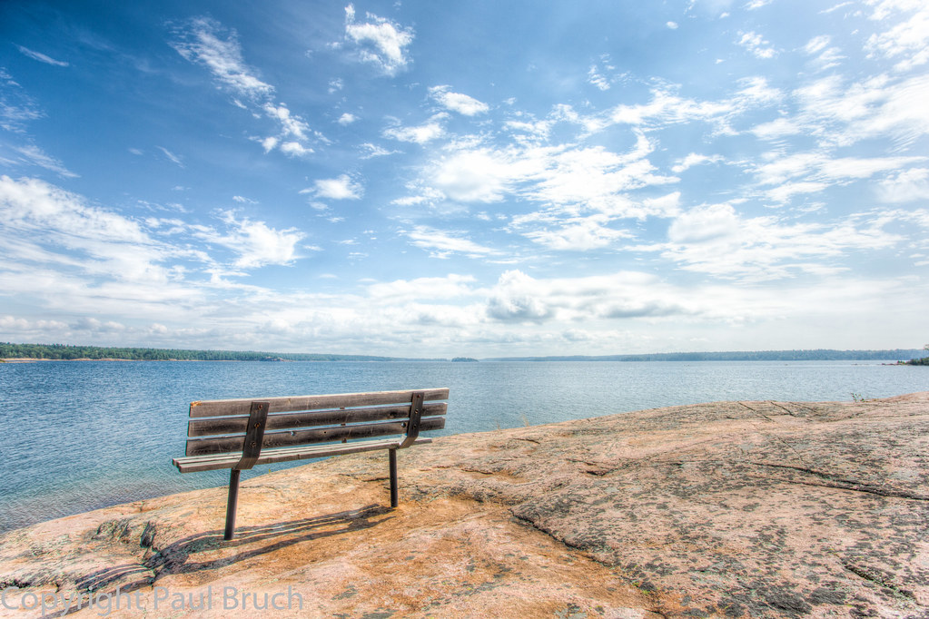
Lookout Point Trail, Killbear Provincial Park
Snug Harbour
Killbear Provincial Park
Killbear Provincial Park

Winter Afternoon
sunset over Killbear
Killbear Provincial Park
20100917-150918-UTC-K7A_8297.jpg
Ontario Landscape Photography by Scott Ferrede
Topographic Map of Parry Sound District, ON, Canada
Find elevation by address:

Places in Parry Sound District, ON, Canada:
Mcmurrich/monteith
Magnetawan
Kearney
Carling
Parry Sound, Unorganized, Centre Part
Perry
Parry Sound
Parry Island First Nation
The Archipelago
Machar
Whitestone
Armour
Powassan
Joly
99 Rockview Rd, Callander, ON P0H 1H0, Canada
Stisted Rd S, Novar, ON P0A 1R0, Canada
34 Jolliffe Ln, Carling, ON P0G, Canada
Gordon Point Rd, Magnetawan, ON P0A 1P0, Canada
Whitestone
Whitestone
Whitestone
Whitestone
Whitestone
Whitestone
Whitestone
Whitestone
Whitestone
Whitestone
Whitestone
Whitestone
Whitestone
Whitestone
Whitestone
Whitestone
3 Museum Rd, Parry Sound, ON P2A 2W8, Canada
South River
Sundridge
Seguin
P0h 1y0
Burk's Falls
Callander
Nipissing
Strong
Places near Parry Sound District, ON, Canada:
Parry Sound
6 Bay St
77 Trout Lake Rd
P2a 2w7
53 Weaver Point, Whitestone, ON P0G, Canada
15 Trillium Trail
Whitestone
Whitestone
Whitestone
Whitestone
Whitestone
Whitestone
Whitestone
Whitestone
Whitestone
Whitestone
Whitestone
Whitestone
Whitestone
Whitestone
Recent Searches:
- Elevation of Corso Fratelli Cairoli, 35, Macerata MC, Italy
- Elevation of Tallevast Rd, Sarasota, FL, USA
- Elevation of 4th St E, Sonoma, CA, USA
- Elevation of Black Hollow Rd, Pennsdale, PA, USA
- Elevation of Oakland Ave, Williamsport, PA, USA
- Elevation of Pedrógão Grande, Portugal
- Elevation of Klee Dr, Martinsburg, WV, USA
- Elevation of Via Roma, Pieranica CR, Italy
- Elevation of Tavkvetili Mountain, Georgia
- Elevation of Hartfords Bluff Cir, Mt Pleasant, SC, USA