Elevation of Whitestone, ON, Canada
Location: Canada > Ontario > Parry Sound District >
Longitude: -79.984937
Latitude: 45.6930108
Elevation: 240m / 787feet
Barometric Pressure: 98KPa
Elevation Map:
Satellite Map:
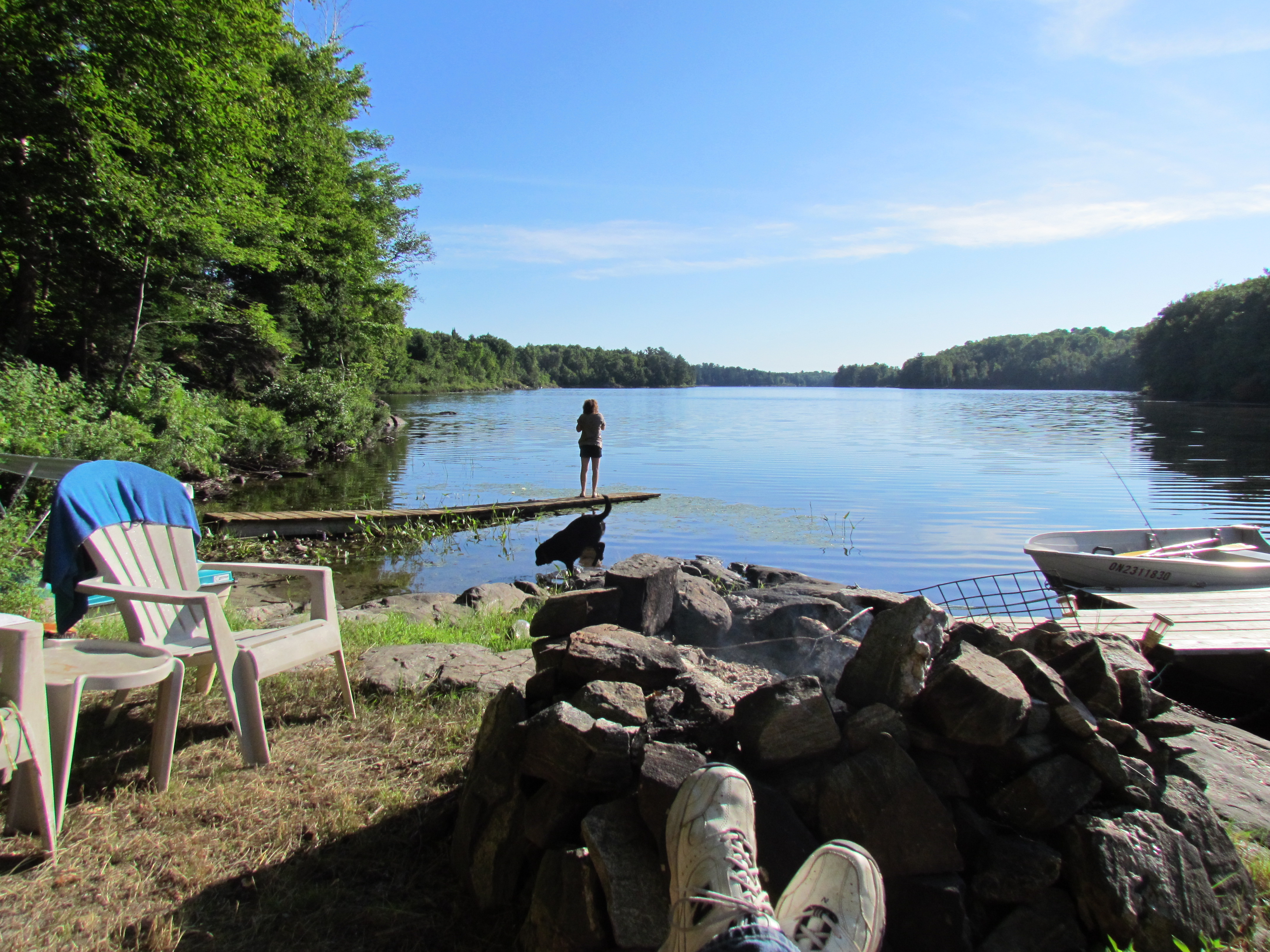
Related Photos:
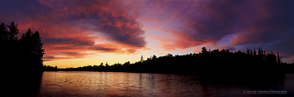
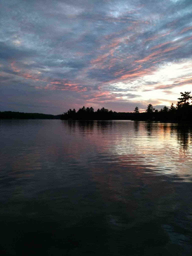
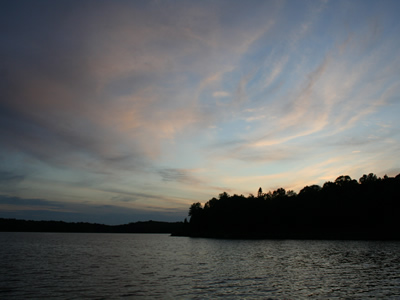
Sunset Pano
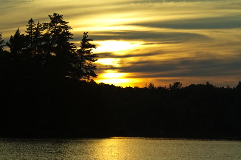
Sunset on Whitestone

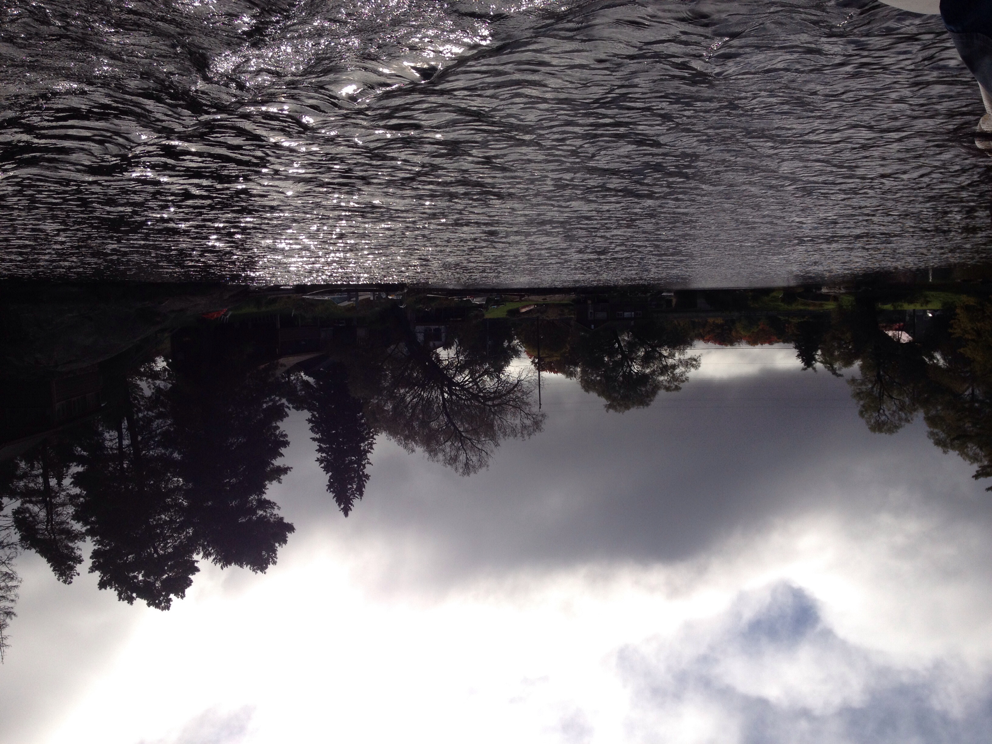
Heavy on Whitestone

Irene @ Heavy's Cottage
Kowalchuks' Cottage
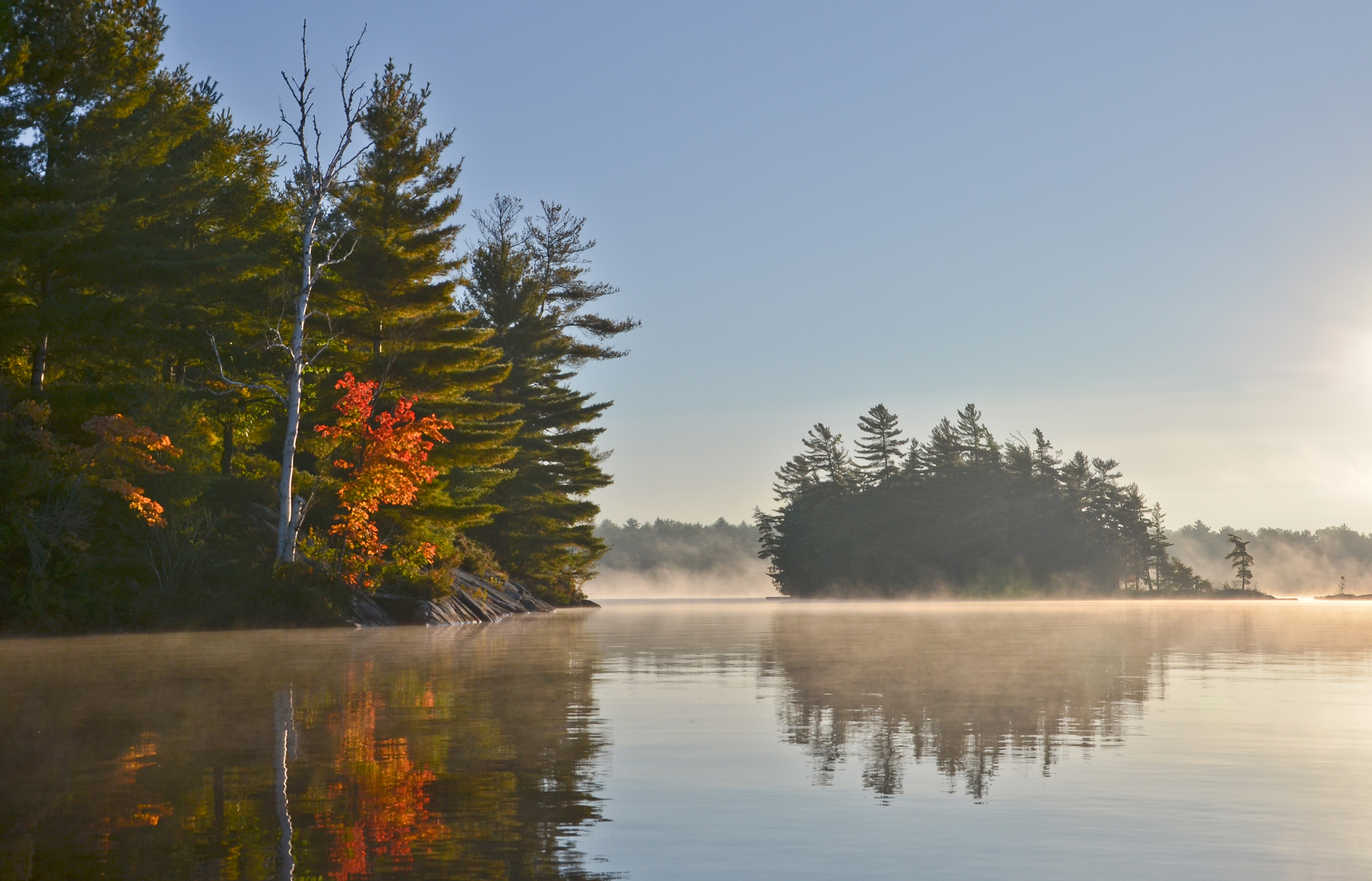
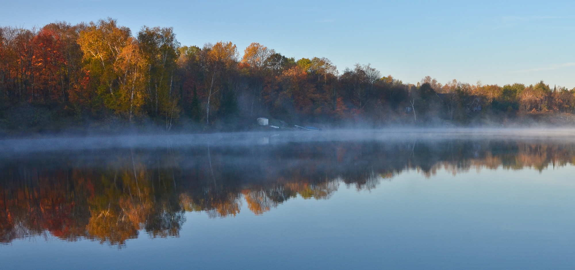
Autumn Mist
Autumn Light
Camera Plus

Autumn Road
October Morning

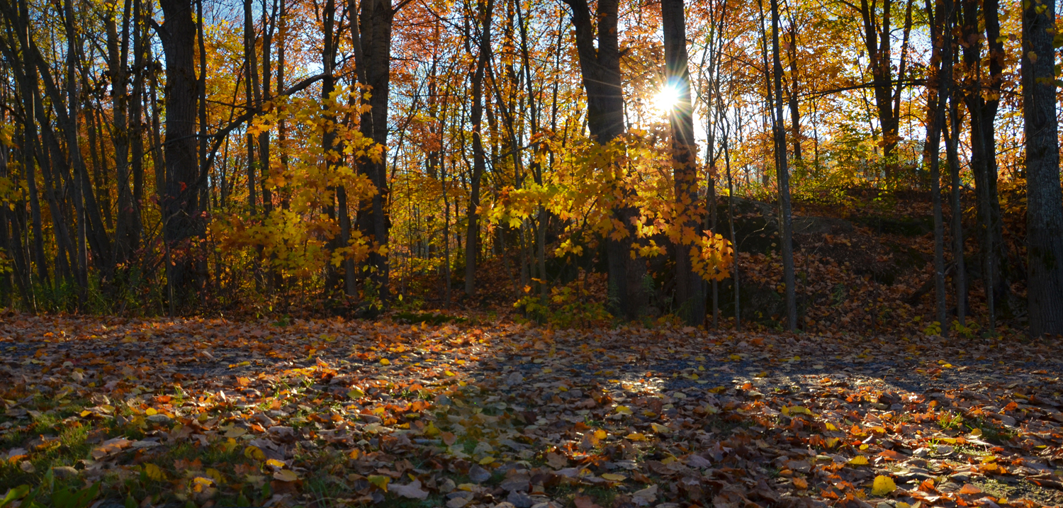
In the Forest
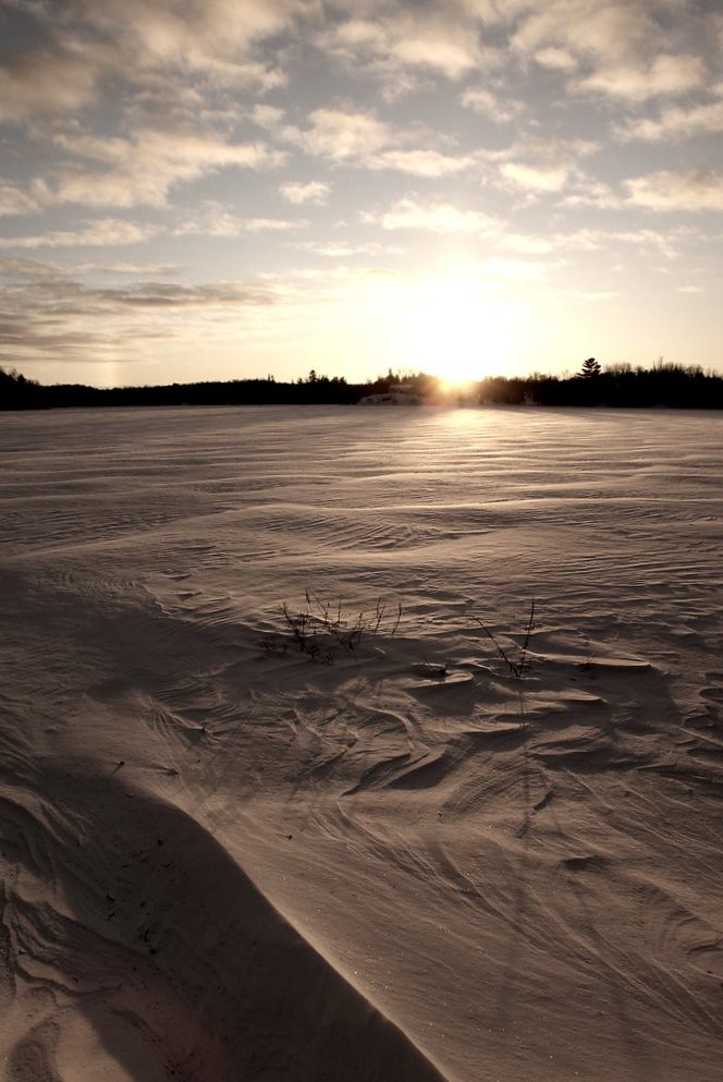
Winter at the Cottage
ATV Ride In & Camp beautiful sky
Kowalchuks' Cottage
Kowalchuks' Cottage
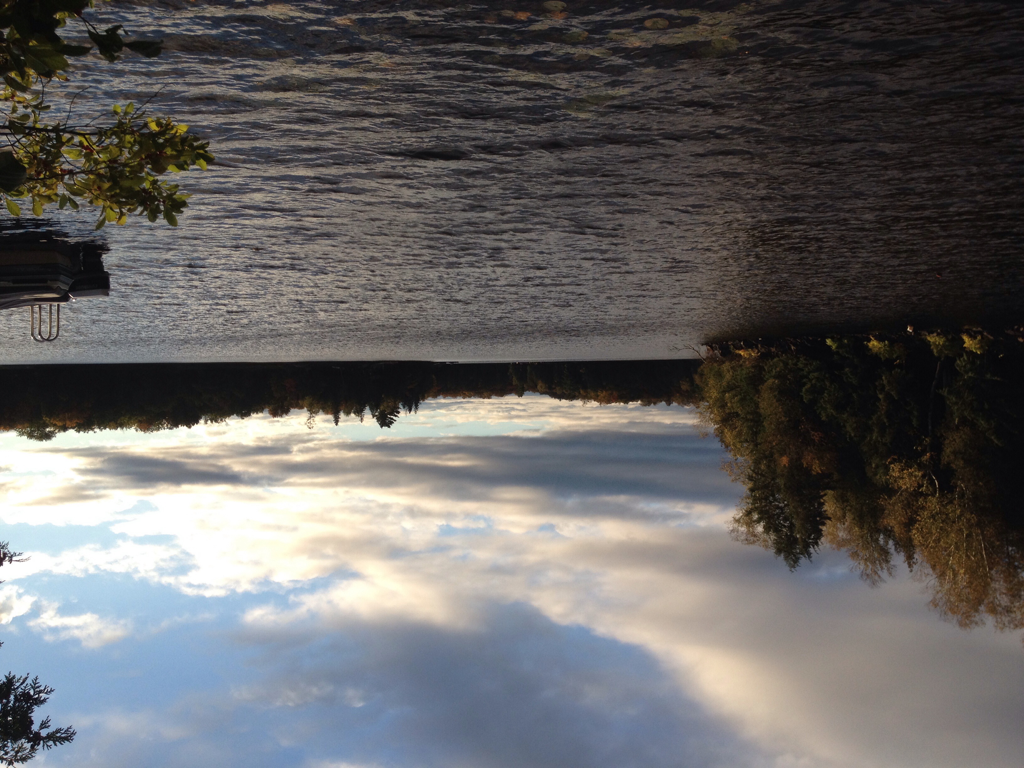
Cottage Country
Weekend at the Cabin
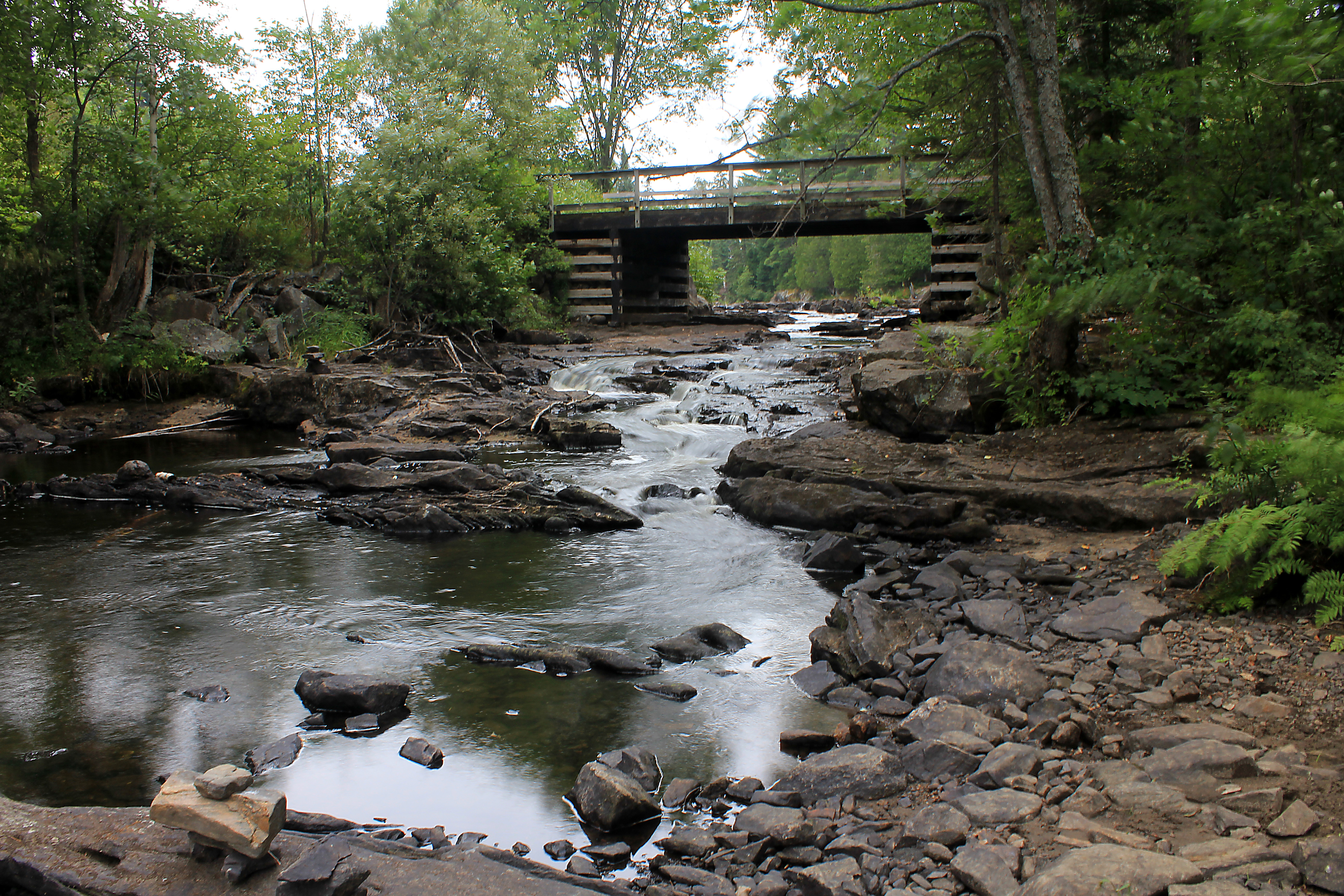
Cody Rapids Portage
Topographic Map of Whitestone, ON, Canada
Find elevation by address:

Places near Whitestone, ON, Canada:
Whitestone
Whitestone
Whitestone
Whitestone
Whitestone
Whitestone
Whitestone
Whitestone
Whitestone
Whitestone
Whitestone
Whitestone
Whitestone
Whitestone
Whitestone
Whitestone
53 Weaver Point, Whitestone, ON P0G, Canada
494 Canning Rd
Dunchurch
Recent Searches:
- Elevation of Corso Fratelli Cairoli, 35, Macerata MC, Italy
- Elevation of Tallevast Rd, Sarasota, FL, USA
- Elevation of 4th St E, Sonoma, CA, USA
- Elevation of Black Hollow Rd, Pennsdale, PA, USA
- Elevation of Oakland Ave, Williamsport, PA, USA
- Elevation of Pedrógão Grande, Portugal
- Elevation of Klee Dr, Martinsburg, WV, USA
- Elevation of Via Roma, Pieranica CR, Italy
- Elevation of Tavkvetili Mountain, Georgia
- Elevation of Hartfords Bluff Cir, Mt Pleasant, SC, USA