Elevation of Town Point Ln, Centreville, MD, USA
Location: United States > Maryland > Queen Anne's County >
Longitude: -76.140587
Latitude: 39.076581
Elevation: 4m / 13feet
Barometric Pressure: 101KPa
Elevation Map:
Satellite Map:
Related Photos:

Light Trail Under the Moon

Hotel view.
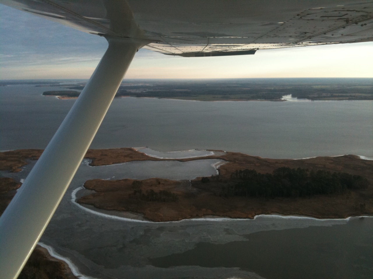
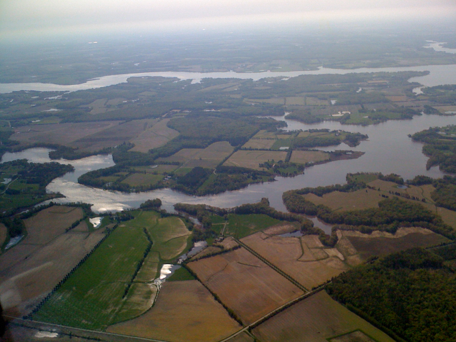
Aerial view of Hale Cove
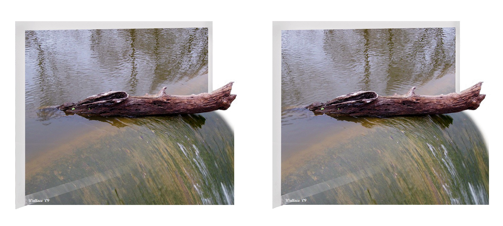
Wye Mills Lake Spill
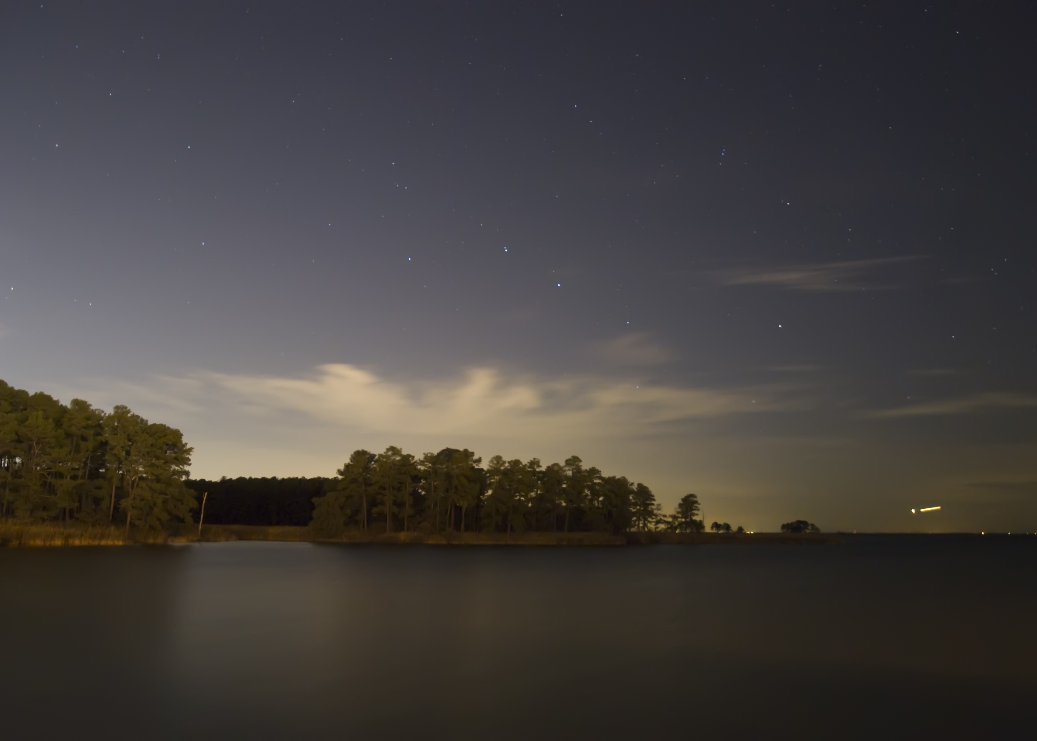
Starry Night, Moonless Sky

A lonely lady

Wye Mills Lake Spill

BUDWEISER CLYDESDALES 18 WHEELER

View from Pier
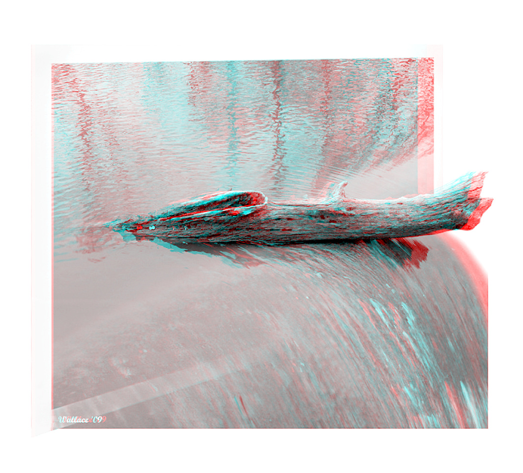
Wye Mills Lake Spill

Vestry House, 1766

Wye Mills Lake Spill
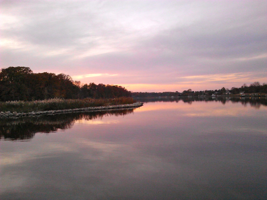
View of Corsica River

Eastern Neck NWR near Rock Hall MD
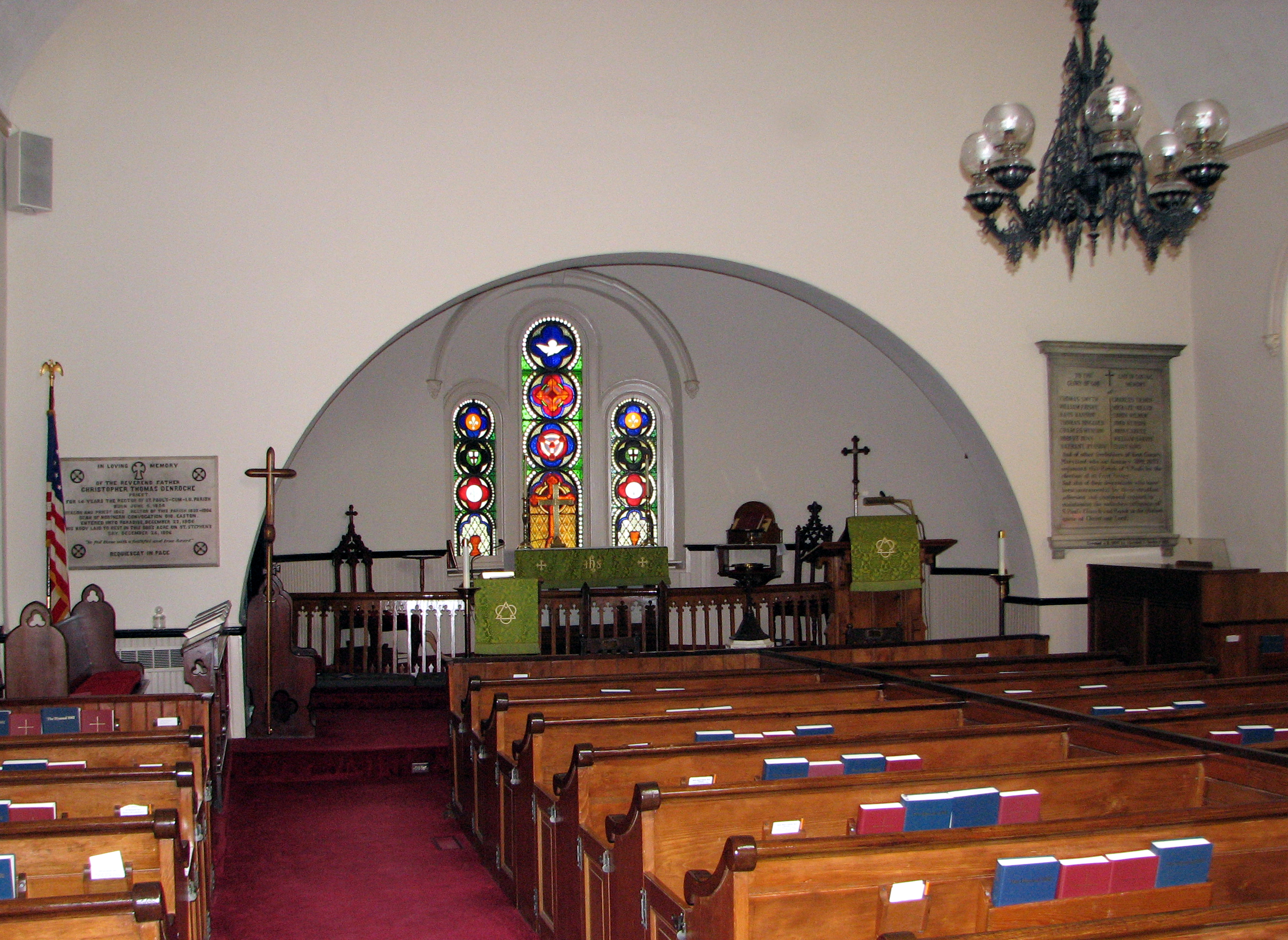
St. Paul's Episcopal Church, Kent County, Maryland

Rear-1- View of 4 Houses

1955 OLDSMOBILE

View from Emory's Landing at Dawn

Ghost Railroad

St. Peter's Church Historical Marker
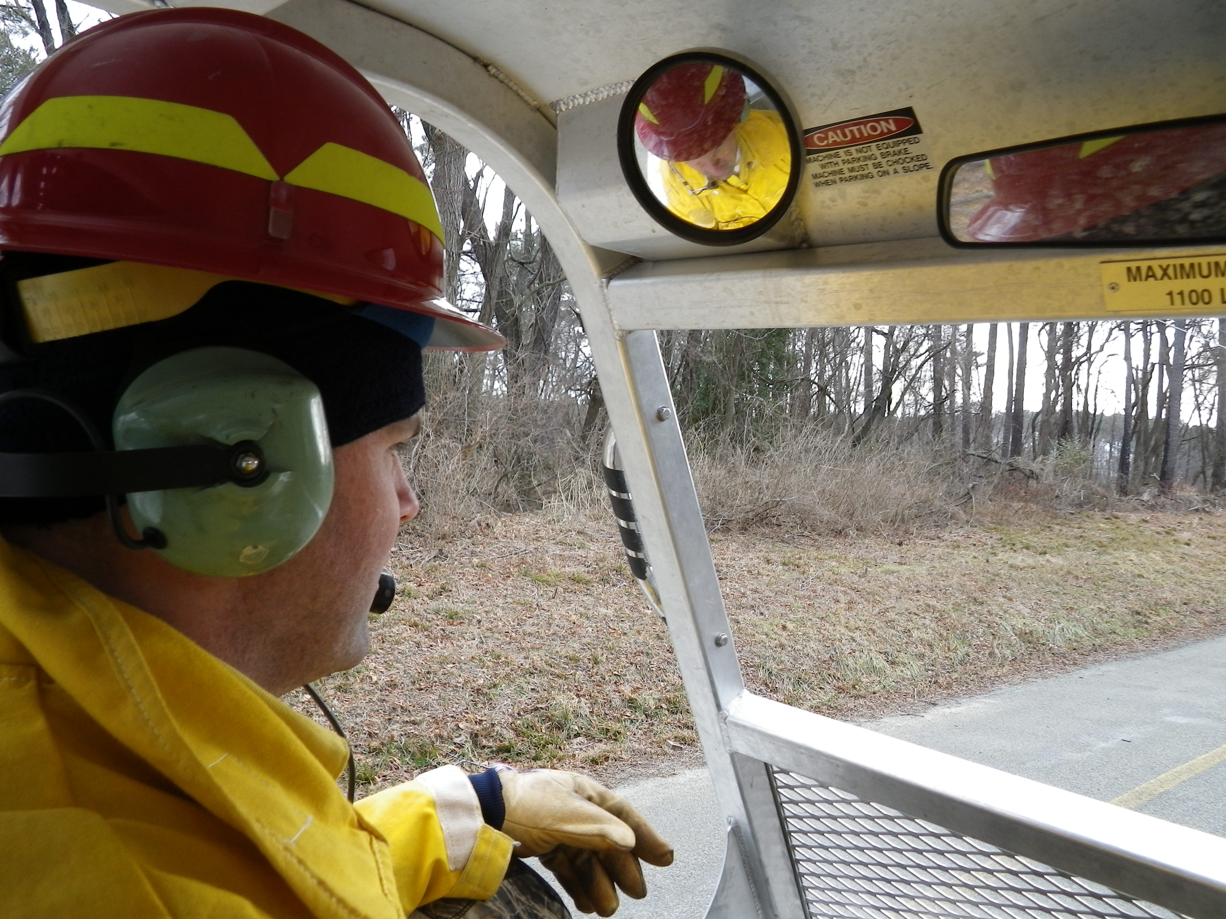
View from inside Marshmaster
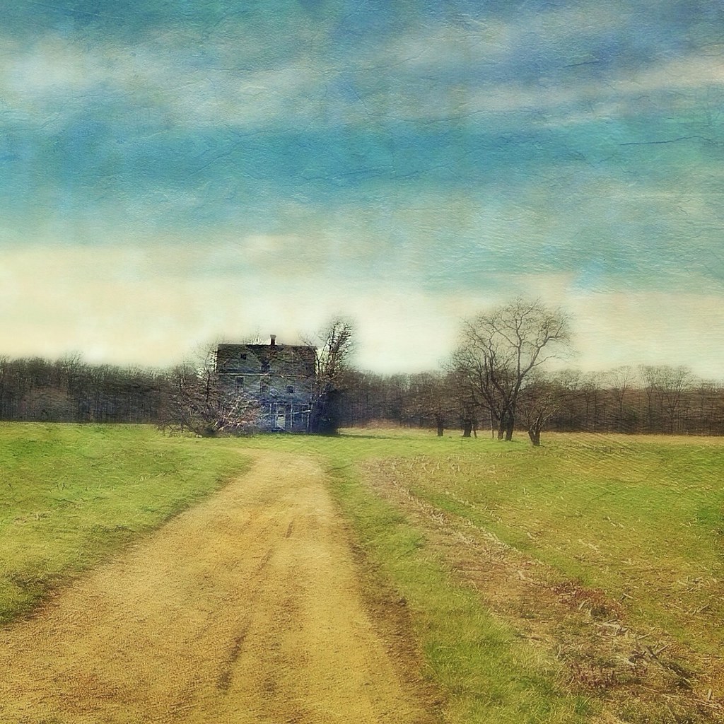
A Story Untold

Chesapeake Day's End

Eroding beach, Chesapeake Bay Environmental Center

Rt. 50

Workboat with condos behind, Kent Narrows

120/365 102809
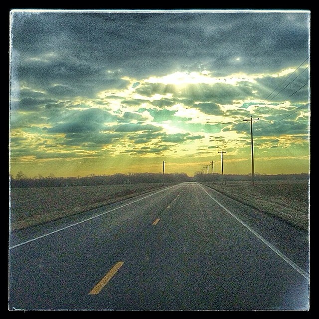
Image created with #Snapseed
2015-01-11 13.56.30
Day 3 of the trip 536

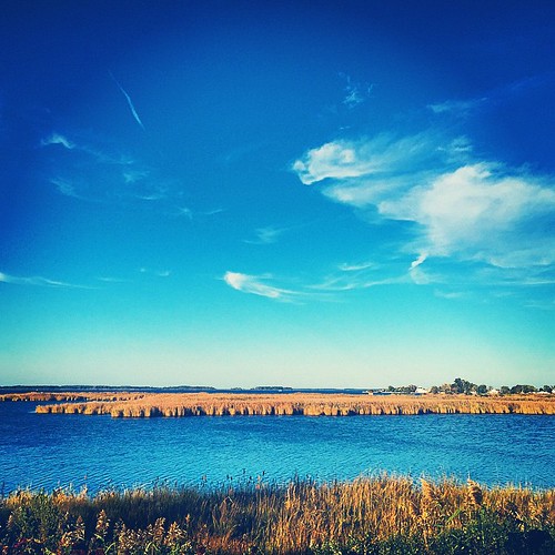
Phragmites, Chesapeake Bay Environmental Center

(3) Geese on the move at dusk
IMG_0361.JPG
IMG_0362.JPG

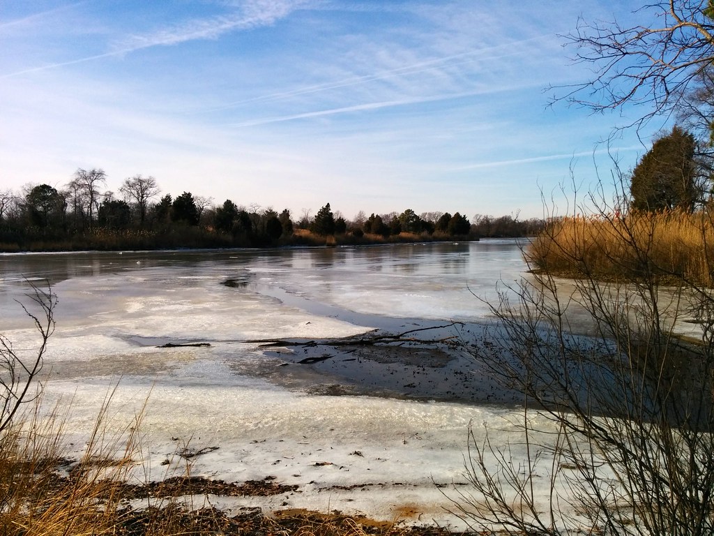
Frozen Chesapeake
2015-01-11 13.05.59
#crabcakesandkarats ⛵⚓✌
Kent Island, MD
#crabcakesandkarats ⛵⚓✌
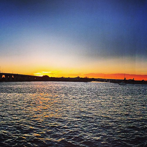
#crabcakesandkarats ⛵⚓✌ #sunset

Plastic barrel in Eastern Neck National Wildlife Refuge

Blue sky and clouds through sea grass
Topographic Map of Town Point Ln, Centreville, MD, USA
Find elevation by address:

Places near Town Point Ln, Centreville, MD, USA:
Recovery Dr W, Centreville, MD, USA
4746 Cliffs City Rd
4849 Cliffs City Rd
4849 Cliffs City Rd
4845 Cliffs City Rd
Queen Anne's County
Fort Point Road
7 Cody Ln
111 Cody Ln
22779 Mckinleyville Rd
Deerfield Ct, Centreville, MD, USA
900 Spaniard Neck Rd
Langford Bay Rd, Chestertown, MD, USA
Johnsontown Rd, Chestertown, MD, USA
Quaker Neck Landing Rd, Chestertown, MD, USA
208 Corsica St
125 Quail Run Dr
Quaker Neck Landing Rd, Chestertown, MD, USA
22056 Kelleys Park Rd
Centreville
Recent Searches:
- Elevation of Corso Fratelli Cairoli, 35, Macerata MC, Italy
- Elevation of Tallevast Rd, Sarasota, FL, USA
- Elevation of 4th St E, Sonoma, CA, USA
- Elevation of Black Hollow Rd, Pennsdale, PA, USA
- Elevation of Oakland Ave, Williamsport, PA, USA
- Elevation of Pedrógão Grande, Portugal
- Elevation of Klee Dr, Martinsburg, WV, USA
- Elevation of Via Roma, Pieranica CR, Italy
- Elevation of Tavkvetili Mountain, Georgia
- Elevation of Hartfords Bluff Cir, Mt Pleasant, SC, USA