Elevation of Quail Run Dr, Centreville, MD, USA
Location: United States > Maryland > Queen Anne's County > 3, Centreville > Centreville >
Longitude: -76.073094
Latitude: 39.057891
Elevation: 3m / 10feet
Barometric Pressure: 101KPa
Elevation Map:
Satellite Map:
Related Photos:

Light Trail Under the Moon

Aerial view of Hale Cove

Bloomfield Farm in Queen Anne's County, Md.

View from inside Marshmaster

Bloomfield Farm in Queen Anne's County, Md.

Bloomfield Farm in Queen Anne's County, Md.

Bloomfield Farm in Queen Anne's County, Md.

Bloomfield Farm in Queen Anne's County, Md.
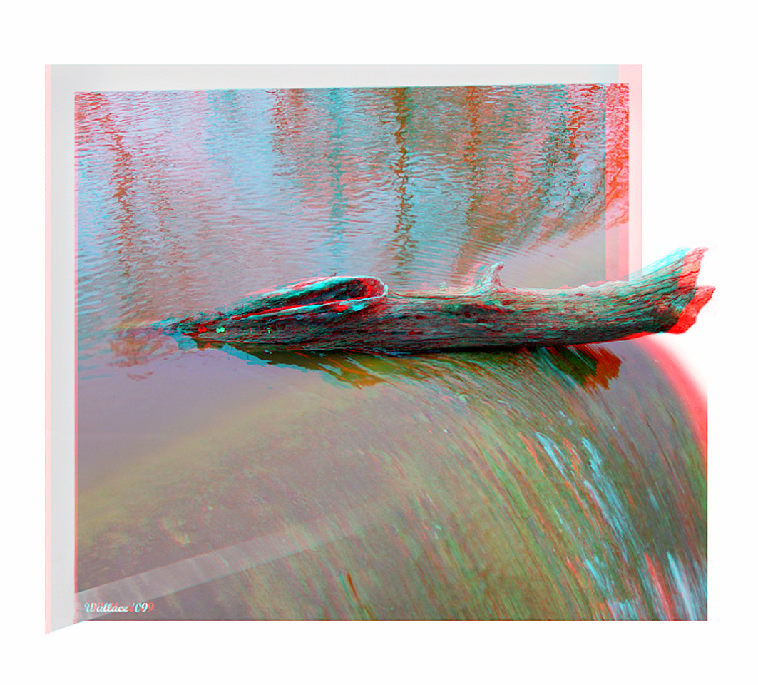
Wye Mills Lake Spill

Bloomfield Farm in Queen Anne's County, Md.

Bloomfield Farm in Queen Anne's County, Md.

Wye Mills Lake Spill

Bloomfield Farm in Queen Anne's County, Md.

Wye Mills Lake Spill

Wye Oak remains, 2004

Wye Mills Lake Spill

Crucifix, Catholic Cemetery, Rock Hall, Maryland

Old Wye Mill, Wye Mills, MD

Gray Kingbird in Maryland

Centreville Dam rock ramp, downstream view

2012-11-27 Ruff 3451

The Green Wheat Field
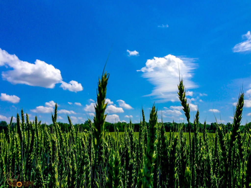
Green Wheat Stand Up
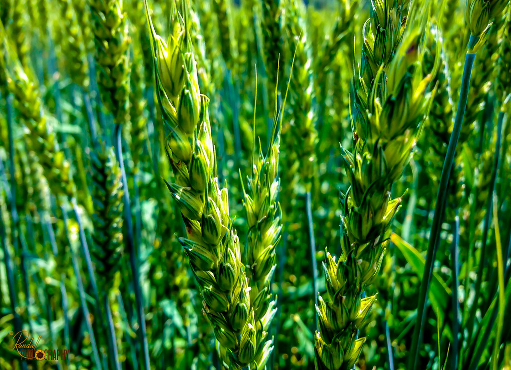
The Green Wheat

Eastern Neck National Wildlife Refuge

Serenity in Green

Agriculture in Queen Anne's County, Md.

Corsica River in Queen Anne's County, Md.

Eastern Neck National Wildlife Refuge controlled burn

20170720-IMG_2337
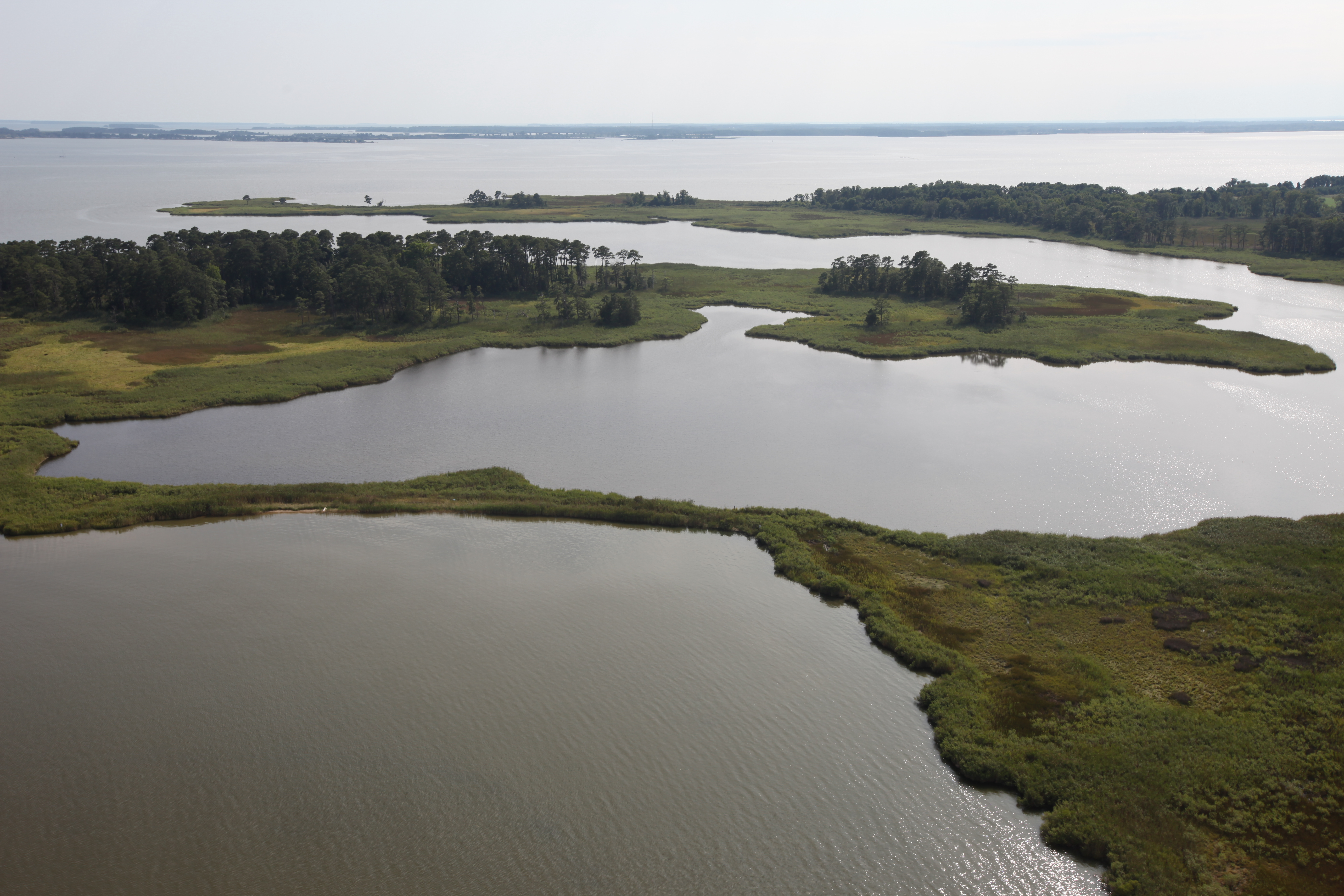
Hail Cove, Maryland

Riparian forest buffer in Queen Anne's County, Md.

Eastern Neck National Wildlife Refuge in Kent County, Md.

Route 301 in Queen Anne's County, Md.
Topographic Map of Quail Run Dr, Centreville, MD, USA
Find elevation by address:

Places near Quail Run Dr, Centreville, MD, USA:
208 Corsica St
Centreville
Fort Point Road
7 Cody Ln
111 Cody Ln
Little Kidwell Avenue
Centreville, MD, USA
3, Centreville
615 Little Kidwell Ave
218 Green St
122 Fair Brook Way
122 E Brook Dr
900 Spaniard Neck Rd
Symphony Way
126 Concerto Ave
340 Shrewsbury Farm Ln
Deerfield Ct, Centreville, MD, USA
Brick Schoolhouse Rd, Centreville, MD, USA
Queen Anne's County
Recovery Dr W, Centreville, MD, USA
Recent Searches:
- Elevation of Corso Fratelli Cairoli, 35, Macerata MC, Italy
- Elevation of Tallevast Rd, Sarasota, FL, USA
- Elevation of 4th St E, Sonoma, CA, USA
- Elevation of Black Hollow Rd, Pennsdale, PA, USA
- Elevation of Oakland Ave, Williamsport, PA, USA
- Elevation of Pedrógão Grande, Portugal
- Elevation of Klee Dr, Martinsburg, WV, USA
- Elevation of Via Roma, Pieranica CR, Italy
- Elevation of Tavkvetili Mountain, Georgia
- Elevation of Hartfords Bluff Cir, Mt Pleasant, SC, USA