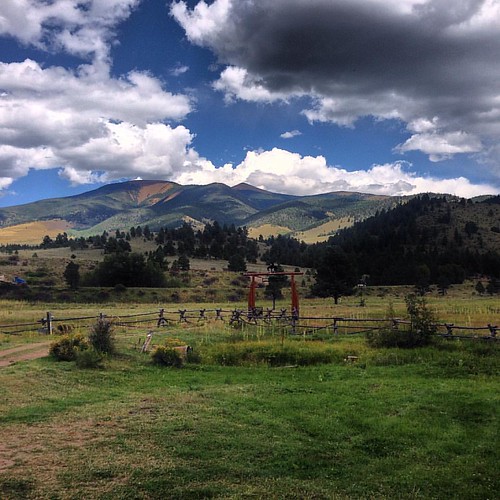
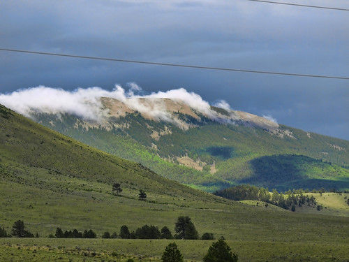
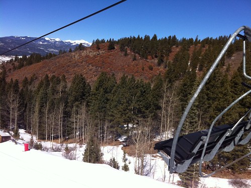
Elevation of Tolby Peak, New Mexico, USA
Location: United States > New Mexico > Colfax County > Cimarron >
Longitude: -105.17556
Latitude: 36.4892002
Elevation: 3513m / 11526feet
Barometric Pressure: 66KPa
Related Photos:
Topographic Map of Tolby Peak, New Mexico, USA
Find elevation by address:

Places near Tolby Peak, New Mexico, USA:
Garcia Peak
Green Mountain
Eagle Nest Lake State Park Campgrounds
Elk Lane Road
Eagle Nest
27736 Us-64
Eagle Nest Lake State Park
20 Golden Eagle Trail
41 Daisy Ln
41 Daisy Ln
42 Skyline Dr
42 Skyline Dr
Vietnam Veterans Memorial State Park
88 Back Basin Rd
US-64, Angel Fire, NM, USA
39 Alta Rd
Angel Fire Resort
Angel Fire
76 W Ridge Rd
NM-, Eagle Nest, NM, USA
Recent Searches:
- Elevation of Corso Fratelli Cairoli, 35, Macerata MC, Italy
- Elevation of Tallevast Rd, Sarasota, FL, USA
- Elevation of 4th St E, Sonoma, CA, USA
- Elevation of Black Hollow Rd, Pennsdale, PA, USA
- Elevation of Oakland Ave, Williamsport, PA, USA
- Elevation of Pedrógão Grande, Portugal
- Elevation of Klee Dr, Martinsburg, WV, USA
- Elevation of Via Roma, Pieranica CR, Italy
- Elevation of Tavkvetili Mountain, Georgia
- Elevation of Hartfords Bluff Cir, Mt Pleasant, SC, USA


