Elevation of 39 Alta Rd, Angel Fire, NM, USA
Location: United States > New Mexico > Colfax County > Angel Fire >
Longitude: -105.27605
Latitude: 36.3940708
Elevation: 2608m / 8556feet
Barometric Pressure: 74KPa
Elevation Map:
Satellite Map:
Related Photos:
A View from the balcony
Highway to Black Lakes B&W

Eagle Nest State Park beginning to ice over.
Road to Rain Black Lakes B&W

BlackLake Down Pour B&W
Panorama view from Black Mountain summit

Enchanted Moon Campground at Valle Escondido entrance.

View from our deck
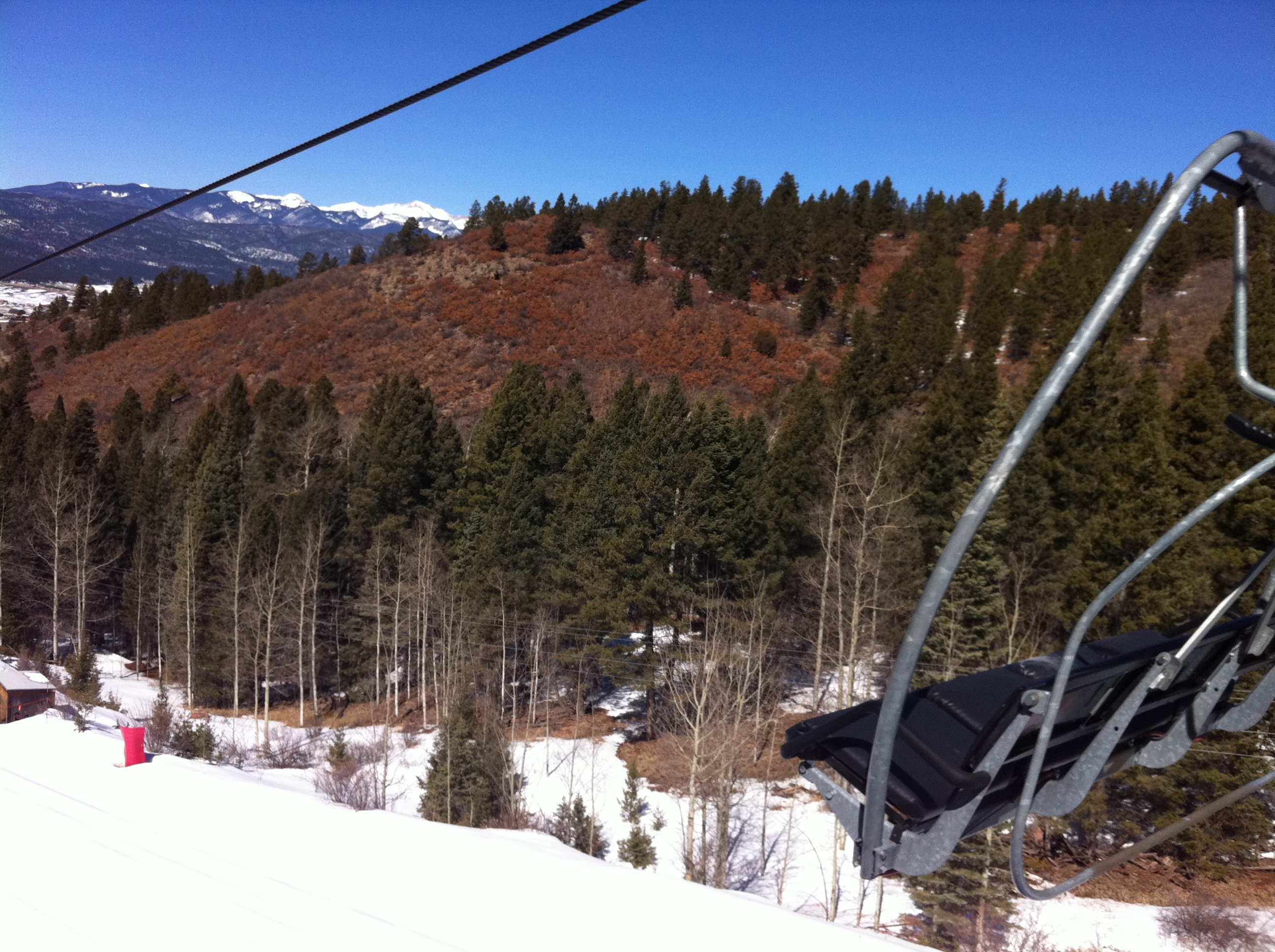
View from the lift

Elliot Barker is a great hiking and snow shoeing area.
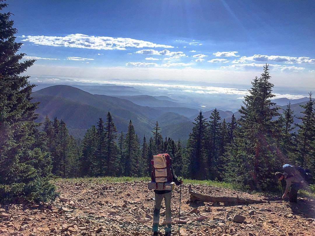
Another amazing view shot coming down from Mt. Phillips! I could have stayed and watched this view all day!
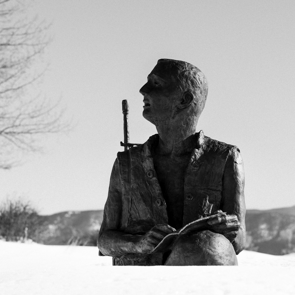
Angel Fire Memorial Statue

Angelfire Ski Resort New Mexico Snow Winter IMG_3499
20111015 Taos 046.jpg
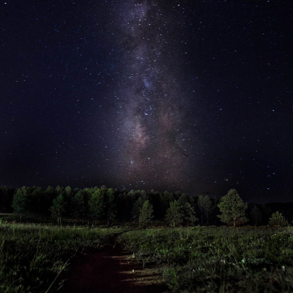
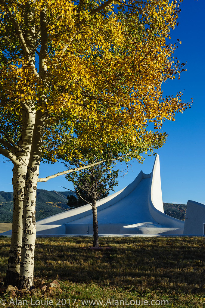
Path to the Stars

20111015 Taos 045.jpg

20111015 Taos 045.jpg
Several Days Later
Standing in the Valley
Philmont 2009 1268
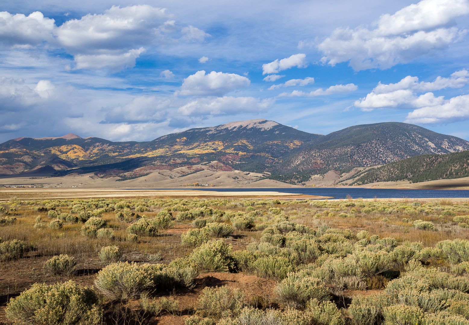
1561 - Enchanted Circle

Angle Fire, NM
Philmont 2009 1282
Storm Apache Springs

curve against landscape
Philmont 2009 1288
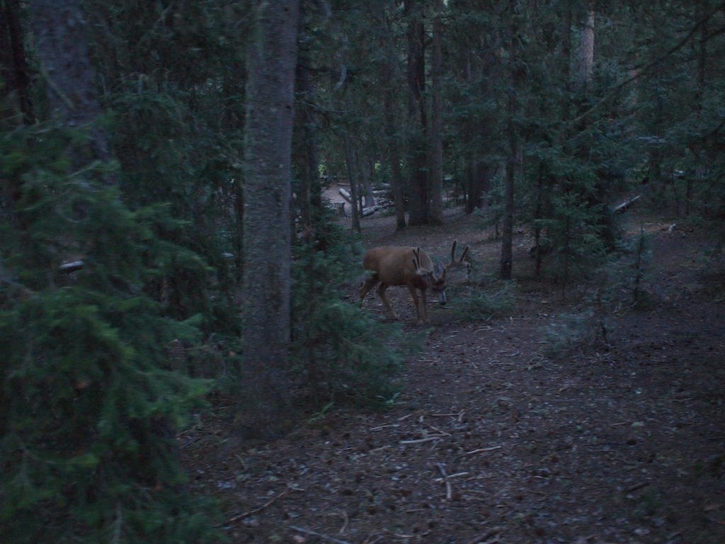
Philmont 2009 1267
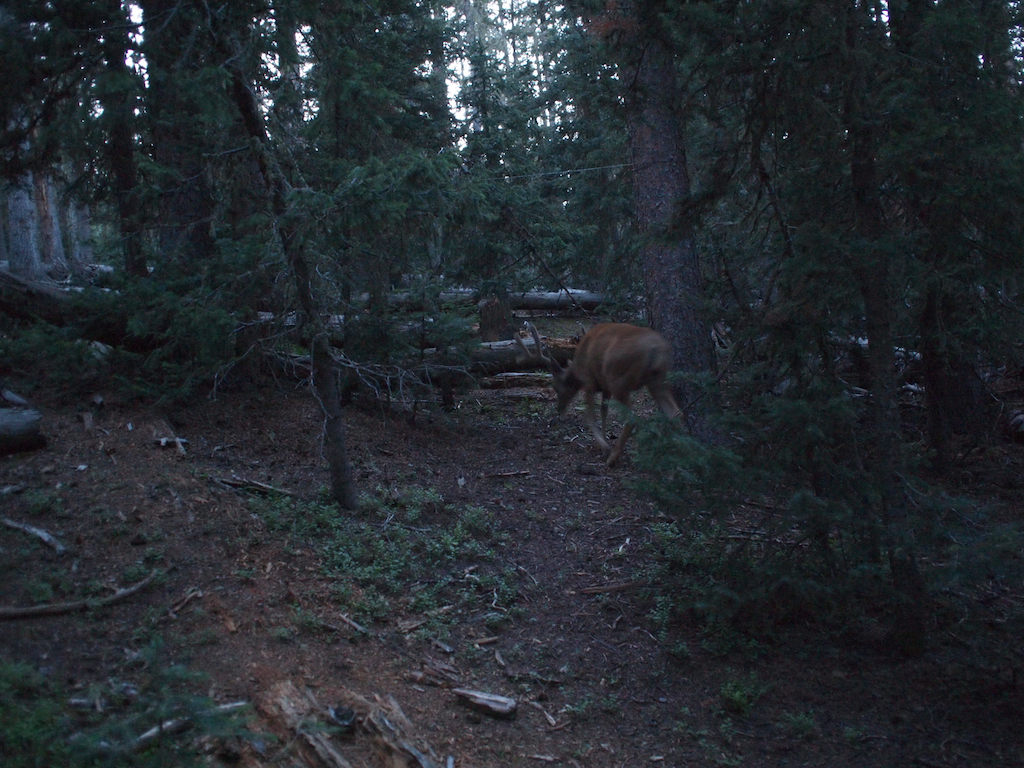
Philmont 2009 1270
Philmont 2009 1266
Philmont 2009 1286
Philmont 2009 1265
Philmont 2009 1283
Topographic Map of 39 Alta Rd, Angel Fire, NM, USA
Find elevation by address:

Places near 39 Alta Rd, Angel Fire, NM, USA:
Angel Fire Resort
88 Back Basin Rd
Angel Fire
76 W Ridge Rd
11 Quivera Cir
US-64, Angel Fire, NM, USA
Vietnam Veterans Memorial State Park
27736 Us-64
61 Pam Coleman Dr
225 Taos Pines Ranch Rd
Taos Pines Ranch Road
Garcia Peak
41 Daisy Ln
41 Daisy Ln
42 Skyline Dr
42 Skyline Dr
Tolby Peak
Elk Lane Road
Eagle Nest Lake State Park Campgrounds
Capulin Peak
Recent Searches:
- Elevation of Corso Fratelli Cairoli, 35, Macerata MC, Italy
- Elevation of Tallevast Rd, Sarasota, FL, USA
- Elevation of 4th St E, Sonoma, CA, USA
- Elevation of Black Hollow Rd, Pennsdale, PA, USA
- Elevation of Oakland Ave, Williamsport, PA, USA
- Elevation of Pedrógão Grande, Portugal
- Elevation of Klee Dr, Martinsburg, WV, USA
- Elevation of Via Roma, Pieranica CR, Italy
- Elevation of Tavkvetili Mountain, Georgia
- Elevation of Hartfords Bluff Cir, Mt Pleasant, SC, USA