Elevation of 20 Golden Eagle Trail, Eagle Nest, NM, USA

Location: United States > New Mexico > Eagle Nest >

Longitude: -105.26409

Latitude: 36.5601777

Elevation: 2523m / 8278feet

Barometric Pressure: 74KPa

Elevation Map:

elevation map of 20 Golden Eagle Trail, Eagle Nest, NM, USA

Satellite Map:

Satellite map of 20 Golden Eagle Trail, Eagle Nest, NM, USA

Related Photos:

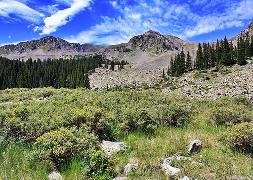
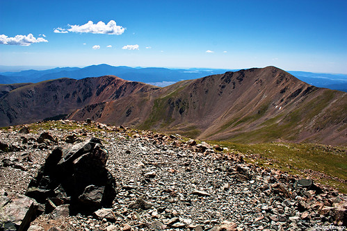
trees plants mountains newmexico clouds canon geotagged eos rebel rocks august scree 2010 xsi talus taosskivalley geo:lat=36556413850487296 geo:lon=10543008574106977
View from Williams Lake
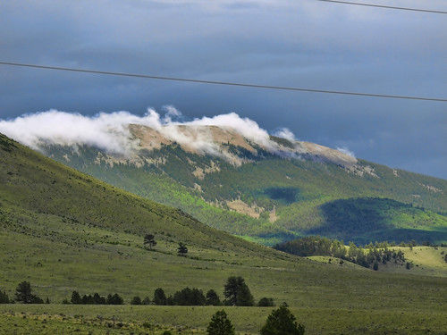
mountains newmexico cabin vaction enchantedcircle eaglenest ranchlife olympus510 cdiamondcranch
Eagle Nest New Mexico. C Diamond C Ranch
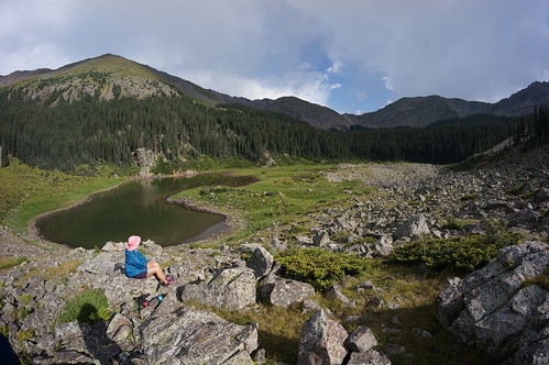
shadow lake newmexico alpine taos 8mm pinkhat wheelerpeak williamslake wheelerpeakwilderness bday2015 11040feet
180 degrees of Williams
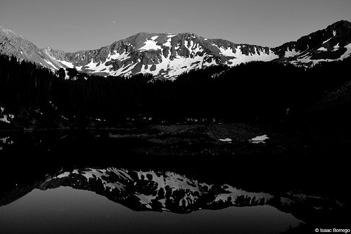
longexposure nightphotography sky moon snow mountains newmexico june night canon stars eos rebel lakes fullmoon alpine moonlight taos nm alpinelake xsi williamslake 2011 taosskivalley
Williams Lake Under the Full Moon - Taos Ski Valley, New Mexico
wheelerpeak newmexico highpoint mountain rockymountains rockies sangredecristorange scenery landscape view summit taoscounty nikon fm10 film
View from the summit
newmexico sangredecristomountains wheelerpeak
View from Wheeler Peak - New Mexico
wheelerpeak newmexico highpoint mountain rockymountains rockies sangredecristorange scenery landscape view summit taoscounty nikon fm10 film
View from the summit
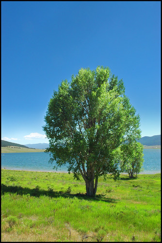
blue lake newmexico tree green circle niceshot lone nm enchanted eaglenest
Lone View
wheelerpeak newmexico highpoint mountain rockymountains rockies sangredecristorange scenery landscape view summit taosskivalley taoscounty nikon fm10 film
View of Taos Ski Valley
wheelerpeak newmexico highpoint mountain rockymountains rockies sangredecristorange scenery landscape view summit taoscounty nikon fm10 film
View from the summit
wheelerpeak newmexico highpoint mountain rockymountains rockies sangredecristorange scenery landscape view summit taoscounty nikon fm10 film
View from the summit
wheelerpeak newmexico highpoint mountain rockymountains rockies sangredecristorange scenery landscape view mtwalter taoscounty nikon fm10 film
Mt. Walter and Wheeler Peak
wheelerpeak newmexico highpoint mountain rockymountains rockies sangredecristorange scenery landscape view taoscounty nikon fm10 film
Descending from Wheeler Peak
geotagged geo:lat=365366166666667 geo:lon=105264680555556
Eagle Nest State Park beginning to ice over.
williamslake lake wheelerpeak newmexico highpoint mountain rockymountains rockies sangredecristorange scenery landscape view taoscounty nikon fm10 film
Williams Lake
newmexico unitedstates scouts philmont cimarron
Panorama view from Window Rock
williamslake lake wheelerpeak newmexico highpoint mountain rockymountains rockies sangredecristorange scenery landscape view taoscounty nikon fm10 film
Williams Lake
Cimarron Canyon State Park
wheelerpeak newmexico highpoint mountain rockymountains rockies sangredecristorange scenery landscape view taoscounty nikon fm10 film
View of Wheeler Peak
newmexico unitedstates scouts philmont cimarron
Panorama view of Beaubien Meadow
newmexico 1970 philmont bsa boyscoutsofamerica
View from Baldy
uploadedviaflickrqcom snow storm mountains forest taosskivalley taos newmexico canonrebelt4i
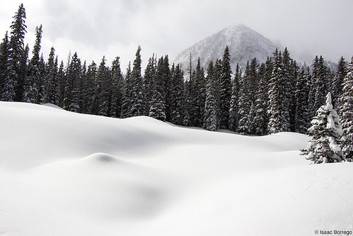
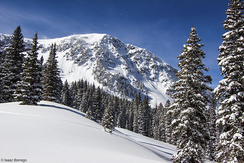
Blanket of Snow
uploadedviaflickrqcom snow storm mountains forest williamslake wheelerpeak taosskivalley taos newmexico canonrebelt4i
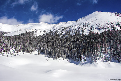
New Mexico's Highest
uploadedviaflickrqcom snow storm mountains forest williamslake taosskivalley taos newmexico canonrebelt4i
Clouds over the Basin
people usa mountain mountains newmexico nature berg rock stone clouds america shadows unitedstates hiking unitedstatesofamerica natur wolken peak menschen berge rockymountains amerika horseshoelake schatten wandern sangredecristomountains gipfel vereinigtestaaten vereinigtestaatenvonamerika sangredecristorange neumexiko
Way Up The Mountain
uploadedviaflickrqcom snow storm mountains forest williamslake taosskivalley taos newmexico canonrebelt4i
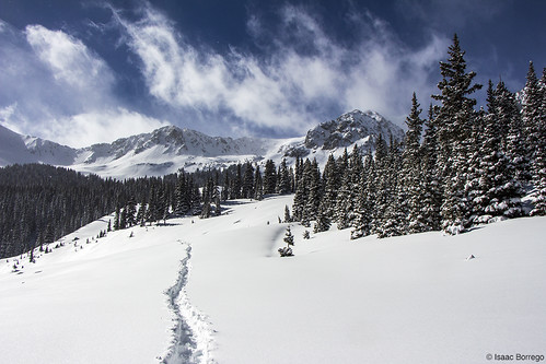
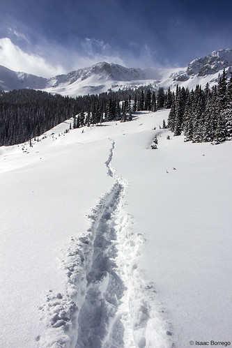
Well Defined Path
uploadedviaflickrqcom snow storm mountains forest williamslake taosskivalley taos newmexico canonrebelt4i
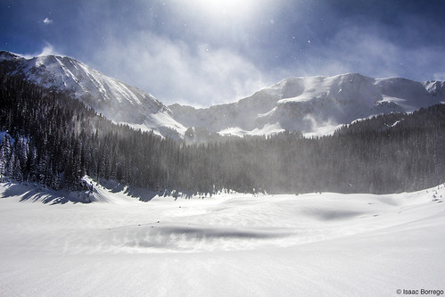
Williams Lake in Winter
uploadedviaflickrqcom snow storm mountains forest williamslake taosskivalley taos newmexico canonrebelt4i
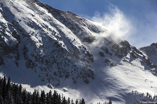
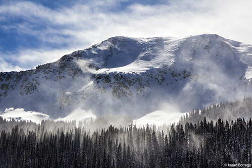
Blowing Snow Up High
uploadedviaflickrqcom snow mountains forest taosskivalley taos newmexico canonrebelt4i
Kachina Peak
longexposure newmexico landscape outdoors waterfall nikon stream hiking nd redriver enchantedcircle d5000 hoyand400 uploaded:by=flickrmobile flickriosapp:filter=nofilter sportsmancabin
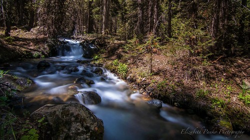
Down by the river...
uploadedviaflickrqcom snow storm mountains forest williamslake taosskivalley taos newmexico canonrebelt4i
Peak above the Lake
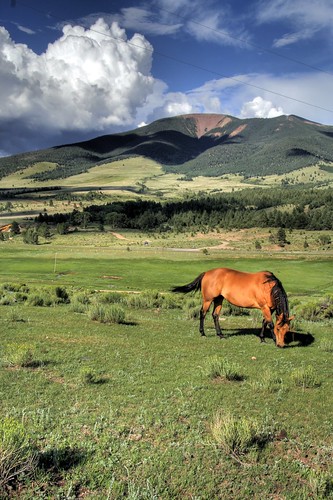
new horse mexico country fields pastures taos nm joeldeluxe hdr angelfire enchantedcircle elizabethtown eaglenest cimmaron
Cimarron Country
offflash hipstamatic lucifervilens blackeysbwfilm
HIP_305411720.698962
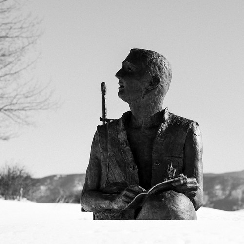
2016 angelfire bluestarmemorialbyway carsonnationalforest february h5d50c hasselblad mabrycampbell newmexico usa unitedstatesofamerica blackandwhite cold commercialphotography countryside fineart fineartphotography image landscape man memorial person photo photograph photographer photography snow soldier squarecrop statue white winter f56 february62016 20160206campbellb0000651 80mm ¹⁄₈₀₀sec 100 hc80 fav10
Angel Fire Memorial Statue
mountain newmexico rural america walking landscape outdoors countryside unitedstates pentax hiking scenic wheeler hillwalking sangredecristomountains wheelerpeak taoscounty taosskivalley statehighpoint bullofthewoodstrail wheelerpeaktrail georgemontaguewheeler
Wheeler Peak
offflash hipstamatic lucifervilens blackeysbwfilm
HIP_305411684.661851
summer sky dog mountains newmexico green water grass animal forest landscape afternoon taos germanshepherd williamslake taosnewmexico taosskivalley laketrees
Taos at Taos Ski Valley Williams Lake
usa newmexico unitedstates
1561 - Enchanted Circle