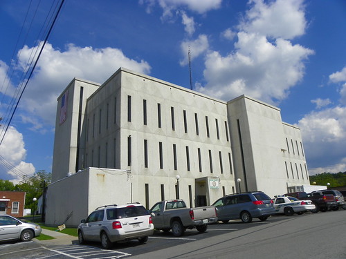
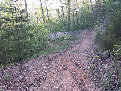
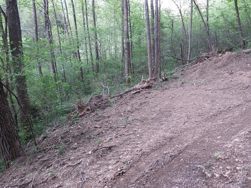
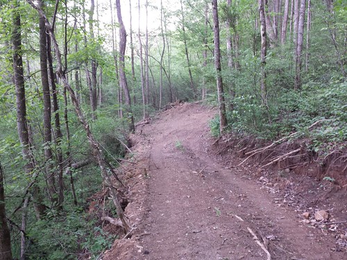
Elevation of TN-33, New Tazewell, TN, USA
Location: United States > Tennessee > Claiborne County > New Tazewell >
Longitude: -83.717671
Latitude: 36.365101
Elevation: 323m / 1060feet
Barometric Pressure: 98KPa
Related Photos:
Topographic Map of TN-33, New Tazewell, TN, USA
Find elevation by address:

Places near TN-33, New Tazewell, TN, USA:
300 Molly Hollow Rd
174 Keck Cemetery Ln
115 Post Master Rd
164 Gray Rd
224 Sugar Limb Rd
236 Sugar Limb Rd
Kettle Hollow Rd, Maynardville, TN, USA
280 Holloway Rd
Sharps Chapel Road
Sharps Chapel
Union County
Hickory Pointe Lane
397 Spring Creek Rd
334 Hubbs Grove Rd
108 Gregory Ln
Hickory Valley Rd, Maynardville, TN, USA
Zachary Ridge Road
Serenity Ridge Road
112 Lick Skillet Rd
279 Fox Hunter Rd
Recent Searches:
- Elevation of Corso Fratelli Cairoli, 35, Macerata MC, Italy
- Elevation of Tallevast Rd, Sarasota, FL, USA
- Elevation of 4th St E, Sonoma, CA, USA
- Elevation of Black Hollow Rd, Pennsdale, PA, USA
- Elevation of Oakland Ave, Williamsport, PA, USA
- Elevation of Pedrógão Grande, Portugal
- Elevation of Klee Dr, Martinsburg, WV, USA
- Elevation of Via Roma, Pieranica CR, Italy
- Elevation of Tavkvetili Mountain, Georgia
- Elevation of Hartfords Bluff Cir, Mt Pleasant, SC, USA
