Elevation of Lick Skillet Rd, Maynardville, TN, USA
Location: United States > Tennessee > Union County > Maynardville >
Longitude: -83.809987
Latitude: 36.2816604
Elevation: 338m / 1109feet
Barometric Pressure: 97KPa
Elevation Map:
Satellite Map:
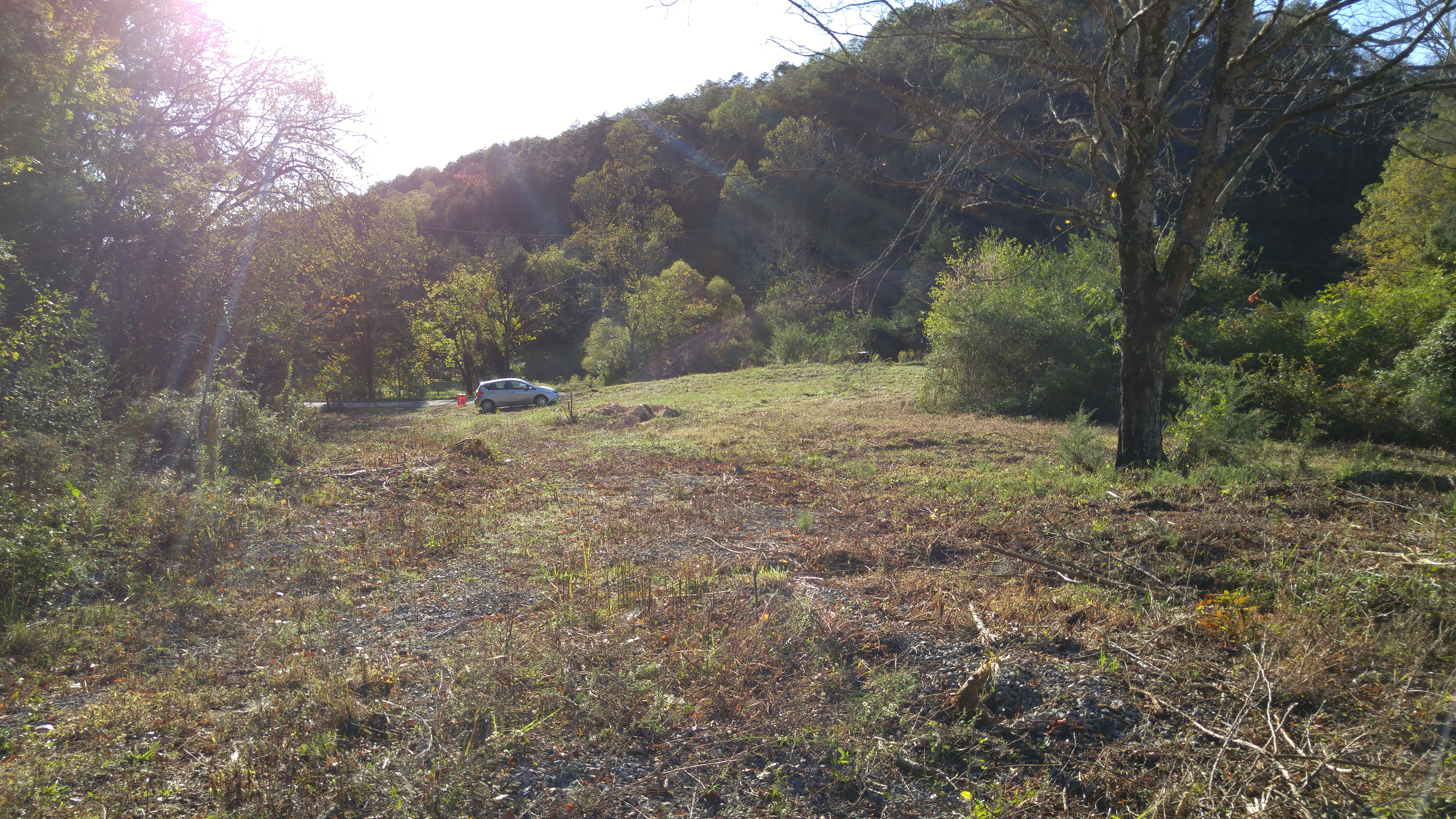
Related Photos:

Historic Maynardville State Bank - Maynardville, Tennessee

View from the Vestibule

W. Graham Claytor's Marker Light

Swamp Rose Mallow 110-1045_IMG.jpg
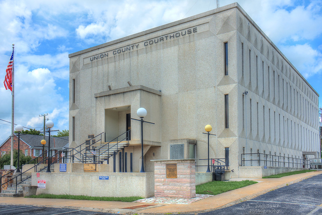
Union County, TN Courthouse - Maynardville, TN
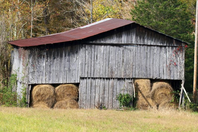
Tennessee Hay Barn

Tennessee Barn
Tennessee Barn

Old Tennessee Store Gable
Old Tennessee One Room Schoolhouse

VICKS VAPORUB SIGN! EASES MISERIES OF COLDS Sign

Tennessee Barn
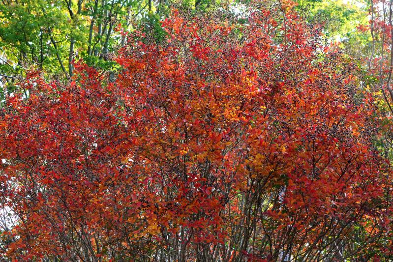
Fall on Norris Lake TN

Tennesee Ivy Covered Barn

Fall on Norris Lake TN

Tennessee Barn
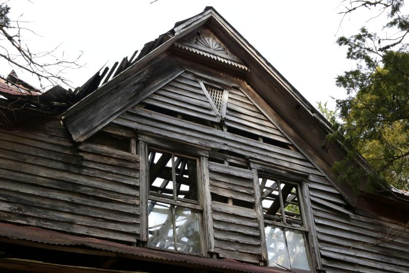
Old Tennessee Store

Union County Courthouse - Rear View

Coca Cola & Mountain Dew Sign

Tennessee Royal Crown Cola Sign

Stand Alone Fireplace

Signal Point

let the waters tell the story

Last Cove
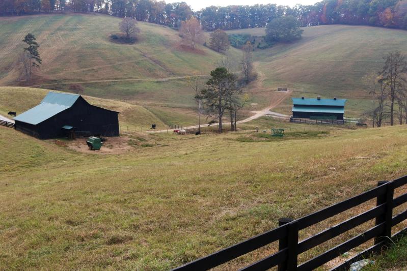
Tennesee Cattle Ranch

Panoramic View of Loyston

Fall on Norris Lake TN

Sunrise over norris lake

Norris Lake

2016-02-02 10.25.19
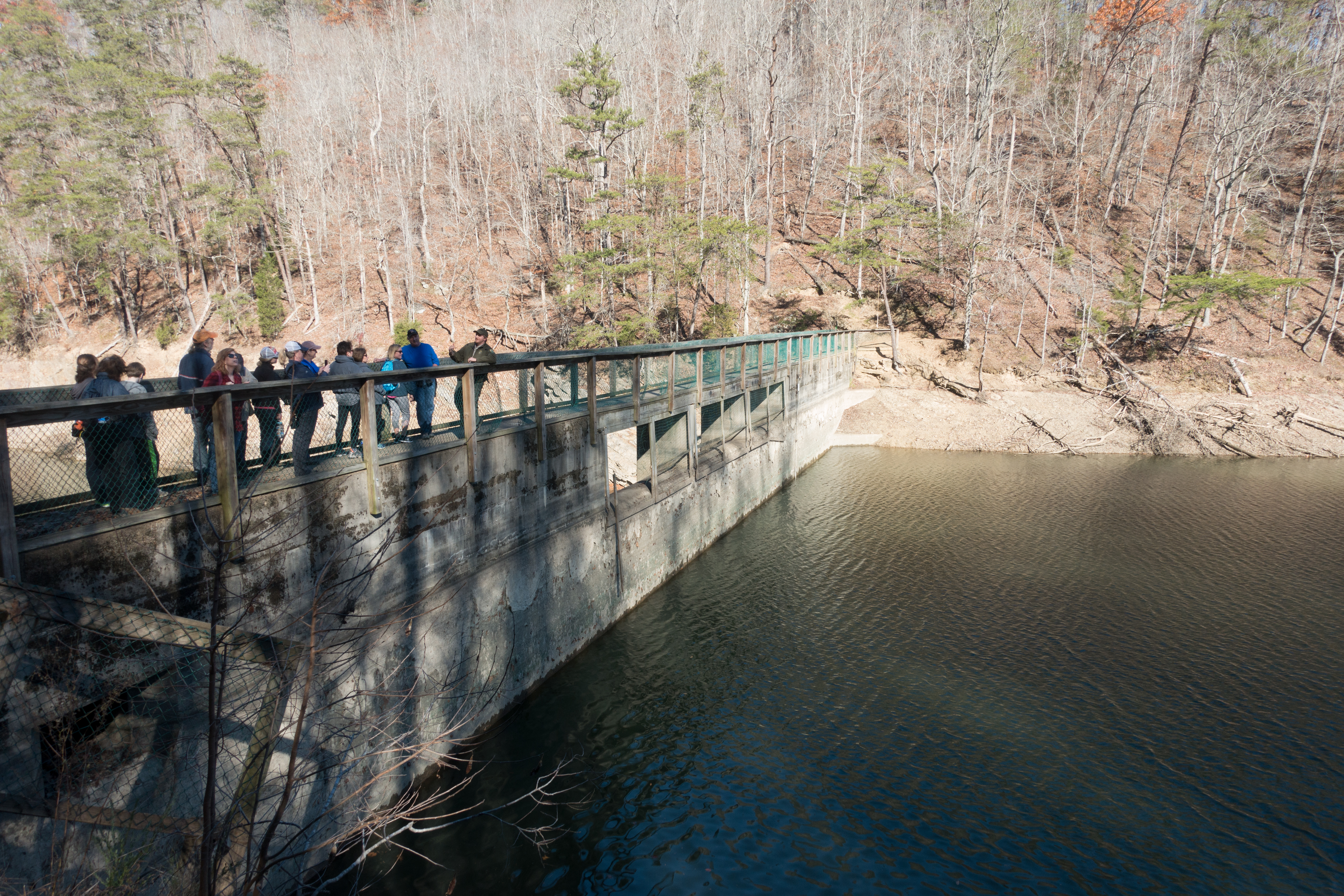
Big Ridge Dam

2016-02-02 10.13.27

Big Ridge Dam

2015-10-14 17.30.57

Loyston Point 2012

2015-10-14 17.31.15

Loyston Point 2012

Loyston Point 2012

Loyston Point 2012
2015-10-14 17.30.27

Fall on Norris Lake TN

2016-02-02 10.04.58
Topographic Map of Lick Skillet Rd, Maynardville, TN, USA
Find elevation by address:

Places near Lick Skillet Rd, Maynardville, TN, USA:
Hickory Valley Rd, Maynardville, TN, USA
Hickory Valley Rd, Maynardville, TN, USA
1983 Hickory Valley Rd
2094 Hickory Valley Rd
279 Fox Hunter Rd
Hickory Pointe Lane
Maynardville, TN, USA
Maynardville
Union County
Ridgeview Cir, Sharps Chapel, TN, USA
236 Sugar Limb Rd
224 Sugar Limb Rd
108 Gregory Ln
334 Hubbs Grove Rd
109 Blue Diamond Point
356 Lakeview Dr
Kettle Hollow Rd, Maynardville, TN, USA
Sharps Chapel
Sharps Chapel Road
Edith Lane
Recent Searches:
- Elevation of Corso Fratelli Cairoli, 35, Macerata MC, Italy
- Elevation of Tallevast Rd, Sarasota, FL, USA
- Elevation of 4th St E, Sonoma, CA, USA
- Elevation of Black Hollow Rd, Pennsdale, PA, USA
- Elevation of Oakland Ave, Williamsport, PA, USA
- Elevation of Pedrógão Grande, Portugal
- Elevation of Klee Dr, Martinsburg, WV, USA
- Elevation of Via Roma, Pieranica CR, Italy
- Elevation of Tavkvetili Mountain, Georgia
- Elevation of Hartfords Bluff Cir, Mt Pleasant, SC, USA