Elevation of Hickory Valley Rd, Maynardville, TN, USA
Location: United States > Tennessee > Union County > Maynardville >
Longitude: -83.800068
Latitude: 36.287912
Elevation: 335m / 1099feet
Barometric Pressure: 97KPa
Elevation Map:
Satellite Map:
Related Photos:
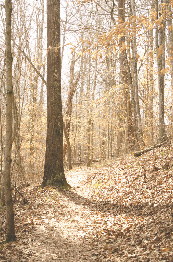
On the Path

View from the Vestibule

W. Graham Claytor's Marker Light

Swamp Rose Mallow 110-1045_IMG.jpg
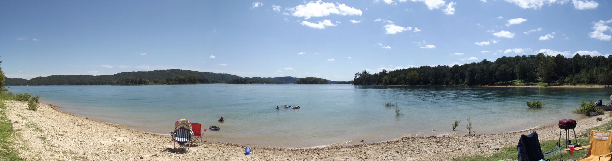
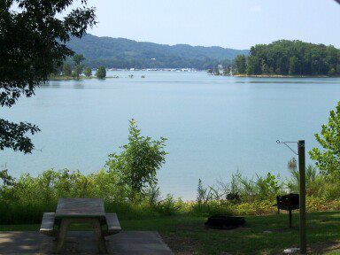
Panoramic View of Loyston
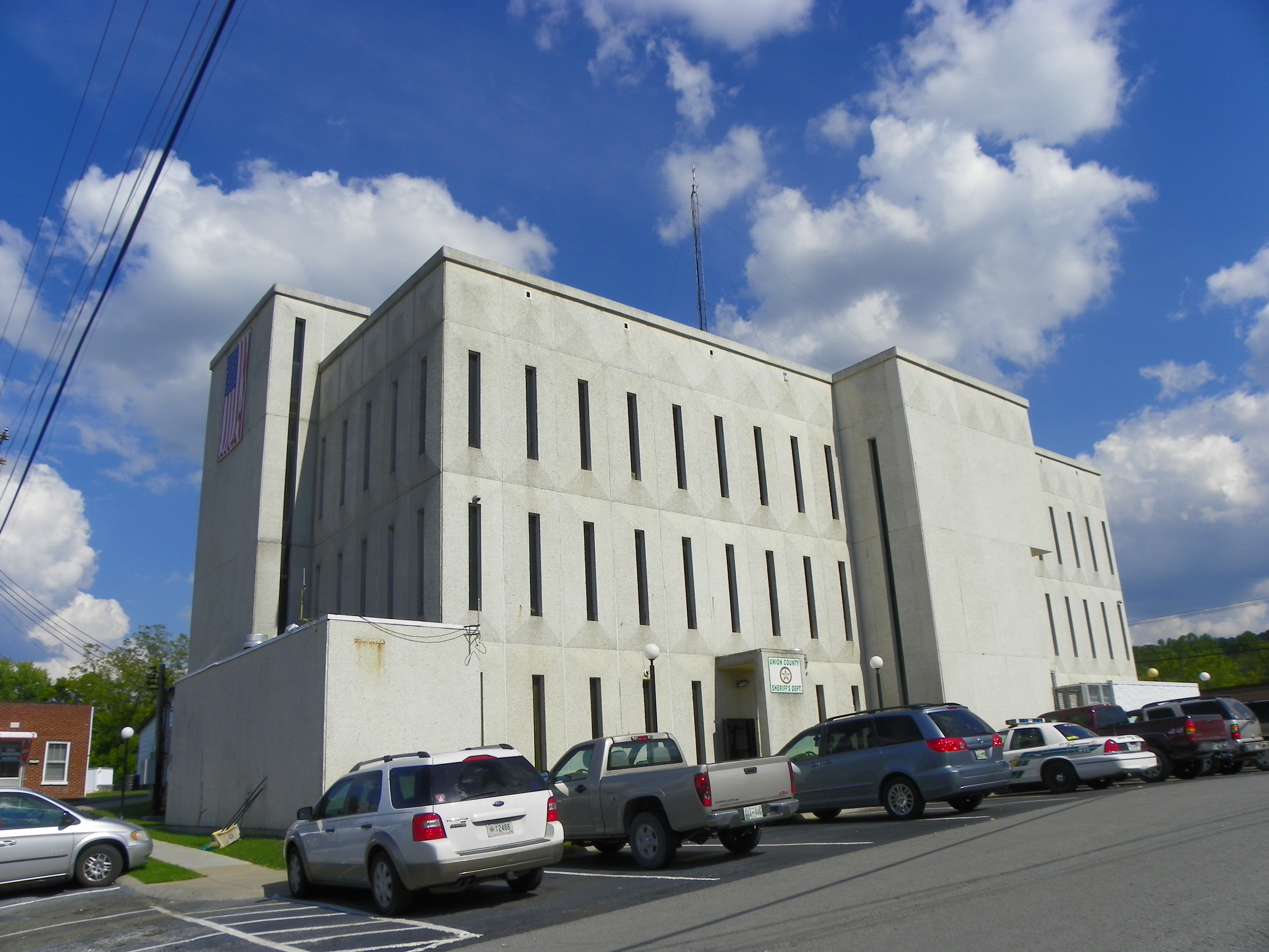
Union County Courthouse - Rear View
Signal Point

Sunrise over norris lake

2012-06-09_14-04-18_829

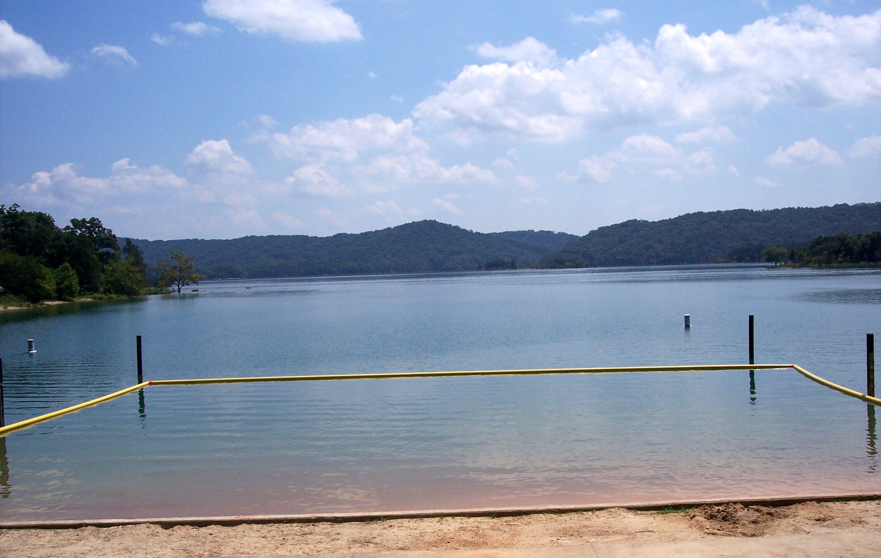
let the waters tell the story
2014-10-16 11.02.21

IMG_2033.JPG

2012-06-09_14-06-06_622

D_MG_4895-Edit

Last Cove
2014-10-16 10.54.58

2012-06-23_20-12-16_919
2014-10-16 10.53.44

2012-10-06_08-12-03_833.jpg
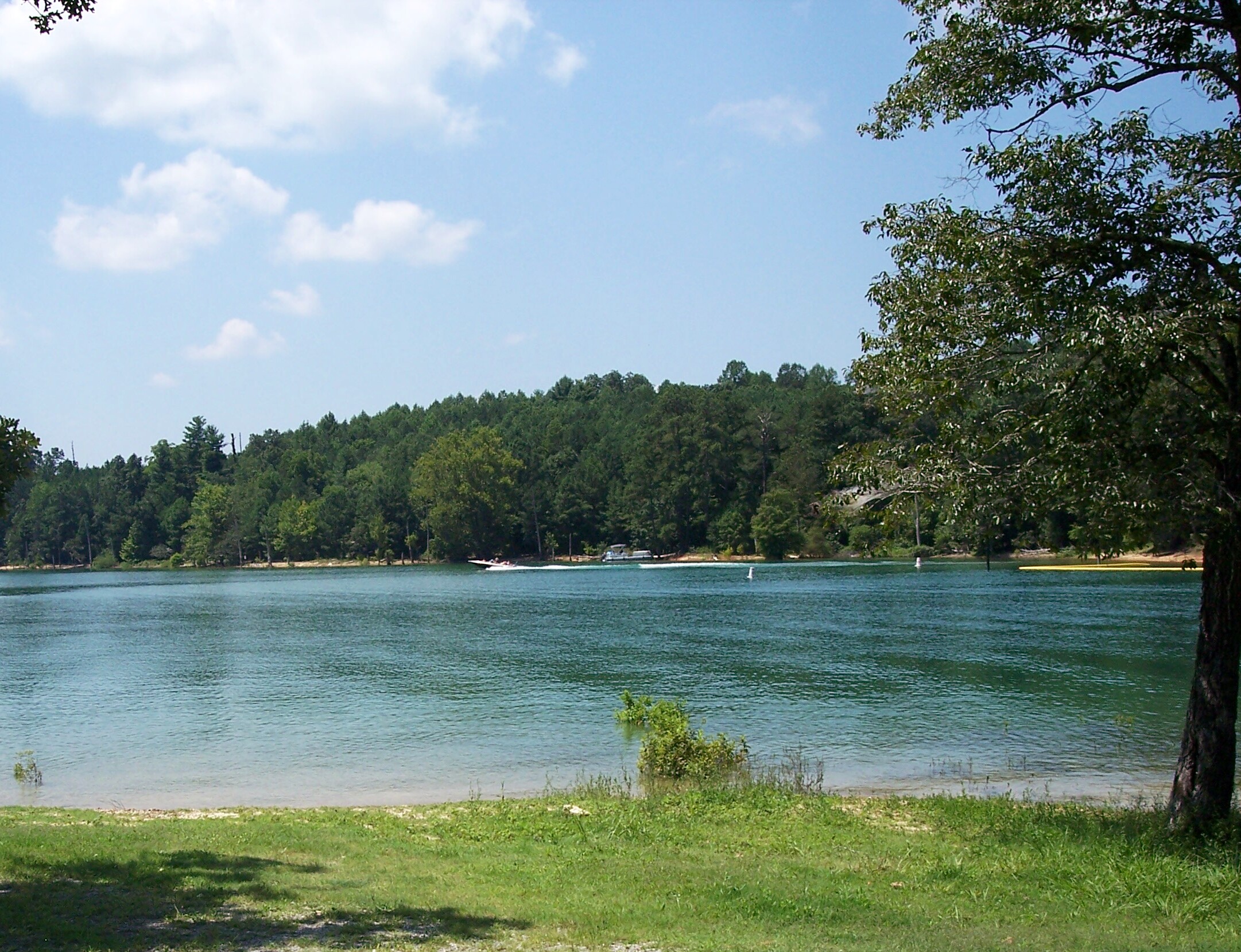
Loyston Point 2012

2014-10-16 10.54.50
Loyston Point 2012
Loyston Point 2012
Loyston Point 2012

2012-06-10_12-24-33_766
Topographic Map of Hickory Valley Rd, Maynardville, TN, USA
Find elevation by address:

Places near Hickory Valley Rd, Maynardville, TN, USA:
112 Lick Skillet Rd
Hickory Pointe Lane
Hickory Valley Rd, Maynardville, TN, USA
1983 Hickory Valley Rd
279 Fox Hunter Rd
Union County
236 Sugar Limb Rd
2094 Hickory Valley Rd
224 Sugar Limb Rd
Maynardville
108 Gregory Ln
Maynardville, TN, USA
334 Hubbs Grove Rd
Kettle Hollow Rd, Maynardville, TN, USA
Ridgeview Cir, Sharps Chapel, TN, USA
Sharps Chapel
Sharps Chapel Road
109 Blue Diamond Point
356 Lakeview Dr
280 Holloway Rd
Recent Searches:
- Elevation of Corso Fratelli Cairoli, 35, Macerata MC, Italy
- Elevation of Tallevast Rd, Sarasota, FL, USA
- Elevation of 4th St E, Sonoma, CA, USA
- Elevation of Black Hollow Rd, Pennsdale, PA, USA
- Elevation of Oakland Ave, Williamsport, PA, USA
- Elevation of Pedrógão Grande, Portugal
- Elevation of Klee Dr, Martinsburg, WV, USA
- Elevation of Via Roma, Pieranica CR, Italy
- Elevation of Tavkvetili Mountain, Georgia
- Elevation of Hartfords Bluff Cir, Mt Pleasant, SC, USA