Elevation of Tire Hill Road, Tire Hill Rd, Pennsylvania, USA

Location: United States > Pennsylvania > Somerset County > Conemaugh Township >

Longitude: -78.912359

Latitude: 40.2577514

Elevation: 450m / 1476feet

Barometric Pressure: 96KPa

Elevation Map:

elevation map of Tire Hill Road, Tire Hill Rd, Pennsylvania, USA

Satellite Map:

Satellite map of Tire Hill Road, Tire Hill Rd, Pennsylvania, USA

Related Photos:

qhyccd qhy hyperstar astronomy astrophotography celestron edgehd orion alnilam mintaka optolong alnitak
At the Belt of Orion
hybrid sct dlsr refractor ngc2264 conenebula Astrometrydotnet:status=solved Astrometrydotnet:version=14400 qhy9m Astrometrydotnet:id=alpha20130233422578
NGC 2264 CCD/DSLR Hybrid V2
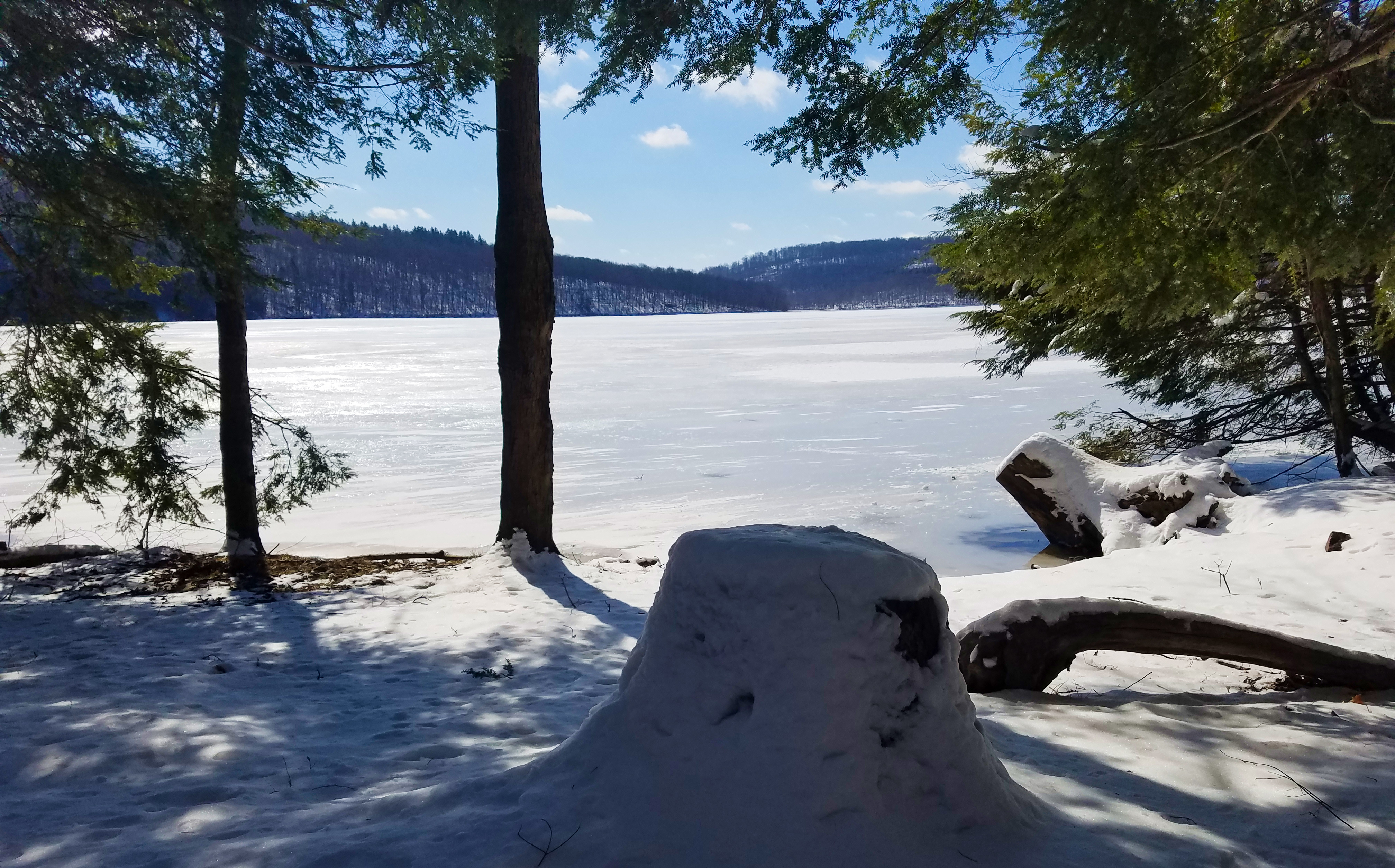
A stumped view.
county bridge snow tree photo pentax pennsylvania picture somerset historic pa covered coveredbridge township johnstown truss shaffer twp conemaugh 5641 burrarch k10d benscreek
Shaffer Bridge -- Somerset County, Pennsylvania
pennsylvania posterized johnstown inclinedplane neighborhoody
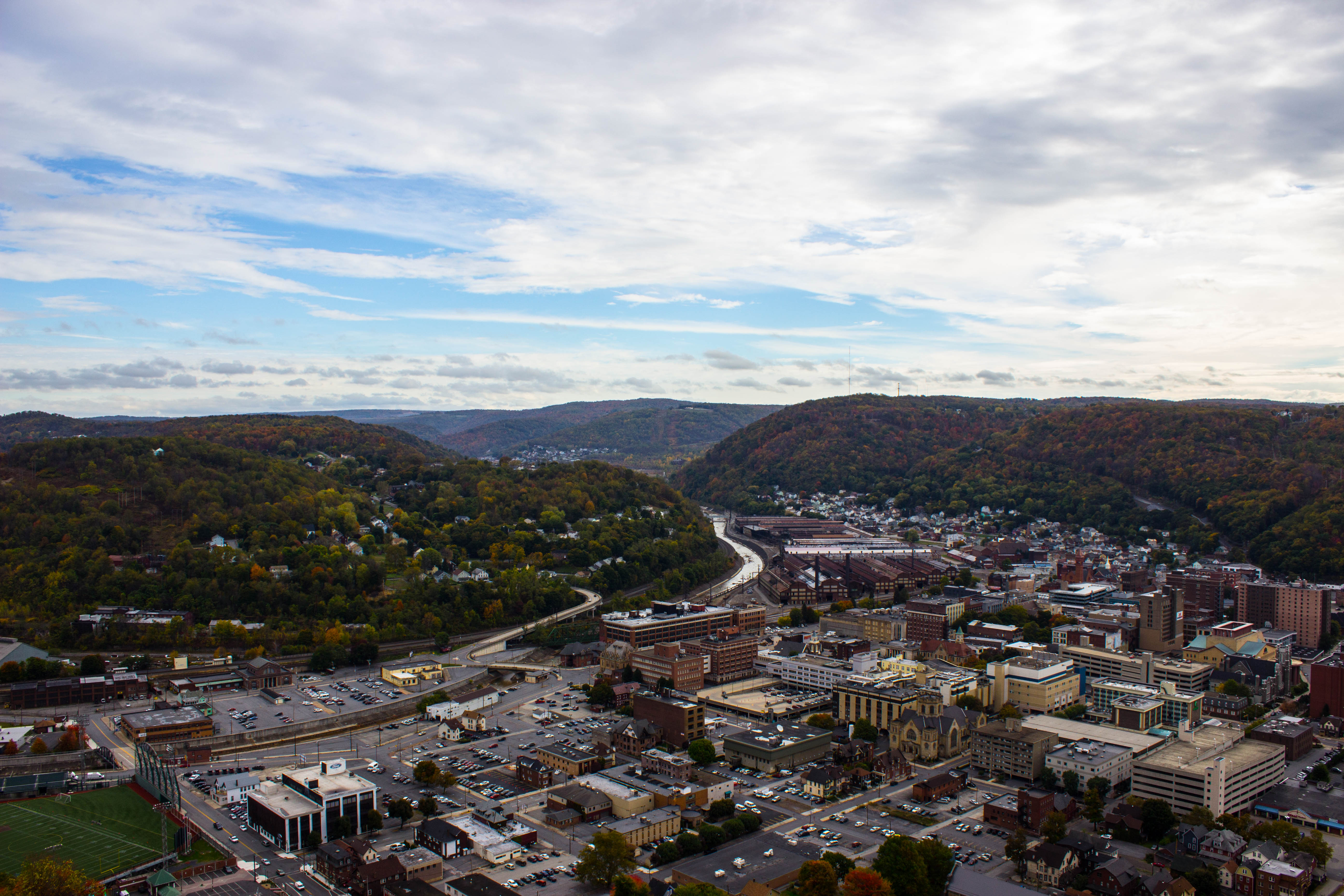
Johnstown, PA -view from top of the inclined plane
auto county roof hot ford car yellow photo model automobile jay pentax pennsylvania picture engine pa vehicle rod chopped cambria johnstown 1930 wolk 5009 z34 a k10d tciframe
1930 Ford Model A Hot Rod
auto county roof hot ford car yellow photo model automobile jay pentax pennsylvania picture engine pa vehicle rod chopped cambria johnstown 1930 wolk z34 a k10d 4986 tciframe
1930 Ford Model A Hot Rod
auto county roof hot ford car yellow photo model automobile jay pentax pennsylvania picture engine pa dash vehicle rod chopped dashboard cambria johnstown 1930 wolk 5004 z34 a k10d tciframe
1930 Ford Model A Hot Rod
auto county roof hot ford car yellow photo model automobile jay pentax pennsylvania picture engine pa vehicle rod chopped cambria johnstown 1930 wolk z34 a 4985 k10d tciframe
1930 Ford Model A Hot Rod
park county field river photo baseball pentax pennsylvania stadium picture pa tournament cambria concourse johnstown stoneycreek k10d pointstadium aaaba
Concourse, Point Stadium - Johnstown, Pennsylvania
park county mountains field photo highlands baseball pentax pennsylvania stadium picture ridge pa tournament laurel cambria allegheny johnstown k10d pointstadium aaaba
View from Rightfield Bleachers, Point Stadium - Johnstown, Pennsylvania
park county field photo baseball pentax pennsylvania stadium picture pa tournament cambria johnstown k10d pointstadium aaaba
Point Stadium - Johnstown, Pennsylvania
pennsylvania pa johnstownpa inclinedplane cambriacounty cambriaironcompany viewfromthetopoftheinclinedplane cambriasteelco
Johnstown Pennsylvania, Cambria Iron Company
sky night canon stars star space cluster lagoon sagittarius telescope nebula astrophotography orion m8 astronomy t3 dslr messier deepspace 1100 t3i refractor 102mm 600d nebulosity Astrometrydotnet:status=solved messier8 Astrometrydotnet:version=14400 Astrometrydotnet:id=alpha20120604384780
M 08 The Lagoon Nebula
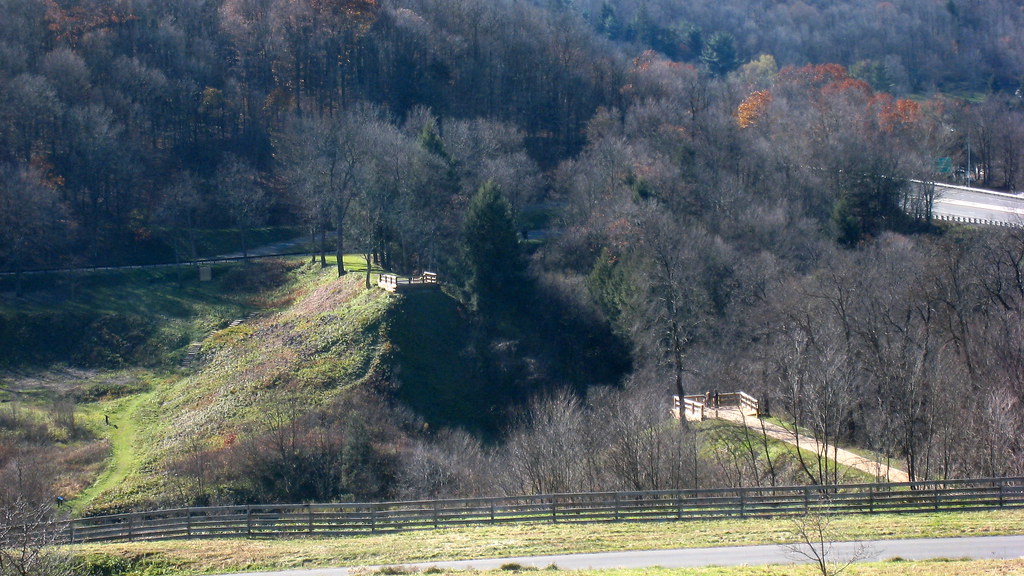
A View of the Mountains...
johnstownpa inclinedplane pennsylvania pa johnstownpennsylvania inclined warehouse industrial inclinetracks cityofjohnstown
Stone Arch Bridge, Warehouse and Industrial area in Johnstown Pennsylvania
county winter red snow tree barn photo pentax pennsylvania farm picture somerset pa township twp conemaugh k10d 5709ed1
Soap Hollow Road Barn -- Somerset County, Pennsylvania
pennsylvania tracks pa johnstownpa inclined inclinedplane johnstownfloodmuseum cityofjohnstown inclinetracks
Johnstown PA Inclined Plane tracks and a city view
usa pennsylvania southfork johnstownflood johnstownfloodnationalmemorial lakeconemaugh littleconemaughriver railropad southforkcreek
South Fork Valley
panorama clouds buildings town unitedstates pennsylvania mining powerplant hugin windber industrialbuildings mine40 smcpa28mmf28 panoramaoutput
Mine 40 near Windber, PA
hand frog leopardfrog
what a view!
Blue skies of Pennsylvania.
railroad train us unitedstates pennsylvania ns foggy trains johnstown norfolksouthern intermodal dash9 stacktrain containertrain conemaughriver nspittsburghline ns9732 ns21q sanghollow sanghollowextension
Sang Hollow Extension
train trains emd sw7 locomotive switching shortline short line urbna steel mill rails sunrise snow cold shop conemaugh black lick cbl 104 johnstown pa pennsylvania
The Yellow Switcher
water cloudy
Hinckston Run Reservoir
Morning Light in Pennsylvania.
pennsylvania nationalmemorial saintmichael nationalregister nationalregisterofhistoricplaces cambriacounty johnstownfloodnationalmemorial southforkdam
Johnstown Flood NM PA 3
city bridge abstract reflection building nature landscape design cityscape unitedstates pennsylvania decay urbandecay explorer citylife pa attractive recycle sacrifice johnstown urbanlife johnstownpa riveradventure greenplanet canoncamera historicallandmark abanoned canon60d conemaughriver garysprague betryal explorepa urbanrenewel
Conemaugh River Quest
water rock waterfall rocks 1855mm hdr photomatix mirrorless hdrextremes hdraddicted flickhdr sonynex5n paintfalls
Paint Falls Side Waterfall
usa pennsylvania southfork johnstownflood johnstownfloodnationalmemorial lakeconemaugh littleconemaughriver southforkcreek
South Fork Dam
pennsylvania nationalmemorial saintmichael nationalregister nationalregisterofhistoricplaces cambriacounty johnstownfloodnationalmemorial southforkdam
Johnstown Flood NM PA 1
Quemahoning Dam
pa davidsville
grandma's farm
nspittsburghline ns25z ns4134 geac44c6m
NS 25Z at South Fork, Pennsylvania on August 29, 2018
bridge plane buildings landscape town site flood pennsylvania small tourist pa incline johnstown
Looking out at johnstown pa
Fall leaves 2012
Photo Aug 10, 11 49 55 (1)
f16woo54 gallitzinstateforest somersetcounty clearshadebog peatlandsproject site landscape redboglet
red boglet_1
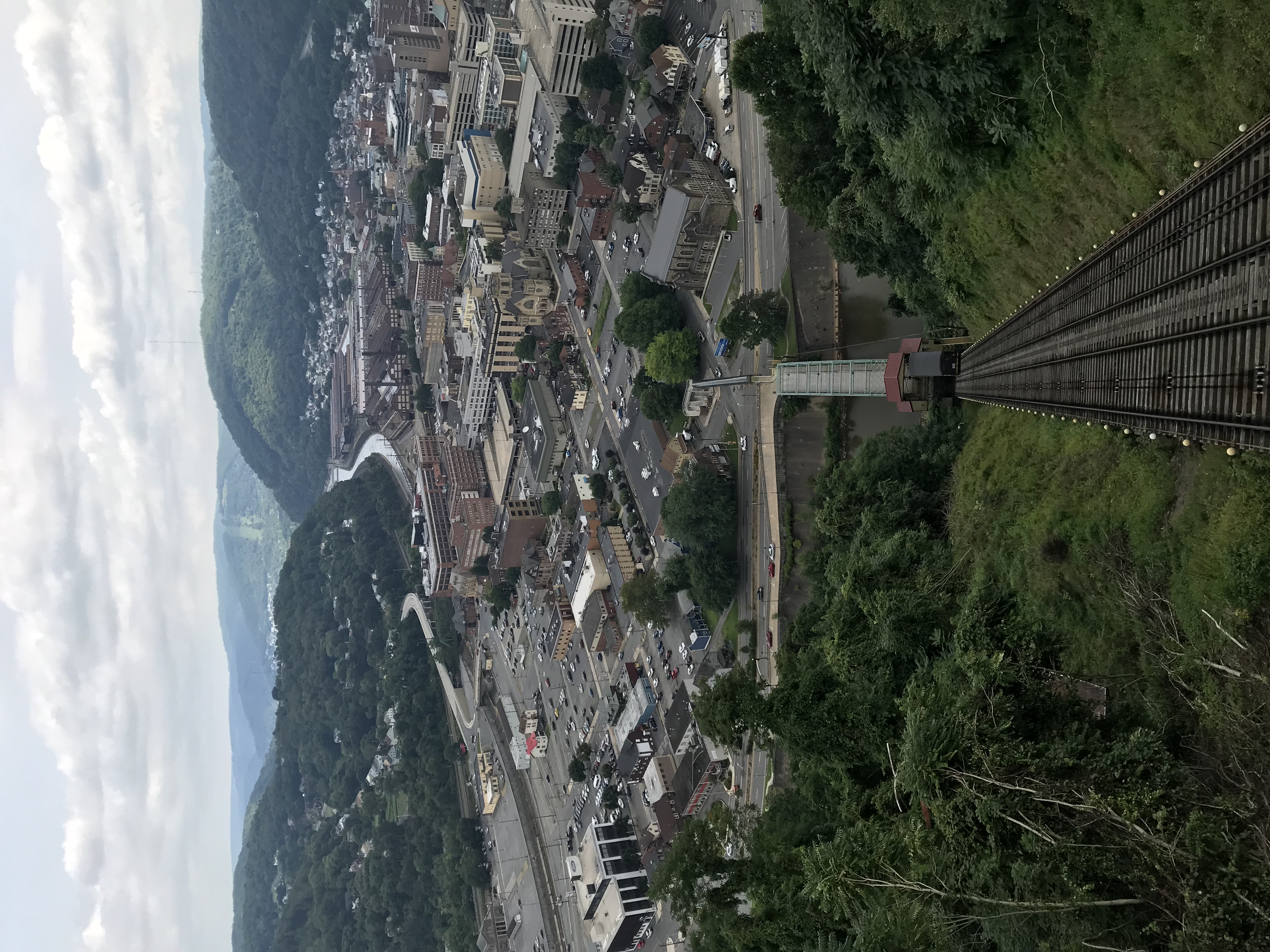
Photo Aug 10, 12 02 36 (1)
square squareformat iphoneography instagramapp uploaded:by=instagram
Such a beautiful town...been destroyed 3x by floods. We visited the Flood Museum and the site where the damn was today. Pretty tragic but very insightful. #JohnstownPA #JohnstownFlood
Fog in the Valley....