Elevation of Highland Ave, Johnstown, PA, USA
Location: United States > Pennsylvania > Cambria County > Johnstown >
Longitude: -78.907407
Latitude: 40.2961499
Elevation: 377m / 1237feet
Barometric Pressure: 97KPa
Elevation Map:
Satellite Map:
Related Photos:
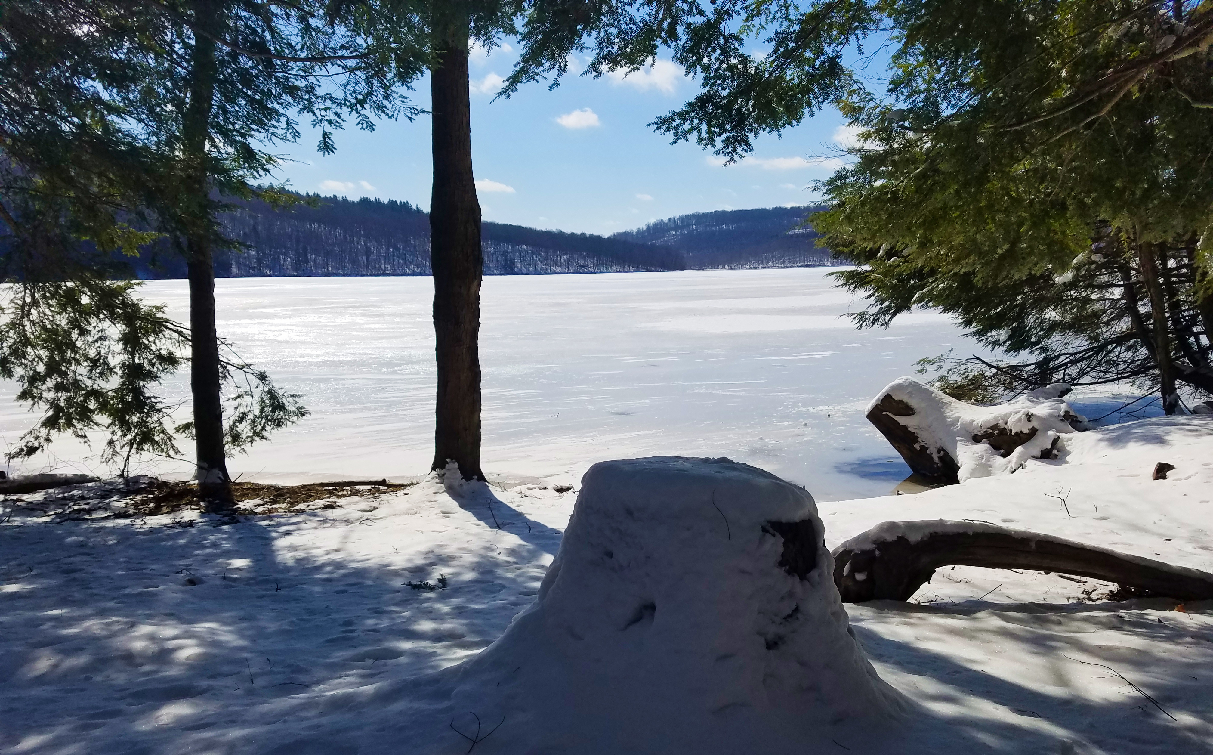
A stumped view.

LAST CALL

View form the top, The Johnstown Inclined Plane

Johnstown Flood National Memorial
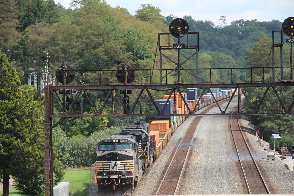
NS in Summerhill: 7

My own Mail Pouch barn!

Johnstown, PA-- First United Methodist Church, 1910
Johnstown, PA -view from top of the inclined plane

View of Johnstown (PA) from the Inclined Plane August 2017

Soap Hollow Road Barn -- Somerset County, Pennsylvania

'Ascent' -- View of Downtown Johnstown (PA) from the Inclined Plane August 2017

Inclined Plane

View of Johnstown (PA) from the Inclined Plane August 2017

Shaffer Bridge -- Somerset County, Pennsylvania

Stone Arch Bridge, Warehouse and Industrial area in Johnstown Pennsylvania

American Crow - Johnstown, Pennsylvania

Johnstown Pennsylvania, Cambria Iron Company

Conemaugh & Black Lick #116 Johnstown, Pennsylvania

Two views at once

Shaffer Bridge -- Somerset County, Pennsylvania

A View of the Mountains...

The Yellow Switcher

NS 776 with MGA

Green, and Blue

Summerhill At Spring

Unger House and What was Once Lake Conemaugh, Johnstown Flood Memorial, South Fork, Pennsylvania, July 2017

Close View of the failed South Fork Dam

Laurel Ridge State Park -- Pennsylvania
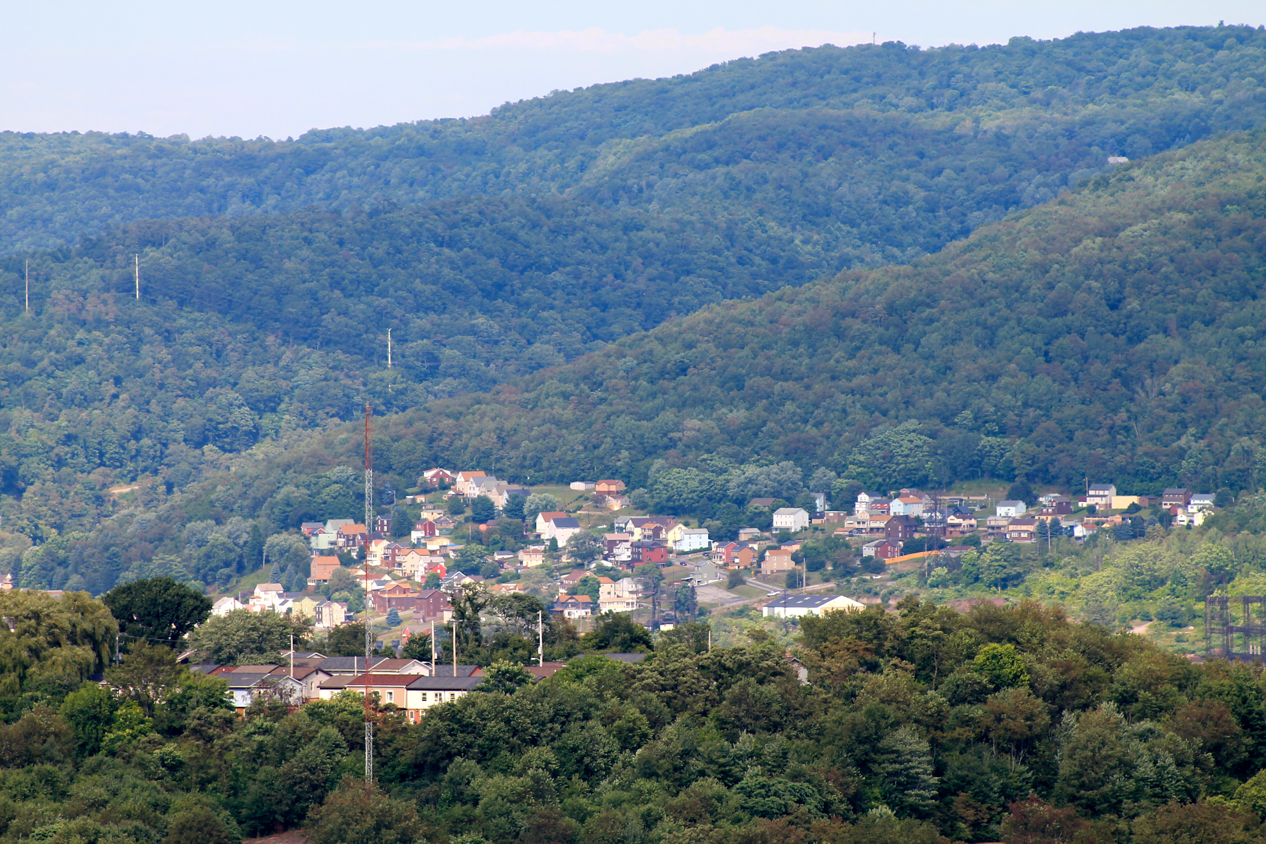
Franklin (Cambria County), PA

Mine 40 near Windber, PA

Billy Bob, an African Pygmy Goat

Angel (Devil)

Site of the FolkFest - Johnstown, Pennsylvania

Blue skies of Pennsylvania.

Morning Light in Pennsylvania.

NS 25Z at South Fork, Pennsylvania on August 29, 2018

Paint Falls
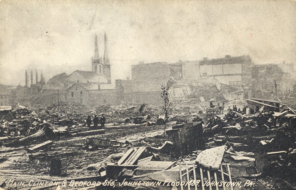
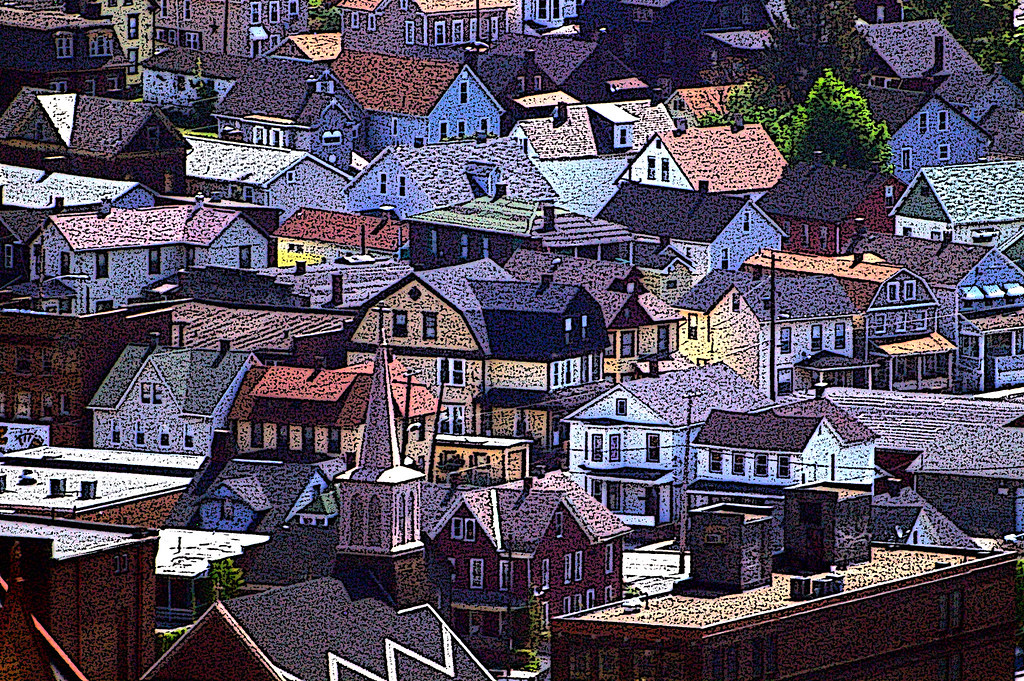
Main, Clinton & Bedford Streets - Johnstown, Pennsylvania

Paint Falls

Horse Shoe Curve Trip-033

June fog

Conemaugh River Quest
Topographic Map of Highland Ave, Johnstown, PA, USA
Find elevation by address:

Places near Highland Ave, Johnstown, PA, USA:
Russell Ave, Johnstown, PA, USA
761 Grove Ave
1107 Kegg Ave
117 Williams St
393 Wertz Rd
1093 Confer Ave
832 Freedom Ave
1618 Forbes Ct
1073 Bedford St
1176 Barnett St
1184 Barnett St
Belmont
225 Southmont Blvd
215 Krings St
Stonycreek Township
Sherman Street
121 Warren St
414 Bantel St
626 Millcreek Rd
626 Millcreek Rd
Recent Searches:
- Elevation of Corso Fratelli Cairoli, 35, Macerata MC, Italy
- Elevation of Tallevast Rd, Sarasota, FL, USA
- Elevation of 4th St E, Sonoma, CA, USA
- Elevation of Black Hollow Rd, Pennsdale, PA, USA
- Elevation of Oakland Ave, Williamsport, PA, USA
- Elevation of Pedrógão Grande, Portugal
- Elevation of Klee Dr, Martinsburg, WV, USA
- Elevation of Via Roma, Pieranica CR, Italy
- Elevation of Tavkvetili Mountain, Georgia
- Elevation of Hartfords Bluff Cir, Mt Pleasant, SC, USA