Elevation of Wertz Rd, Johnstown, PA, USA
Location: United States > Pennsylvania > Cambria County > Stonycreek Township >
Longitude: -78.897396
Latitude: 40.3017598
Elevation: 543m / 1781feet
Barometric Pressure: 95KPa
Elevation Map:
Satellite Map:
Related Photos:

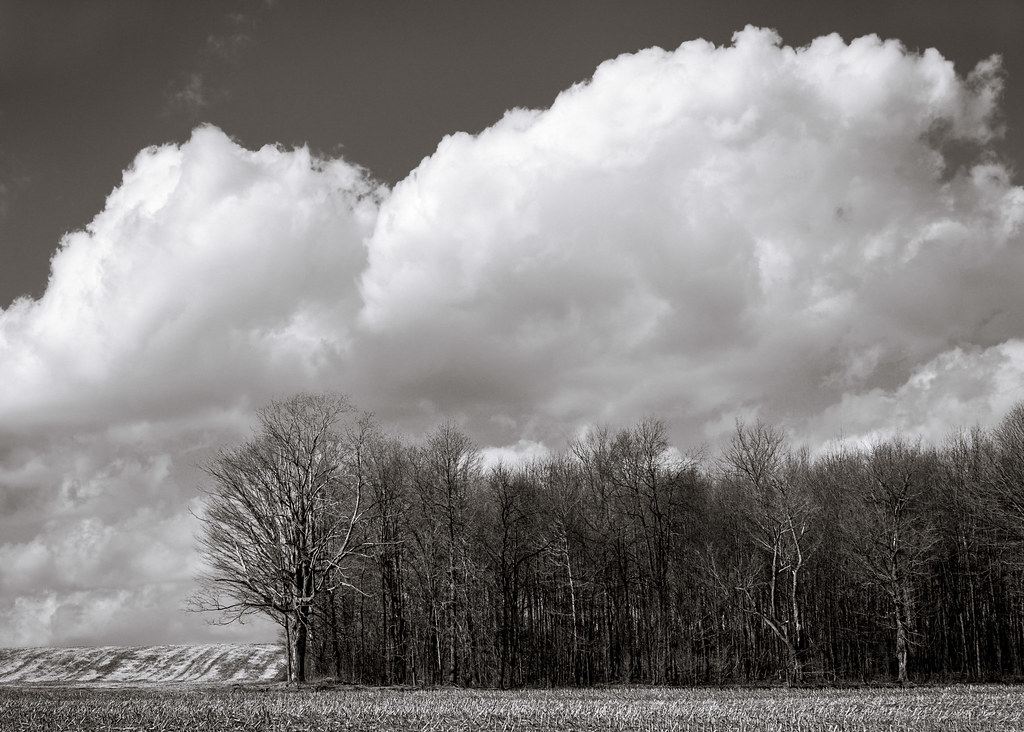
Johnstown Tiltfshift

furry heart

Female Swamp Darner Dragonfly Ovipositing (#3)

Female Swamp Darner Dragonfly Ovipositing (#2)

Shaffer Bridge -- Somerset County, Pennsylvania
The view from the remnants of the South Fork Dam
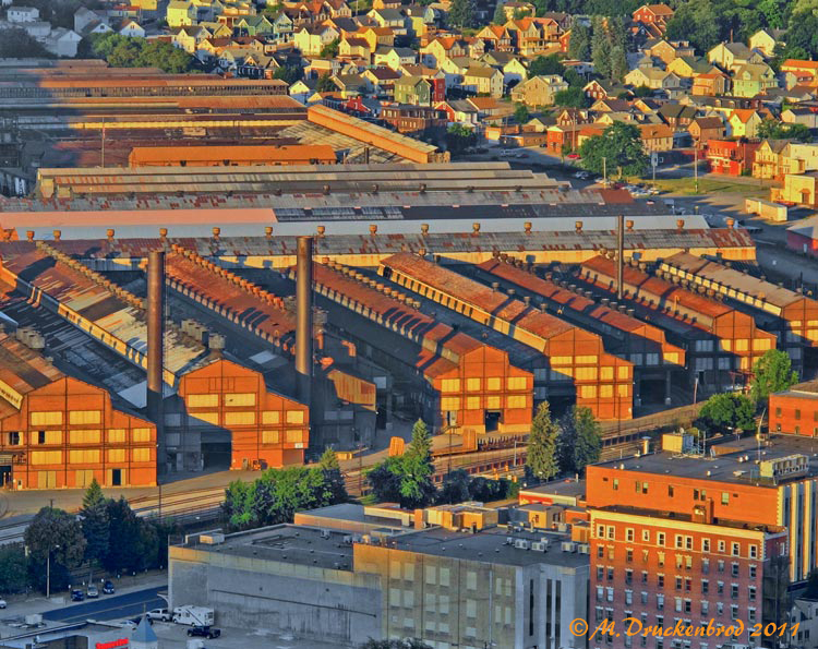
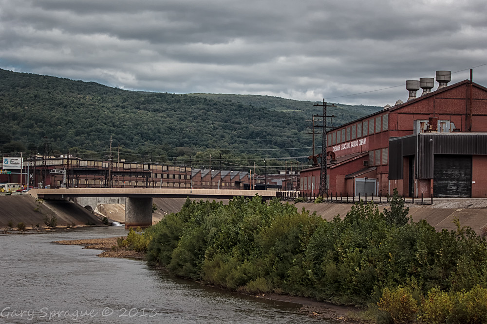
Johnstown Pennsylvania, Cambria Iron Company

View form the top, The Johnstown Inclined Plane

American Crow - Johnstown, Pennsylvania

Soap Hollow Road Barn -- Somerset County, Pennsylvania
Johnstown Flood National Memorial

Two views at once

what a view!

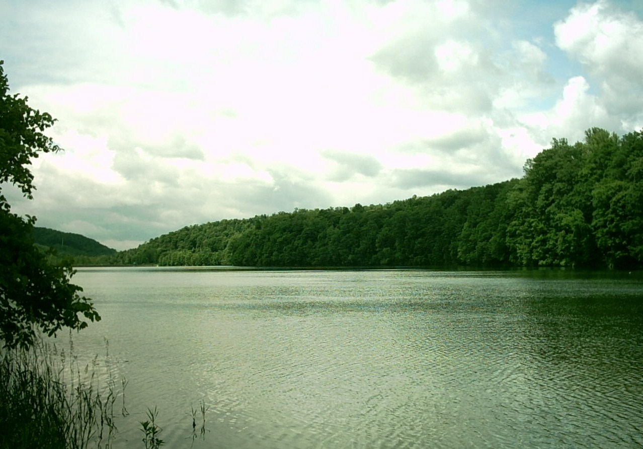
South Fork Valley
A View of the Mountains...
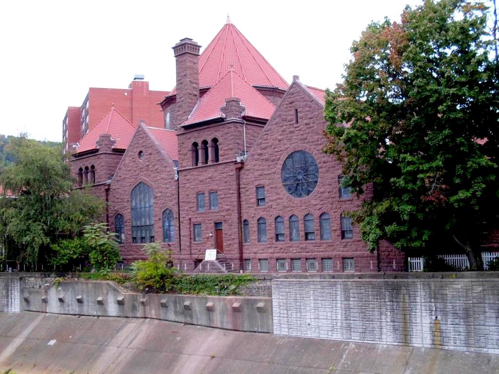
Johnstown, PA-- First United Methodist Church, 1910

My own Mail Pouch barn!

Shaffer Bridge -- Somerset County, Pennsylvania
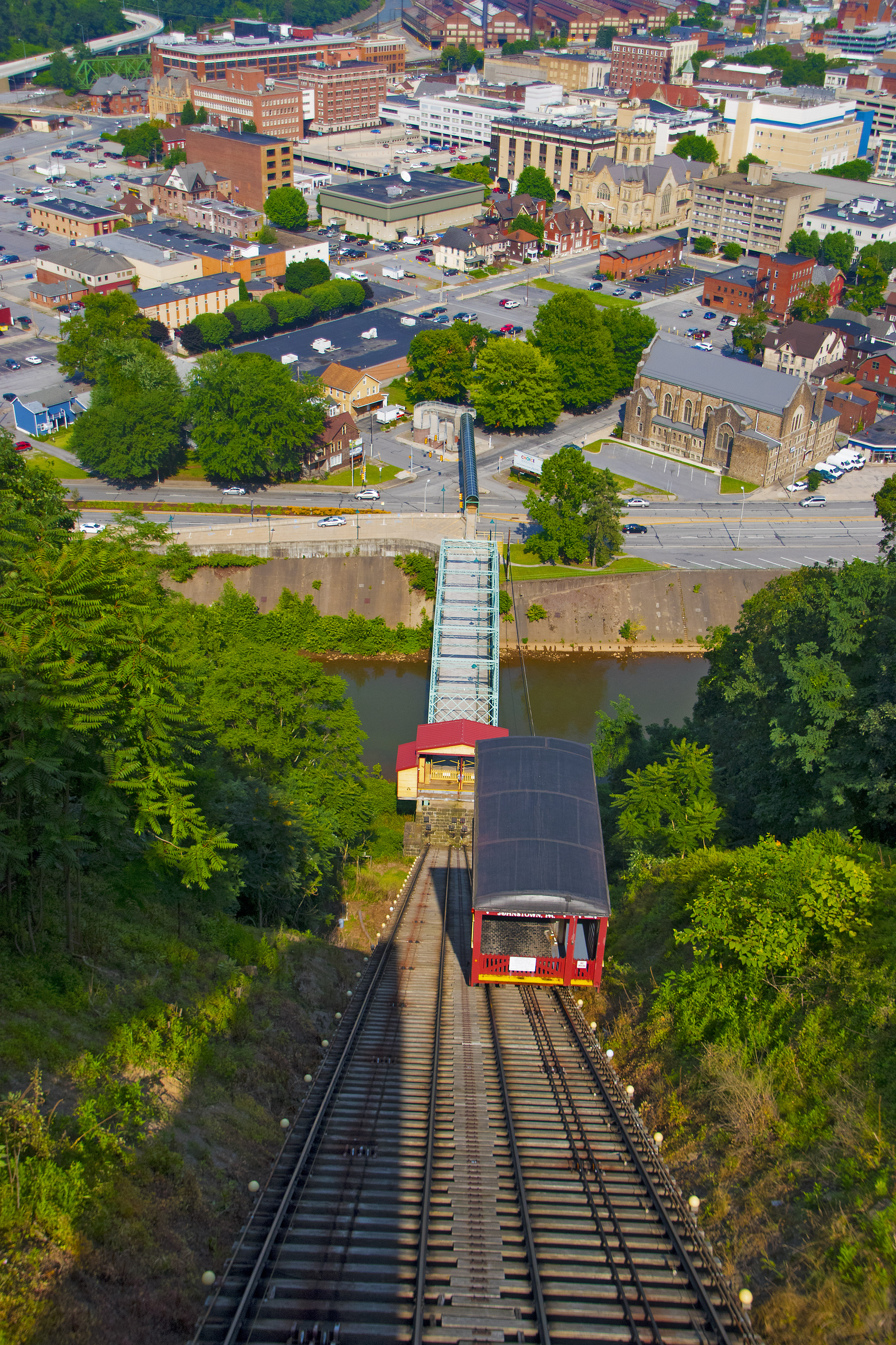
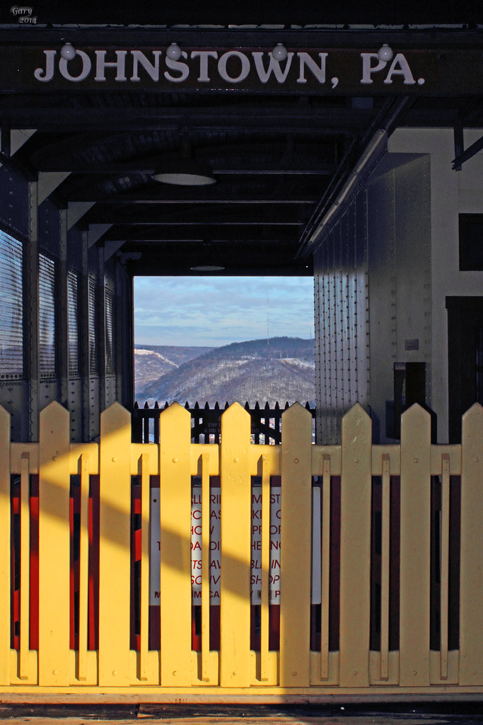
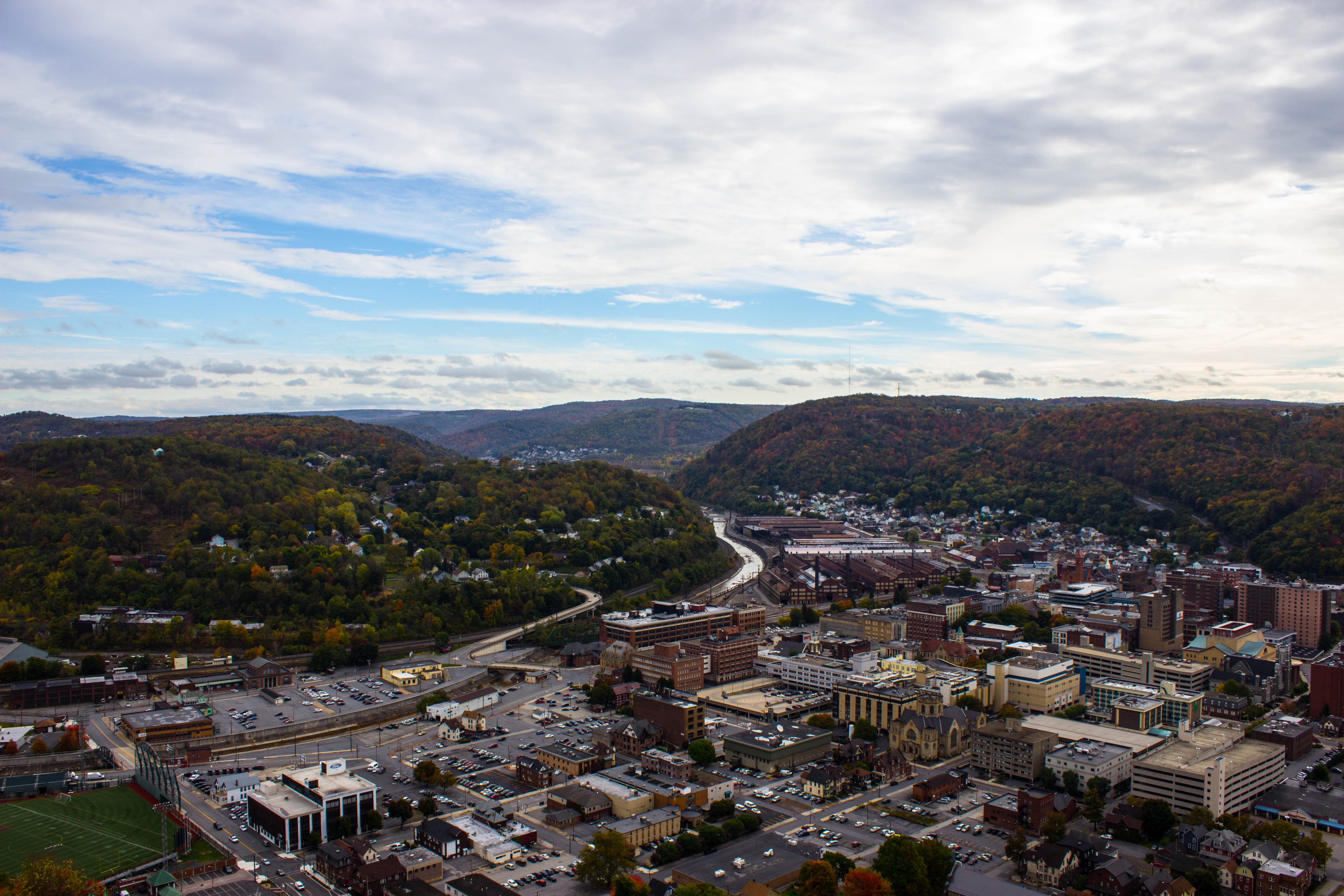
View of Johnstown (PA) from the Inclined Plane August 2017
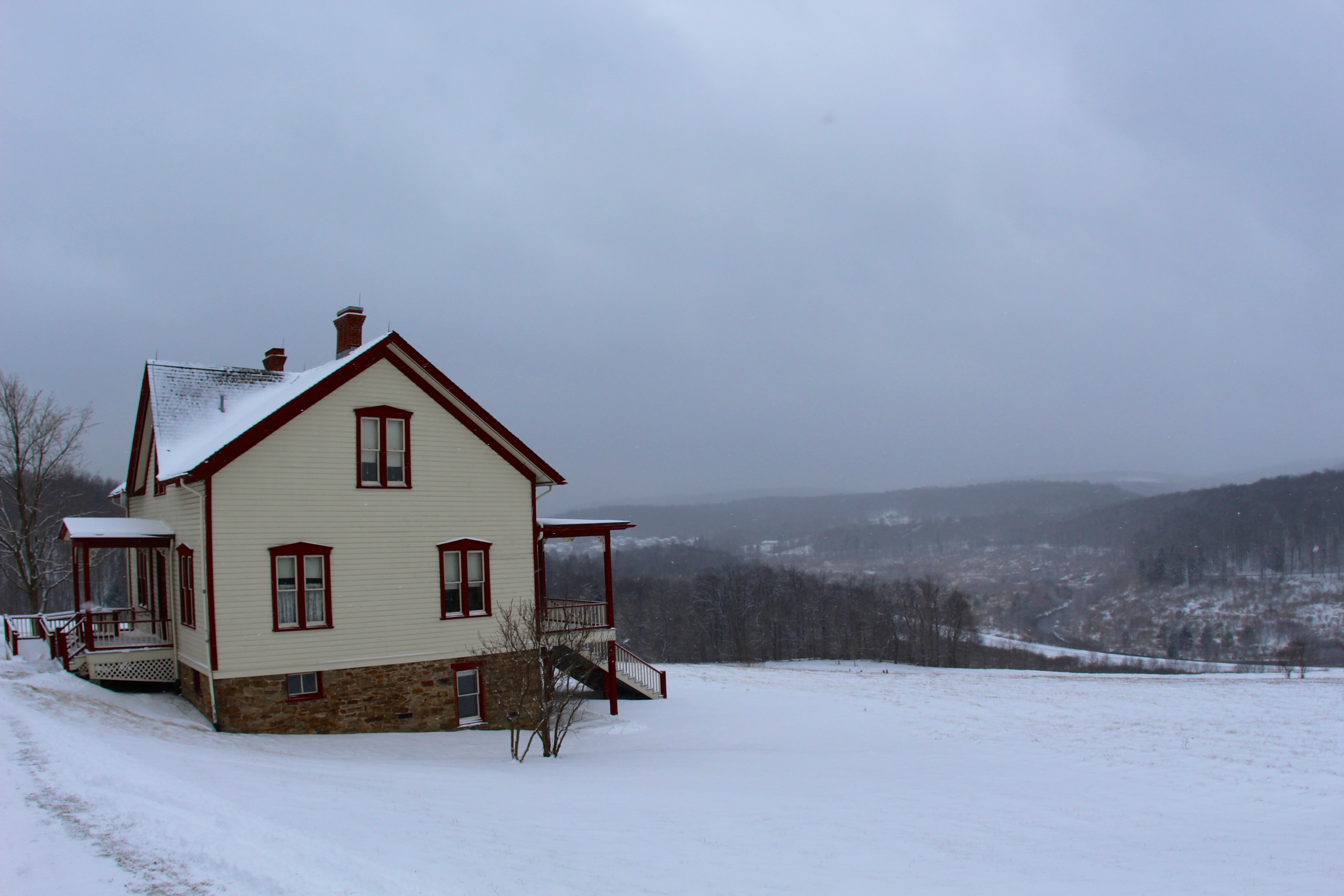
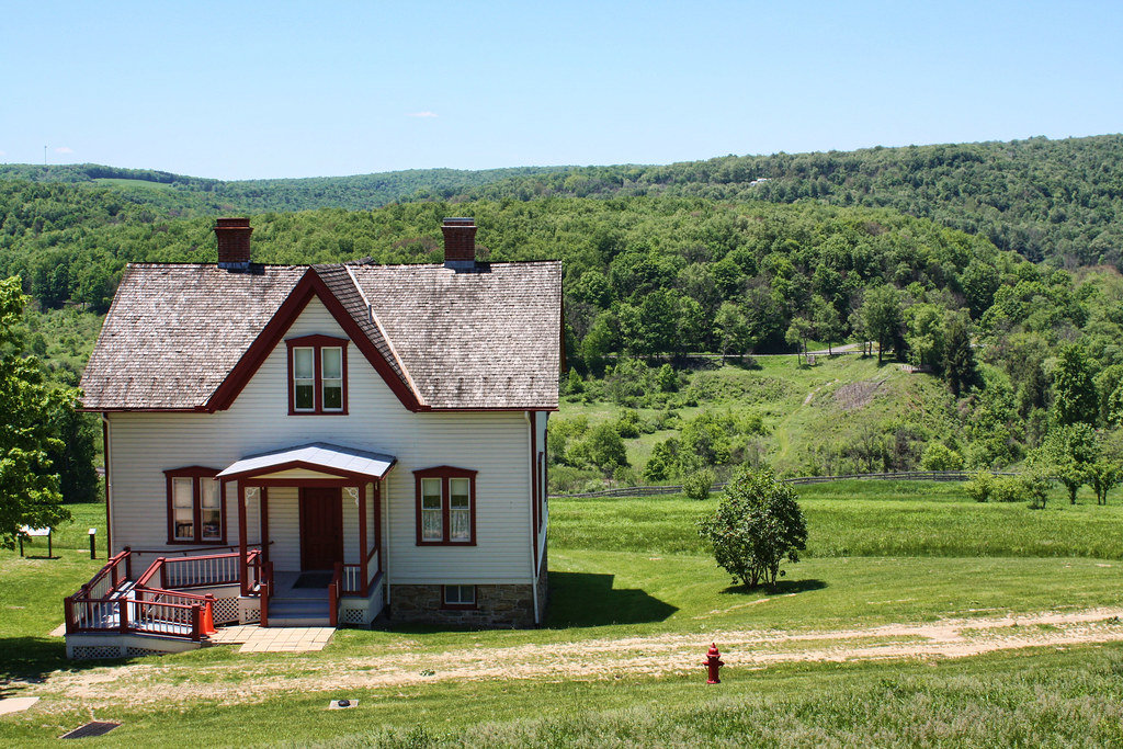
The Unger House

Inclined Plane Car And Side View Johnstown (PA) August 2017
Green, and Blue

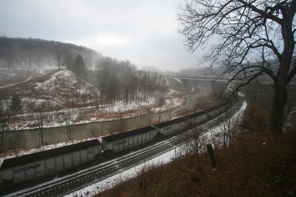
Sang Hollow Extension

Photo Aug 10, 12 02 36 (1)
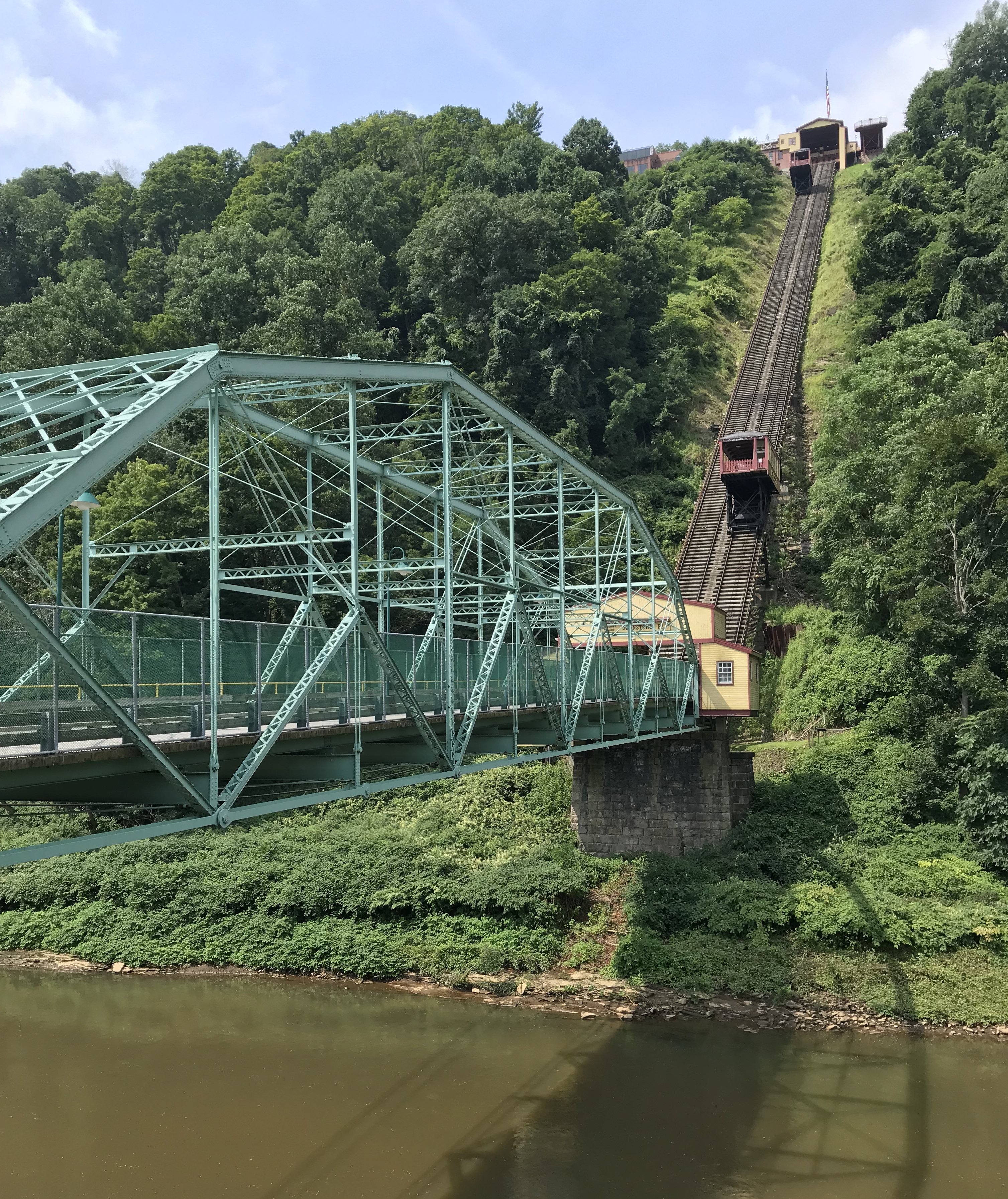
Photo Aug 10, 11 49 55 (1)
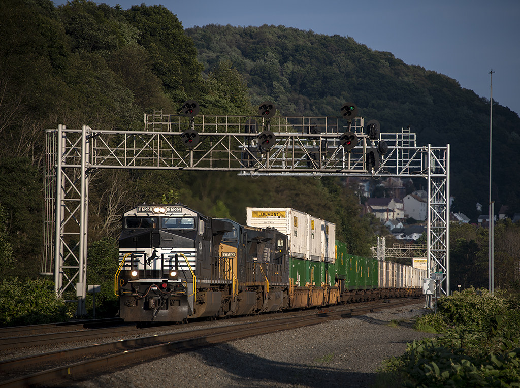
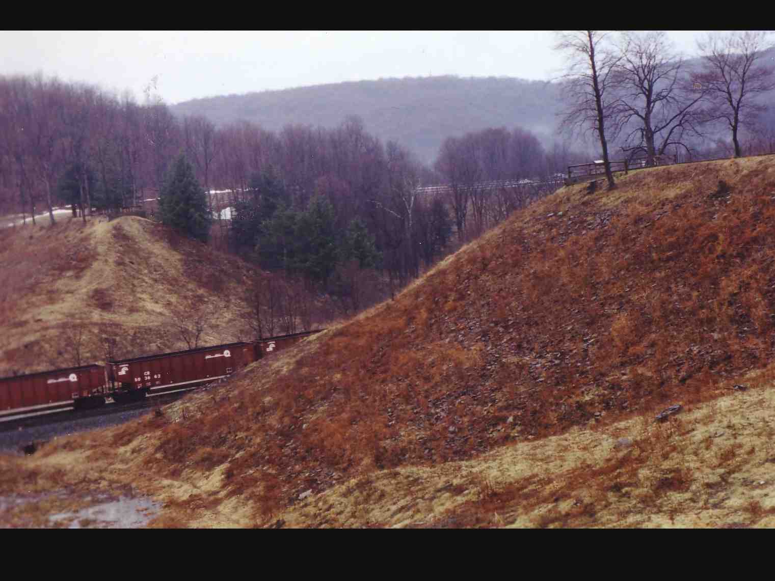
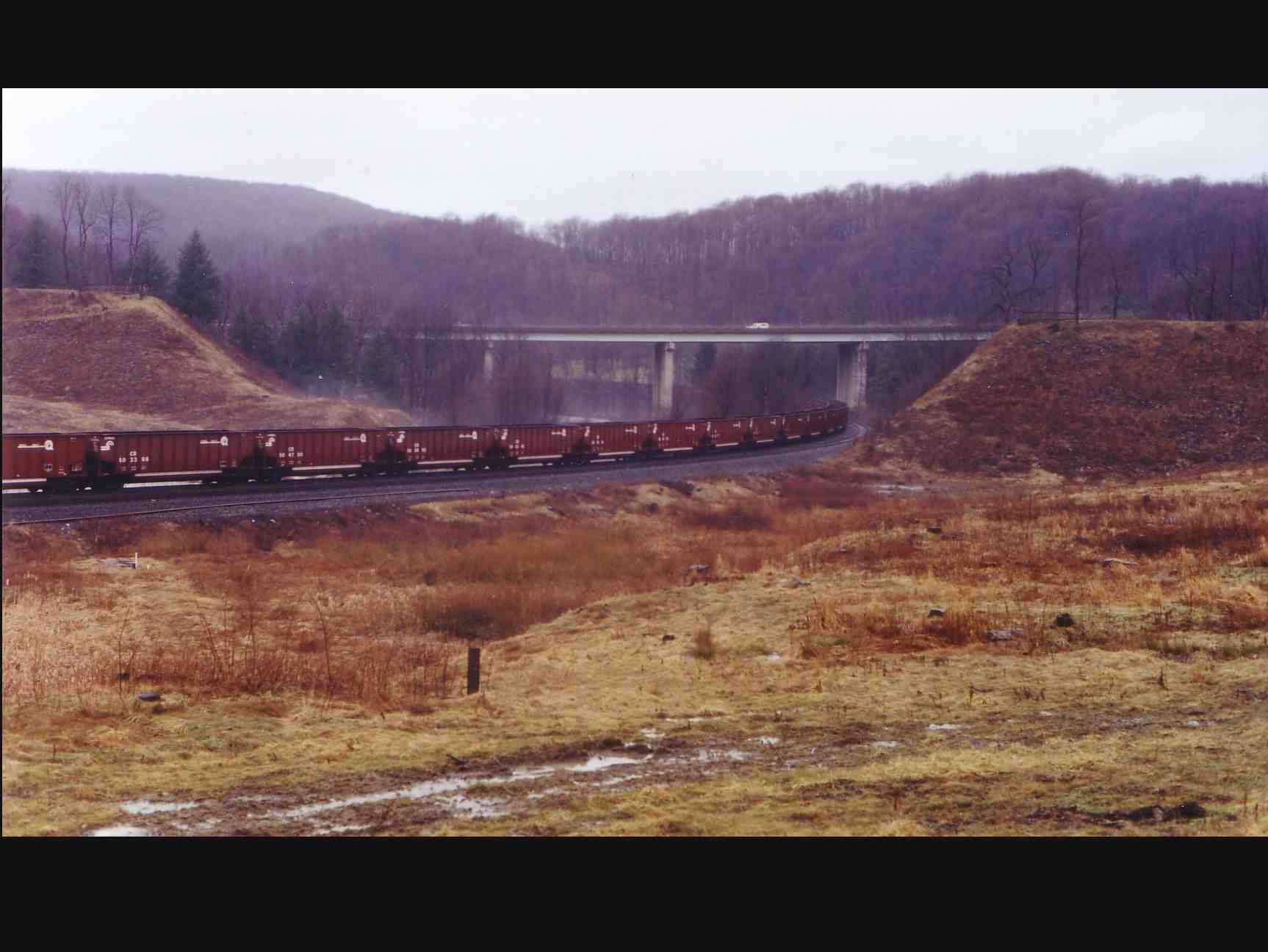
NS 25Z at South Fork, Pennsylvania on August 29, 2018
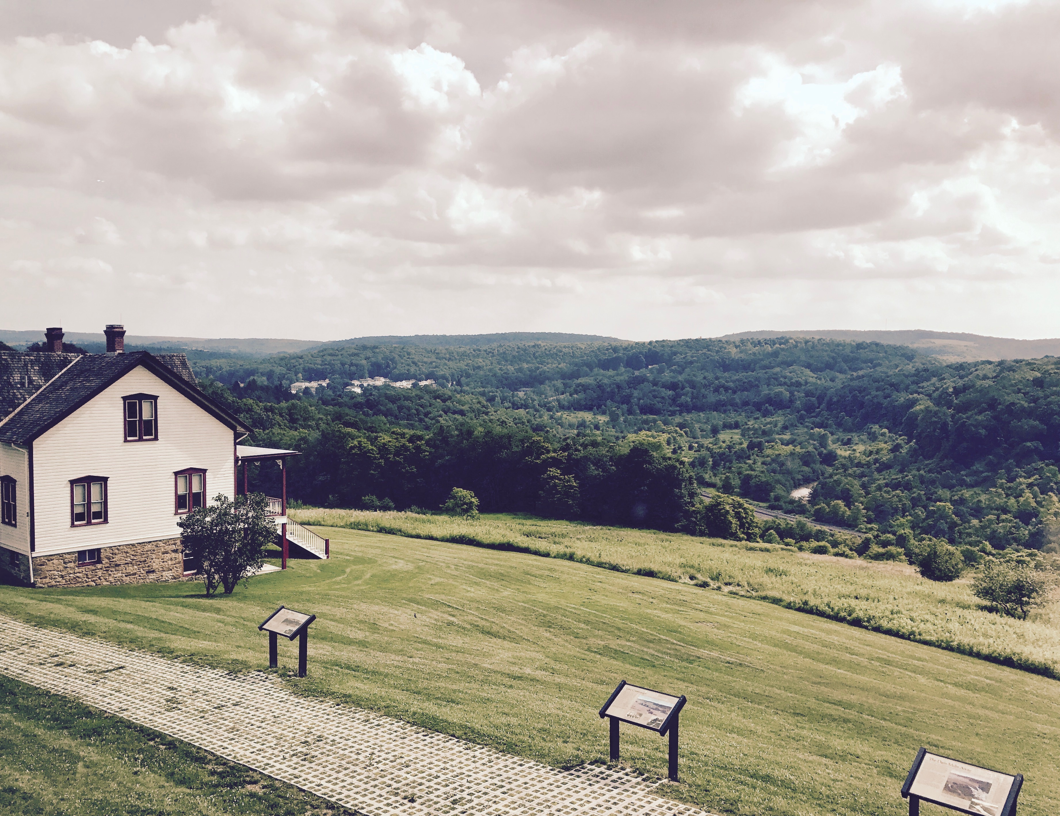
Unger House and What was Once Lake Conemaugh, Johnstown Flood Memorial, South Fork, Pennsylvania, July 2017

grandma's farm
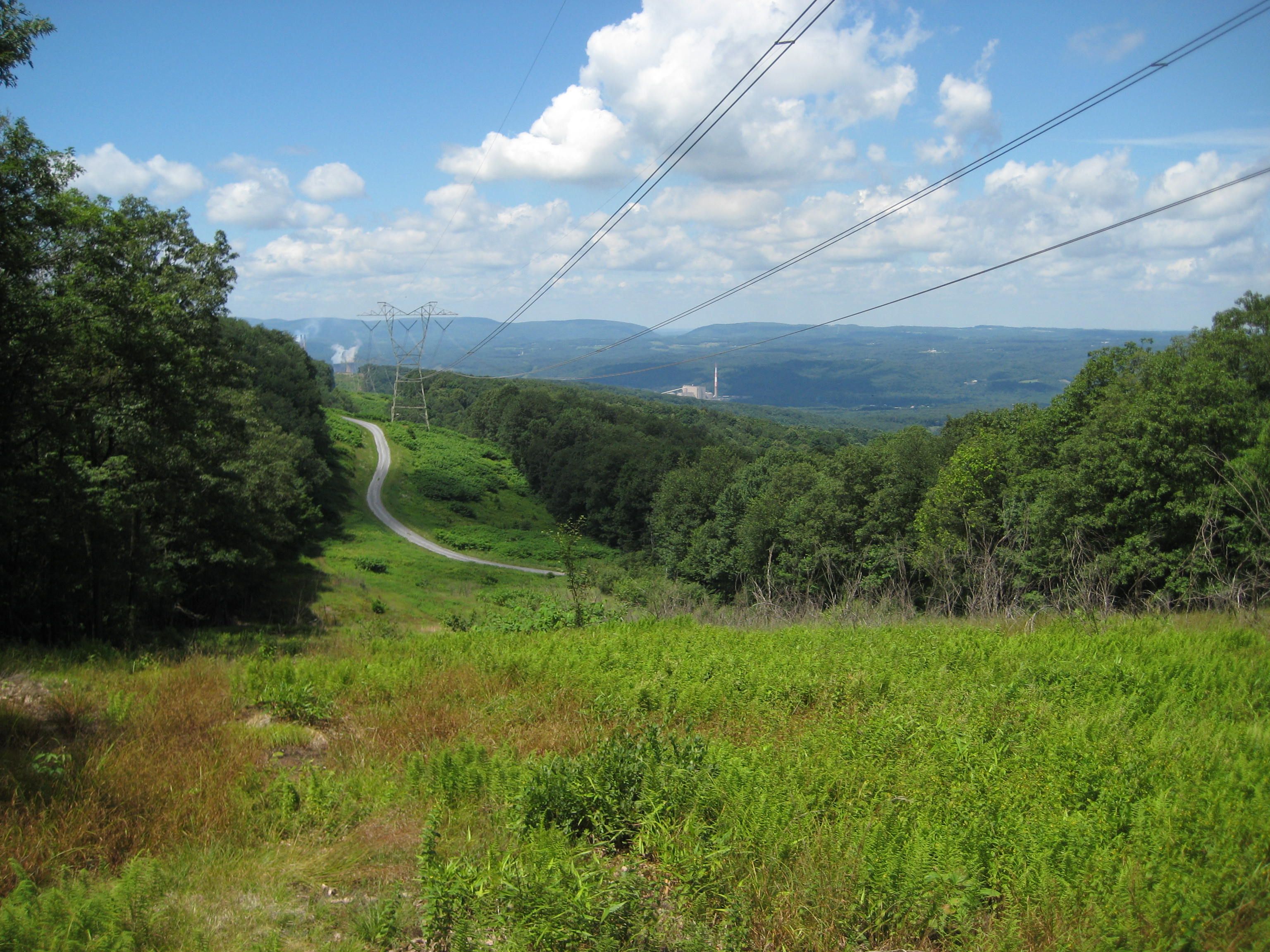
Chestnut Ridge
One Shot #35 | Field
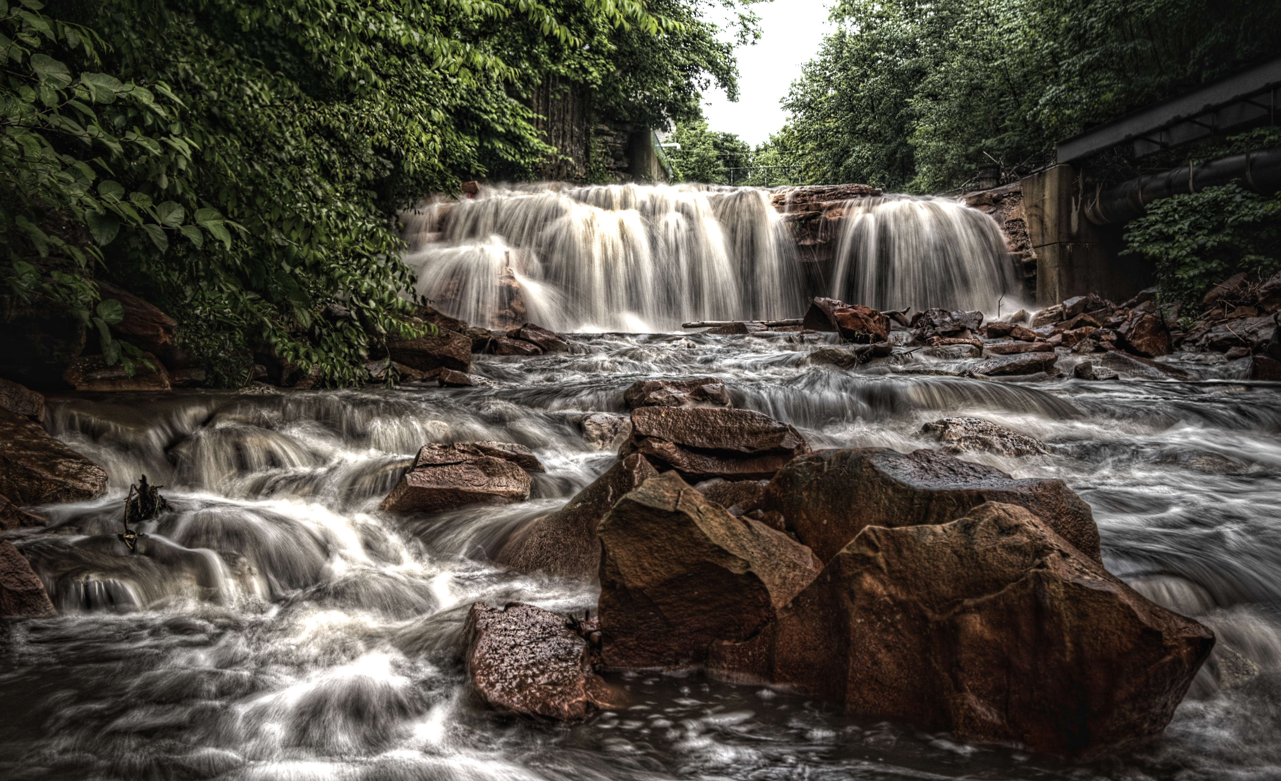
Paint Falls
Hinckston Run Reservoir
Conemaugh River Quest
Johnstown Flood NM PA 3
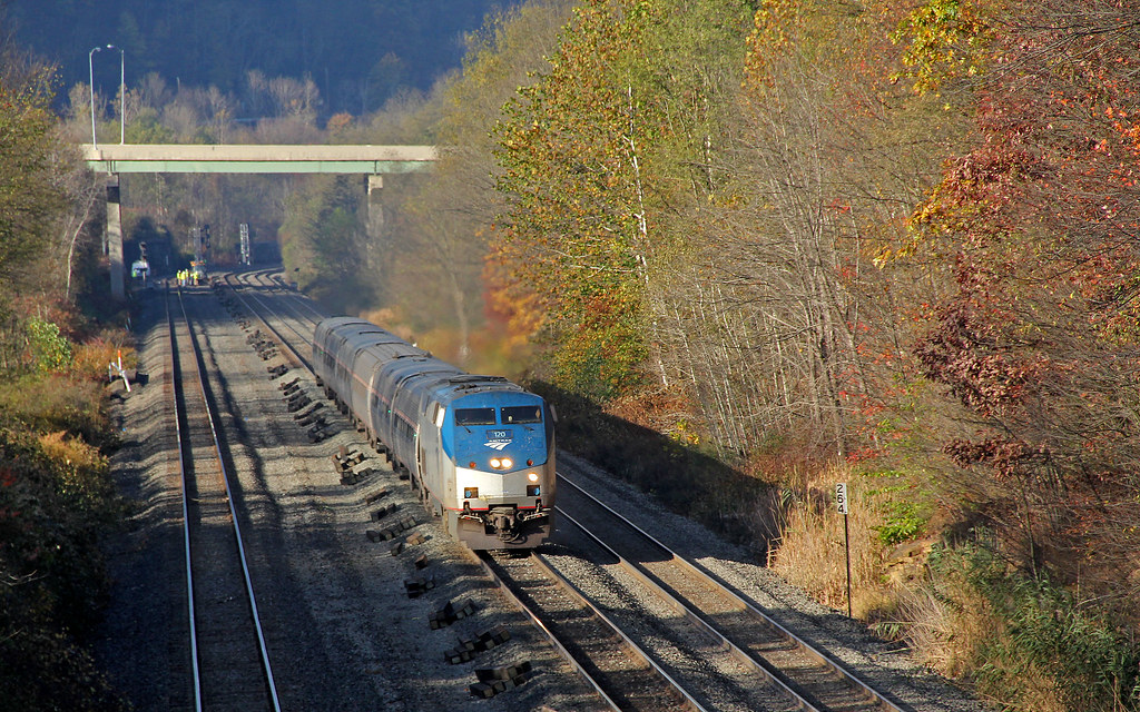
Amtrak 42 at Summerhill

Paint Falls Side Waterfall
Looking out at johnstown pa
South Fork Dam
Johnstown Flood NM PA 1

Ben's Creek
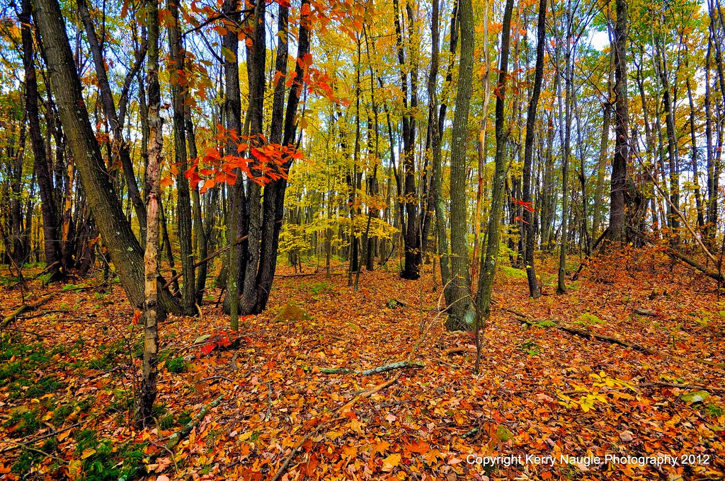
Fall leaves 2012
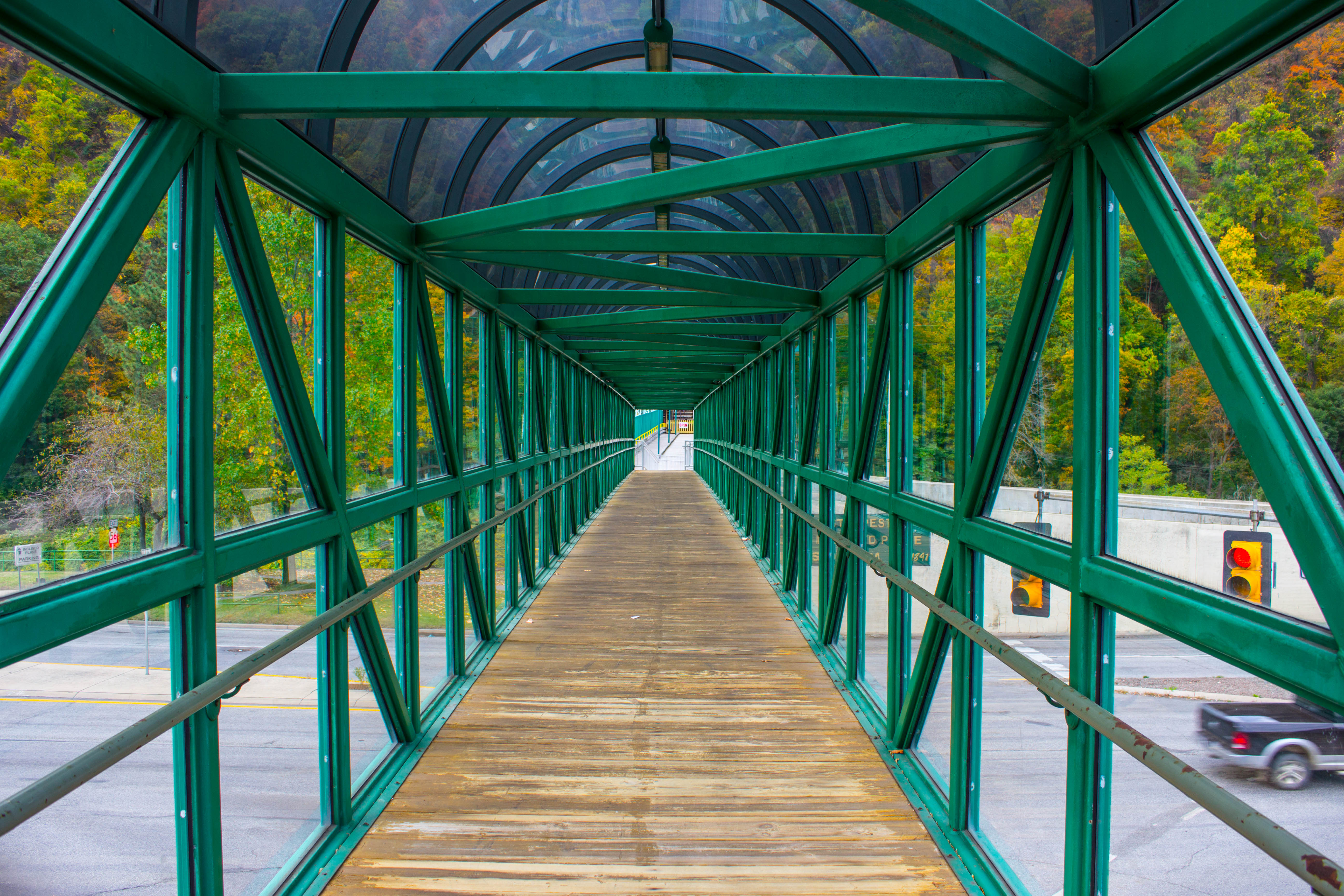
inside a walkway
Topographic Map of Wertz Rd, Johnstown, PA, USA
Find elevation by address:

Places near Wertz Rd, Johnstown, PA, USA:
1073 Bedford St
Russell Ave, Johnstown, PA, USA
Stonycreek Township
550 Highland Ave
1107 Kegg Ave
832 Freedom Ave
117 Williams St
761 Grove Ave
Belmont
Belmont Street
1093 Confer Ave
215 Krings St
Geistown
423 Walters Ave
Sherman Street
1176 Barnett St
1184 Barnett St
606 Sherman St
626 Millcreek Rd
626 Millcreek Rd
Recent Searches:
- Elevation of Corso Fratelli Cairoli, 35, Macerata MC, Italy
- Elevation of Tallevast Rd, Sarasota, FL, USA
- Elevation of 4th St E, Sonoma, CA, USA
- Elevation of Black Hollow Rd, Pennsdale, PA, USA
- Elevation of Oakland Ave, Williamsport, PA, USA
- Elevation of Pedrógão Grande, Portugal
- Elevation of Klee Dr, Martinsburg, WV, USA
- Elevation of Via Roma, Pieranica CR, Italy
- Elevation of Tavkvetili Mountain, Georgia
- Elevation of Hartfords Bluff Cir, Mt Pleasant, SC, USA