Elevation of Tingle Lane, Tingle Ln, Westport, KY, USA
Location: United States > Kentucky > Oldham County >
Longitude: -85.439976
Latitude: 38.50382
Elevation: -10000m / -32808feet
Barometric Pressure: 0KPa
Related Photos:

Morning View

Oldham County Fair from the Ferris Wheel - 10/365
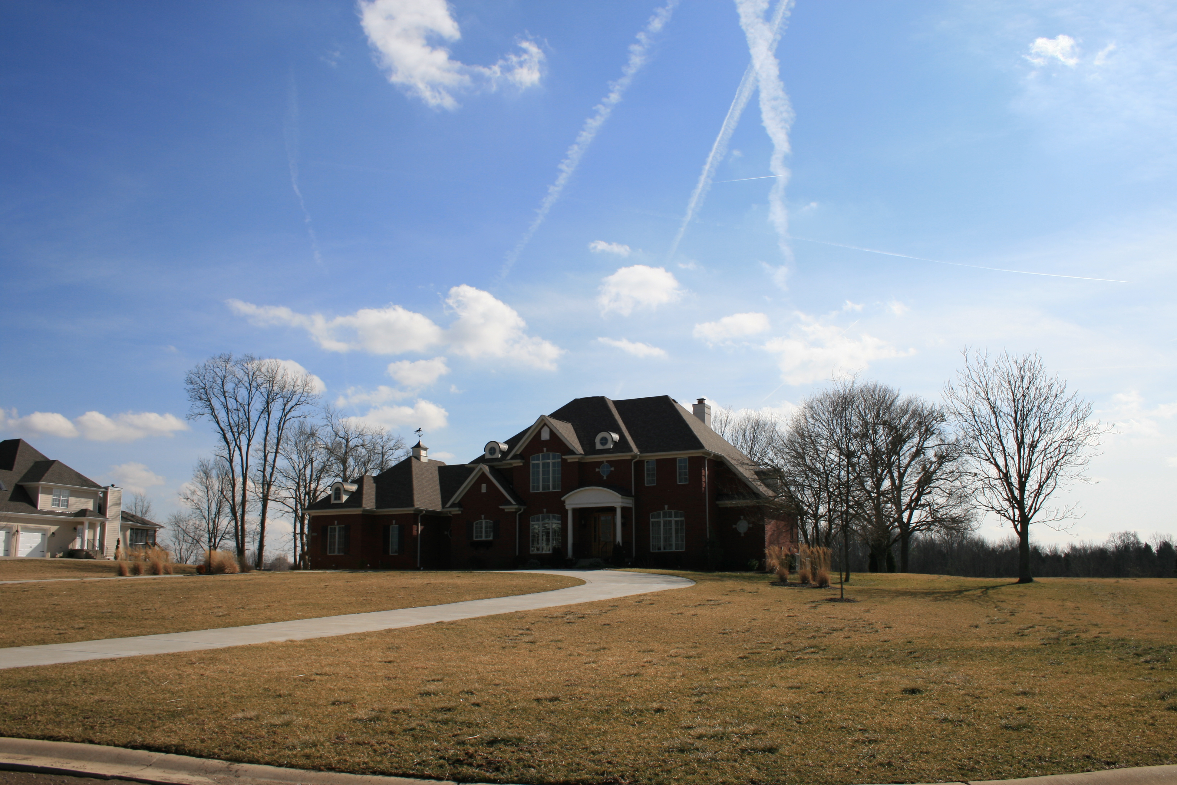
House that Popaw Built

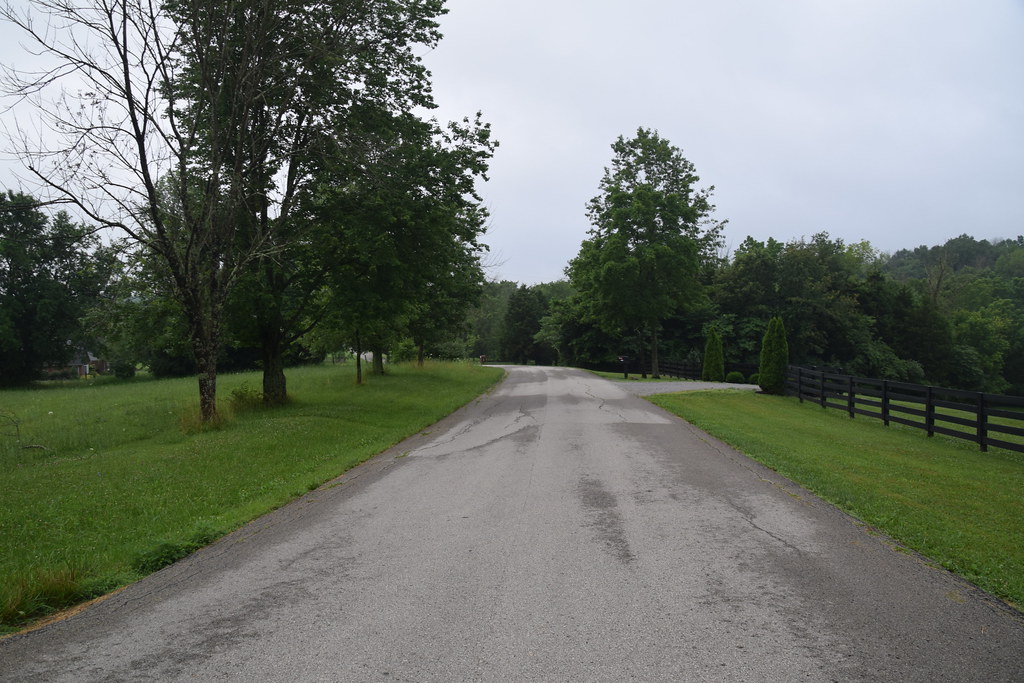
Just A Street that has BIG THINGS that go down the street

Backyard of LT

View From The Observation Tower

View of the Ohio river

6/23 ~ View #fmsphotoaday

Heritage Farm

e_100_1005.JPG

20050604-145020

Gray Hay

20050604-170150

20050604-093908

20050604-093914

Mooo!
20050604-093758

20160705 061230 1SL6

20050604-094038
20050604-164958

20160705 061405 1SL6

20160705 060919 1SL6

20160705 061449 1SL6

20160705 061427 1SL6

20160705 061433 1SL6

20160705 081956 1SL6

20160705 060935 1SL6
20160705 060926 1SL6

20160705 061113 1SL6
Topographic Map of Tingle Lane, Tingle Ln, Westport, KY, USA
Find elevation by address:

Places near Tingle Lane, Tingle Ln, Westport, KY, USA:
Tingle Lane
Tingle Lane
Owen Township
1450 W Hwy 42
W Marble Hill Rd, Nabb, IN, USA
River Rd E, Charlestown, IN, USA
519 N 5th Ave
Washington Township
US-42, Goshen, KY, USA
Bull Creek Rd, Charlestown, IN, USA
5107 Glen Cove Rd
9301 Tunnel Mill Rd
W Main St, La Grange, KY, USA
La Grange
205 E Main St
2613 Singleton Ln
1794 Zachary Dr
1796 Zachary Dr
1126 Cherry Hollow Rd
Saluda Township
Recent Searches:
- Elevation of 10370, West 107th Circle, Westminster, Jefferson County, Colorado, 80021, USA
- Elevation of 611, Roman Road, Old Ford, Bow, London, England, E3 2RW, United Kingdom
- Elevation of 116, Beartown Road, Underhill, Chittenden County, Vermont, 05489, USA
- Elevation of Window Rock, Colfax County, New Mexico, 87714, USA
- Elevation of 4807, Rosecroft Street, Kempsville Gardens, Virginia Beach, Virginia, 23464, USA
- Elevation map of Matawinie, Quebec, Canada
- Elevation of Sainte-Émélie-de-l'Énergie, Matawinie, Quebec, Canada
- Elevation of Rue du Pont, Sainte-Émélie-de-l'Énergie, Matawinie, Quebec, J0K2K0, Canada
- Elevation of 8, Rue de Bécancour, Blainville, Thérèse-De Blainville, Quebec, J7B1N2, Canada
- Elevation of Wilmot Court North, 163, University Avenue West, Northdale, Waterloo, Region of Waterloo, Ontario, N2L6B6, Canada
- Elevation map of Panamá Province, Panama
- Elevation of Balboa, Panamá Province, Panama
- Elevation of San Miguel, Balboa, Panamá Province, Panama
- Elevation of Isla Gibraleón, San Miguel, Balboa, Panamá Province, Panama
- Elevation of 4655, Krischke Road, Schulenburg, Fayette County, Texas, 78956, USA
- Elevation of Carnegie Avenue, Downtown Cleveland, Cleveland, Cuyahoga County, Ohio, 44115, USA
- Elevation of Walhonding, Coshocton County, Ohio, USA
- Elevation of Clifton Down, Clifton, Bristol, City of Bristol, England, BS8 3HU, United Kingdom
- Elevation map of Auvergne-Rhône-Alpes, France
- Elevation map of Upper Savoy, Auvergne-Rhône-Alpes, France