Elevation of Timberlane Dr, Craig, CO, USA
Location: United States > Colorado > Craig >
Longitude: -107.415572
Latitude: 40.8719929
Elevation: 2369m / 7772feet
Barometric Pressure: 0KPa
Related Photos:
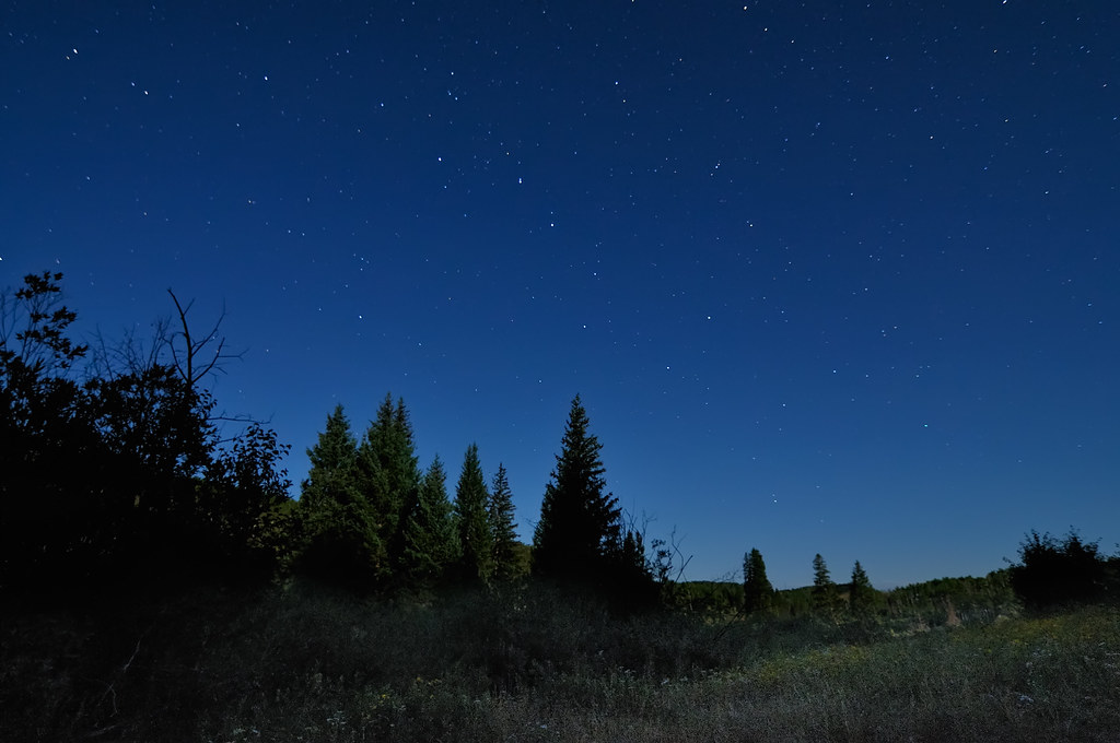
Dipping into the Elkhead Mountains

Dusky Grouse Courtship Display
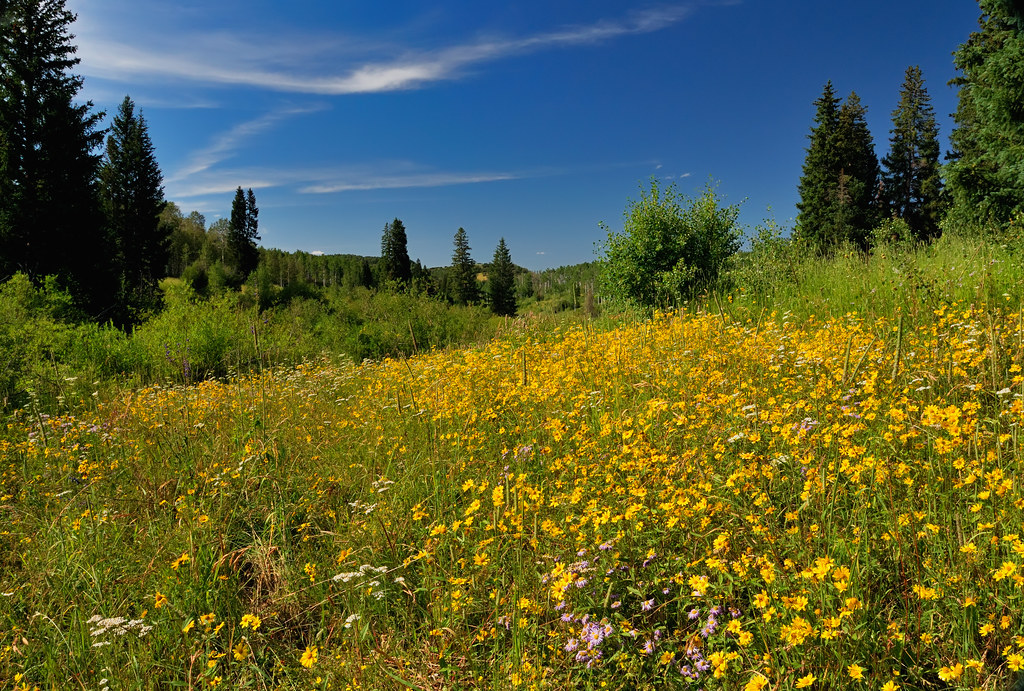
Floral Profusion in the Elkhead Mountains
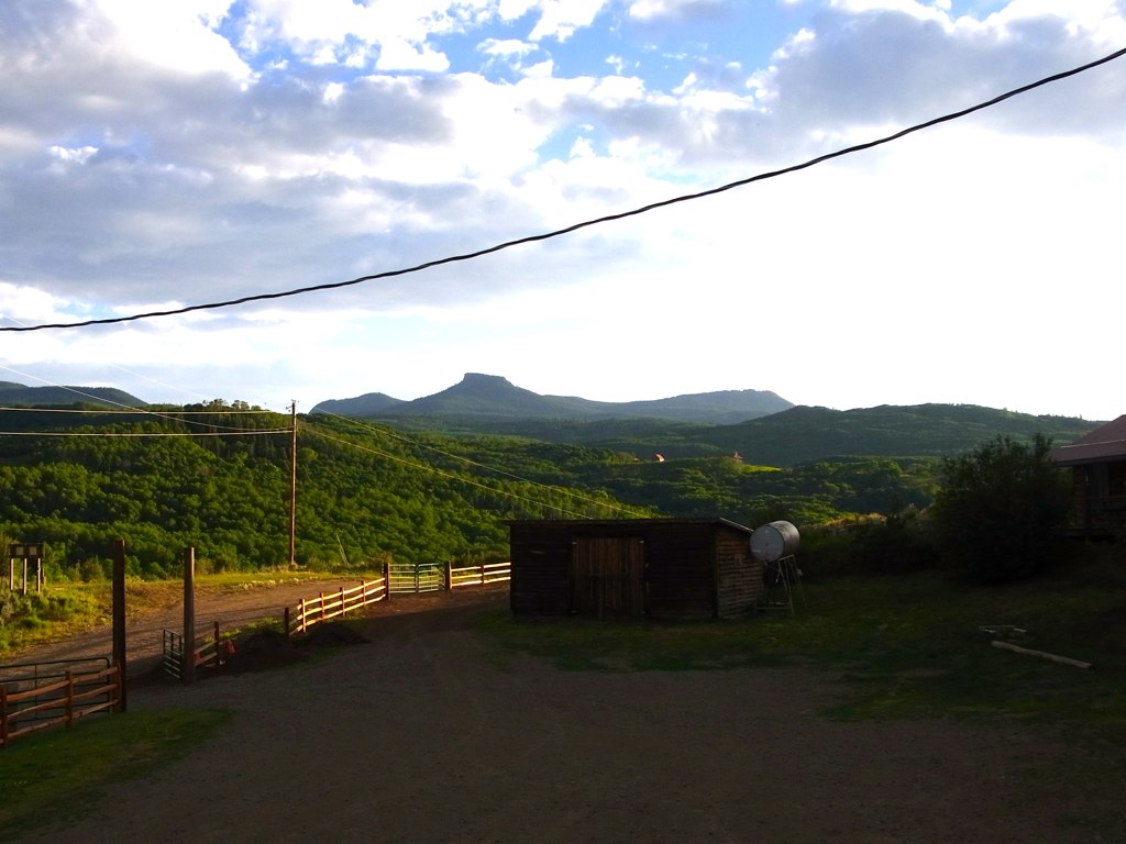
View from the lodge
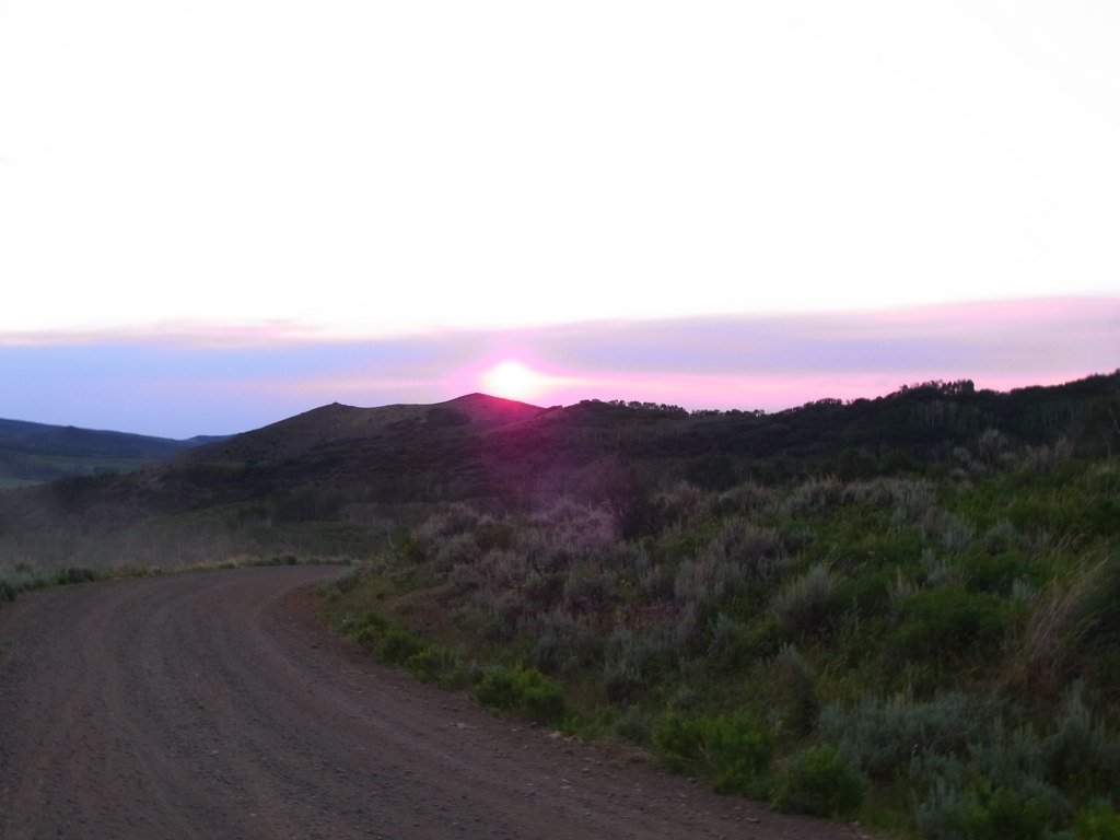
Sunset from above the the Lodge

So entertaining
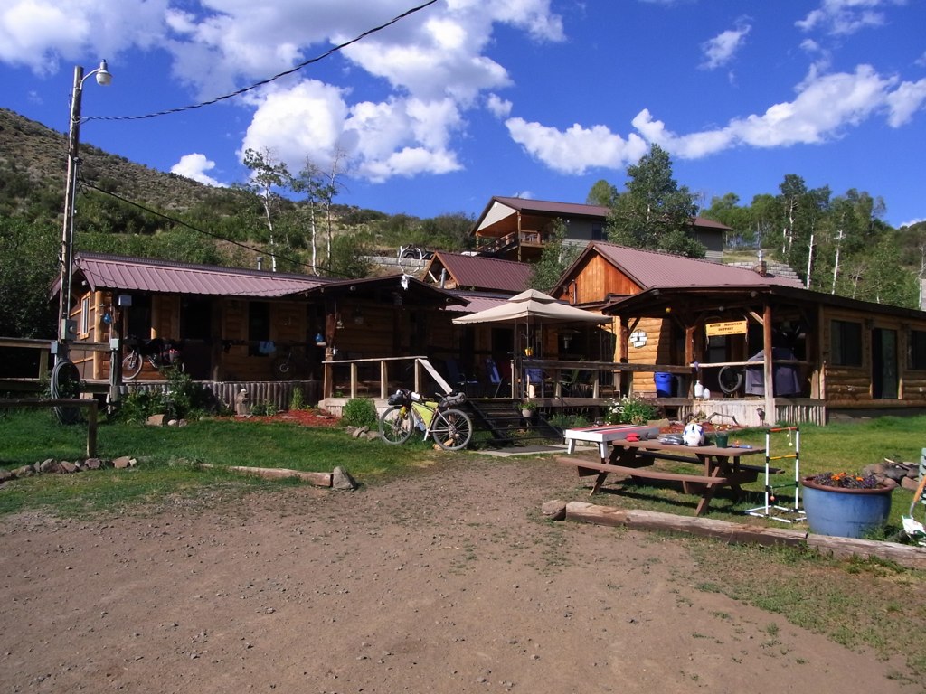
Brush Mountain Lodge

Matthew taking us up to see the sunset
Topographic Map of Timberlane Dr, Craig, CO, USA
Find elevation by address:

Places near Timberlane Dr, Craig, CO, USA:
943 Routt Forest Dr
111 Sycamore Rd
Little Emerson Peak
Mount Welba
Bakers Peak
Buck Point
Mount Oliphant
Baker's Peak Ranch
Long Mountain
The Lodge And Spa At Three Forks Ranch
Savery
Brush Mountain
West Gibraltar Peak
Battle Mountain
Columbus Mountain
Twin Buttes
Sugar Loaf Mountain
Circle Ridge
Baggs
Wyoming 70
Recent Searches:
- Elevation of 107, Big Apple Road, East Palatka, Putnam County, Florida, 32131, USA
- Elevation of Jiezi, Chongzhou City, Sichuan, China
- Elevation of Chongzhou City, Sichuan, China
- Elevation of Huaiyuan, Chongzhou City, Sichuan, China
- Elevation of Qingxia, Chengdu, Sichuan, China
- Elevation of Corso Fratelli Cairoli, 35, Macerata MC, Italy
- Elevation of Tallevast Rd, Sarasota, FL, USA
- Elevation of 4th St E, Sonoma, CA, USA
- Elevation of Black Hollow Rd, Pennsdale, PA, USA
- Elevation of Oakland Ave, Williamsport, PA, USA
- Elevation of Pedrógão Grande, Portugal
- Elevation of Klee Dr, Martinsburg, WV, USA
- Elevation of Via Roma, Pieranica CR, Italy
- Elevation of Tavkvetili Mountain, Georgia
- Elevation of Hartfords Bluff Cir, Mt Pleasant, SC, USA
- Elevation of SW Barberry Dr, Beaverton, OR, USA
- Elevation of Old Ahsahka Grade, Ahsahka, ID, USA
- Elevation of State Hwy F, Pacific, MO, USA
- Elevation of Chemin de Bel air, Chem. de Bel air, Mougins, France
- Elevation of Cloverdale Dr, Bloomingdale, GA, USA