Elevation of Sugar Loaf Mountain, Colorado, USA
Location: United States > Colorado > Routt County > Hayden >
Longitude: -107.18394
Latitude: 40.7833037
Elevation: 2977m / 9767feet
Barometric Pressure: 70KPa
Elevation Map:
Satellite Map:
Related Photos:
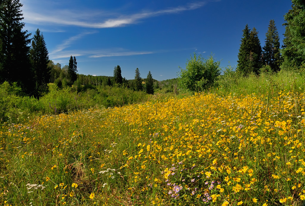
Floral Profusion in the Elkhead Mountains

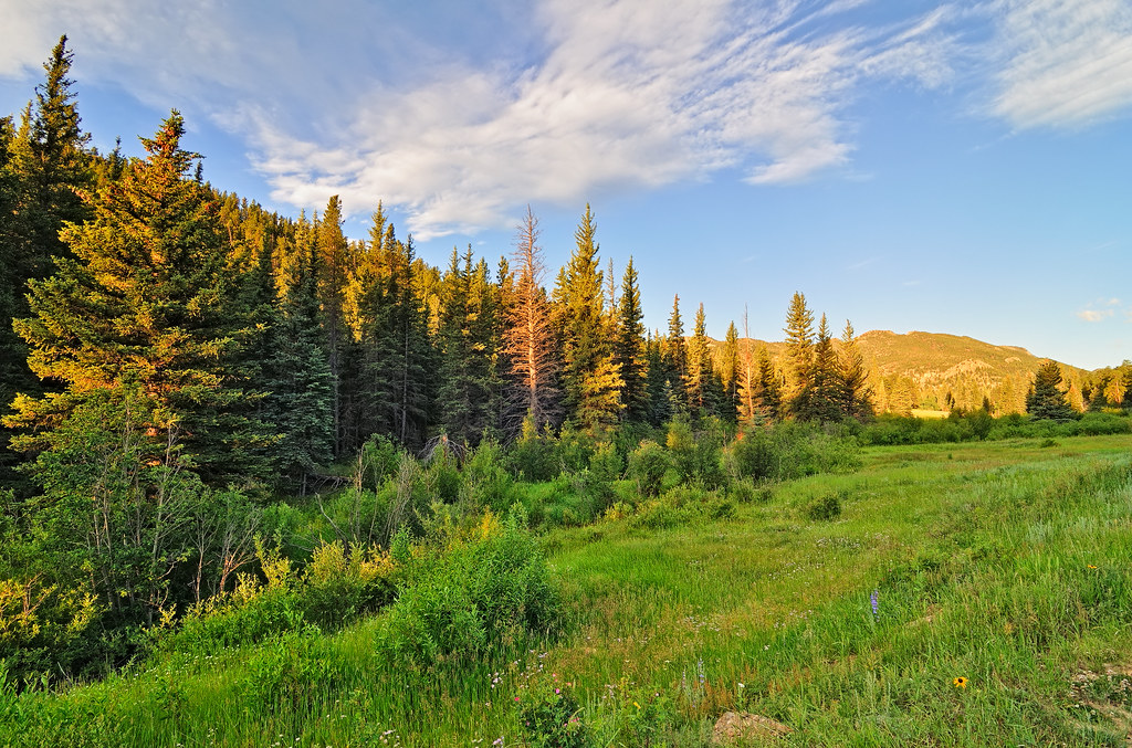
Seeing Forever in the Elkhead Mountains

Dipping into the Elkhead Mountains
A Morning on Cow Creek
Topographic Map of Sugar Loaf Mountain, Colorado, USA
Find elevation by address:

Places near Sugar Loaf Mountain, Colorado, USA:
Columbus Mountain
Diamond Peak
Circle Ridge
Brush Mountain
West Gibraltar Peak
Nipple Peak
Shield Mountain
Piney Mountain
Buck Point
Twin Buttes
Mount Oliphant
Long Mountain
City Mountain
Iron Mountain
Mount Welba
943 Routt Forest Dr
Hahns Peak Village
3457 Timberlane Dr
Hahn's Peak Roadhouse
60880 Co Rd 129
Recent Searches:
- Elevation of Corso Fratelli Cairoli, 35, Macerata MC, Italy
- Elevation of Tallevast Rd, Sarasota, FL, USA
- Elevation of 4th St E, Sonoma, CA, USA
- Elevation of Black Hollow Rd, Pennsdale, PA, USA
- Elevation of Oakland Ave, Williamsport, PA, USA
- Elevation of Pedrógão Grande, Portugal
- Elevation of Klee Dr, Martinsburg, WV, USA
- Elevation of Via Roma, Pieranica CR, Italy
- Elevation of Tavkvetili Mountain, Georgia
- Elevation of Hartfords Bluff Cir, Mt Pleasant, SC, USA