Elevation of Thurlstone, Sheffield S36 9QF, UK
Location: United Kingdom > England > South Yorkshire > Thurlstone >
Longitude: -1.6512963
Latitude: 53.5322457
Elevation: 241m / 791feet
Barometric Pressure: 98KPa
Elevation Map:
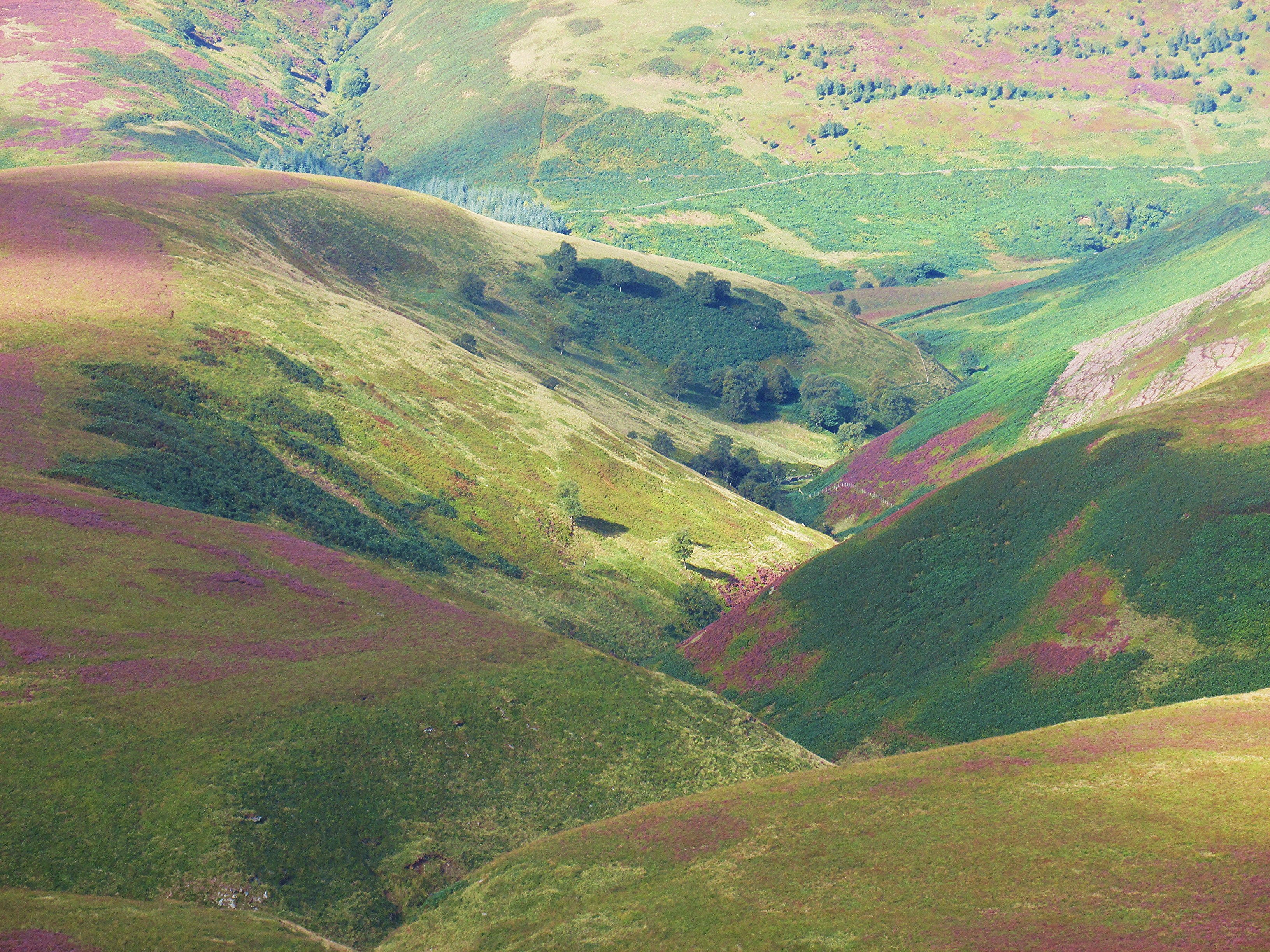
Satellite Map:
Related Photos:

100 Peak tops...No 36...Bleaklow stones.

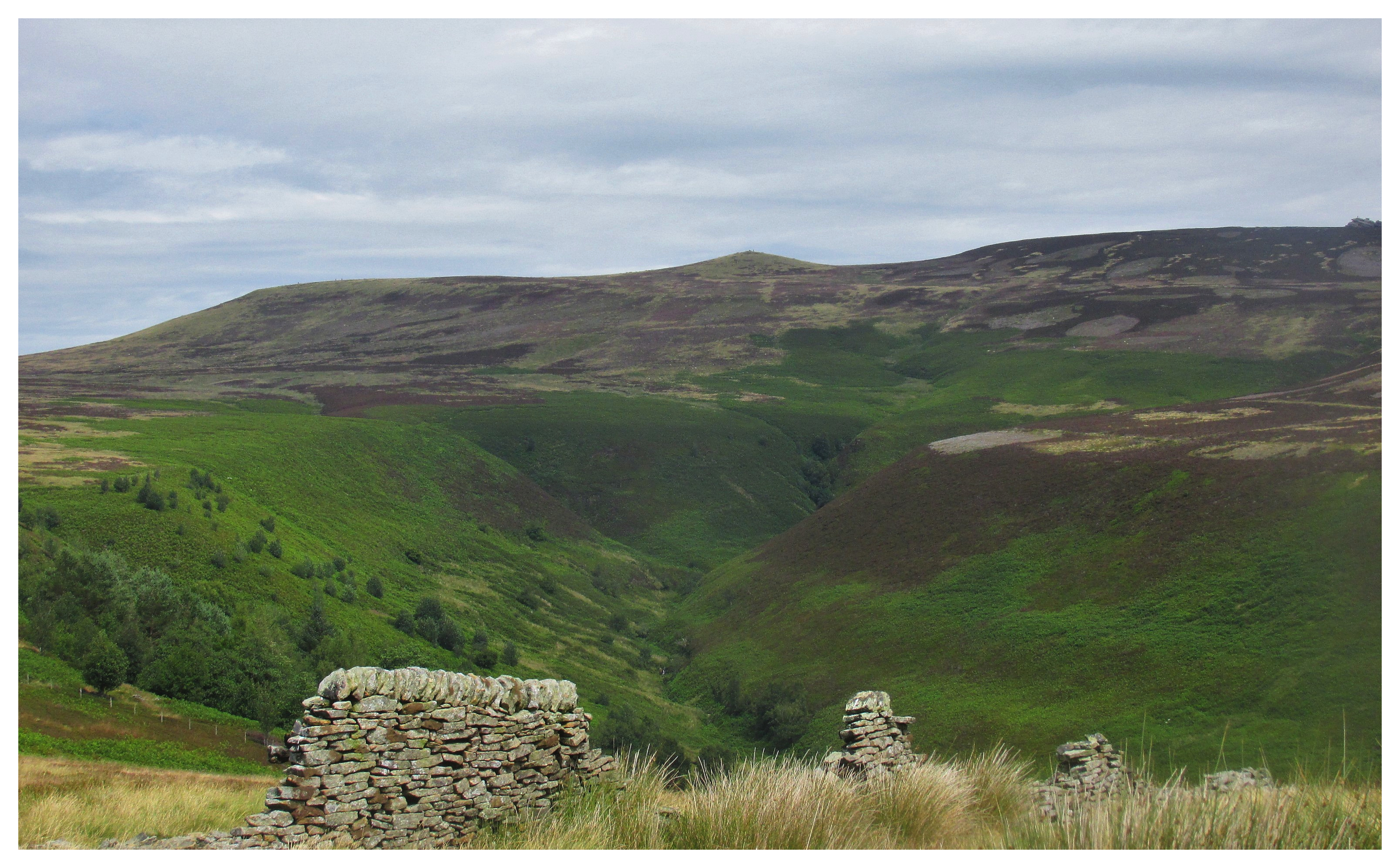
Upper Derwent Moors

Derwent Edge, End of Summer

Back Tor....

Bleaklow Stones

Near Black Clough

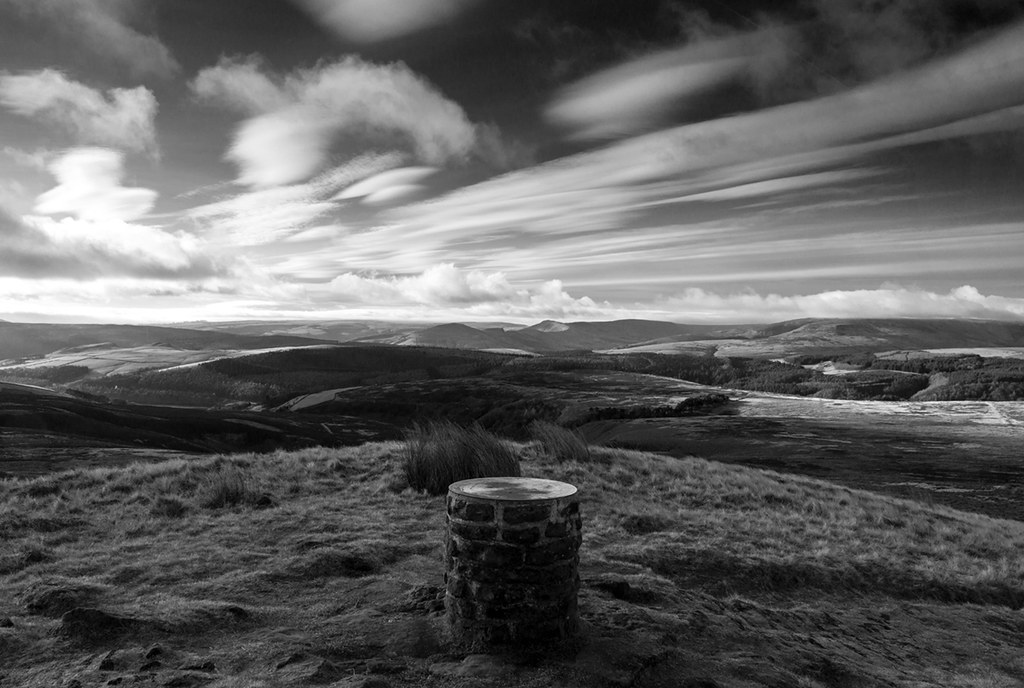
Kinder view (explored)
Peak 170...No 68...Pike low.

Peak 170...No 67...Lost lad.

Goethe's dream(3)

Howden Reservoir

Howden Reservoir

The Great Ridge

Howden Reservoir
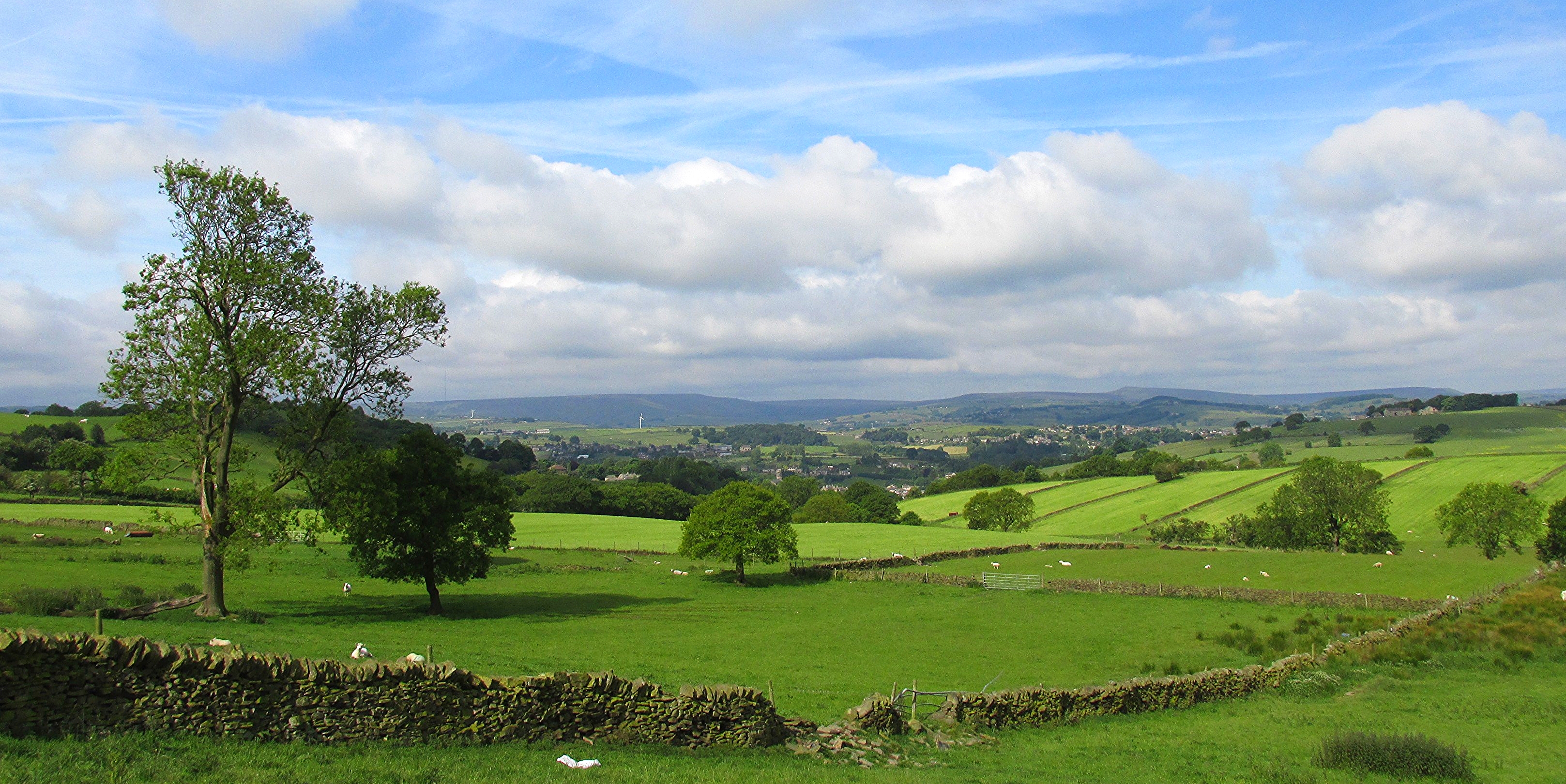
New Mill from Fulstone.

View over Holme Styes Wood.jpg
Lost Lad

Passing Paddock
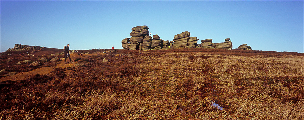
wheel stones

Chevet Branch Line Near Old Royston Wakefield Yorkshire

View from Whinstone Lee Tor, Derwent Edge

Margery stones.
Cranberry clough.

Castle Hill, Huddersfield, West Yorkshire, Uk.

River Derwent

Red Grouse

Derbyshire Ravens

lunch stop

100 Peak tops...No 39...Whitwell moor.

Small waterfall in Wharncliffe woods.

Lines and Angles

Salt Cellar

Misty Woodland Wonder

Crow Stones

Anvil Stone

The Peak district national park.

Ramsden clough.

Locker Brook
Topographic Map of Thurlstone, Sheffield S36 9QF, UK
Find elevation by address:

Places near Thurlstone, Sheffield S36 9QF, UK:
Thurlstone
11a
Folly Lane
Folly Lane
S36 9qq
S36 7ez
Millhouse Green
Gledhill Avenue
Pendon House
Cubley
Penistone
Langsett
S36 9nt
Brown's Edge Road
Birdsedge
30 Dearne Park, Clayton West, Huddersfield HD8 9NB, UK
Shelley
22 Smith Rd
22 Smith Rd
Hill Top
Recent Searches:
- Elevation of Corso Fratelli Cairoli, 35, Macerata MC, Italy
- Elevation of Tallevast Rd, Sarasota, FL, USA
- Elevation of 4th St E, Sonoma, CA, USA
- Elevation of Black Hollow Rd, Pennsdale, PA, USA
- Elevation of Oakland Ave, Williamsport, PA, USA
- Elevation of Pedrógão Grande, Portugal
- Elevation of Klee Dr, Martinsburg, WV, USA
- Elevation of Via Roma, Pieranica CR, Italy
- Elevation of Tavkvetili Mountain, Georgia
- Elevation of Hartfords Bluff Cir, Mt Pleasant, SC, USA