Elevation of Folly Lane, Folly Ln, Thurlstone, Sheffield S36, UK
Location: United Kingdom > England > South Yorkshire > Thurlstone >
Longitude: -1.6557706
Latitude: 53.5350659
Elevation: 249m / 817feet
Barometric Pressure: 98KPa
Elevation Map:
Satellite Map:
Related Photos:

100 Peak tops...No 36...Bleaklow stones.

Upper Derwent Moors

Back Tor....

Back Tor View

Kinder view (explored)

Gunthwaite Causey

100 Peak tops...No 39...Whitwell moor.
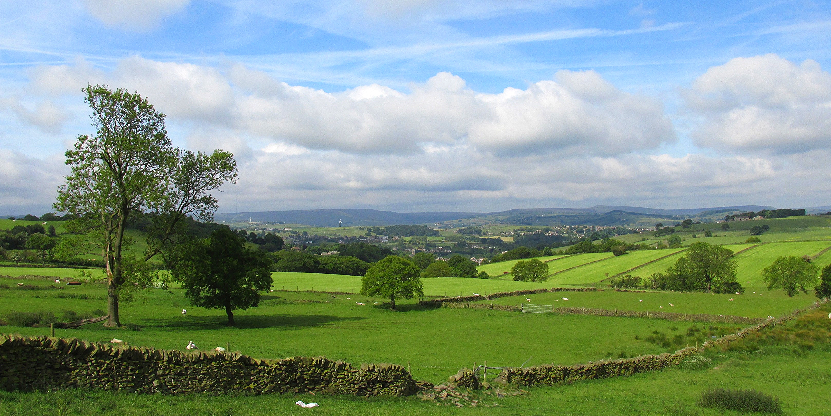
New Mill from Fulstone.

View over Holme Styes Wood.jpg

Passing Paddock
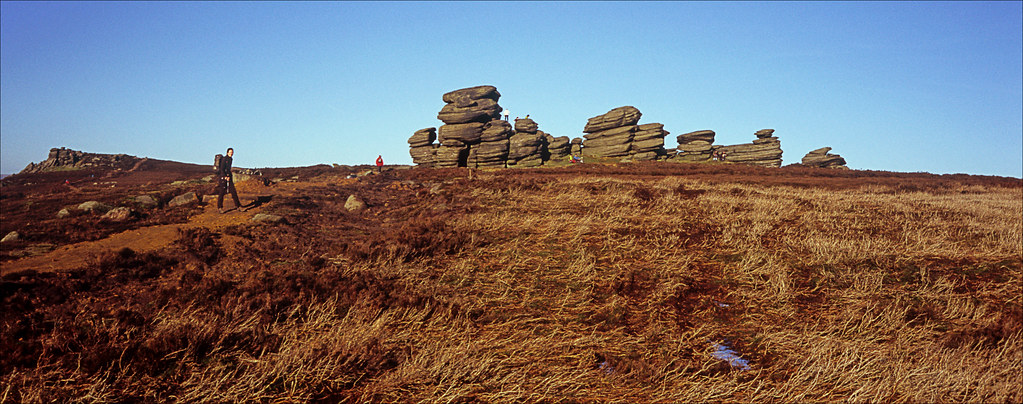
wheel stones

woodhead reservoir

Back Tor

1365c Grass
High Brow.

First Service

Holme Moss West Yorkshire 3rd September 2020

Howden Reservoir

Last of Autumn
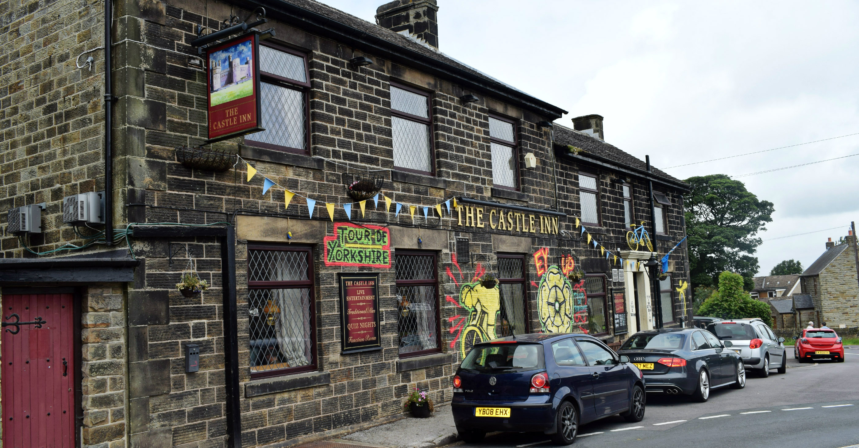
The Castle....Bolsterstone
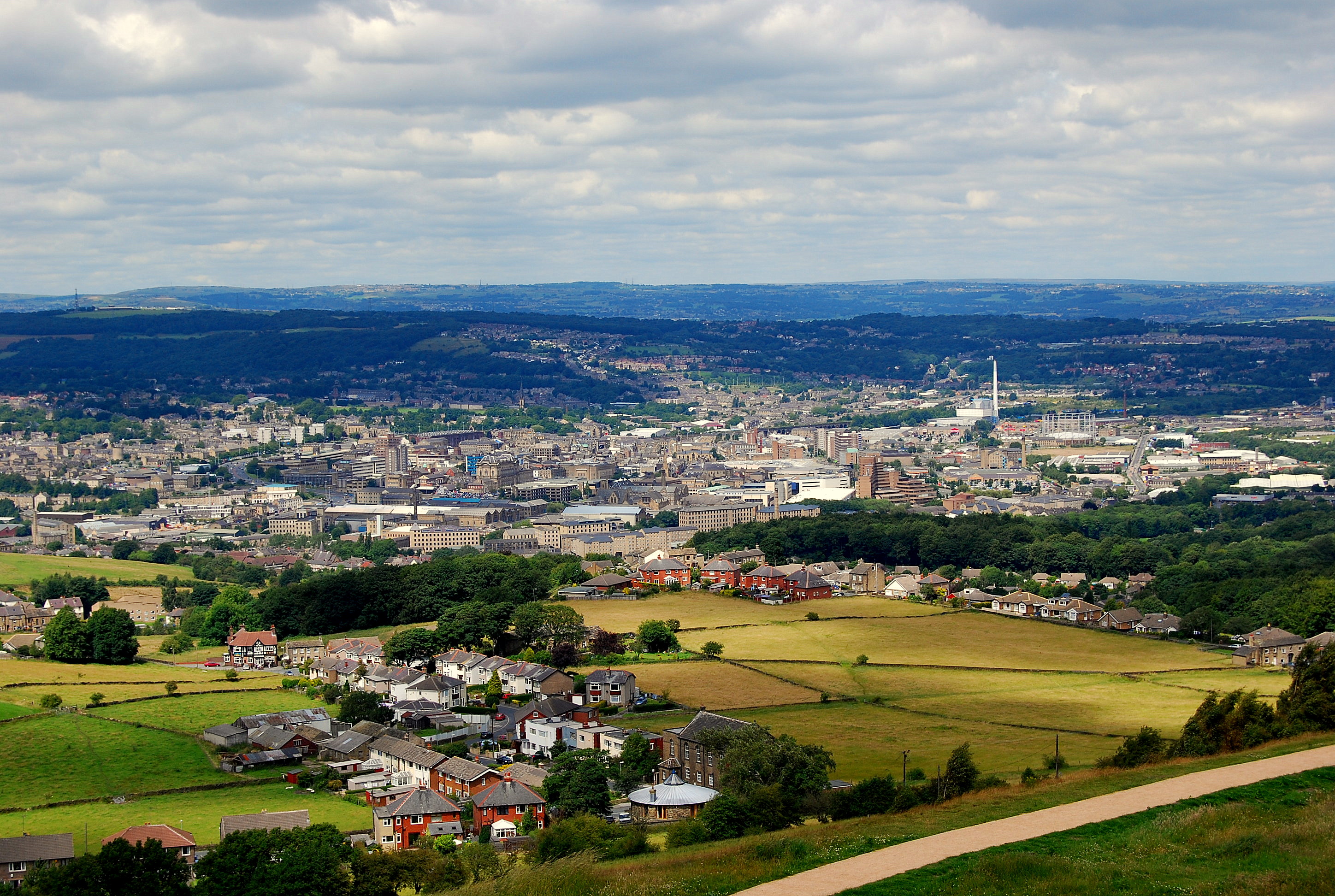
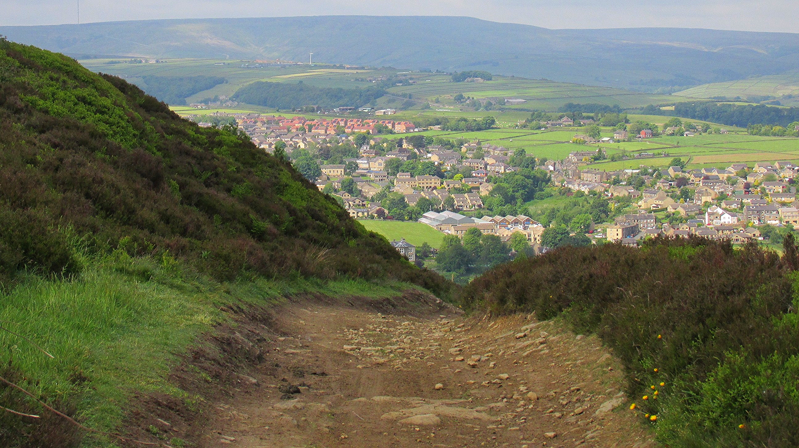
Huddersfield from Castle Hill

Margery stones.
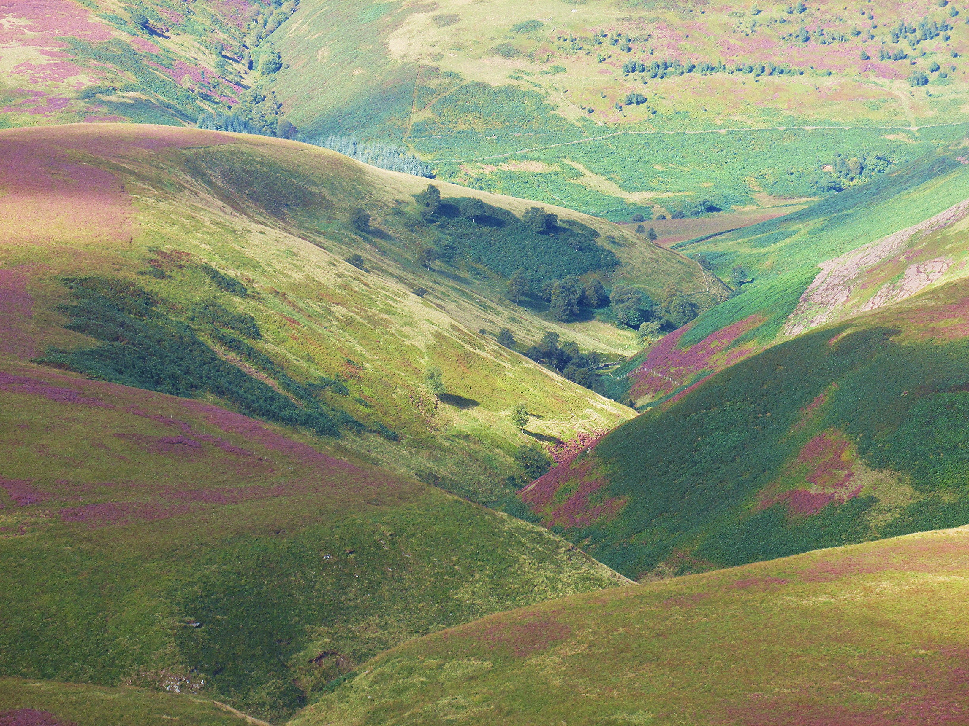
Cranberry clough.

Castle Hill, Huddersfield, West Yorkshire, Uk.

River Derwent

Derbyshire Ravens

Alport valley.

I Want To Go To The Beech

Howden Reservoir

Tranquility!

Derwent Reservoir, Peak District, Derbyshire

High Bradfield churchyard.

Small waterfall in Wharncliffe woods.

Red Wood

Howden Reservoir

Anvil Stone

Pennine Road

Bleaklow Stones

Bull Stones

When the wind blows...
Topographic Map of Folly Lane, Folly Ln, Thurlstone, Sheffield S36, UK
Find elevation by address:

Places near Folly Lane, Folly Ln, Thurlstone, Sheffield S36, UK:
Folly Lane
S36 9qf
Thurlstone
11a
S36 7ez
S36 9qq
Millhouse Green
Gledhill Avenue
Pendon House
Cubley
Penistone
S36 9nt
Langsett
Brown's Edge Road
Birdsedge
Shelley
30 Dearne Park, Clayton West, Huddersfield HD8 9NB, UK
Hill Top
22 Smith Rd
22 Smith Rd
Recent Searches:
- Elevation of Corso Fratelli Cairoli, 35, Macerata MC, Italy
- Elevation of Tallevast Rd, Sarasota, FL, USA
- Elevation of 4th St E, Sonoma, CA, USA
- Elevation of Black Hollow Rd, Pennsdale, PA, USA
- Elevation of Oakland Ave, Williamsport, PA, USA
- Elevation of Pedrógão Grande, Portugal
- Elevation of Klee Dr, Martinsburg, WV, USA
- Elevation of Via Roma, Pieranica CR, Italy
- Elevation of Tavkvetili Mountain, Georgia
- Elevation of Hartfords Bluff Cir, Mt Pleasant, SC, USA