Elevation of Thompson Rd, Florence, WI, USA
Location: United States > Wisconsin > Florence County > Florence > Florence >
Longitude: -88.341021
Latitude: 45.8673636
Elevation: 382m / 1253feet
Barometric Pressure: 97KPa
Elevation Map:
Satellite Map:
Related Photos:

peaceful flow...

View Across the Lake With Awesome Clouds

Native Irises at Sand Lake

Meyers Falls October 20101

Sand Lake Panoramic

Sand Lake Sunset

Birch Reflected on Sand Lake

Sweet Jenny

Relaxing on Railroad Lake

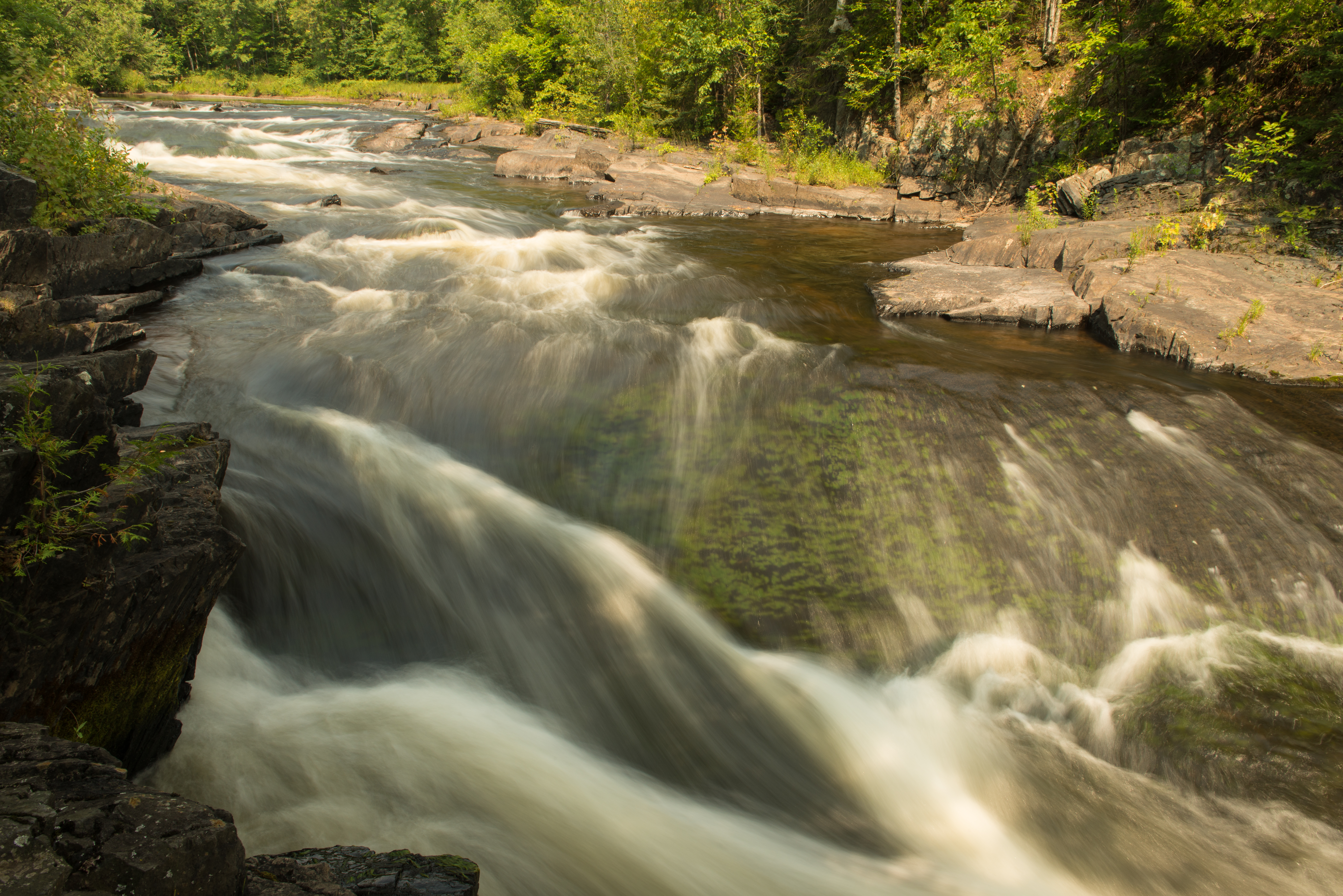
Pine River Rapids-4

Perfect summer day.

Pine Again
Michigan 2013-4715

Horse Race Rapids

Barrens Sisters

Brule River at Carney Dam

Washburn Falls a

Lines and Shapes

13 LaSalle Falls

Horse Race Rapids

Washburn Falls

2011-11-19_08-11-20_305
Topographic Map of Thompson Rd, Florence, WI, USA
Find elevation by address:

Places near Thompson Rd, Florence, WI, USA:
Fern
Norway Pine Ln, Florence, WI, USA
Florence County
US-2, Florence, WI, USA
Florence
Florence
Fence
Ardens Road
US-2, Florence, WI, USA
Fence
Guardian Angels Church
N 6th St, Crystal Falls, MI, USA
Pine Mountain Resort
412 Fairmount St
Kingsford, MI, USA
W11515
Kingsford
Iron Mountain
313 E Margaret St
Oscar G Johnson Va Medical Center
Recent Searches:
- Elevation of Corso Fratelli Cairoli, 35, Macerata MC, Italy
- Elevation of Tallevast Rd, Sarasota, FL, USA
- Elevation of 4th St E, Sonoma, CA, USA
- Elevation of Black Hollow Rd, Pennsdale, PA, USA
- Elevation of Oakland Ave, Williamsport, PA, USA
- Elevation of Pedrógão Grande, Portugal
- Elevation of Klee Dr, Martinsburg, WV, USA
- Elevation of Via Roma, Pieranica CR, Italy
- Elevation of Tavkvetili Mountain, Georgia
- Elevation of Hartfords Bluff Cir, Mt Pleasant, SC, USA