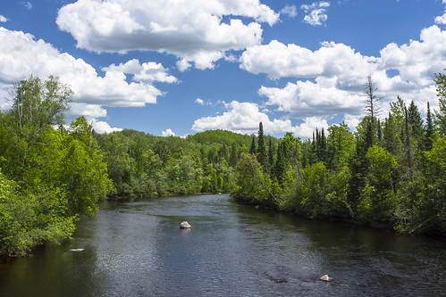
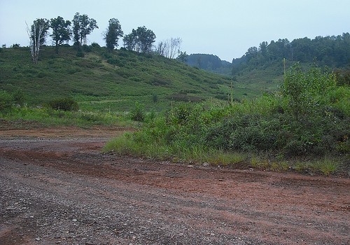
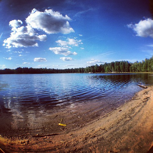
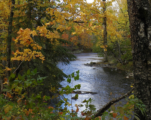
Elevation of Florence County, WI, USA
Location: United States > Wisconsin >
Longitude: -88.354752
Latitude: 45.8161658
Elevation: 396m / 1299feet
Barometric Pressure: 97KPa
Related Photos:
Topographic Map of Florence County, WI, USA
Find elevation by address:

Places in Florence County, WI, USA:
Places near Florence County, WI, USA:
Fern
Norway Pine Ln, Florence, WI, USA
4158 Thompson Rd
Fence
Ardens Road
US-2, Florence, WI, USA
Florence
Florence
Fence
US-2, Florence, WI, USA
W11515
412 Fairmount St
Pine Mountain Resort
Kingsford, MI, USA
Guardian Angels Church
Kingsford
N 6th St, Crystal Falls, MI, USA
Iron Mountain
Oscar G Johnson Va Medical Center
313 E Margaret St
Recent Searches:
- Elevation of Corso Fratelli Cairoli, 35, Macerata MC, Italy
- Elevation of Tallevast Rd, Sarasota, FL, USA
- Elevation of 4th St E, Sonoma, CA, USA
- Elevation of Black Hollow Rd, Pennsdale, PA, USA
- Elevation of Oakland Ave, Williamsport, PA, USA
- Elevation of Pedrógão Grande, Portugal
- Elevation of Klee Dr, Martinsburg, WV, USA
- Elevation of Via Roma, Pieranica CR, Italy
- Elevation of Tavkvetili Mountain, Georgia
- Elevation of Hartfords Bluff Cir, Mt Pleasant, SC, USA
