Elevation of Fern, WI, USA
Location: United States > Wisconsin > Florence County >
Longitude: -88.373639
Latitude: 45.8354232
Elevation: 389m / 1276feet
Barometric Pressure: 97KPa
Elevation Map:
Satellite Map:
Related Photos:
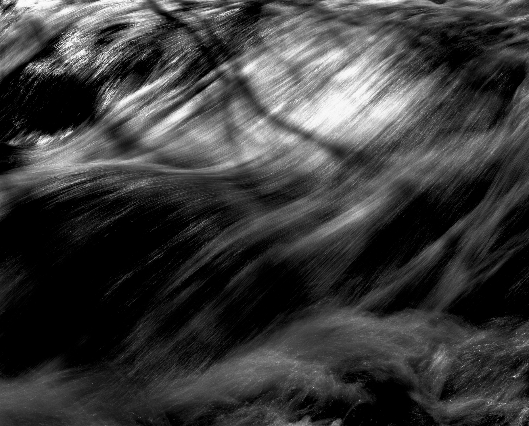
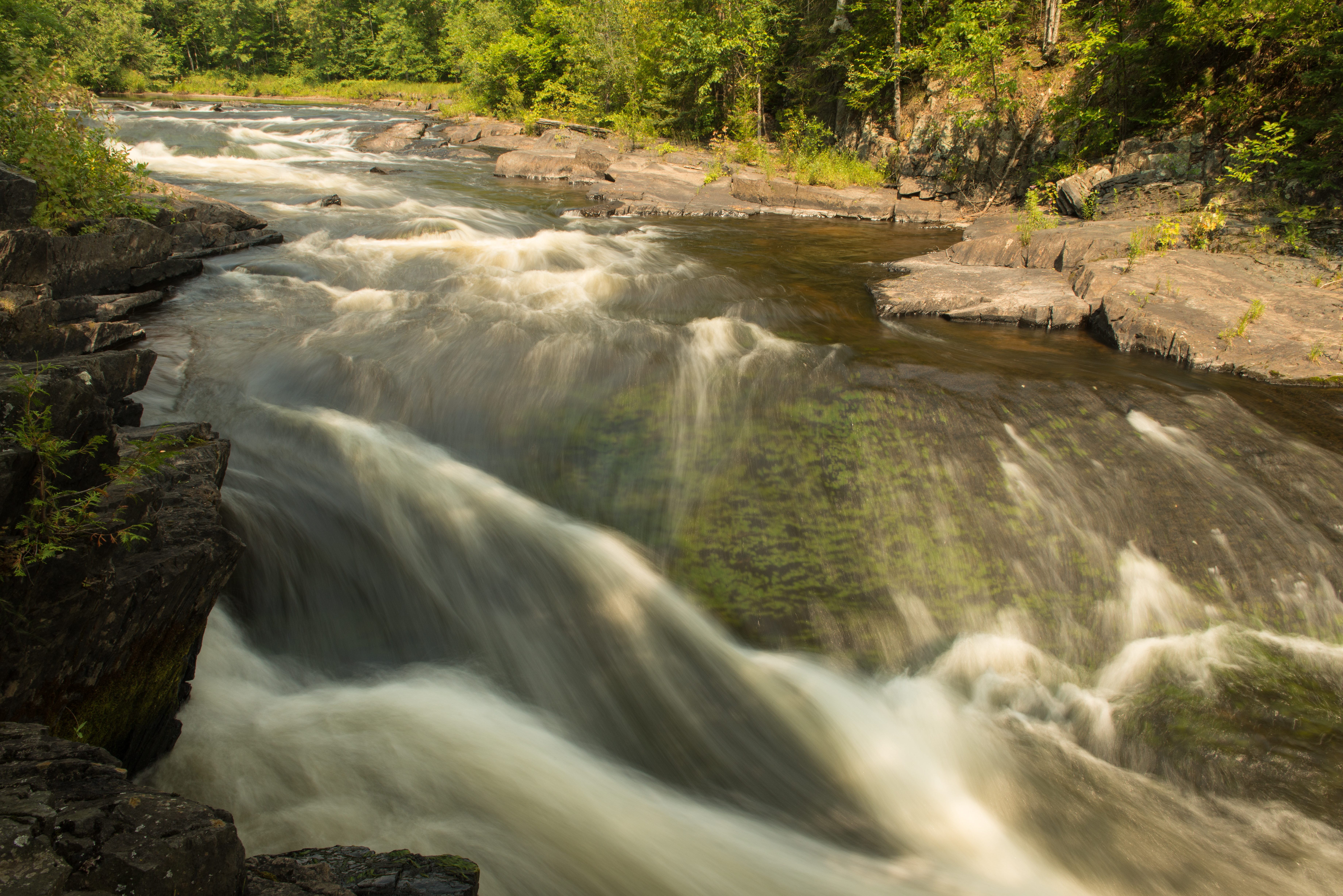
peaceful flow...

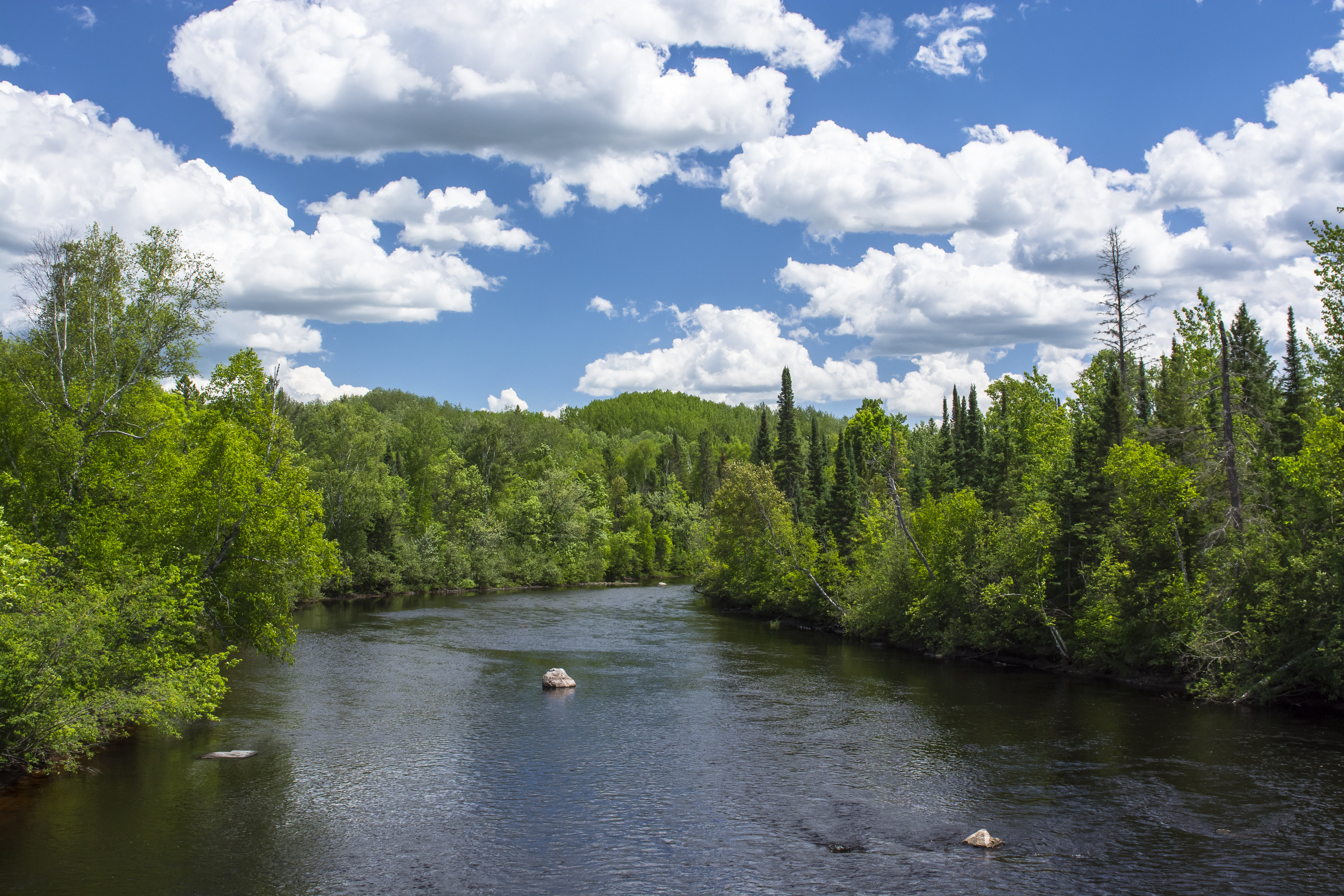
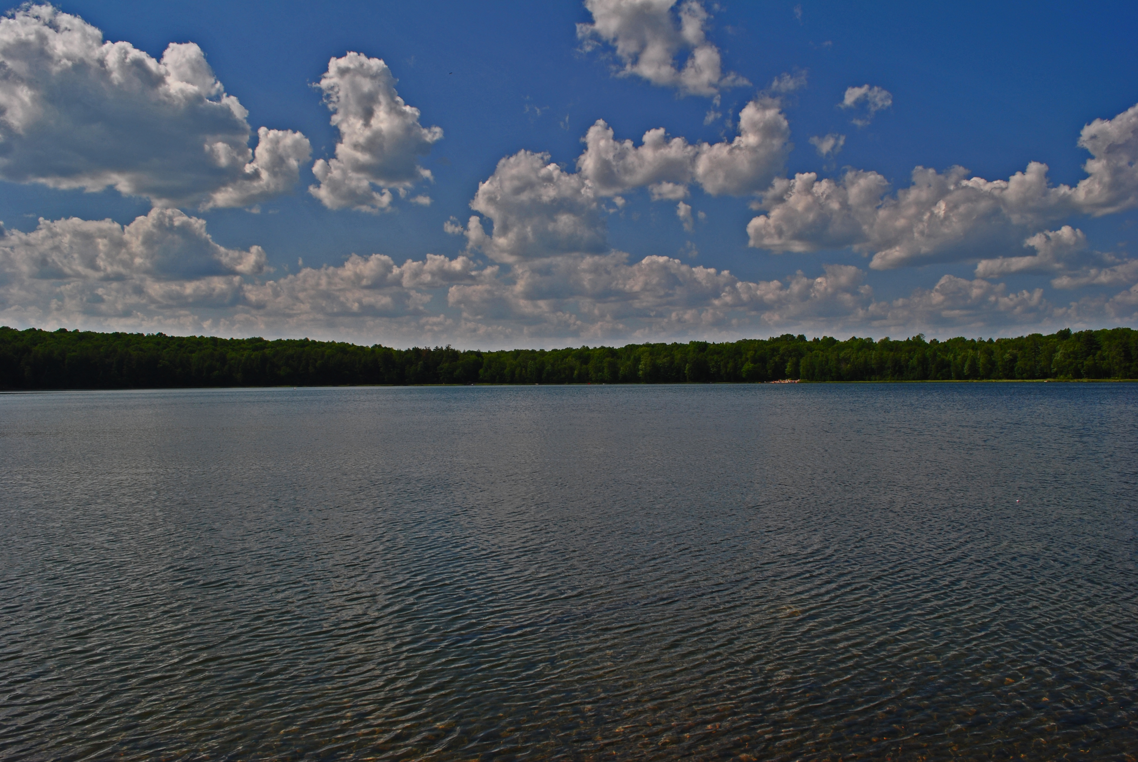
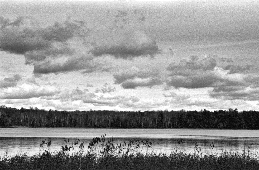
View Across the Lake With Awesome Clouds
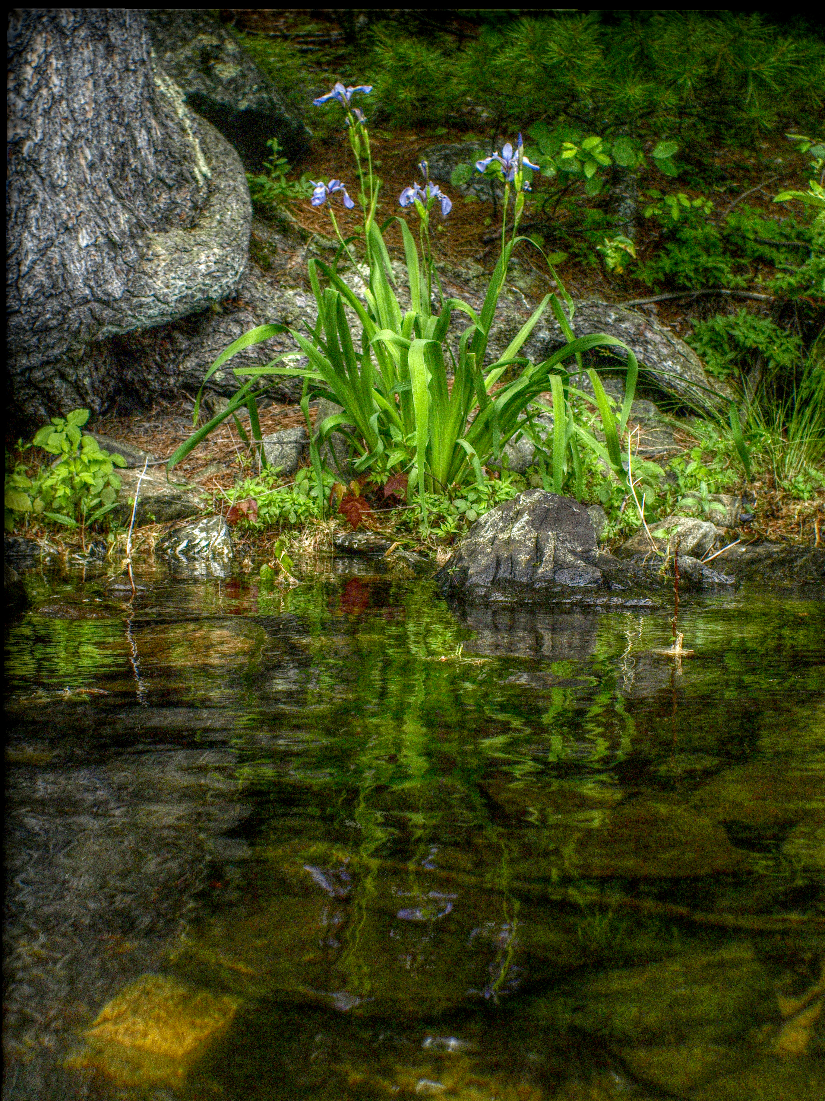
Native Irises at Sand Lake

WIPW - VII The Woods Are Full Of Surprises
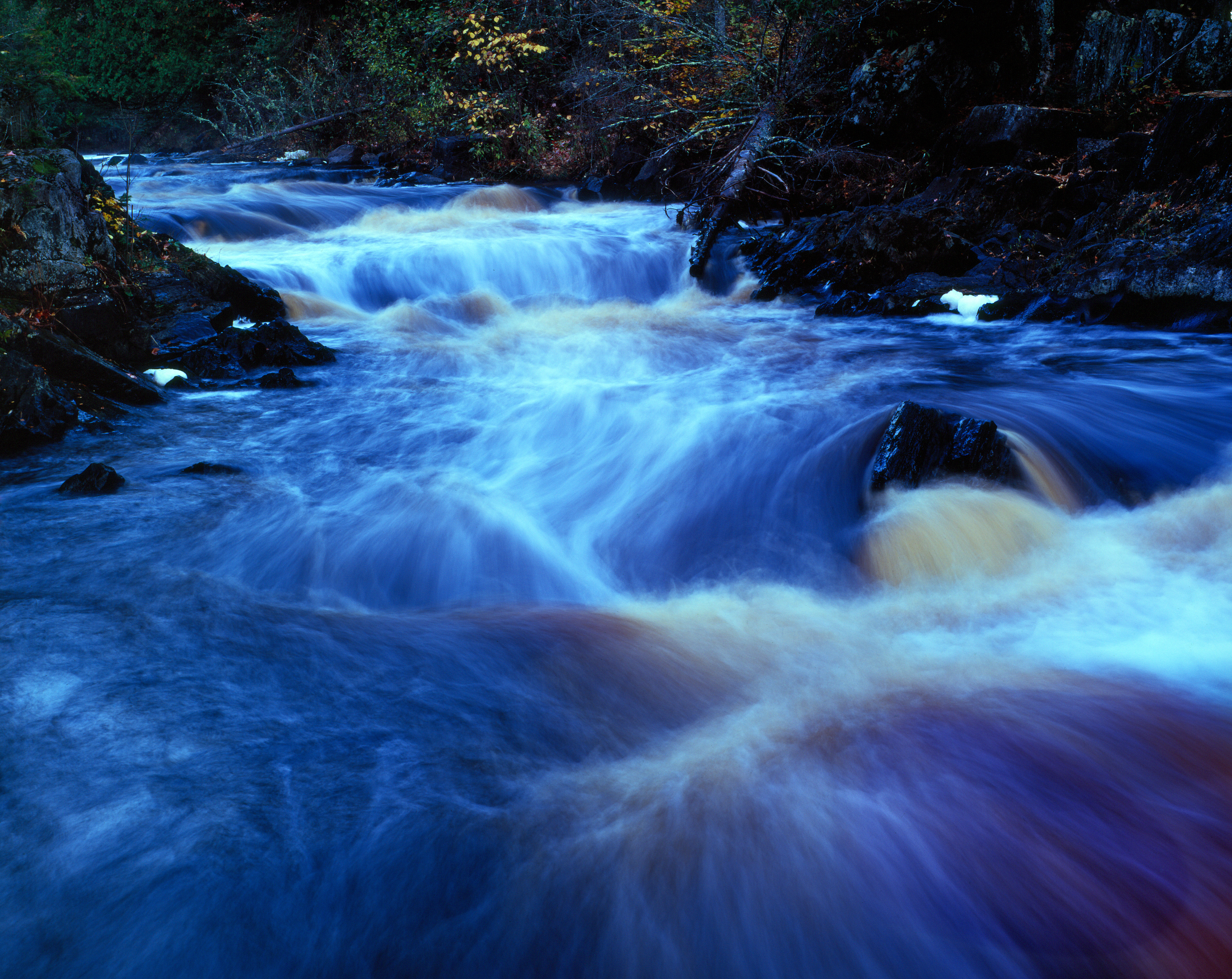
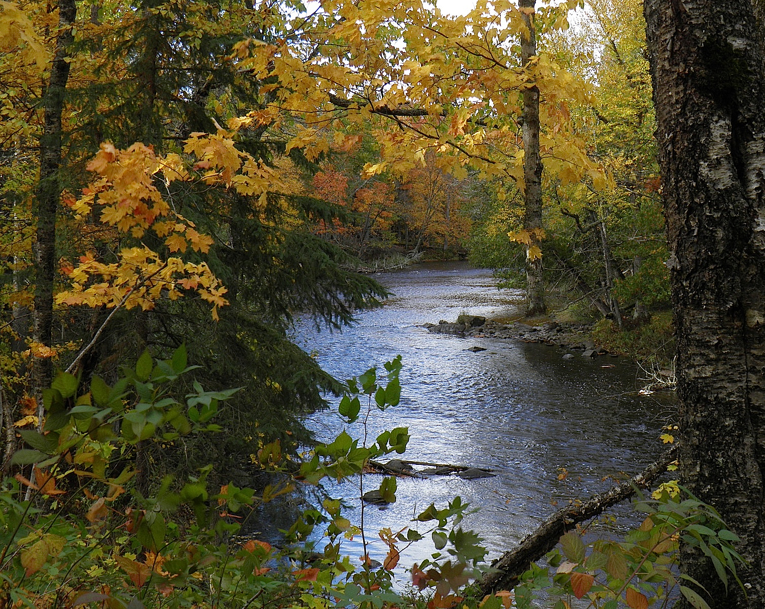
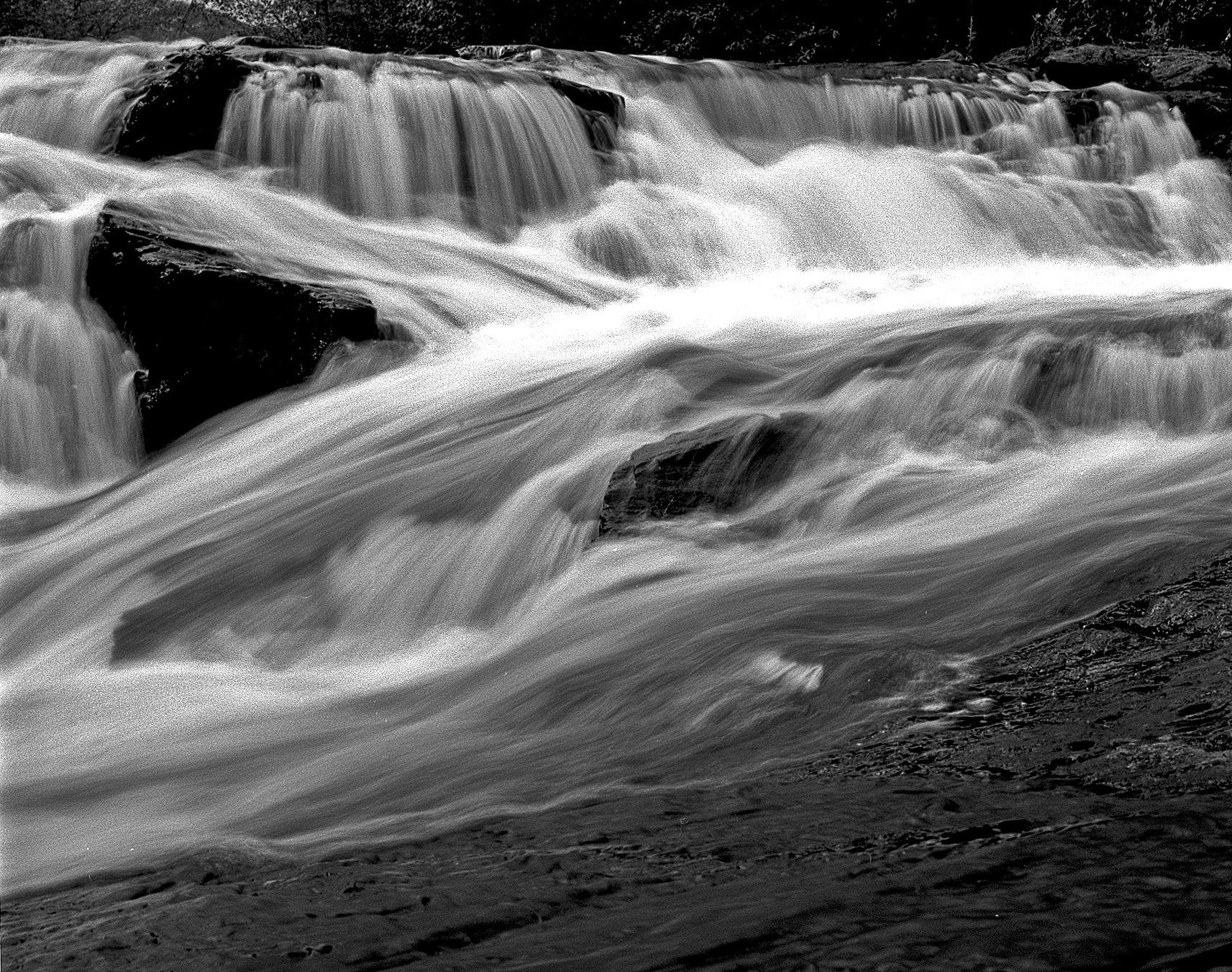
Meyers Falls October 20101

Battered, But Not Broken
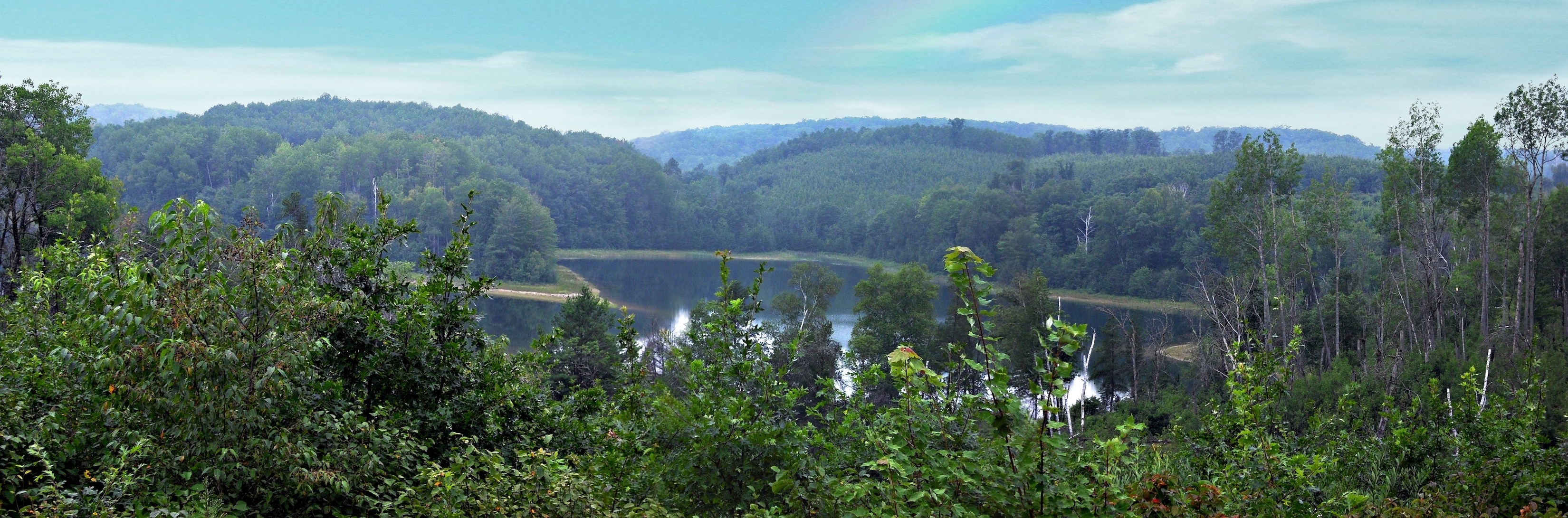
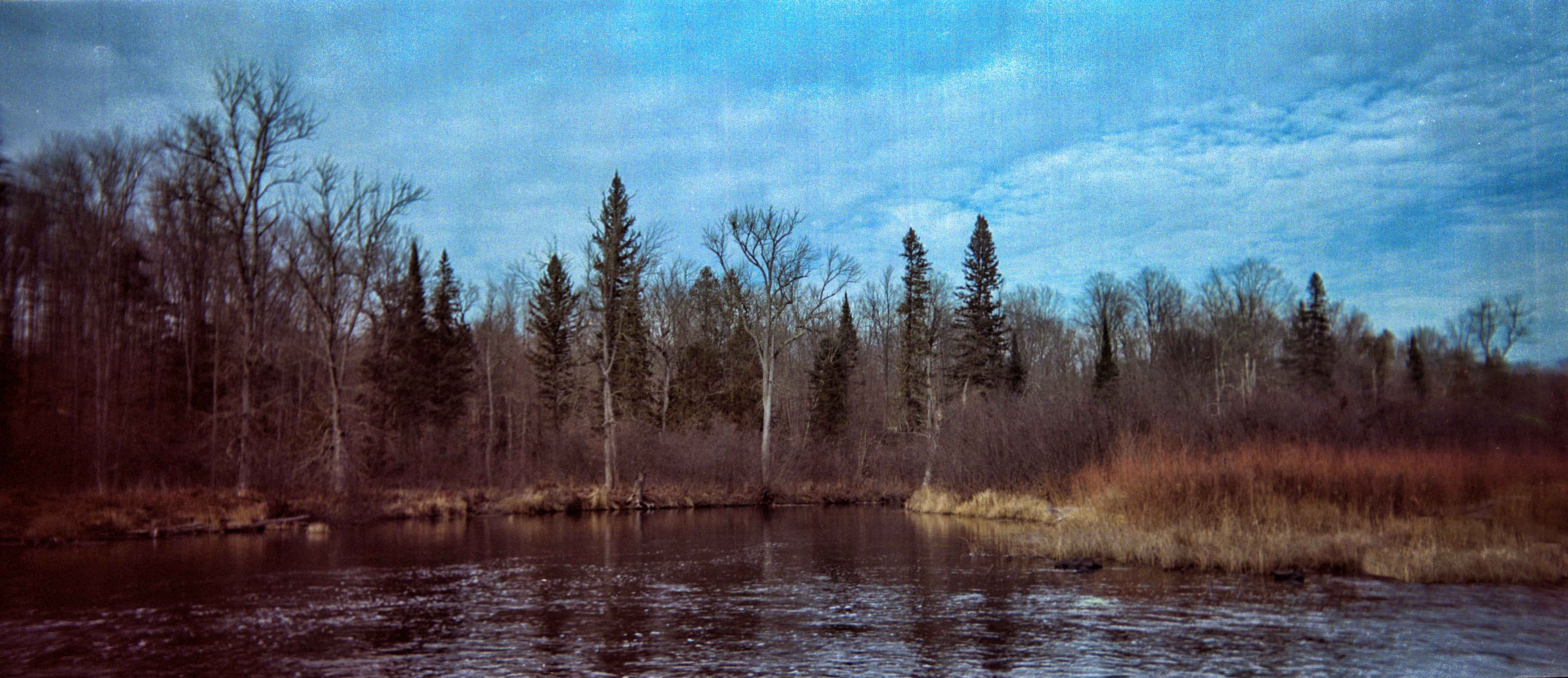
Sand Lake Panoramic
falls shadows
To No Where

MLS# 1092670
first night camping spot
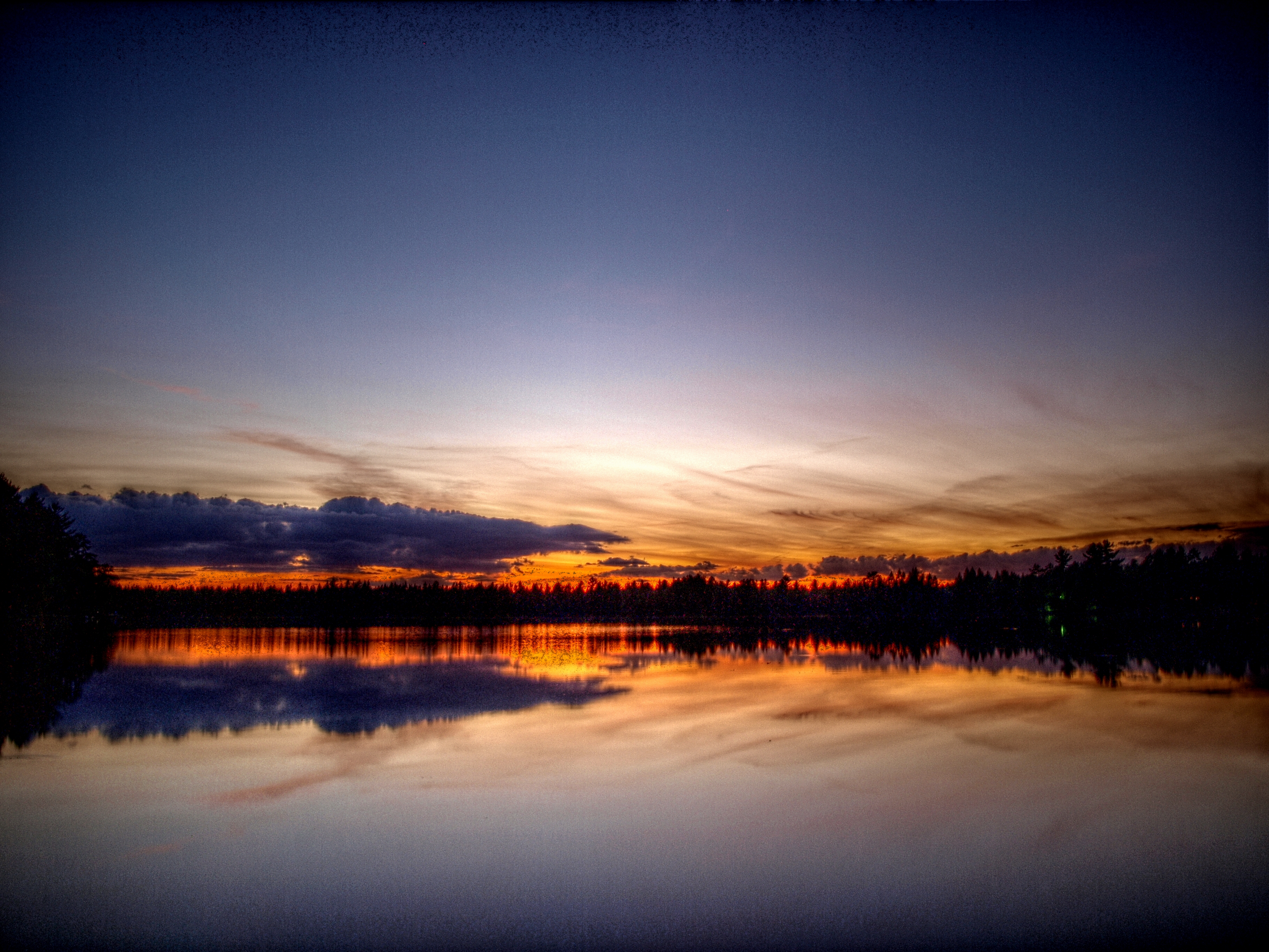
Sand Lake Sunset
Pine River November Panorama
Pine Again
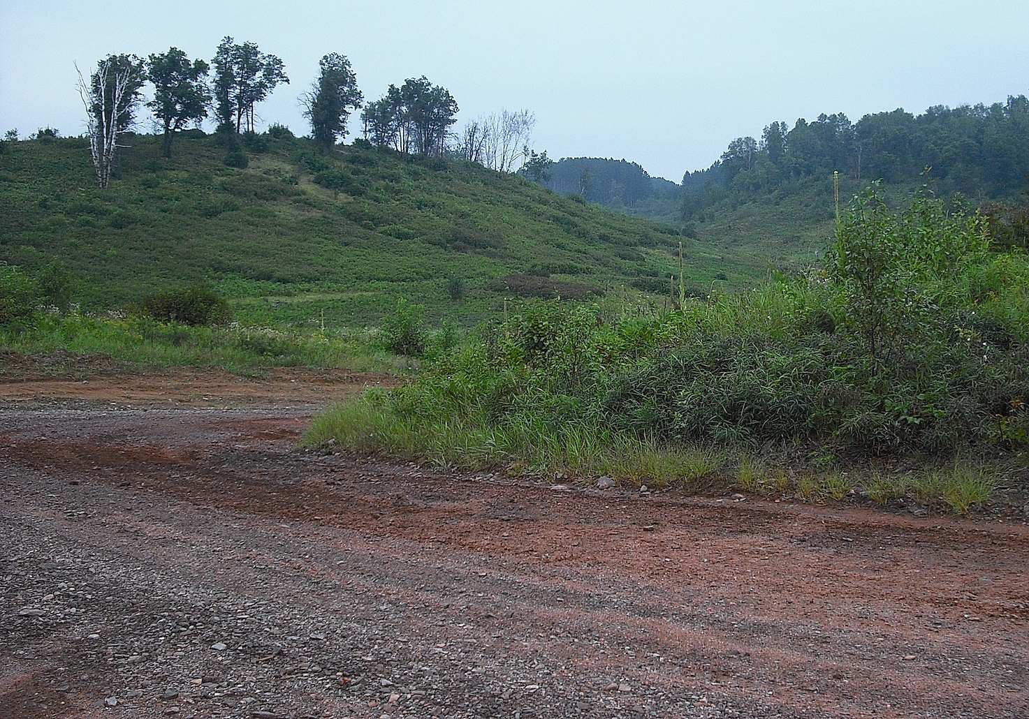
Assessor's Trail
Pine Rapids Color
Assessor's Trail

Root Flow
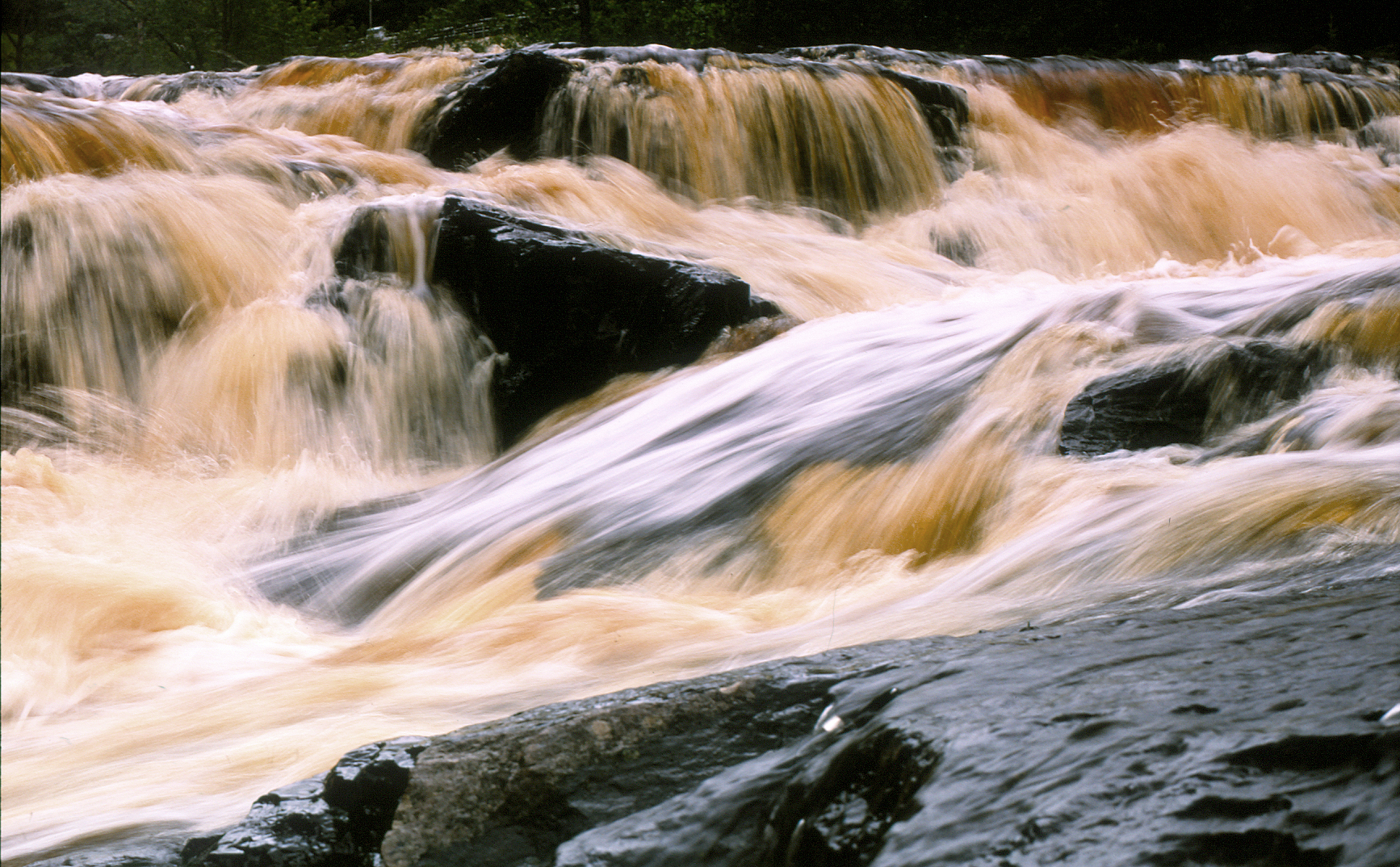
Pine River Rapids-4
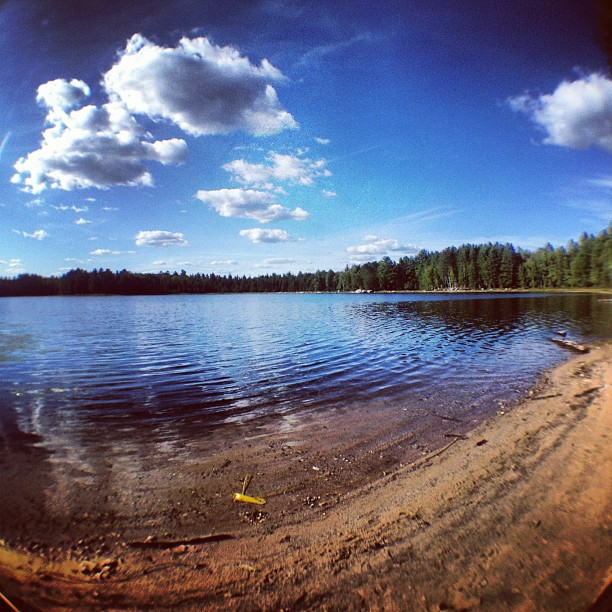
Lost Lake
2011-11-19_14-44-38_742
Michigan 2013-4715
Lost Lake

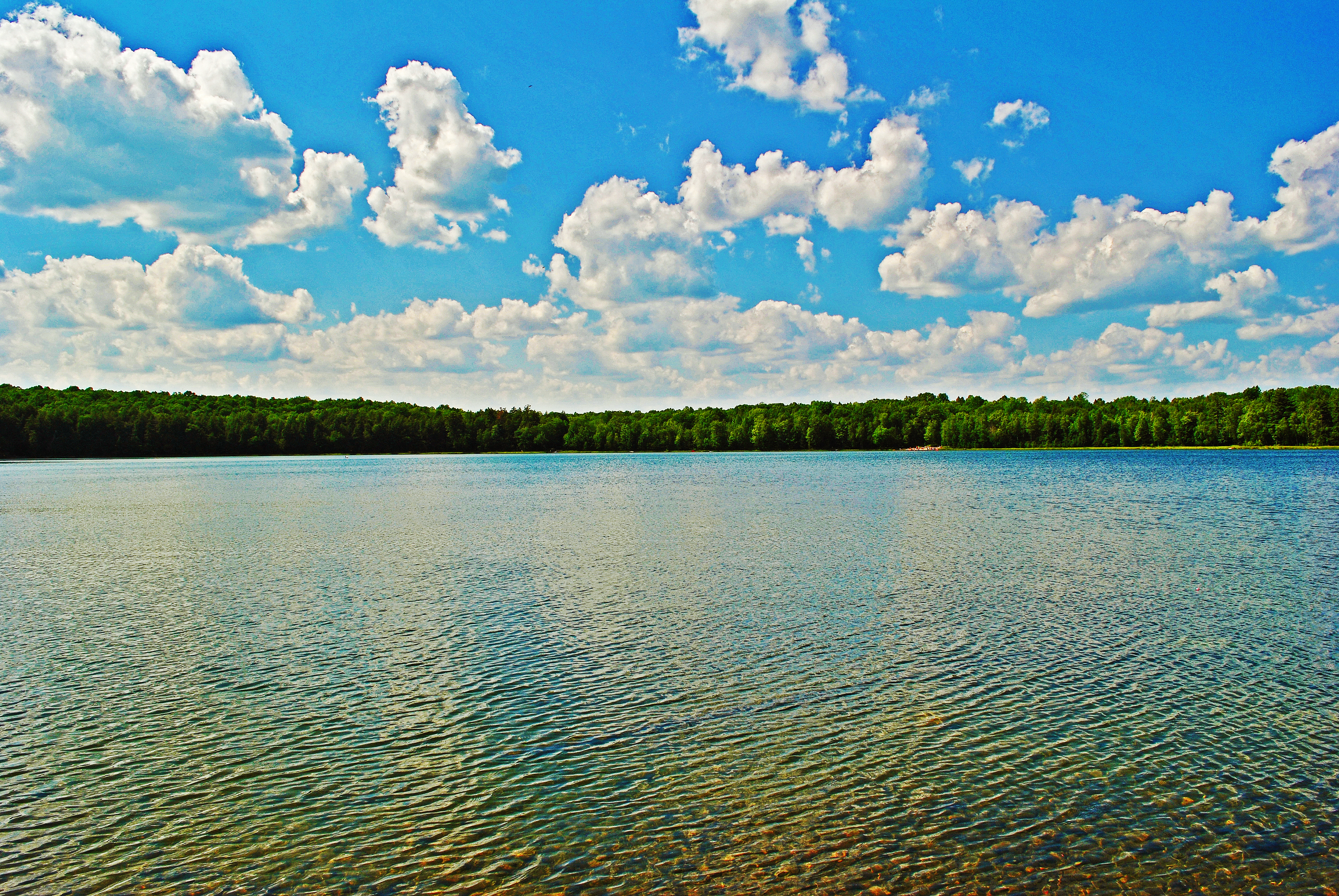
Perfect summer day.
Lost Lake
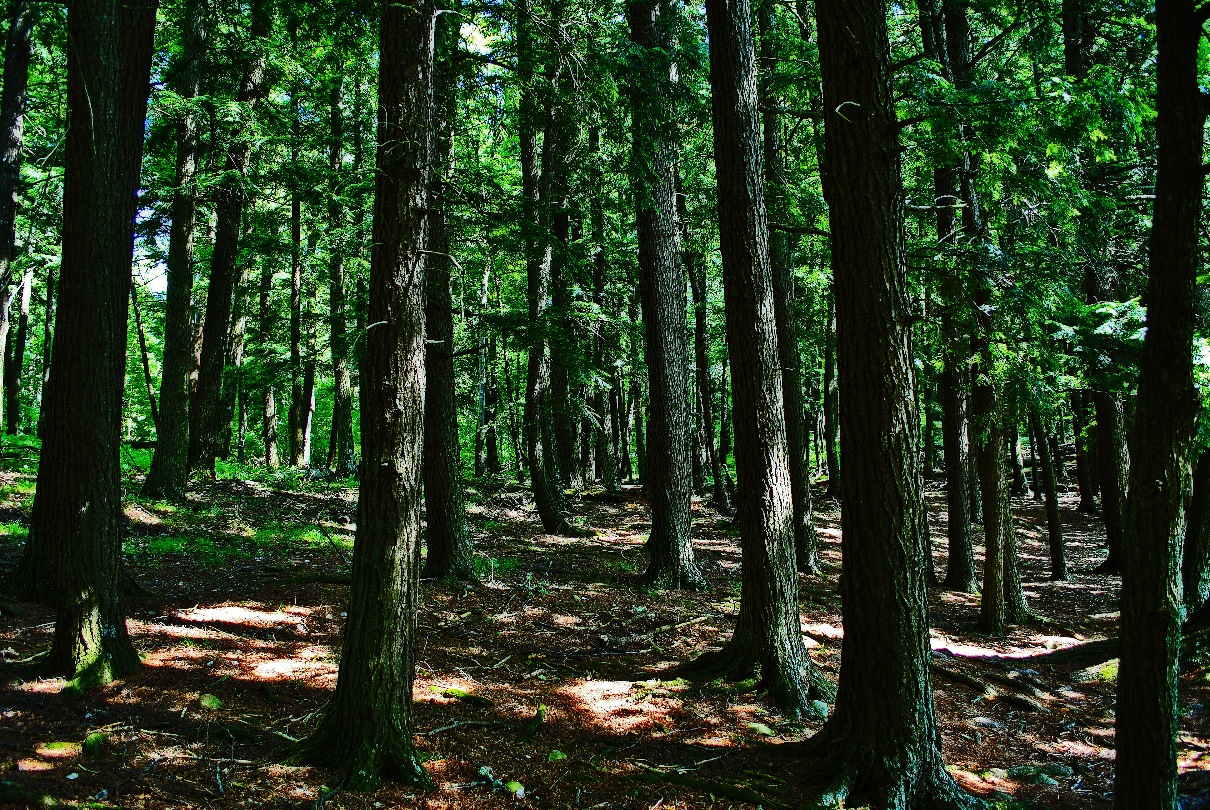
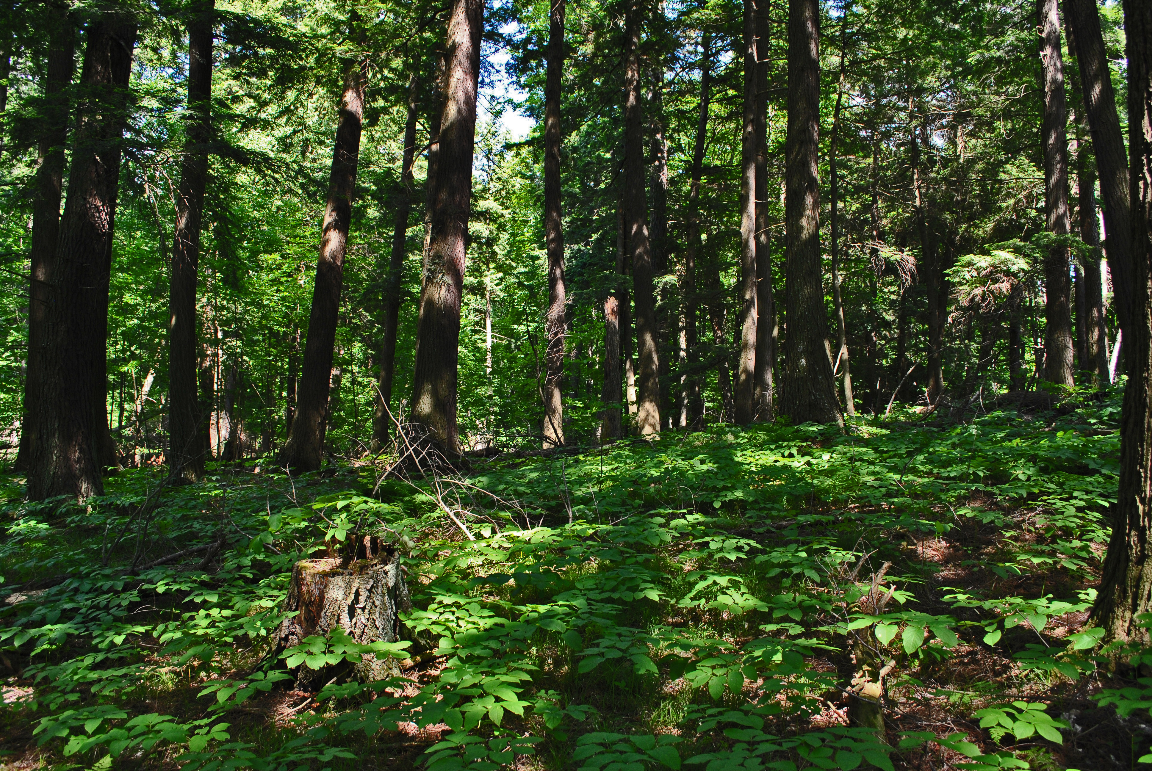
Hemlock around Lost Lake

Lake reflecting sky 2

Lost Lake
Topographic Map of Fern, WI, USA
Find elevation by address:

Places in Fern, WI, USA:
Places near Fern, WI, USA:
Norway Pine Ln, Florence, WI, USA
Florence County
4158 Thompson Rd
Fence
Ardens Road
Florence
US-2, Florence, WI, USA
Florence
Fence
US-2, Florence, WI, USA
Guardian Angels Church
N 6th St, Crystal Falls, MI, USA
W11515
412 Fairmount St
Pine Mountain Resort
Kingsford, MI, USA
Kingsford
Iron Mountain
Oscar G Johnson Va Medical Center
313 E Margaret St
Recent Searches:
- Elevation of Corso Fratelli Cairoli, 35, Macerata MC, Italy
- Elevation of Tallevast Rd, Sarasota, FL, USA
- Elevation of 4th St E, Sonoma, CA, USA
- Elevation of Black Hollow Rd, Pennsdale, PA, USA
- Elevation of Oakland Ave, Williamsport, PA, USA
- Elevation of Pedrógão Grande, Portugal
- Elevation of Klee Dr, Martinsburg, WV, USA
- Elevation of Via Roma, Pieranica CR, Italy
- Elevation of Tavkvetili Mountain, Georgia
- Elevation of Hartfords Bluff Cir, Mt Pleasant, SC, USA