Elevation of Thistle Dew Ln, Mountain Rest, SC, USA
Location: United States > South Carolina > Oconee County > Mountain Rest >
Longitude: -83.163177
Latitude: 34.8823224
Elevation: 538m / 1765feet
Barometric Pressure: 95KPa
Elevation Map:
Satellite Map:
Related Photos:

West Fork of the Chattooga River

Stumphouse Mountain Tunnel - Oconee Co, S.C.

Chattooga River Potholes Highlands NC - The Artist's Hand

Ice flow

NIK_1175.2 Walhalla Performing Arts Center

Rabun Bald

Chattooga River at Burrells Ford

View from W4G/NG-002 - Rabun Bald

View from Rabun Bald

View from Rabun Bald

Misty View from W4G/NG-002 Rabun Bald

Quick 360 View from W4G/NG-002 - Rabun Bald

View from Rabun Bald

View from Rabun Bald

Rabun Bald

Rabun Bald

Issaqueena Falls

Gentle Light

Secret Falls

Isaqueena Falls

Winter Blues
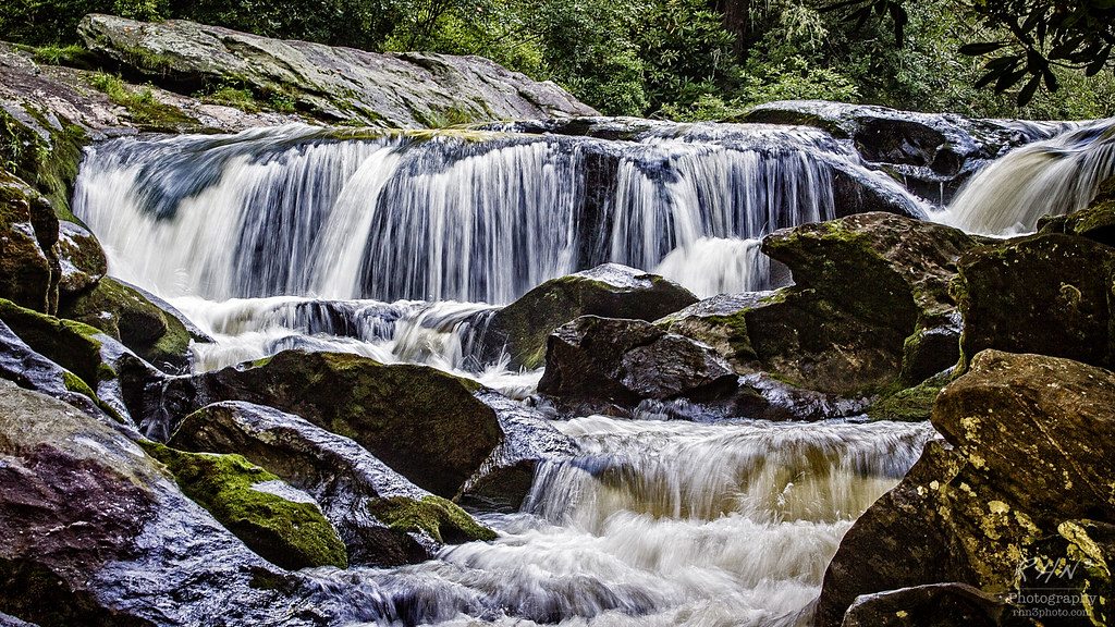
Chatooga River

Station Cove Falls - Another Angle

Oconee Trading Post Circa 1792

Oconee Station Falls III

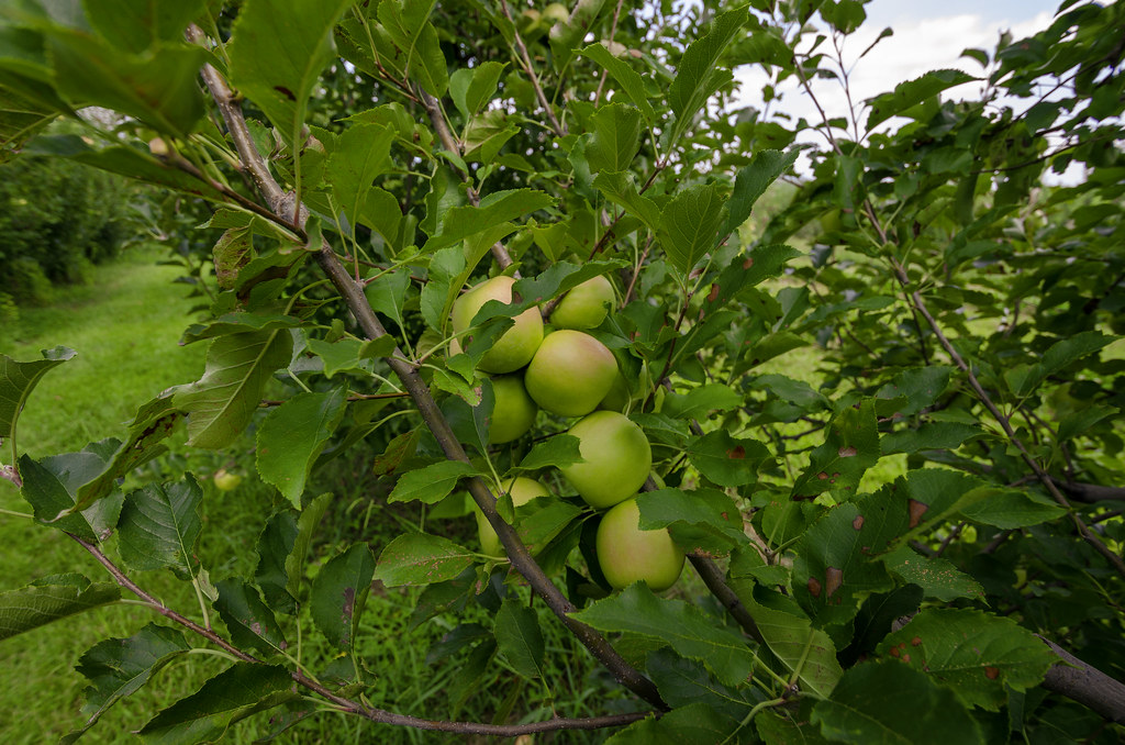
Apple On A Tree

Oconee Station Falls

Stone Blockhouse Oconee Station

Oconee Station Falls II

Station Cove Falls

Station Cove Falls II

Secret Falls, North Carolina
Station Cove Falls [EXPLORED]
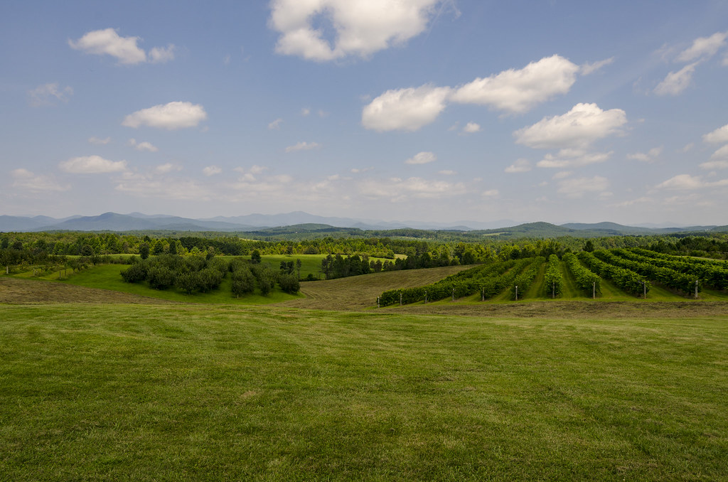
Chattooga Belle Farm

Apple Crop
Apple Crop II

Station Cove Trail II

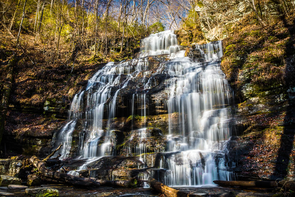
Yellow Branch falls

Potholes and fog from the Iron Bridge
Topographic Map of Thistle Dew Ln, Mountain Rest, SC, USA
Find elevation by address:

Places near Thistle Dew Ln, Mountain Rest, SC, USA:
125 Wren Rd
110 Wren Rd
155 Whippoorwill Hollow Rd
Auriti Ln, Mountain Rest, SC, USA
171 Lake Dr
551 Chattooga Lake Rd
Mountain Rest
251 Nature Ln
355 Big Oak Trail
681 Chattooga Lake Rd
175 W Village Creek Rd
186 Brians Lake Rd
675 Winding River Rd
629 Land Bridge Rd
Village Creek Road
198 Old Turnpike Rd
170 Bauknight Rd
Whetstone
120 Bonner Rd
334 Lake Becky Rd
Recent Searches:
- Elevation of Corso Fratelli Cairoli, 35, Macerata MC, Italy
- Elevation of Tallevast Rd, Sarasota, FL, USA
- Elevation of 4th St E, Sonoma, CA, USA
- Elevation of Black Hollow Rd, Pennsdale, PA, USA
- Elevation of Oakland Ave, Williamsport, PA, USA
- Elevation of Pedrógão Grande, Portugal
- Elevation of Klee Dr, Martinsburg, WV, USA
- Elevation of Via Roma, Pieranica CR, Italy
- Elevation of Tavkvetili Mountain, Georgia
- Elevation of Hartfords Bluff Cir, Mt Pleasant, SC, USA