Elevation of Winding River Rd, Mountain Rest, SC, USA
Location: United States > South Carolina > Oconee County > Mountain Rest >
Longitude: -83.151848
Latitude: 34.849034
Elevation: 517m / 1696feet
Barometric Pressure: 95KPa
Elevation Map:
Satellite Map:
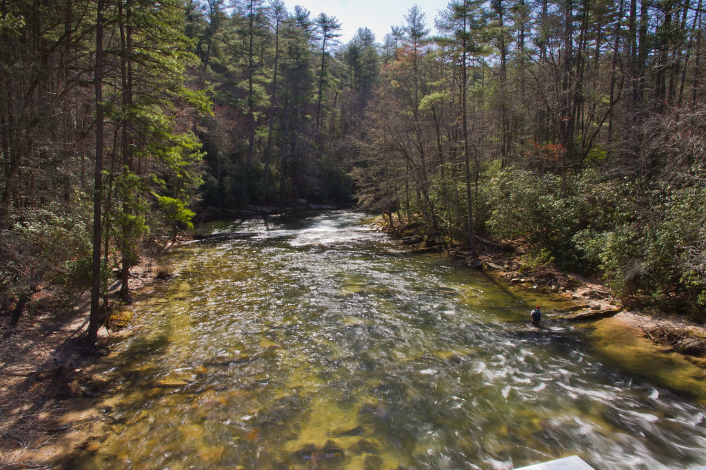
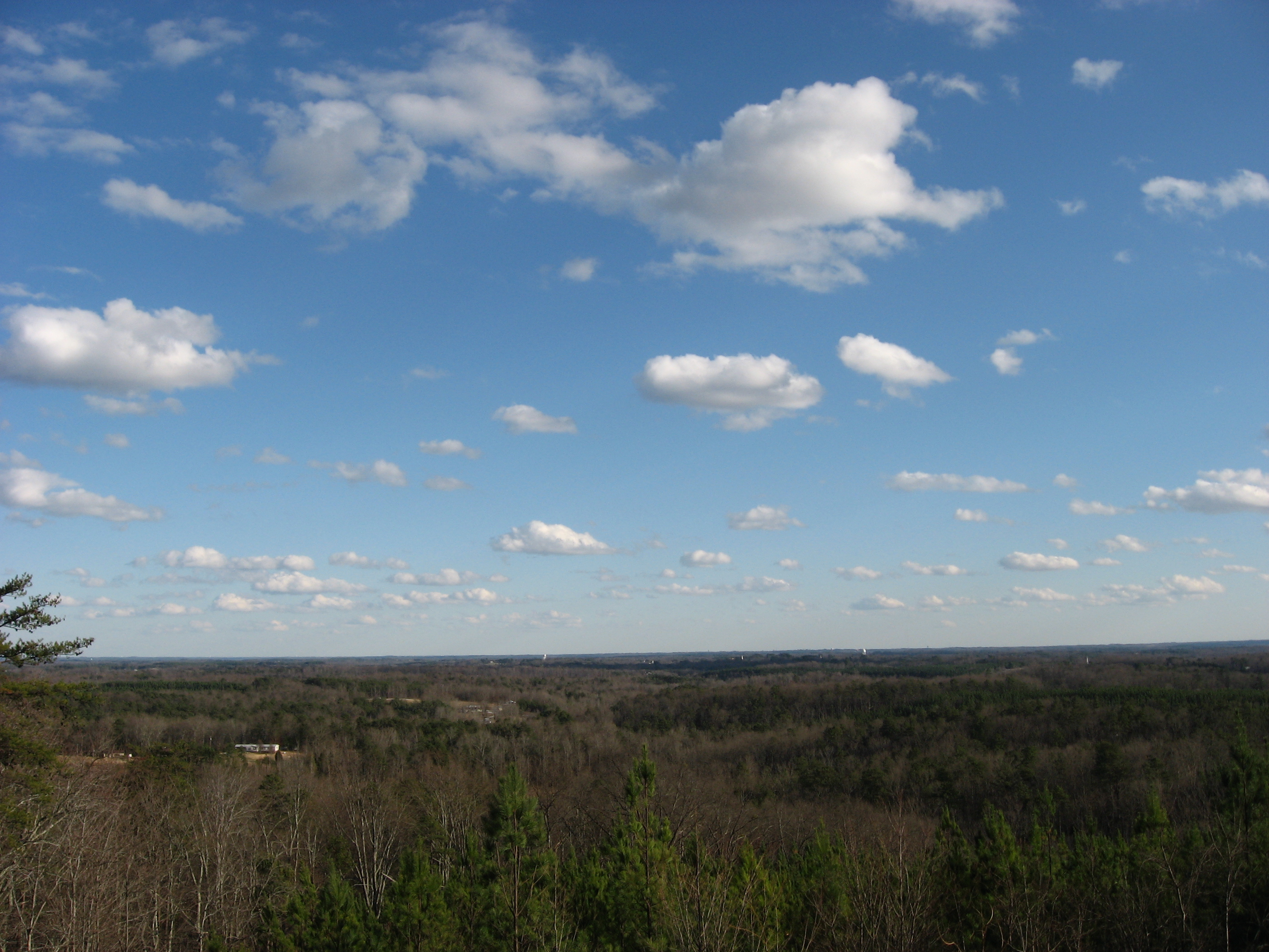
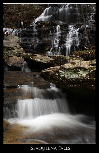
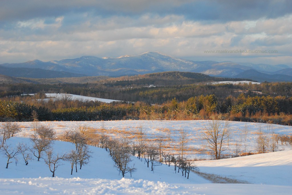
Related Photos:
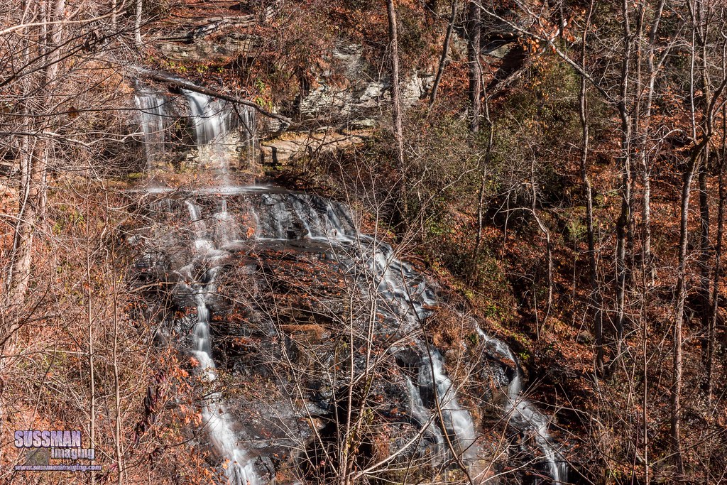
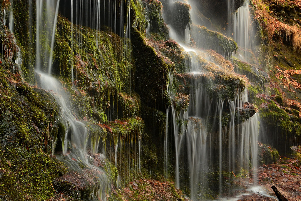
Isaqueena Falls

docked for the night

Miss Sunshine

Travel into the night
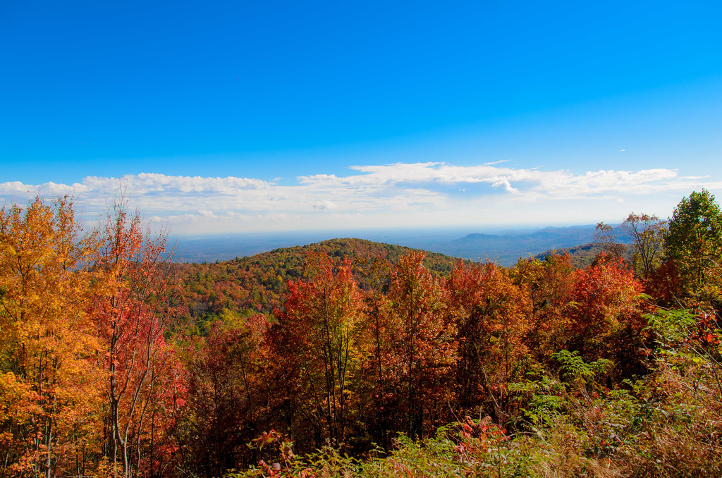
Mountain View

Sweet Dreams
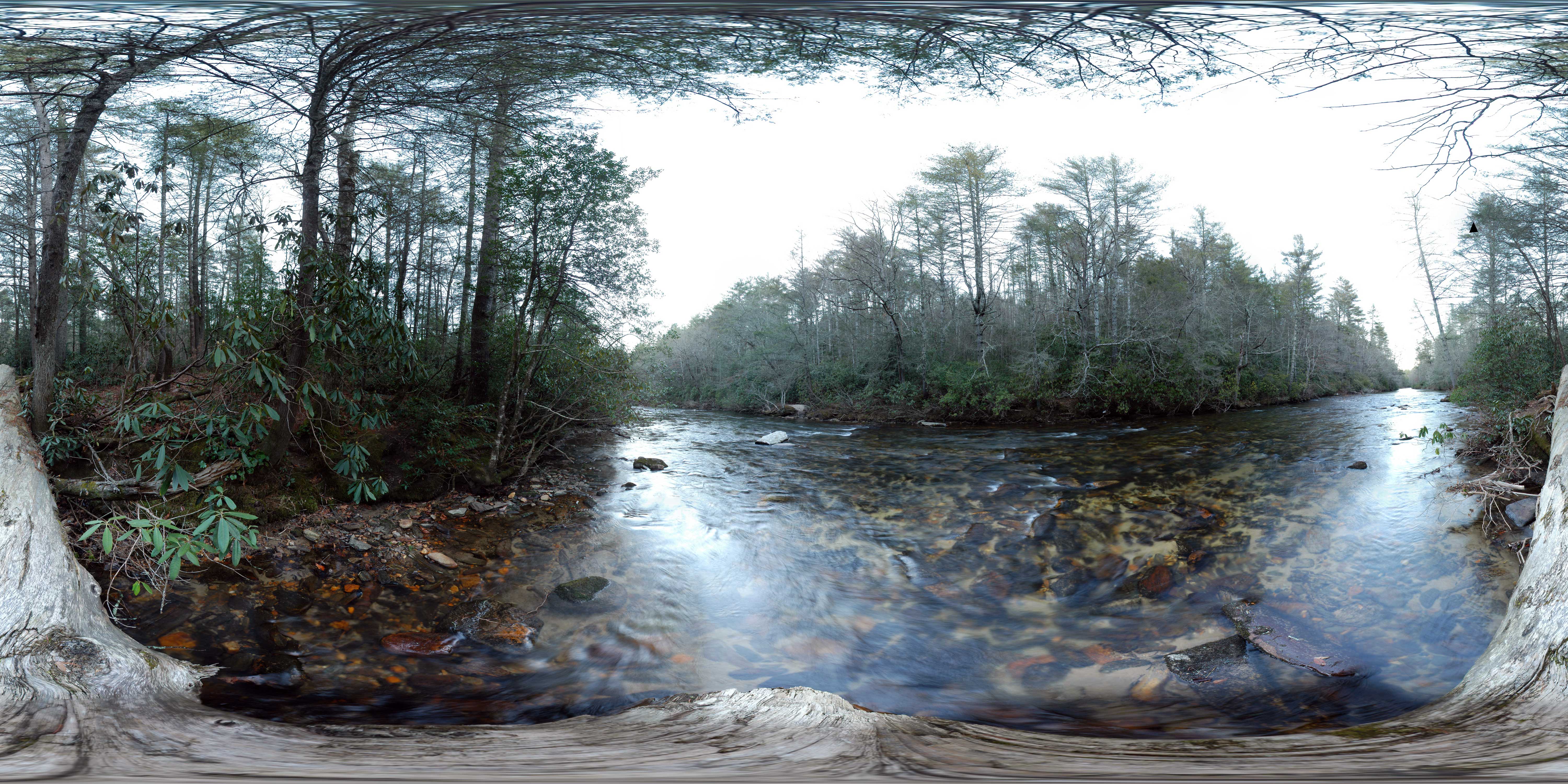
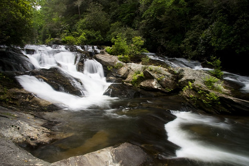
Chattooga River at Burrells Ford
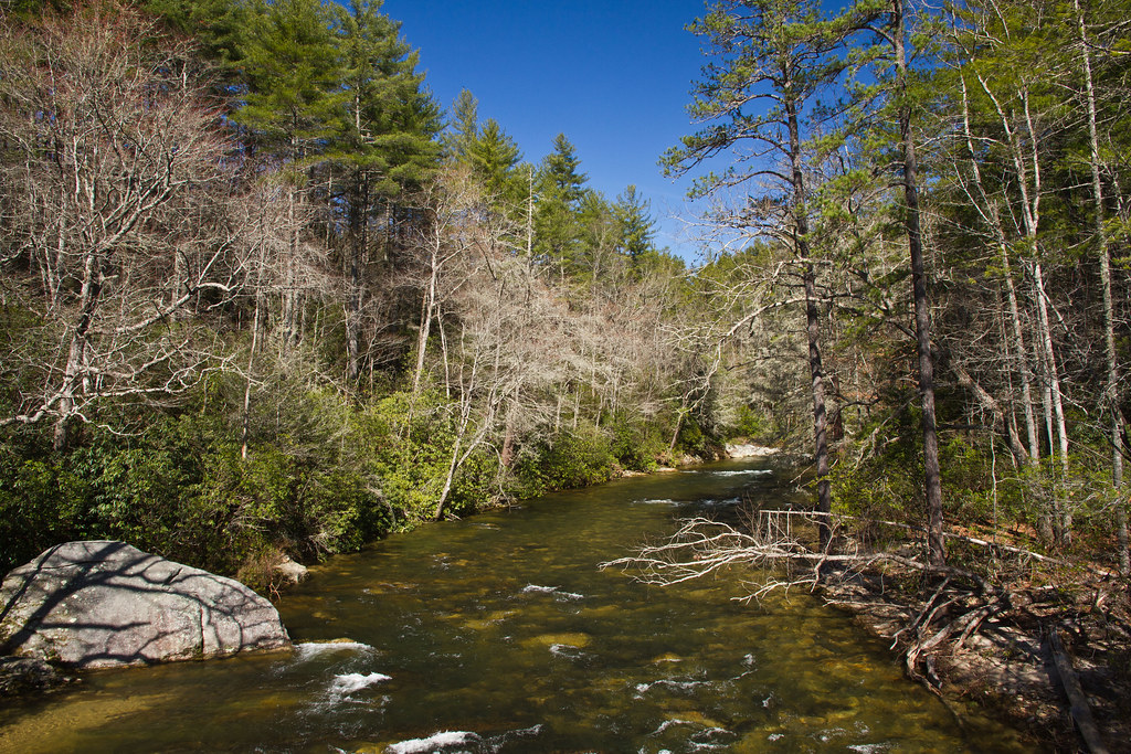
Chattooga river, north view from burrells ford
Chattooga river, south view from burrells ford
A fine prospect.

Stumphouse Mountain Tunnel - Oconee Co, S.C.

This is NOT the Milky Way.

Gentle Light

Day 66 - reasons I need a tripod
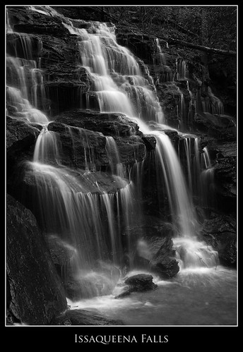
Issaqueena Falls
Winter Blues

Swainson's Warbler
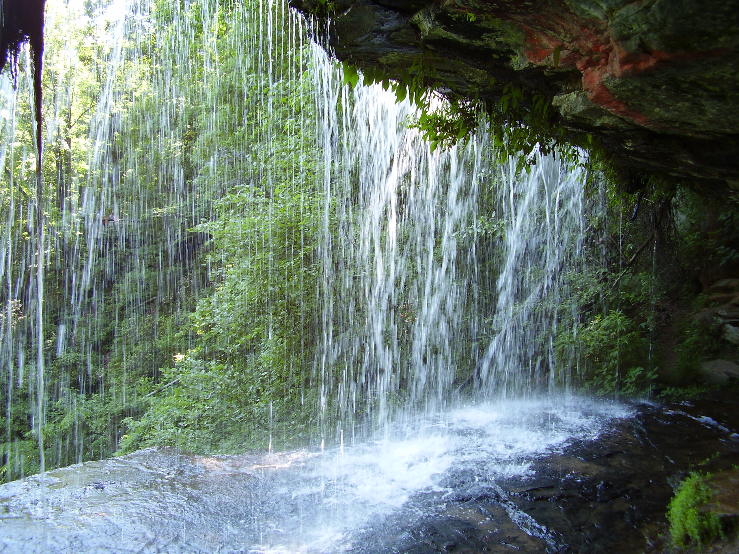
Behind the falls

Clemson Area Amateur Astronomer Outing

Clemson Area Amateur Astronomer Outing

Clemson Area Amateur Astronomer Outing
Station Cove Falls [EXPLORED]
Yellow Branch Falls, Isolation
Station Cove Falls 4
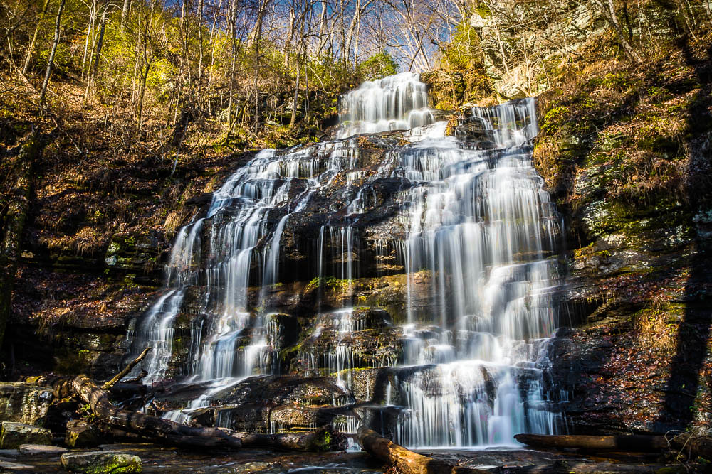
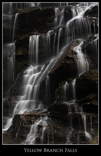
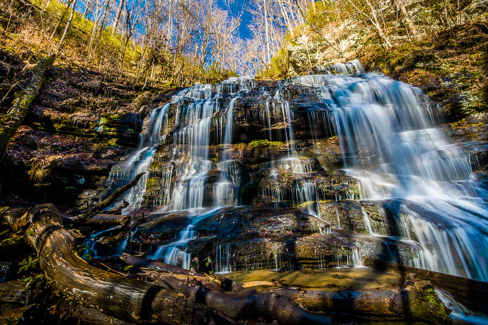
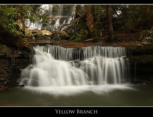
Yellow Branch Falls
Cabin Lake
Falling Water and Moss
Yellow Branch falls
Cool Retreat
Below Yellow Branch Falls

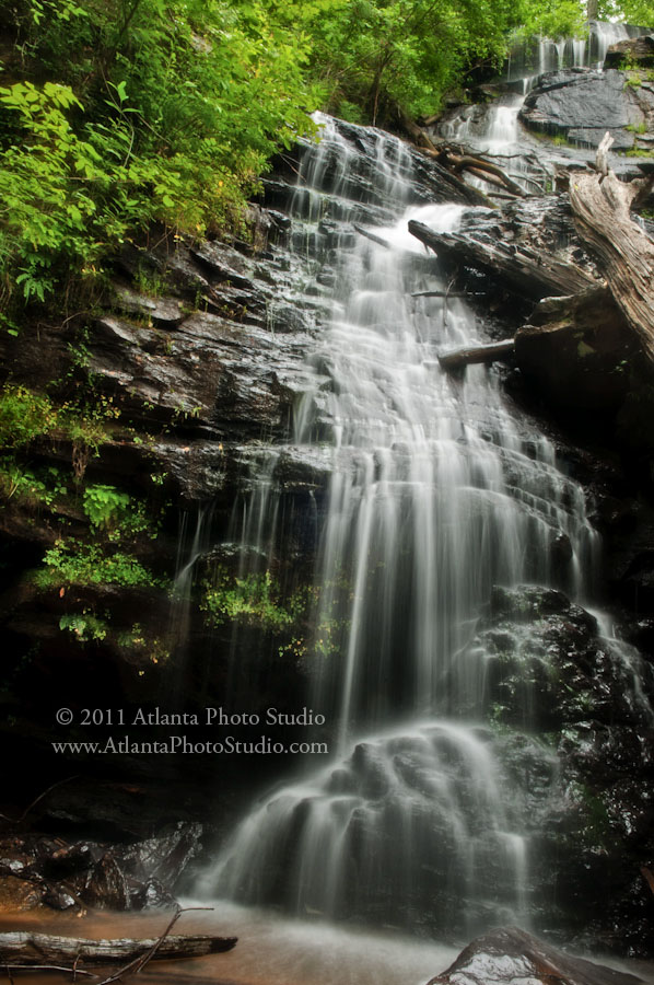
Issaqueena Falls

20131230_Clayton_5293.jpg
Station Cove falls
Issaqueena Falls, Black and White

King Creek Falls closeup

Epic Skies
station cove falls
APS Waterfalls-124

Station Cove Falls, Station Creek, Sumter National Forest, Oconee County, South Carolina 1
Falls on Big Creek
Topographic Map of Winding River Rd, Mountain Rest, SC, USA
Find elevation by address:

Places near Winding River Rd, Mountain Rest, SC, USA:
629 Land Bridge Rd
Mountain Rest
175 W Village Creek Rd
1264 Crystal Lake Rd
1038 Crystal Lake Rd
170 Bauknight Rd
186 Brians Lake Rd
110 Wren Rd
171 Lake Dr
334 Lake Becky Rd
125 Wren Rd
198 Old Turnpike Rd
120 Bonner Rd
262 Thistle Dew Ln
125 Apple Orchard Rd
450 Whites Way
Whetstone
165 Cassidy Bridge Rd
190 Lakeside Dr
Mountain Rest, SC, USA
Recent Searches:
- Elevation of Corso Fratelli Cairoli, 35, Macerata MC, Italy
- Elevation of Tallevast Rd, Sarasota, FL, USA
- Elevation of 4th St E, Sonoma, CA, USA
- Elevation of Black Hollow Rd, Pennsdale, PA, USA
- Elevation of Oakland Ave, Williamsport, PA, USA
- Elevation of Pedrógão Grande, Portugal
- Elevation of Klee Dr, Martinsburg, WV, USA
- Elevation of Via Roma, Pieranica CR, Italy
- Elevation of Tavkvetili Mountain, Georgia
- Elevation of Hartfords Bluff Cir, Mt Pleasant, SC, USA