Elevation of Village Creek Road, Village Creek Rd, South Carolina, USA
Location: United States > South Carolina > Oconee County > Mountain Rest >
Longitude: -83.119847
Latitude: 34.886552
Elevation: 541m / 1775feet
Barometric Pressure: 95KPa
Elevation Map:
Satellite Map:
Related Photos:

West Fork of the Chattooga River

Stumphouse Mountain Tunnel - Oconee Co, S.C.

Chattooga River Potholes Highlands NC - The Artist's Hand

Ice flow

Secret Falls

Mountain View

NIK_1175.2 Walhalla Performing Arts Center

Issaqueena Falls

Gentle Light

Isaqueena Falls

docked for the night

Miss Sunshine

Pointing Toward Heaven
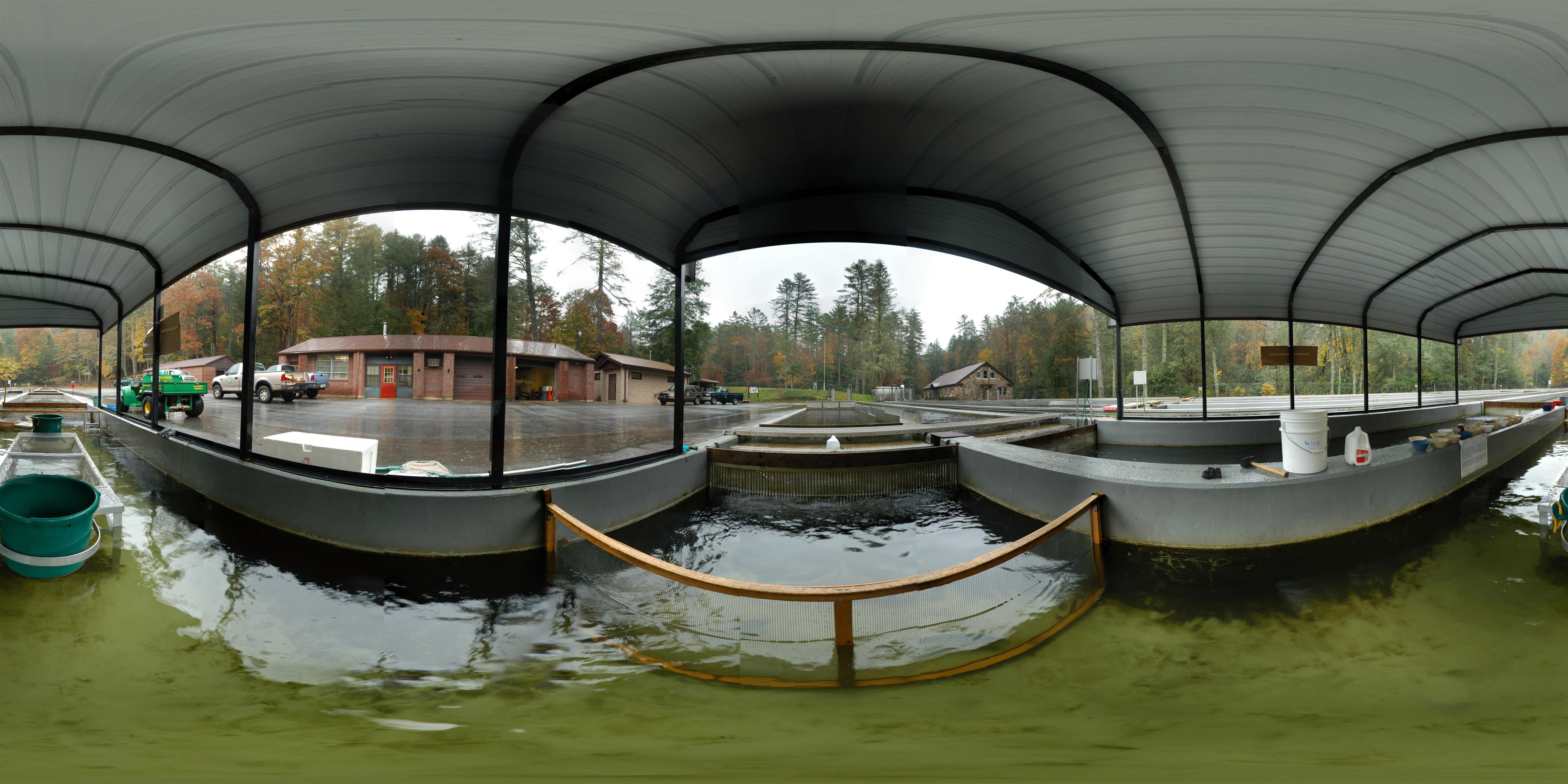
Walhalla State Fish Hatchery - Raceway

Travel into the night
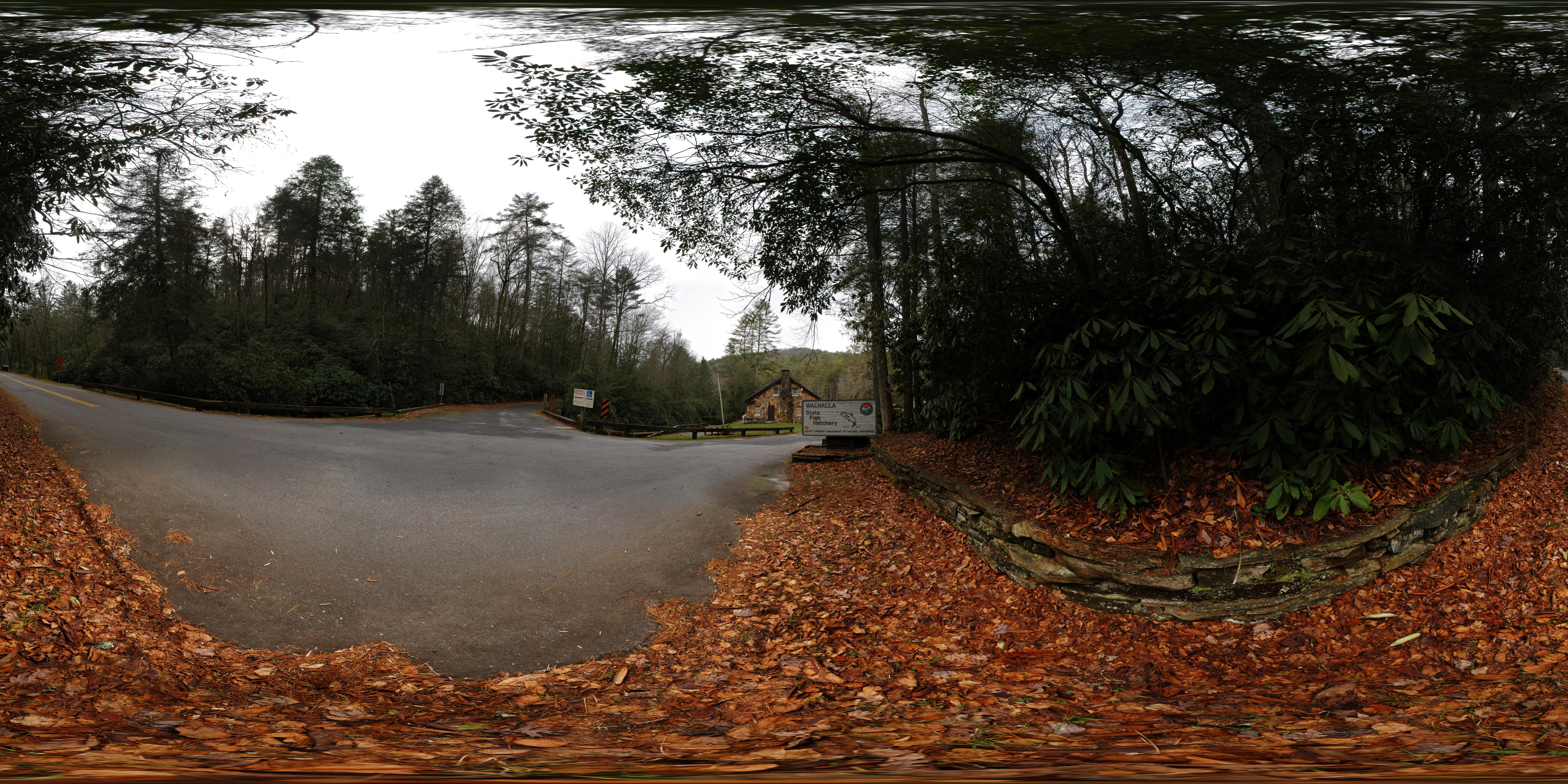
Wallhalla State Fish Hatchery

Wallhalla State Fish Hatchery

Walhalla State Fish Hatchery - Fish House

Chattooga River at Burrells Ford

Sweet Dreams

Satulah Falls-9998

Station Cove Falls - Another Angle
Chatooga River

Oconee Trading Post Circa 1792

Oconee Station Falls III

Stone Blockhouse Oconee Station

Oconee Station Falls II

Oconee Station Falls

Station Cove Falls

Station Cove Falls II

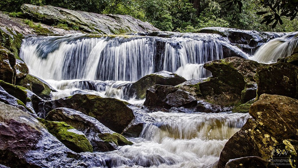
Spoonauger Falls

Secret Falls, North Carolina

Secret Falls, North Carolina

Along side the trail

King Creek Falls

Station Cove Trail II

Yellow Branch falls

West Fork of the Chattooga River
Topographic Map of Village Creek Road, Village Creek Rd, South Carolina, USA
Find elevation by address:

Places near Village Creek Road, Village Creek Rd, South Carolina, USA:
831 Lenore B Ln
Oconee State Park
198 Old Turnpike Rd
Oconee State Park Lake Number One
170 Bauknight Rd
137 Lakeside Dr
190 Lakeside Dr
355 Big Oak Trail
251 Nature Ln
120 Bonner Rd
681 Chattooga Lake Rd
Mountain Rest
551 Chattooga Lake Rd
334 Lake Becky Rd
110 Wren Rd
262 Thistle Dew Ln
125 Wren Rd
South Carolina 107
155 Whippoorwill Hollow Rd
Auriti Ln, Mountain Rest, SC, USA
Recent Searches:
- Elevation of Corso Fratelli Cairoli, 35, Macerata MC, Italy
- Elevation of Tallevast Rd, Sarasota, FL, USA
- Elevation of 4th St E, Sonoma, CA, USA
- Elevation of Black Hollow Rd, Pennsdale, PA, USA
- Elevation of Oakland Ave, Williamsport, PA, USA
- Elevation of Pedrógão Grande, Portugal
- Elevation of Klee Dr, Martinsburg, WV, USA
- Elevation of Via Roma, Pieranica CR, Italy
- Elevation of Tavkvetili Mountain, Georgia
- Elevation of Hartfords Bluff Cir, Mt Pleasant, SC, USA