Elevation of Thermal, CA, USA
Location: United States > California > Riverside County >
Longitude: -116.14223
Latitude: 33.6402638
Elevation: -37m / -121feet
Barometric Pressure: 102KPa
Elevation Map:
Satellite Map:
Related Photos:
Ladder - Painted Canyon
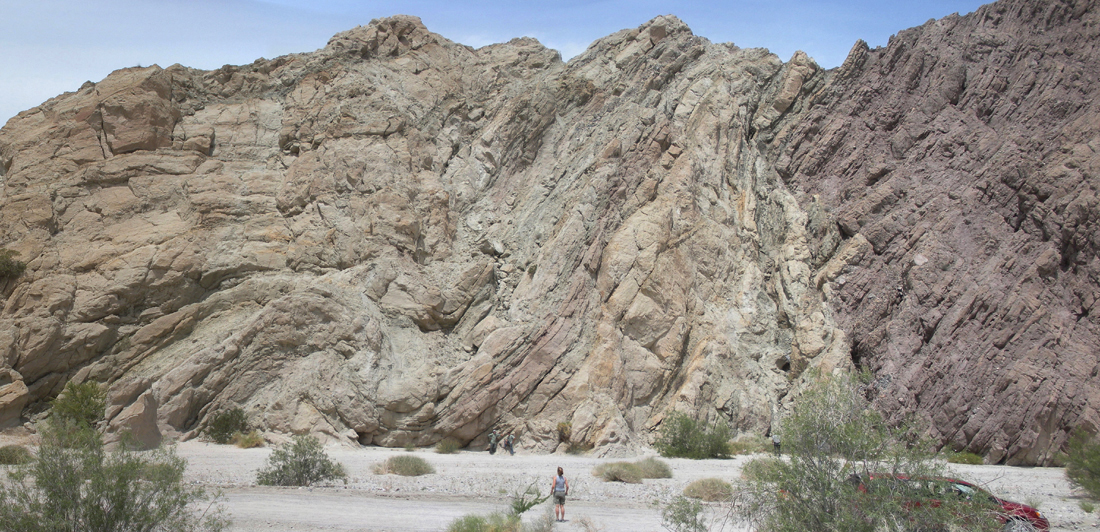
Above the San Andreas and Skeleton Canyon Faults, Mecca Hills, Riverside County, California

Above intersection of I-10 and Highway 86, Indio and Coachella, California
Anticline, syncline, and fault
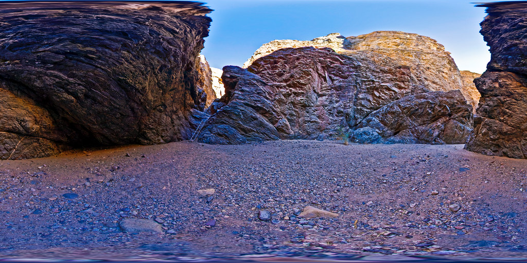
Painted Canyon fault, Painted Canyon, Mecca Hills, Riverside County, California
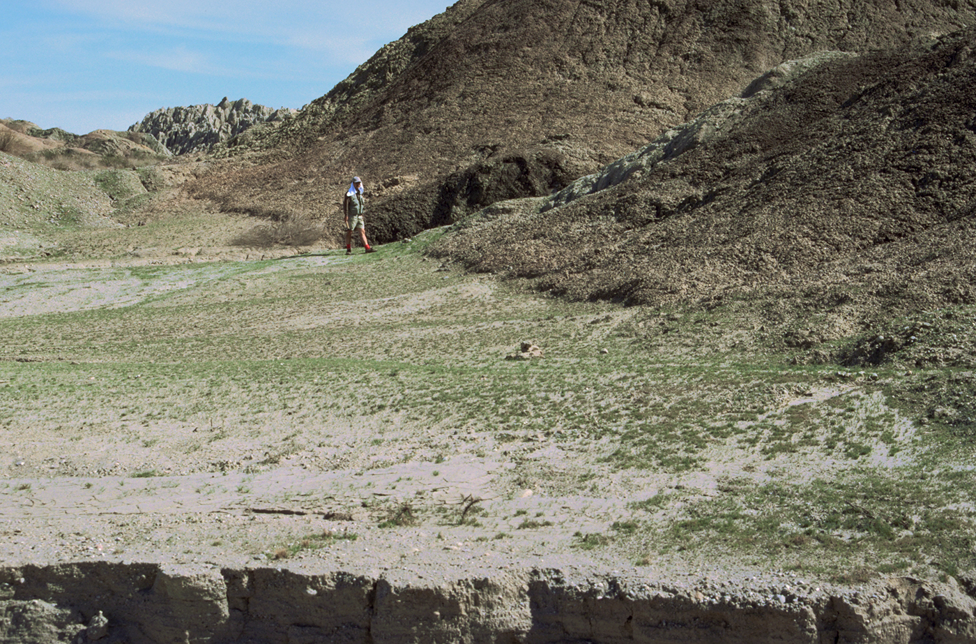
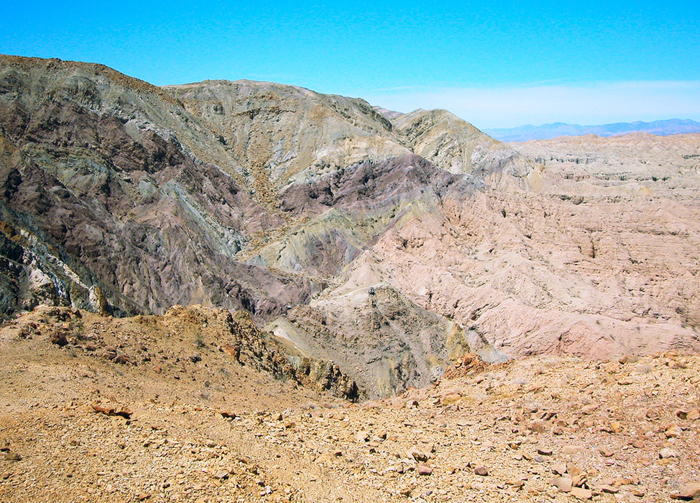
Scarp along the San Andreas Fault, Mecca Hills, Riverside County, California
Neon in BW
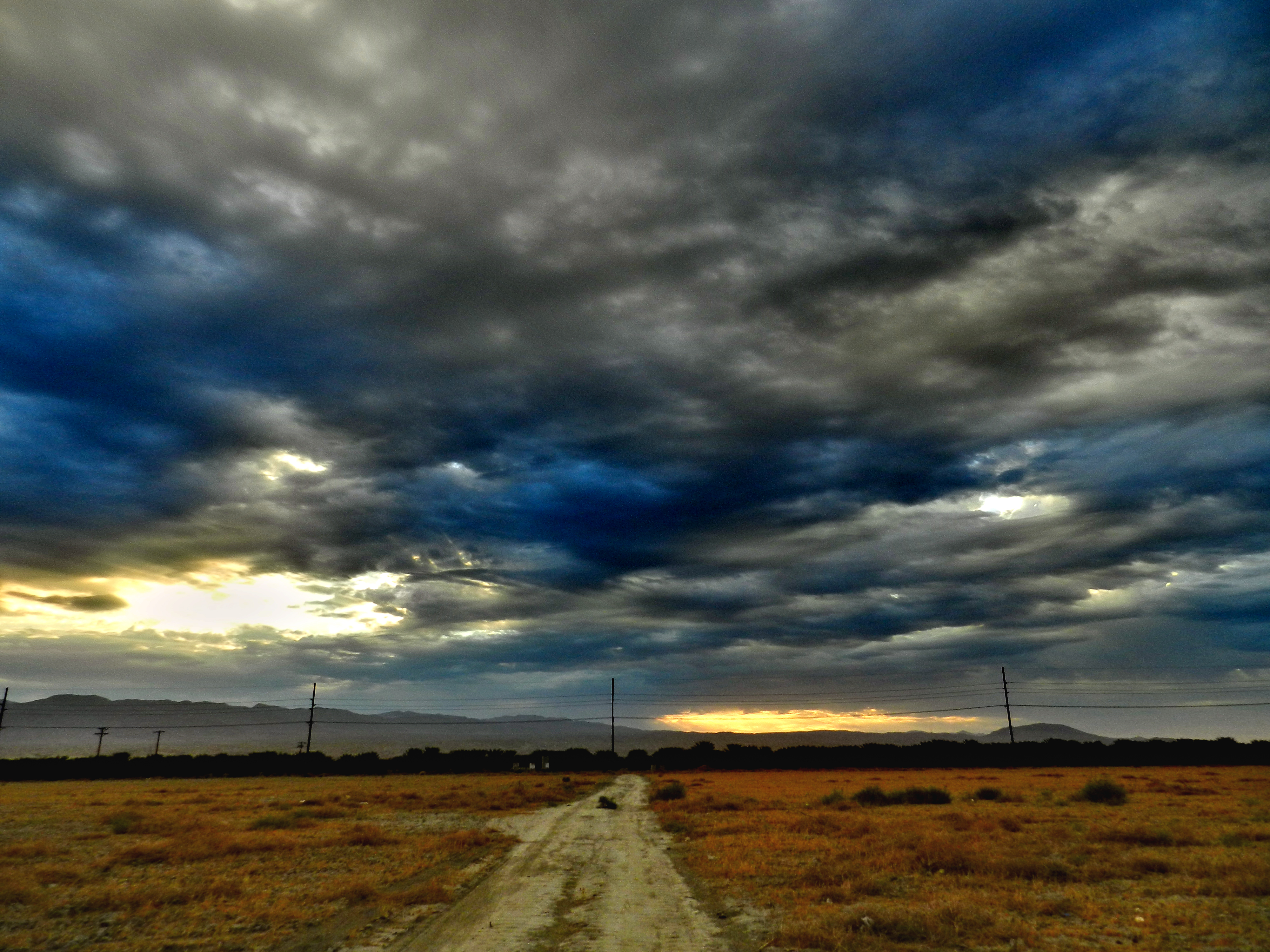
Morning Sunrise Clouds_1

Morning Sunrise Clouds_2

Mother Nature vs. Pole Power
Sunrise 11_8_2010

"First on Street Light"
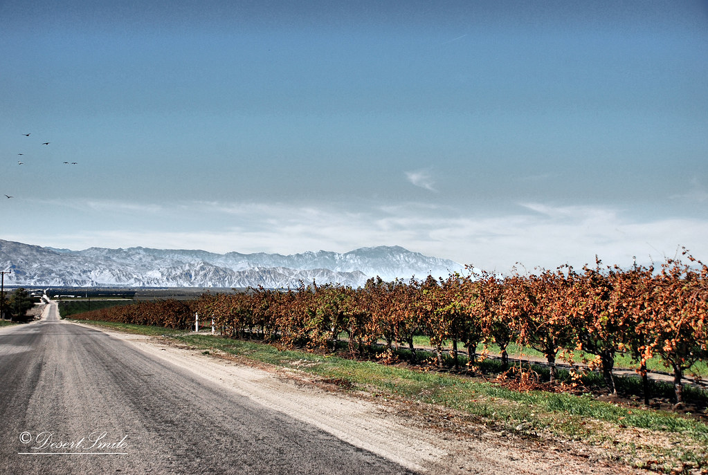
End of Harvest

Thermal Airshow

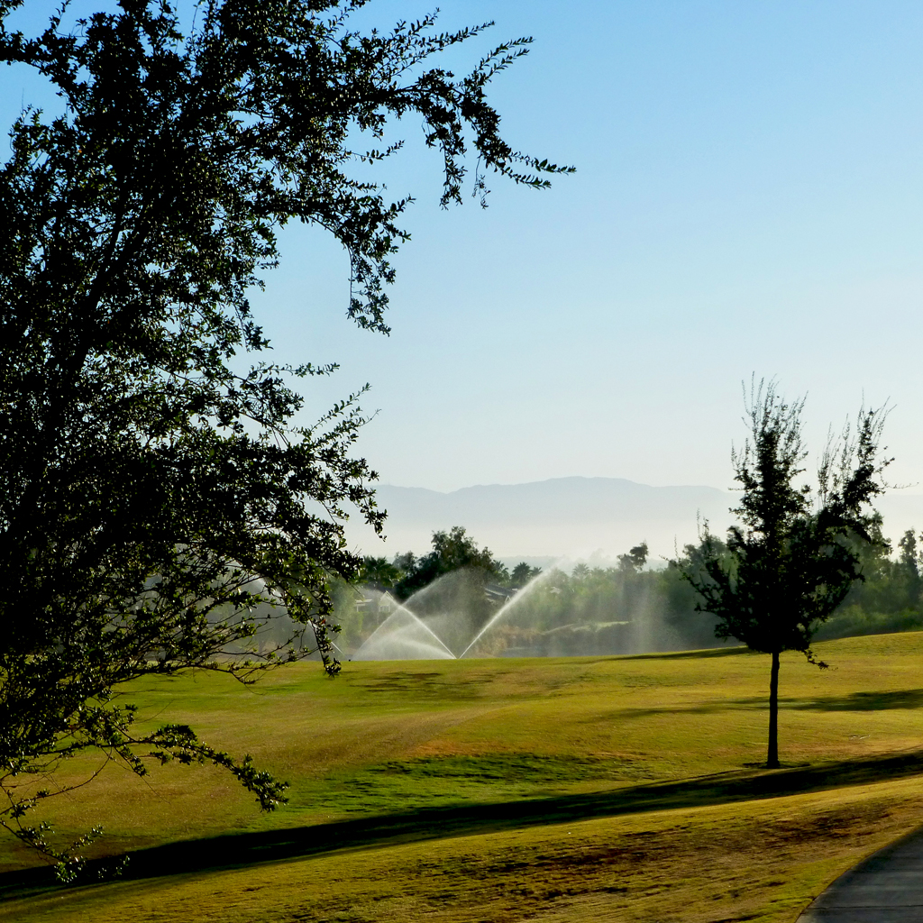
#Pretty #Sunset over the #golfcourse in #psp #laquinta #palmtrees #view #sun #sky #beautiful #palm

the view from the condo #teamtwerkchella
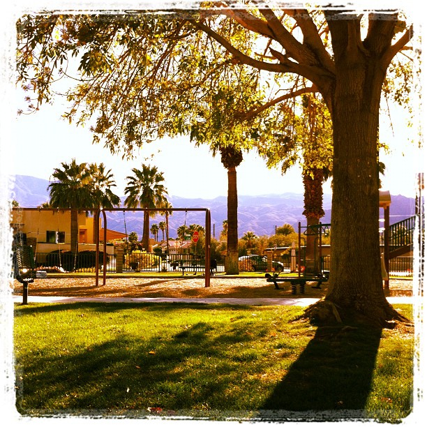
February, and this is my view at the park. In short sleeves. No complaint here.
Glamorous M83 view!
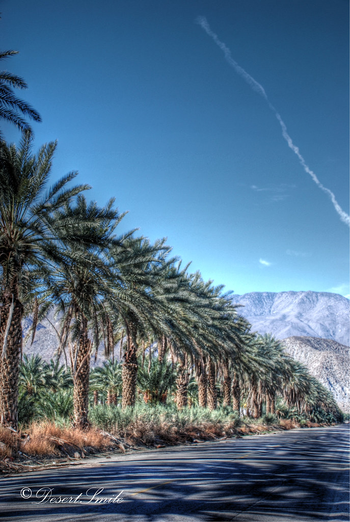
Palm Shadows
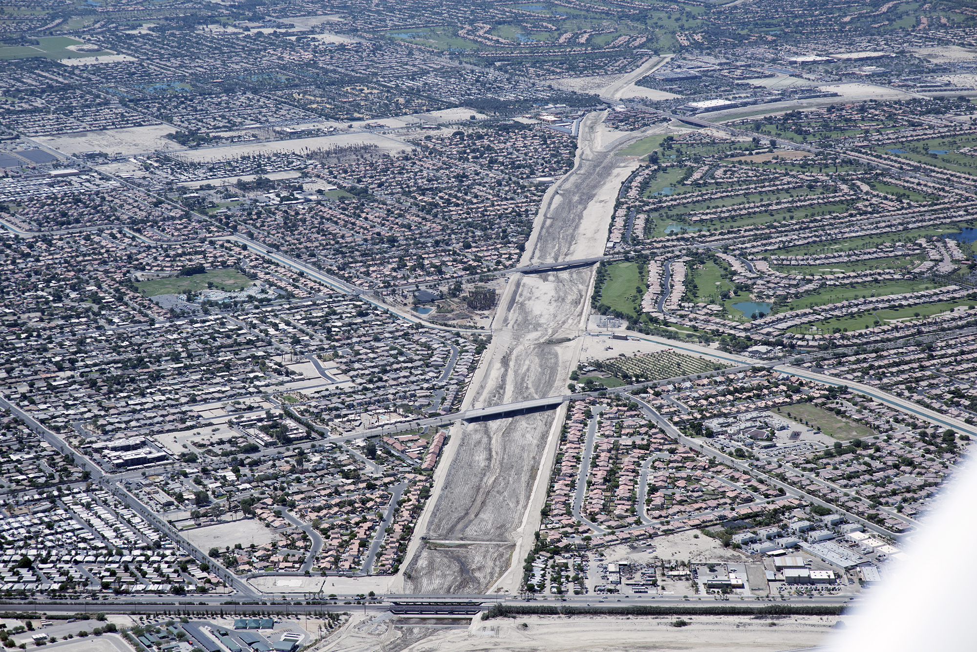
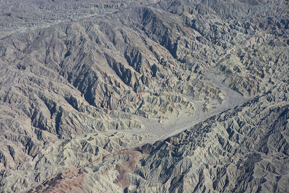
Aerial view up the Whitewater River, Indio and La Quinta, Riverside County, California
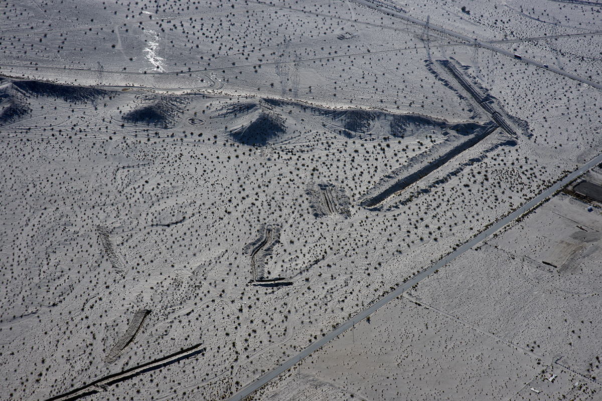
An arrow in the sand, Riverside County, California
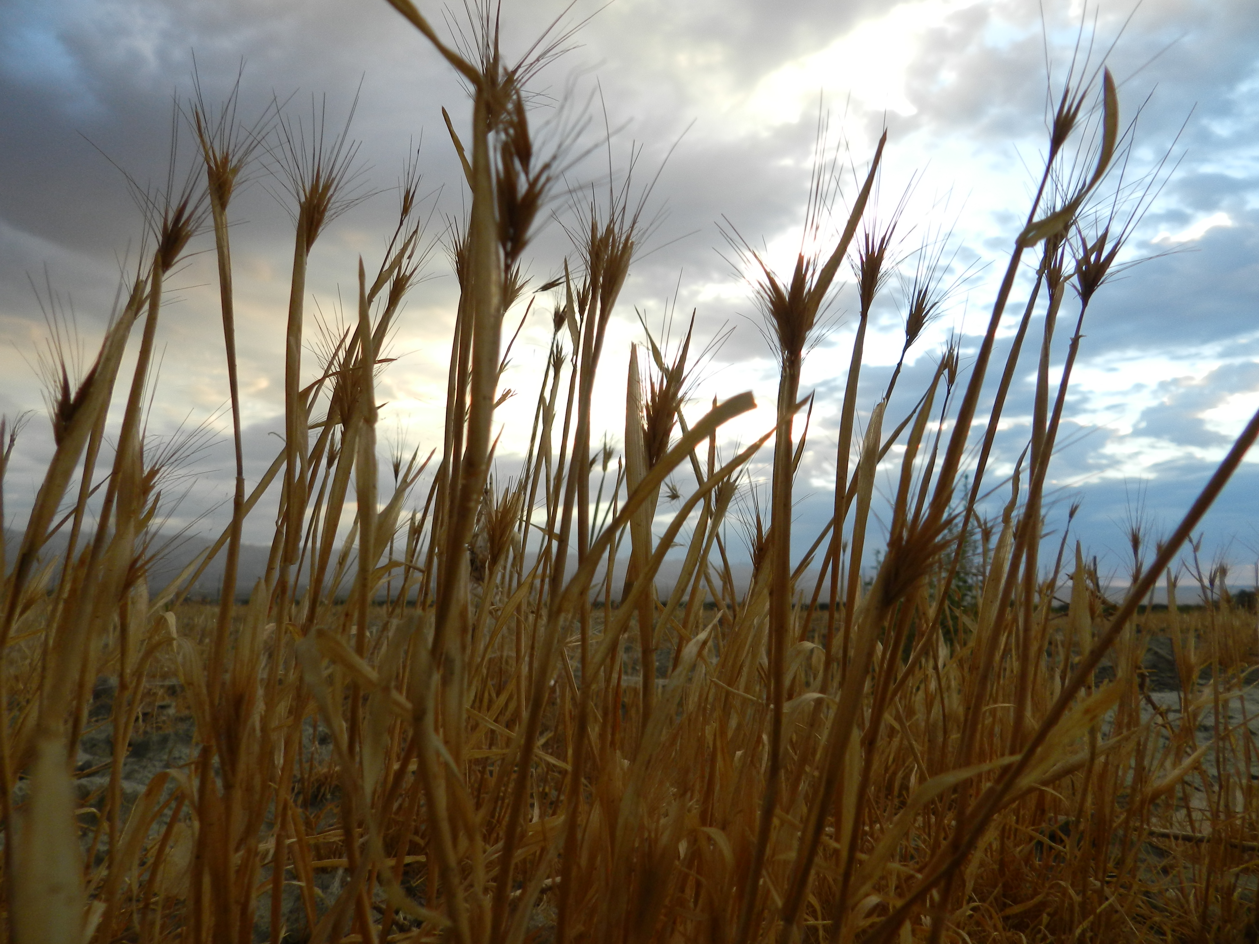
Fox Tails
20101207.RT.XP.R15.01
Life & Death
Tennant Mary 10

Also desert farm
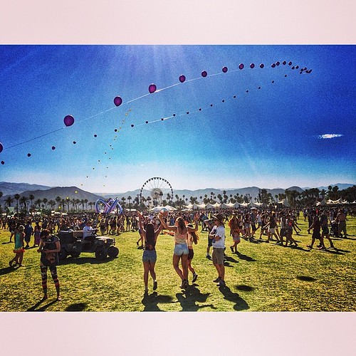
Coachella!

Danbo Ready to Tee Off
Imagined Landscape VIII
Digital Impressions Of A Western Landscape II

Desert / Rock / Landscape 05.30.12

Separate from you

II Landscape 02.18.12

Days End at The American Canal
Moon rock 2

playing peekaboo in the dark
Good morning!

starting a little late

shady parking
"Oasis" at the end of the trail...
Topographic Map of Thermal, CA, USA
Find elevation by address:

Places in Thermal, CA, USA:
Places near Thermal, CA, USA:
86911 58th Ave
Airport Blvd, Thermal, CA, USA
61605 Goodwood Drive
Grapefruit Blvd, Coachella, CA, USA
Coachella
1377 6th St
College Of The Desert, East Valley Campus, Mecca/thermal
48550 El Arco St
81835 Prism Dr
82389 Samantha Ct
43509 Adria Dr
61730 Mesa Ct
49817 Mclaine Dr
81235 Muirfield Village
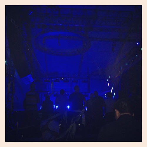
Coachella Valley Music And Arts Festival
61063 Fire Barrel Dr
85132 Stazzano Pl
Fargo Canyon Road
81318 Peary Pl
Indio, CA, USA
Recent Searches:
- Elevation of Corso Fratelli Cairoli, 35, Macerata MC, Italy
- Elevation of Tallevast Rd, Sarasota, FL, USA
- Elevation of 4th St E, Sonoma, CA, USA
- Elevation of Black Hollow Rd, Pennsdale, PA, USA
- Elevation of Oakland Ave, Williamsport, PA, USA
- Elevation of Pedrógão Grande, Portugal
- Elevation of Klee Dr, Martinsburg, WV, USA
- Elevation of Via Roma, Pieranica CR, Italy
- Elevation of Tavkvetili Mountain, Georgia
- Elevation of Hartfords Bluff Cir, Mt Pleasant, SC, USA