Elevation of th St, Lexington, OK, USA
Location: United States > Oklahoma > Cleveland County >
Longitude: -97.212007
Latitude: 35.088042
Elevation: 364m / 1194feet
Barometric Pressure: 97KPa
Elevation Map:
Satellite Map:
Related Photos:

On the river #sunset #sundogtrails #mextures #kawasaki #teryx #river
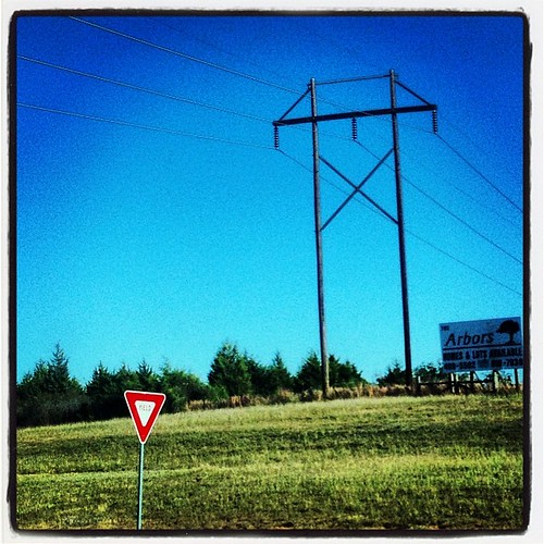
Yield Giant

Lake Thunderbird Sunset 1-24-15

What the Dam made of!

Noble_July 19, 2014_07_19042-Pano.jpg

2011-05-13_5906

BETTER THAN THE LOG RIDE AT DISNEY WORLD

Happy pup

2011-05-13_5908

Lukes Pond day 2-6919.jpg

Storm Skies Over Lake Thunderbird

2013-07-28 12.31.46

Duck Hunt
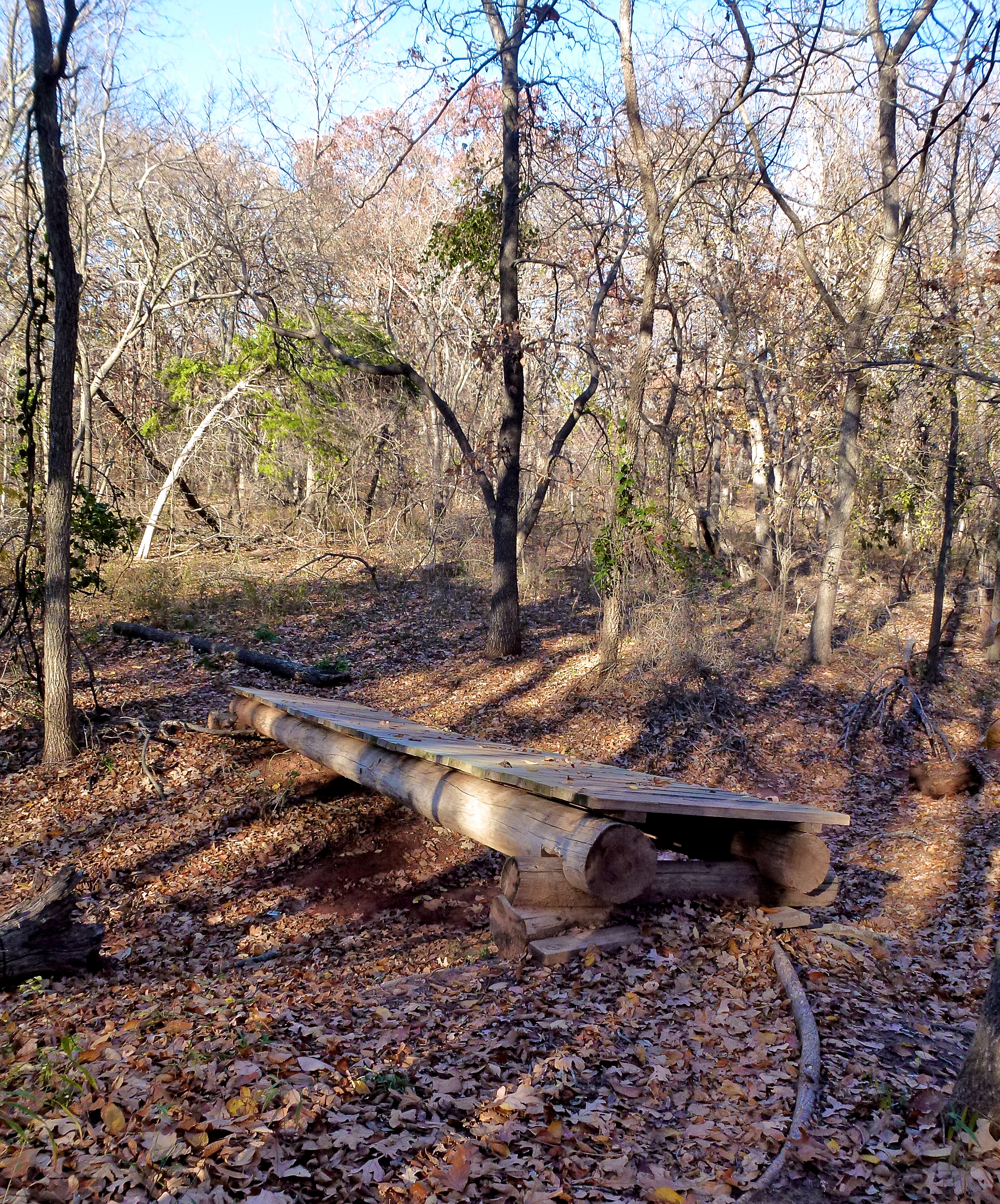
Lincoln Log Bridge at Clear Bay

2013-07-28 12.31.39

Driving through south central Oklahoma

2013-07-28 12.31.08

Purcell Sunrise

Justicia americana

Fishin' time #lakethunderbird #oklahoma #outdoors #watertherapy

Just before the sun fell. #iphone #iphone6 #iphonesia #iphoneonly #iphoneography #iphonephotography #photography #photooftheday #lake #nature #sunset #goldenhour #magichour
Topographic Map of th St, Lexington, OK, USA
Find elevation by address:

Places near th St, Lexington, OK, USA:
OK-39, Wanette, OK, USA
6250 Slaughterville Rd
Lexington
Oklahoma
10500 48th St
W Adams St, Purcell, OK, USA
Purcell
Wayne
Wanette
th St, Wayne, OK, USA
Goldsby
Mcclain County
Garvin County
Dibble
Wynnewood
Blanchard
Old Town 1st St, Blanchard, OK, USA
Bradley
Main St, Bradley, OK, USA
County Road 1500
Recent Searches:
- Elevation of Corso Fratelli Cairoli, 35, Macerata MC, Italy
- Elevation of Tallevast Rd, Sarasota, FL, USA
- Elevation of 4th St E, Sonoma, CA, USA
- Elevation of Black Hollow Rd, Pennsdale, PA, USA
- Elevation of Oakland Ave, Williamsport, PA, USA
- Elevation of Pedrógão Grande, Portugal
- Elevation of Klee Dr, Martinsburg, WV, USA
- Elevation of Via Roma, Pieranica CR, Italy
- Elevation of Tavkvetili Mountain, Georgia
- Elevation of Hartfords Bluff Cir, Mt Pleasant, SC, USA