Elevation of Blanchard, OK, USA
Location: United States > Oklahoma > Grady County >
Longitude: -97.658093
Latitude: 35.1378441
Elevation: 390m / 1280feet
Barometric Pressure: 97KPa
Elevation Map:
Satellite Map:
Related Photos:

20071018-Matt_n_Danielle5-Edit_x

side view,5x7-black

side view,5x7-color

side view 8x10 sepia

Vintage Danielle

Explore Photos

mammatas lightning IMG_1635a

And now, the nostalgic view

Golden Arches in the Sky
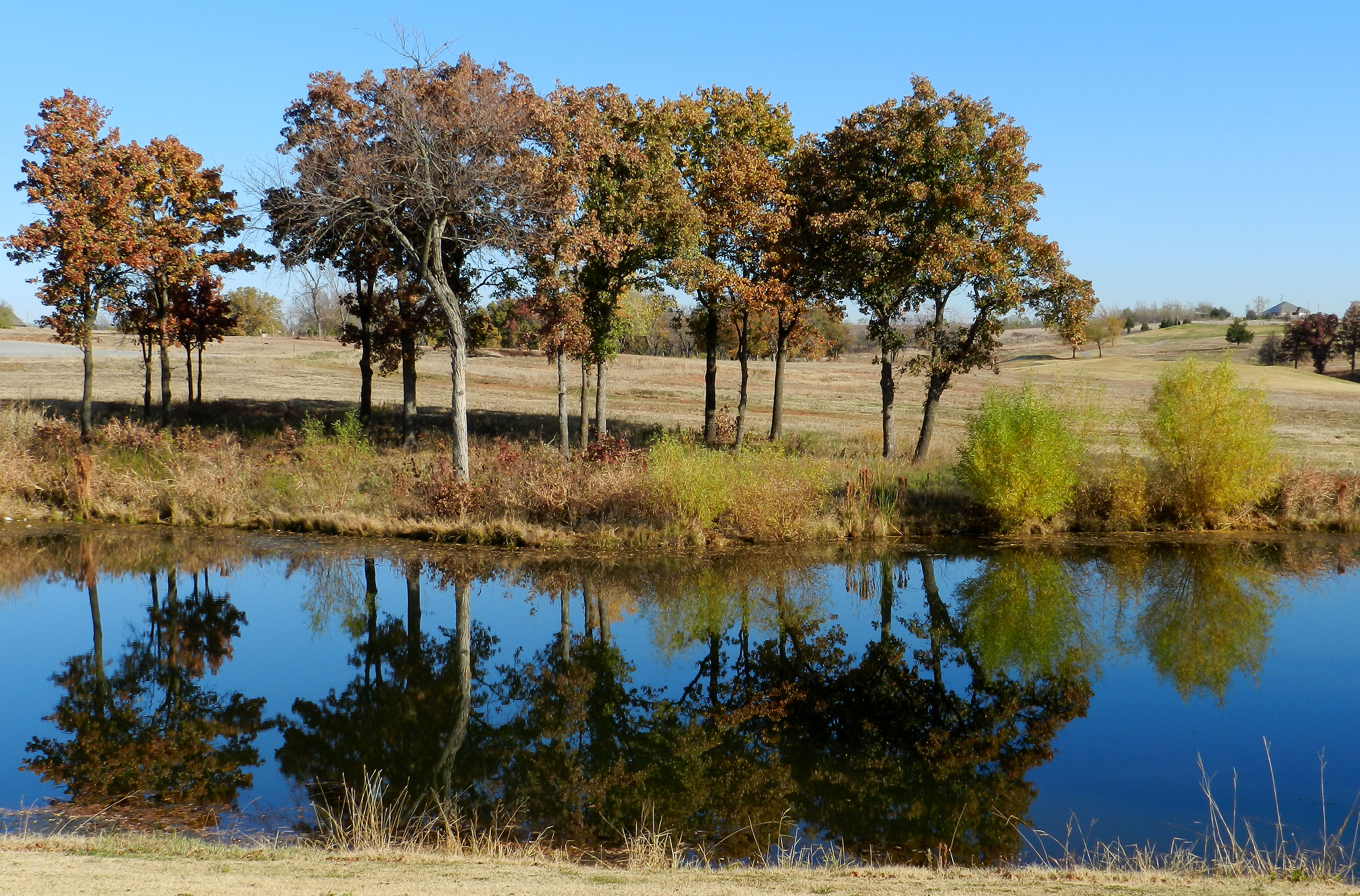
Reflection at the Golf Course
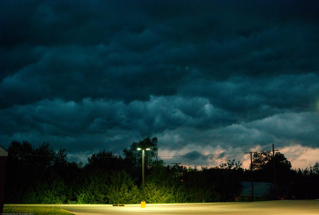
Storm Coming

Striped bark scorpion - Centruroides vittatus

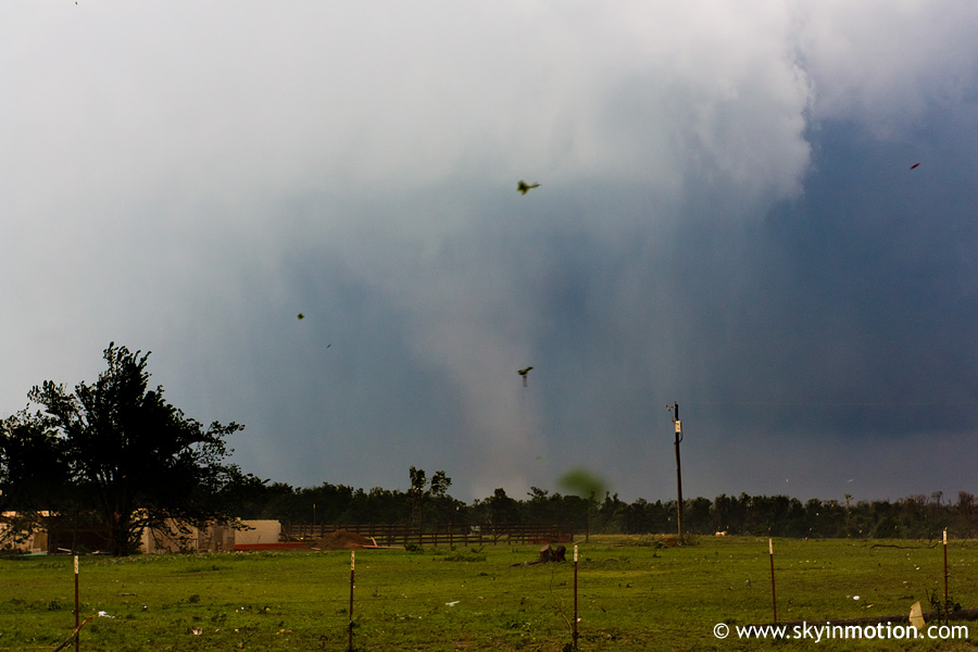
Dibble Supercell
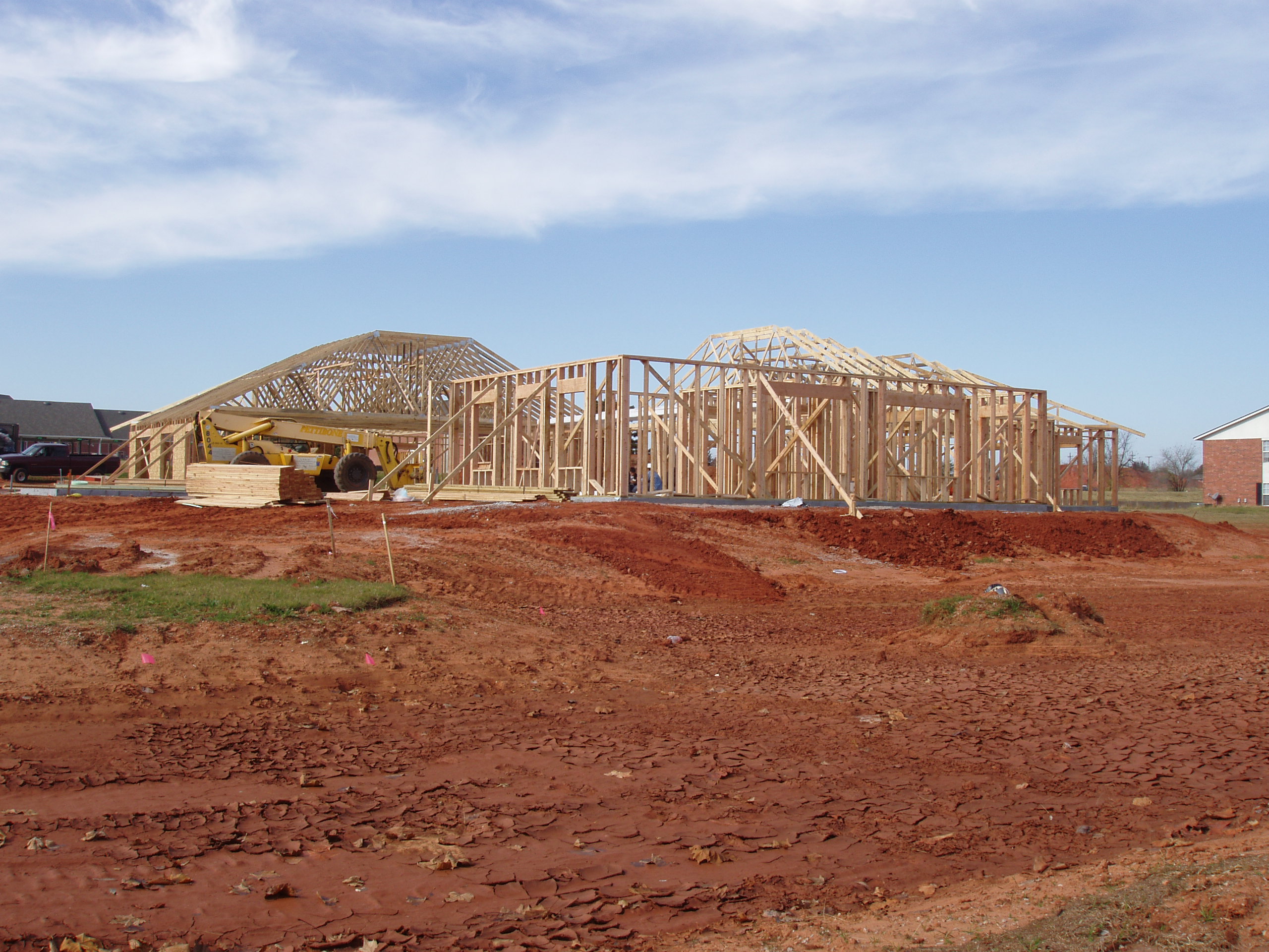
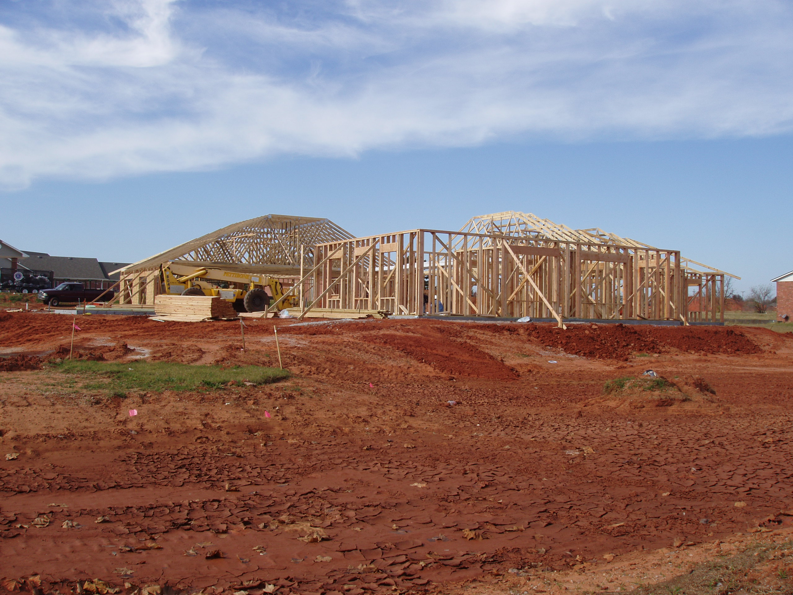
BLA New Library 016
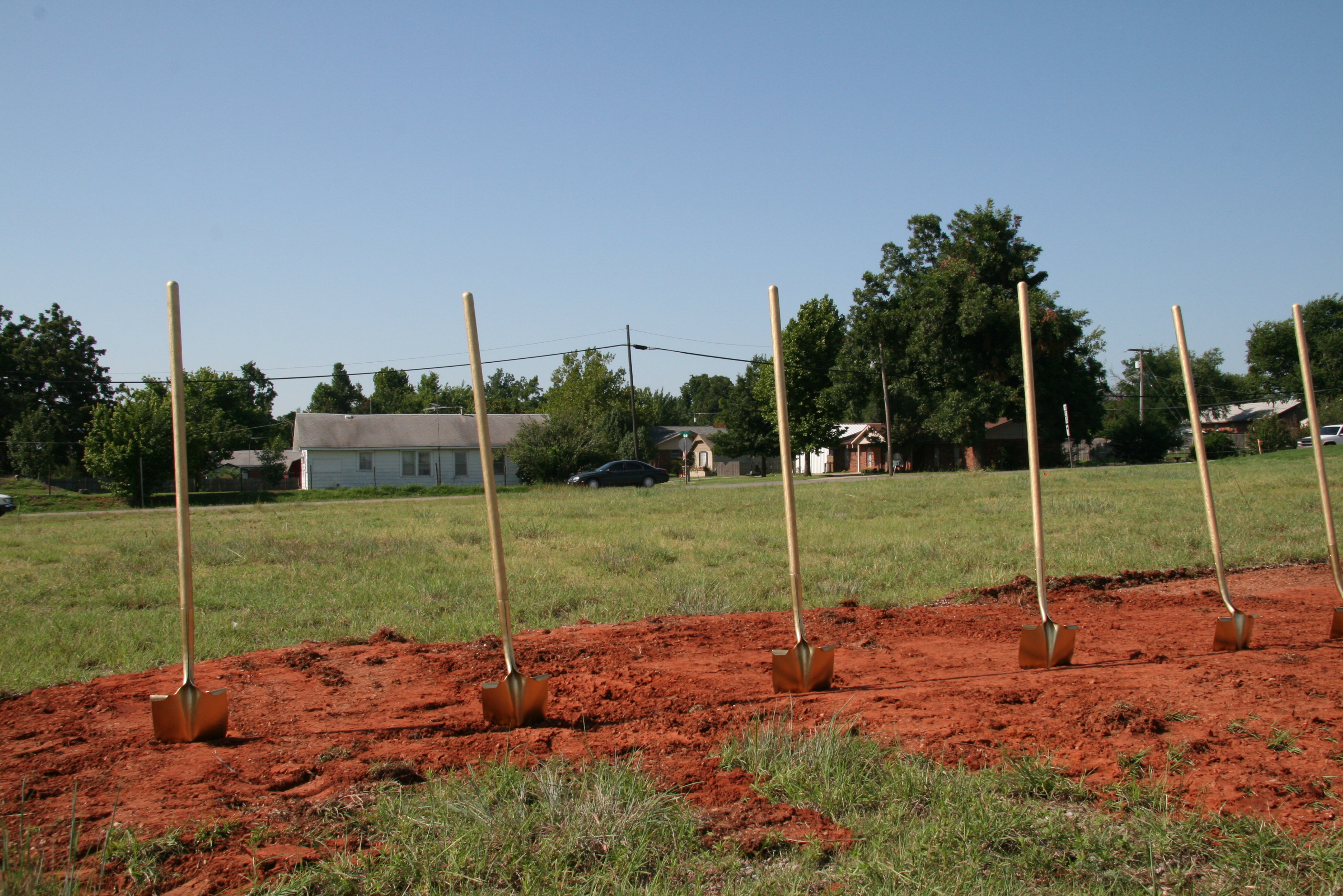
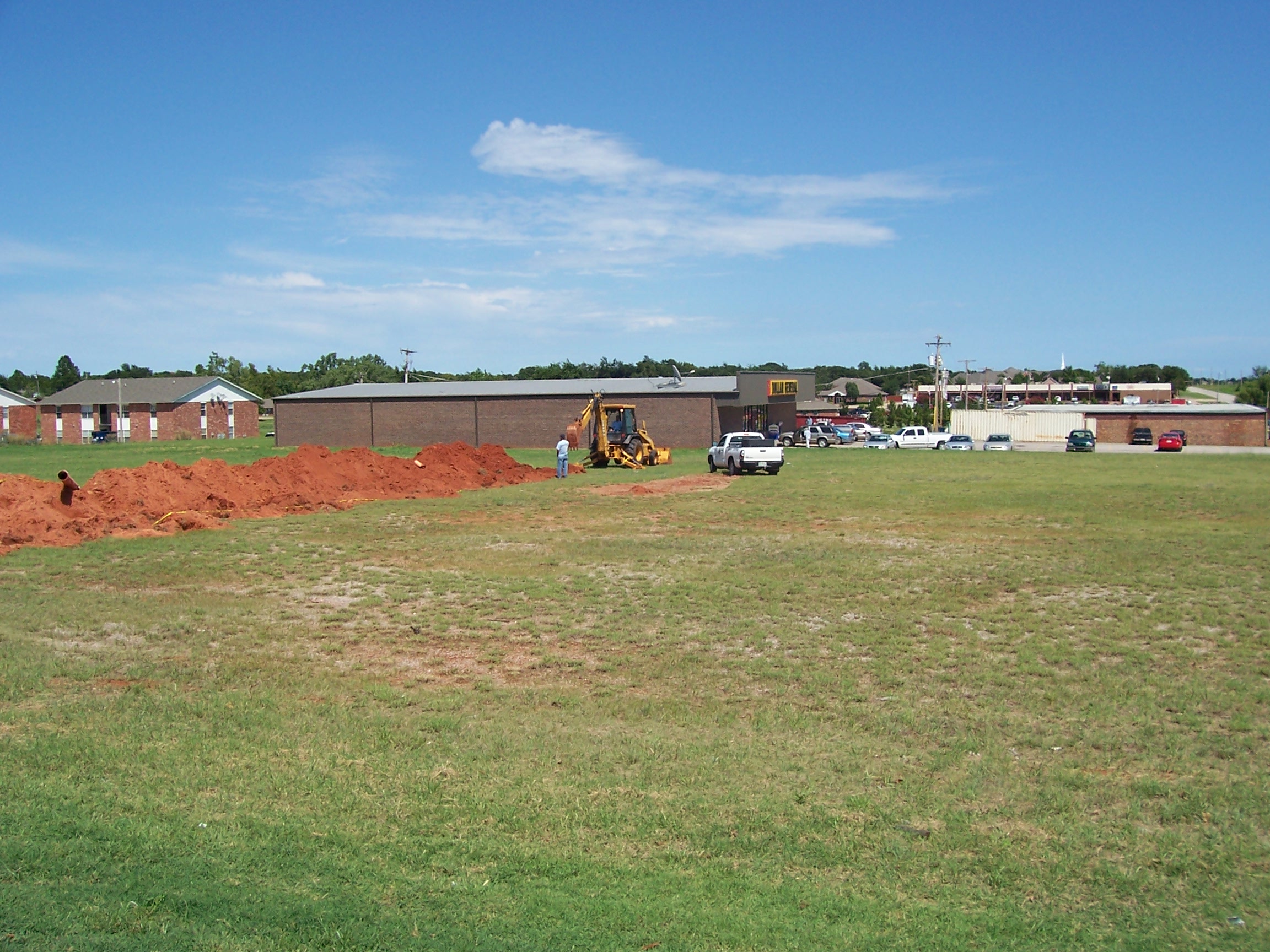
BLA Groundbreaking 004
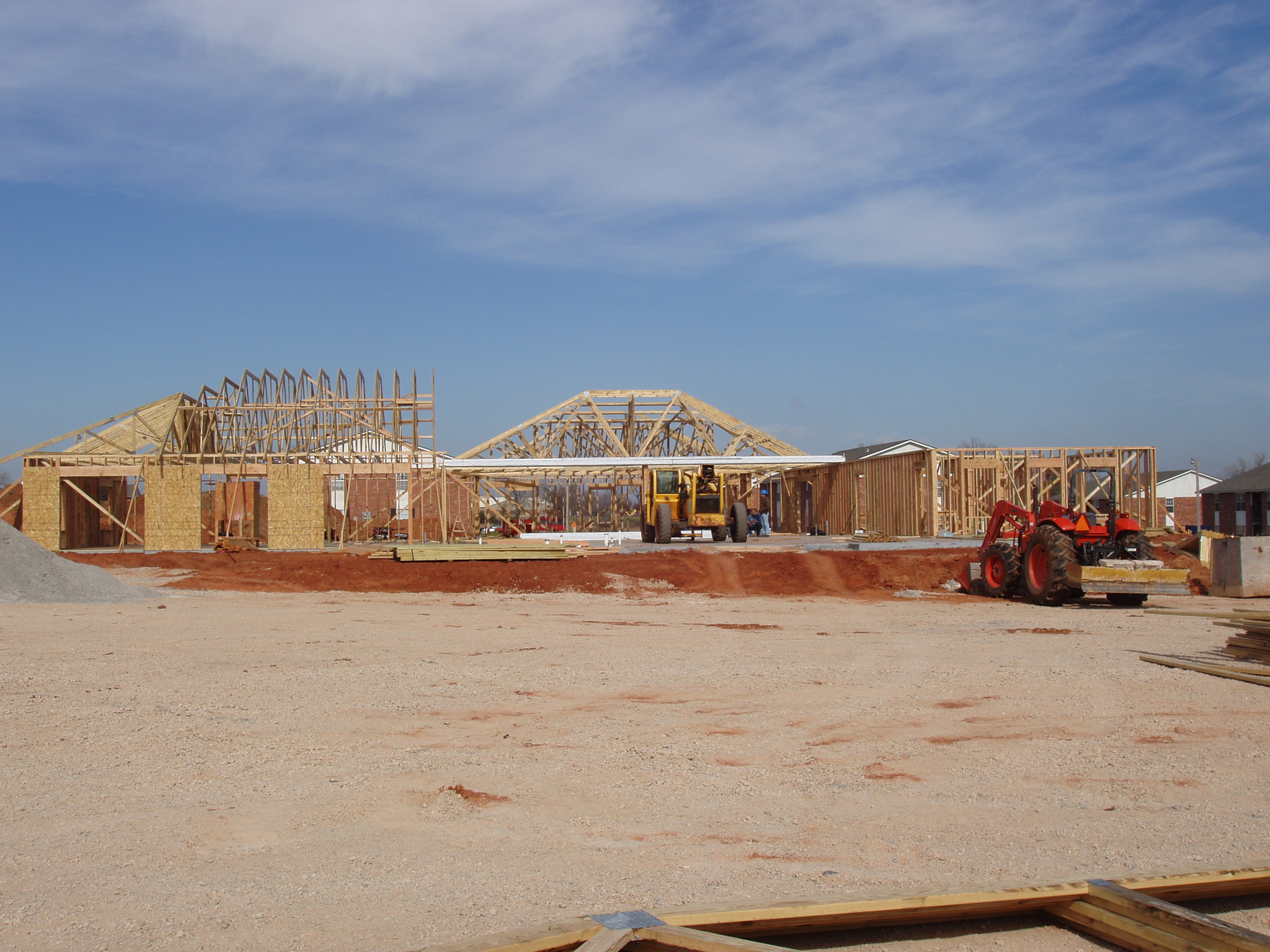
BLA New Library 015
BLA New Library 018
BLA New Library 005

20150506-IMG_1953

Lindsay in the Hay Bale Maze
2011-05-24_6403
Topographic Map of Blanchard, OK, USA
Find elevation by address:

Places in Blanchard, OK, USA:
Places near Blanchard, OK, USA:
Old Town 1st St, Blanchard, OK, USA
Dibble
Goldsby
Mcclain County
Grady County
Bradley
Main St, Bradley, OK, USA
Chickasha, OK, USA
10500 48th St
W Choctaw Ave, Chickasha, OK, USA
Chickasha
Murphy Usa
County Road 1500
Chickasha Garden Cottages
6250 Slaughterville Rd
1406 S 19th St
W Adams St, Purcell, OK, USA
Purcell
th St, Wayne, OK, USA
3216 S 25th St
Recent Searches:
- Elevation of Corso Fratelli Cairoli, 35, Macerata MC, Italy
- Elevation of Tallevast Rd, Sarasota, FL, USA
- Elevation of 4th St E, Sonoma, CA, USA
- Elevation of Black Hollow Rd, Pennsdale, PA, USA
- Elevation of Oakland Ave, Williamsport, PA, USA
- Elevation of Pedrógão Grande, Portugal
- Elevation of Klee Dr, Martinsburg, WV, USA
- Elevation of Via Roma, Pieranica CR, Italy
- Elevation of Tavkvetili Mountain, Georgia
- Elevation of Hartfords Bluff Cir, Mt Pleasant, SC, USA