Elevation of Wanette, OK, USA
Location: United States > Oklahoma > Pottawatomie County >
Longitude: -97.032522
Latitude: 34.9620224
Elevation: 312m / 1024feet
Barometric Pressure: 98KPa
Elevation Map:
Satellite Map:
Related Photos:
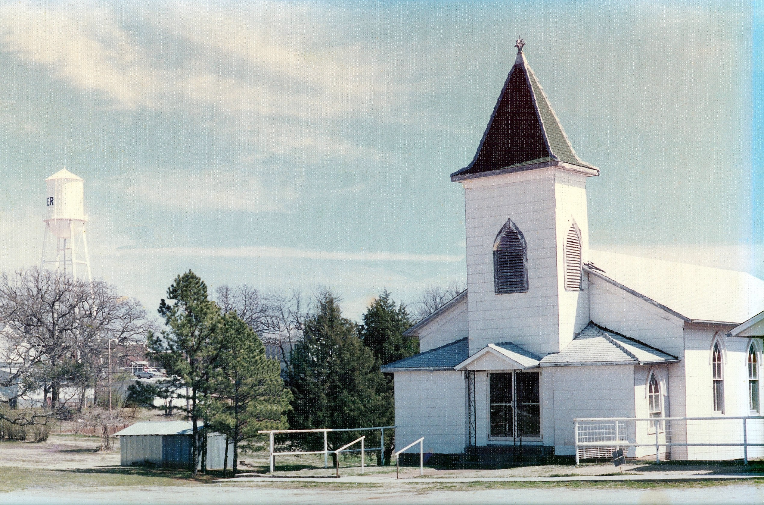
FBCold_edit
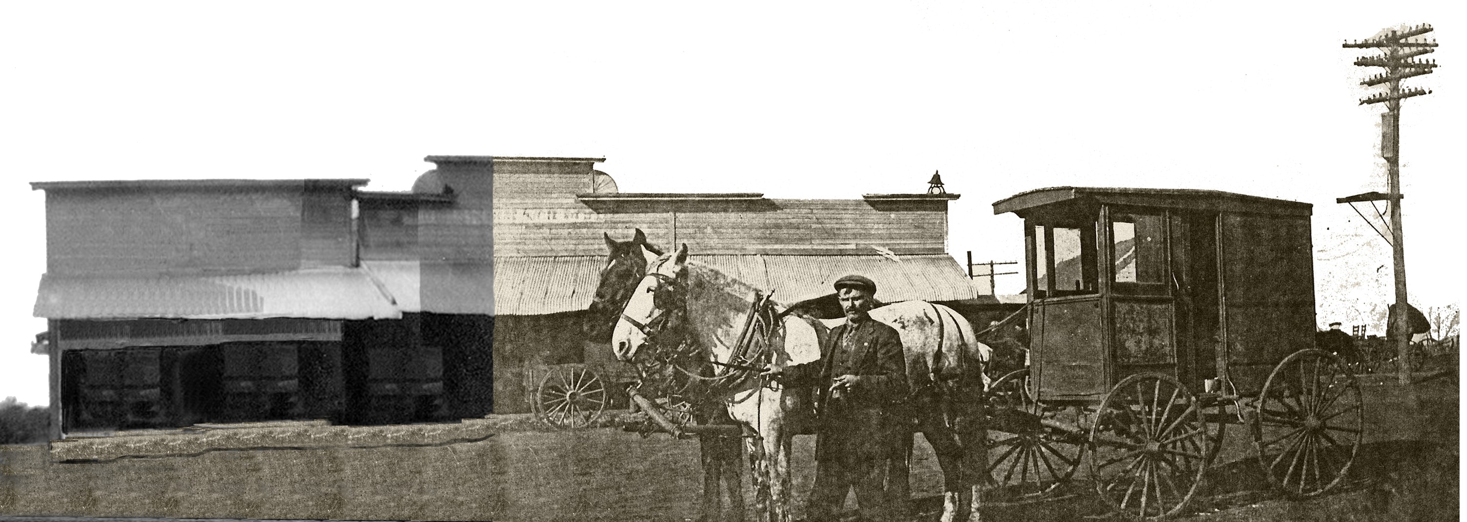
MainST_MashUp_SM

#sunset #mextures #mexturescollective
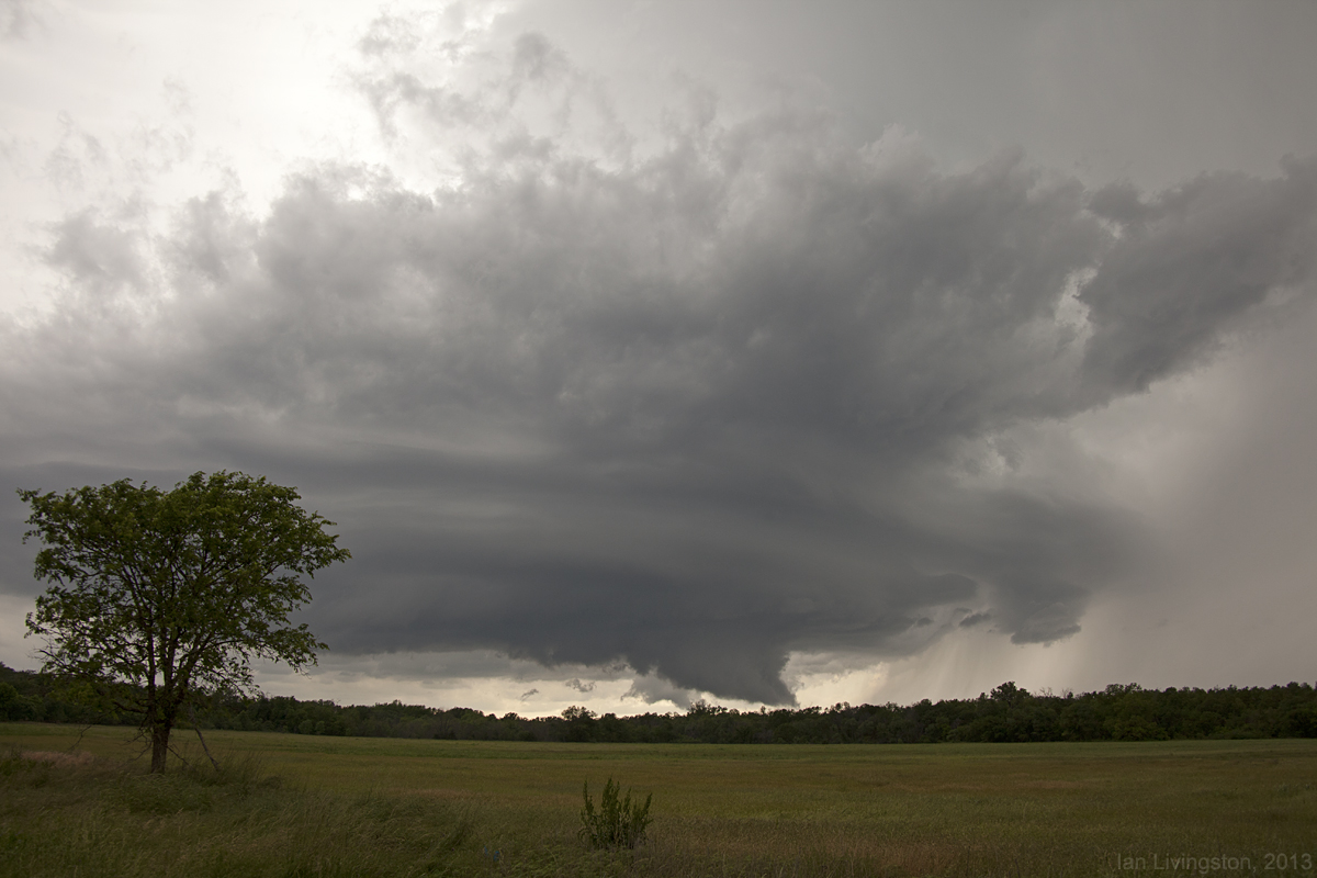
Stepping down the supercell line

#mextures #river #mexturescollective #naturelovers #fallcolors

#sunset #mextures #mexturescollective

Nice sunset on the South Canadian River. Fun Saturday meeting friends, riding, drinking some Mike's and shooting the Sig and Mossberg with my ❤️ #mextures #mexturescollective #sunset #river #southcanadianriver

A Happy Barn

South Canadian River #sunset #mextures #mexturescollective #river #naturelovers
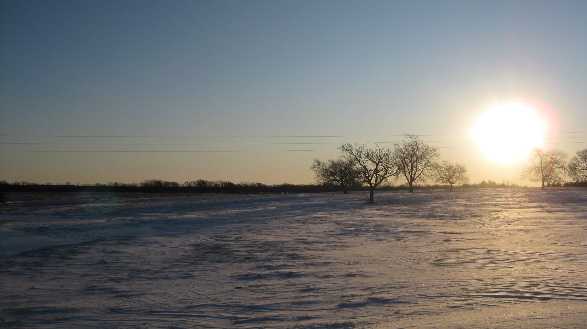
WinterWonderland2009_25Dec2009_ 002
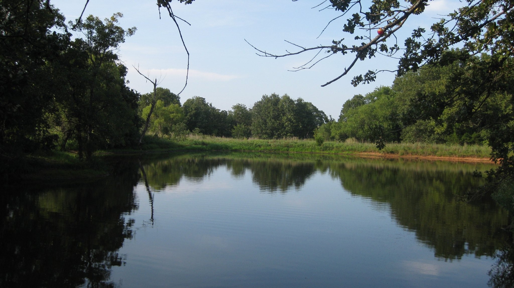
Randomness_23Aug2008_ 023
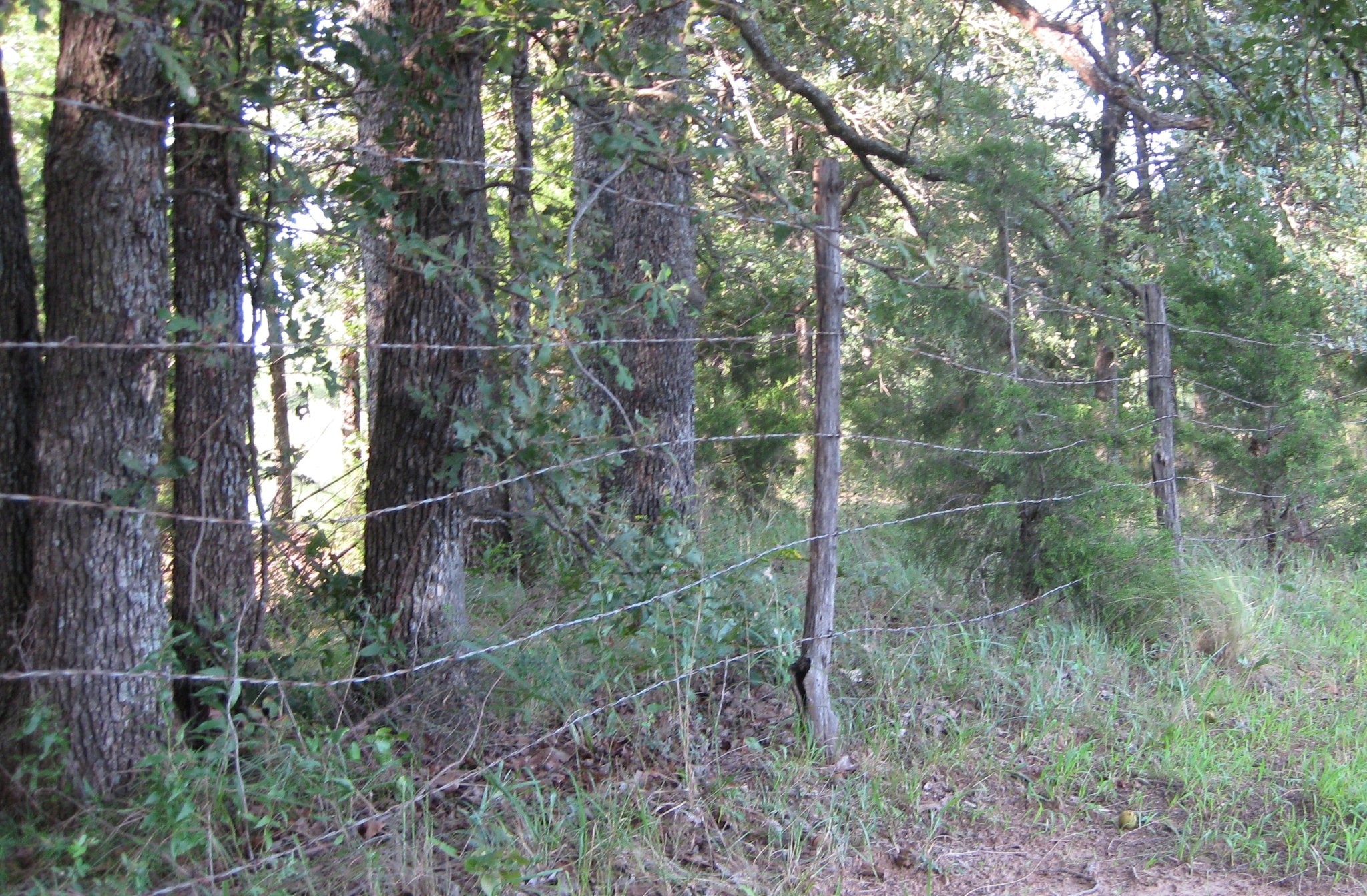
Randomness_23Aug2008_ 022
Topographic Map of Wanette, OK, USA
Find elevation by address:

Places in Wanette, OK, USA:
Places near Wanette, OK, USA:
Oklahoma
OK-39, Wanette, OK, USA
th St, Lexington, OK, USA
Wayne
Lexington
Purcell
W Adams St, Purcell, OK, USA
6250 Slaughterville Rd
Wynnewood
10500 48th St
th St, Wayne, OK, USA
Garvin County
Mcclain County
Davis
Goldsby
Five Lakes Property Owners
3165 Jollyville Rd
Murray County
Honey Creek Drive
Falls Creek Baptist Conference Center
Recent Searches:
- Elevation of Corso Fratelli Cairoli, 35, Macerata MC, Italy
- Elevation of Tallevast Rd, Sarasota, FL, USA
- Elevation of 4th St E, Sonoma, CA, USA
- Elevation of Black Hollow Rd, Pennsdale, PA, USA
- Elevation of Oakland Ave, Williamsport, PA, USA
- Elevation of Pedrógão Grande, Portugal
- Elevation of Klee Dr, Martinsburg, WV, USA
- Elevation of Via Roma, Pieranica CR, Italy
- Elevation of Tavkvetili Mountain, Georgia
- Elevation of Hartfords Bluff Cir, Mt Pleasant, SC, USA