Elevation of th St, Iowa Falls, IA, USA
Location: United States > Iowa > Hardin County > Ellis >
Longitude: -93.325778
Latitude: 42.469902
Elevation: 359m / 1178feet
Barometric Pressure: 97KPa
Elevation Map:
Satellite Map:
Related Photos:
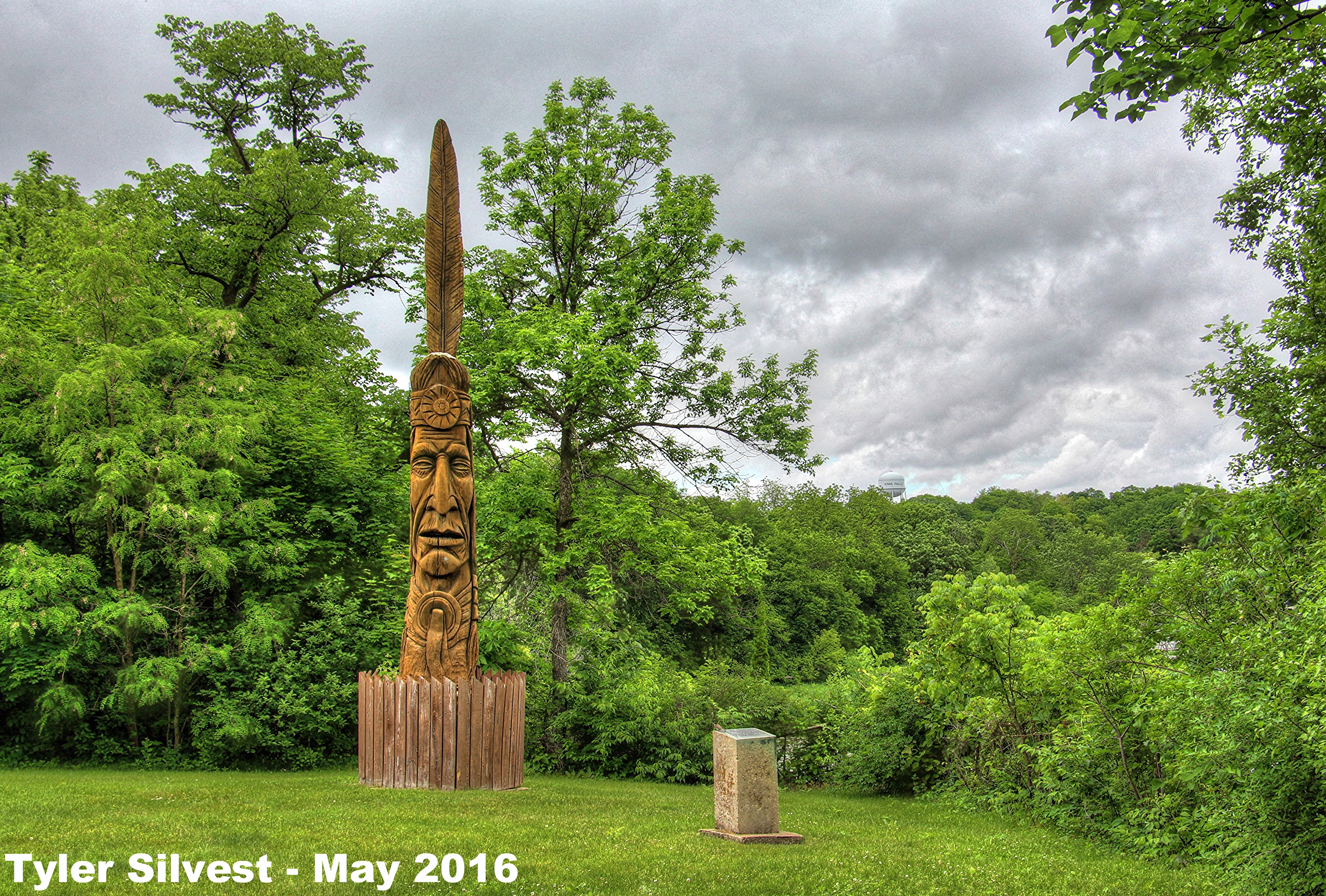
Indian Monument
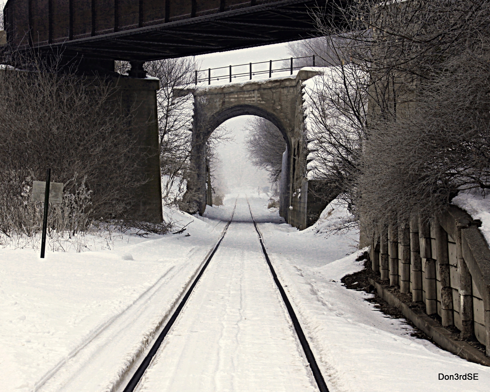
Tracks in the Snow
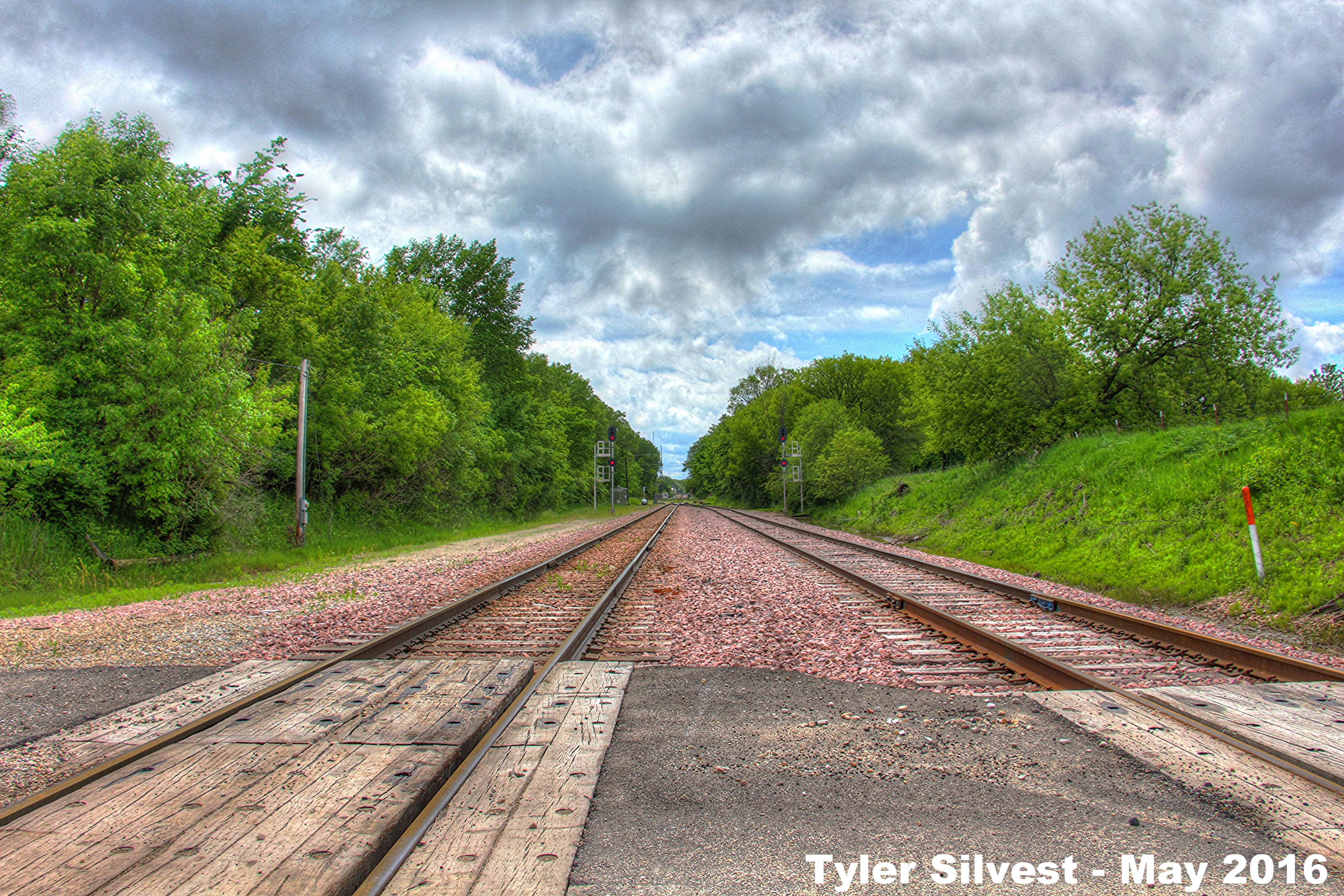
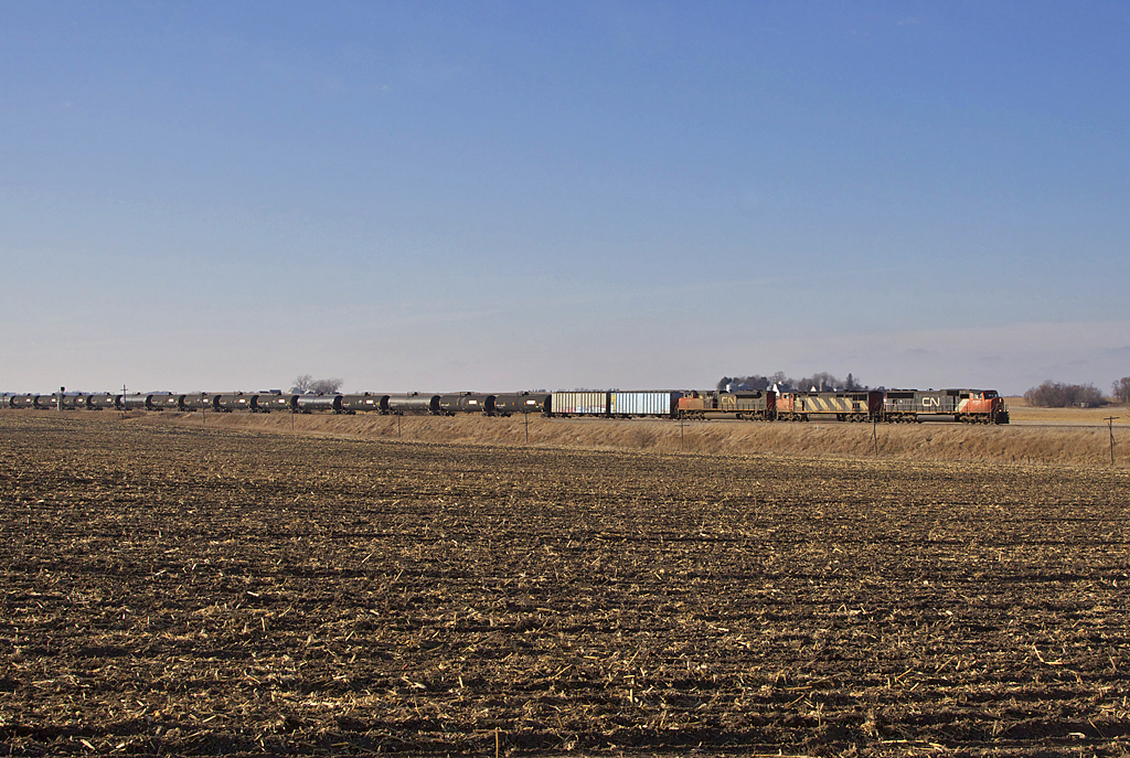
1/2 Looking West on the CN Rail Line
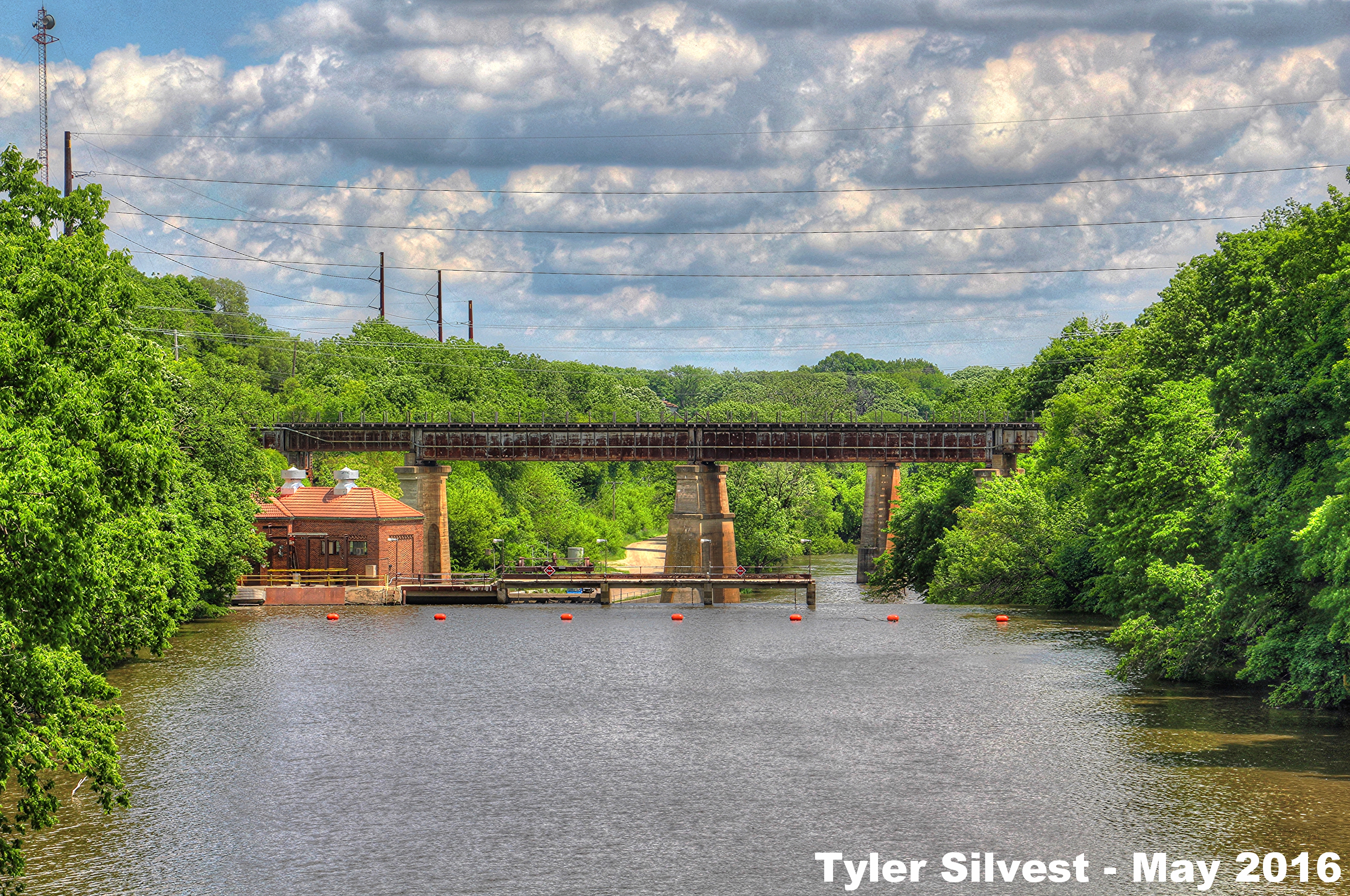
Iowa River Dam

Iowa Falls Post Office

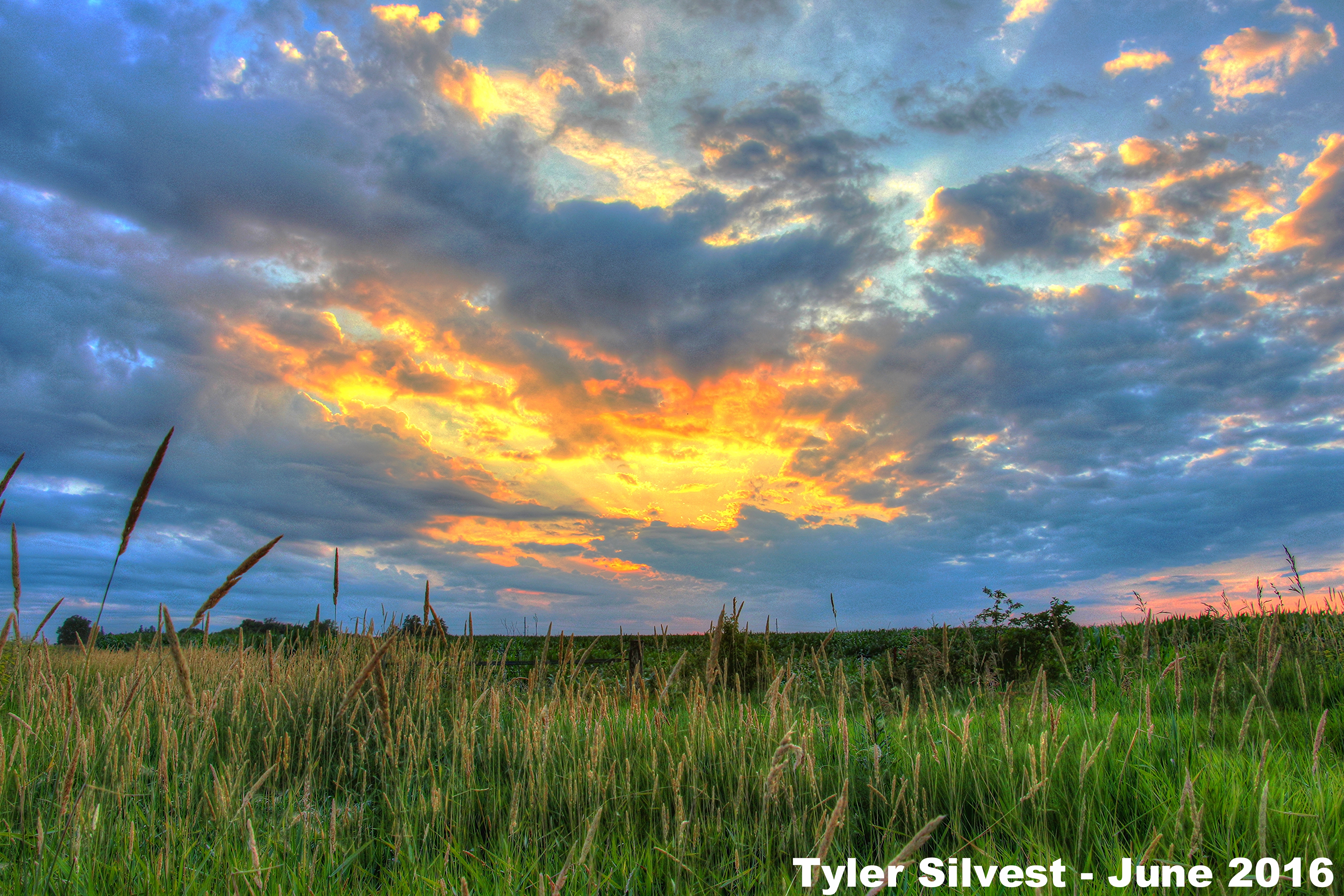
Summer Sunset over Western Hardin County, IA 6-30-16
Summer Sunset over Northwestern Hardin County, IA 6-29-16
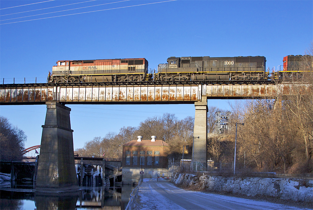
bcrail s 4614IF
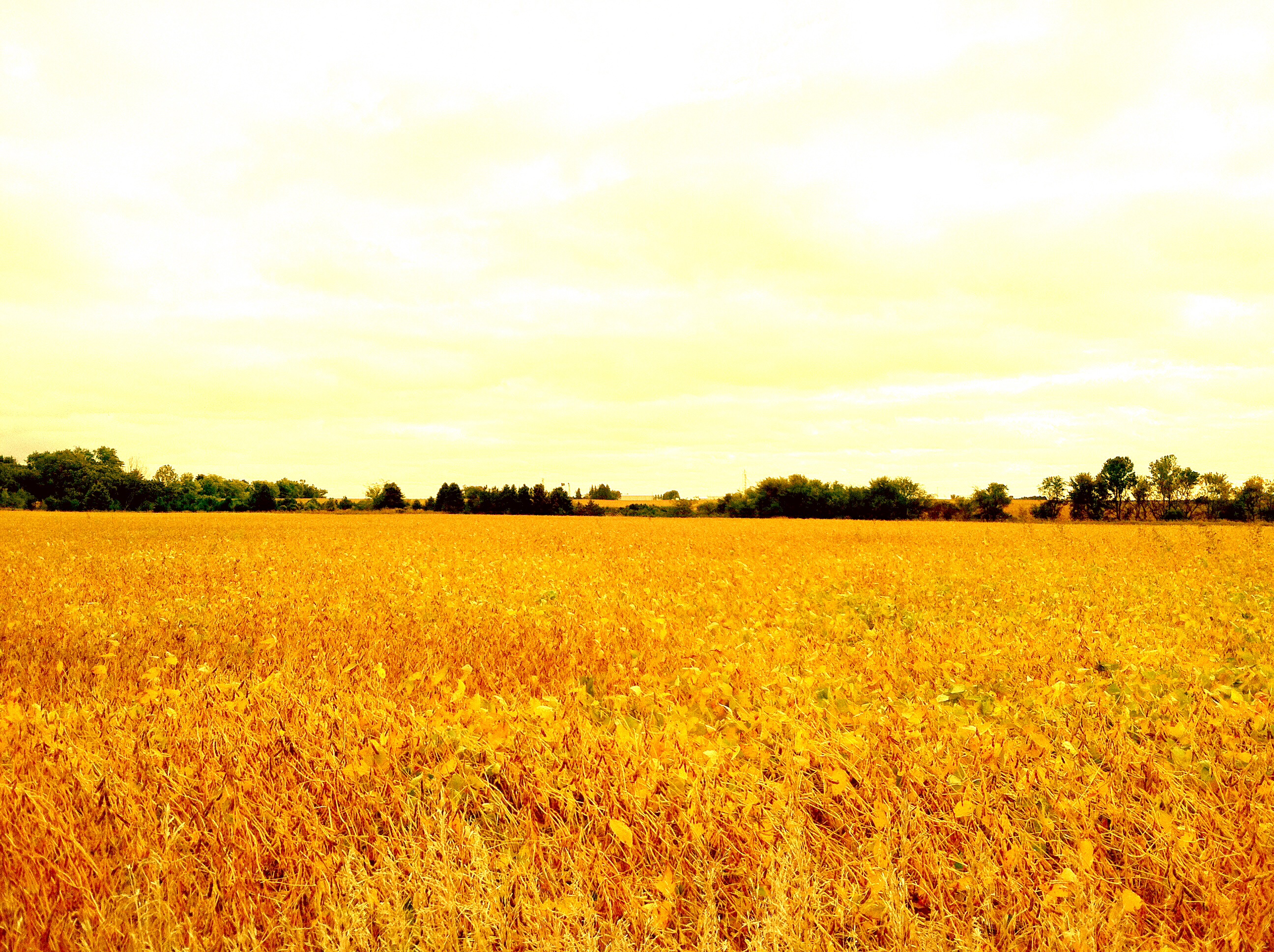
Sub-Saharan Cornfield
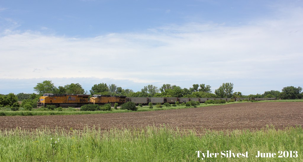
UP 7945 & UP 7097

cn s 2410IF

Hoar Frost and old barn, Rt 20, Iowa
Iowa Falls
Iowa Falls
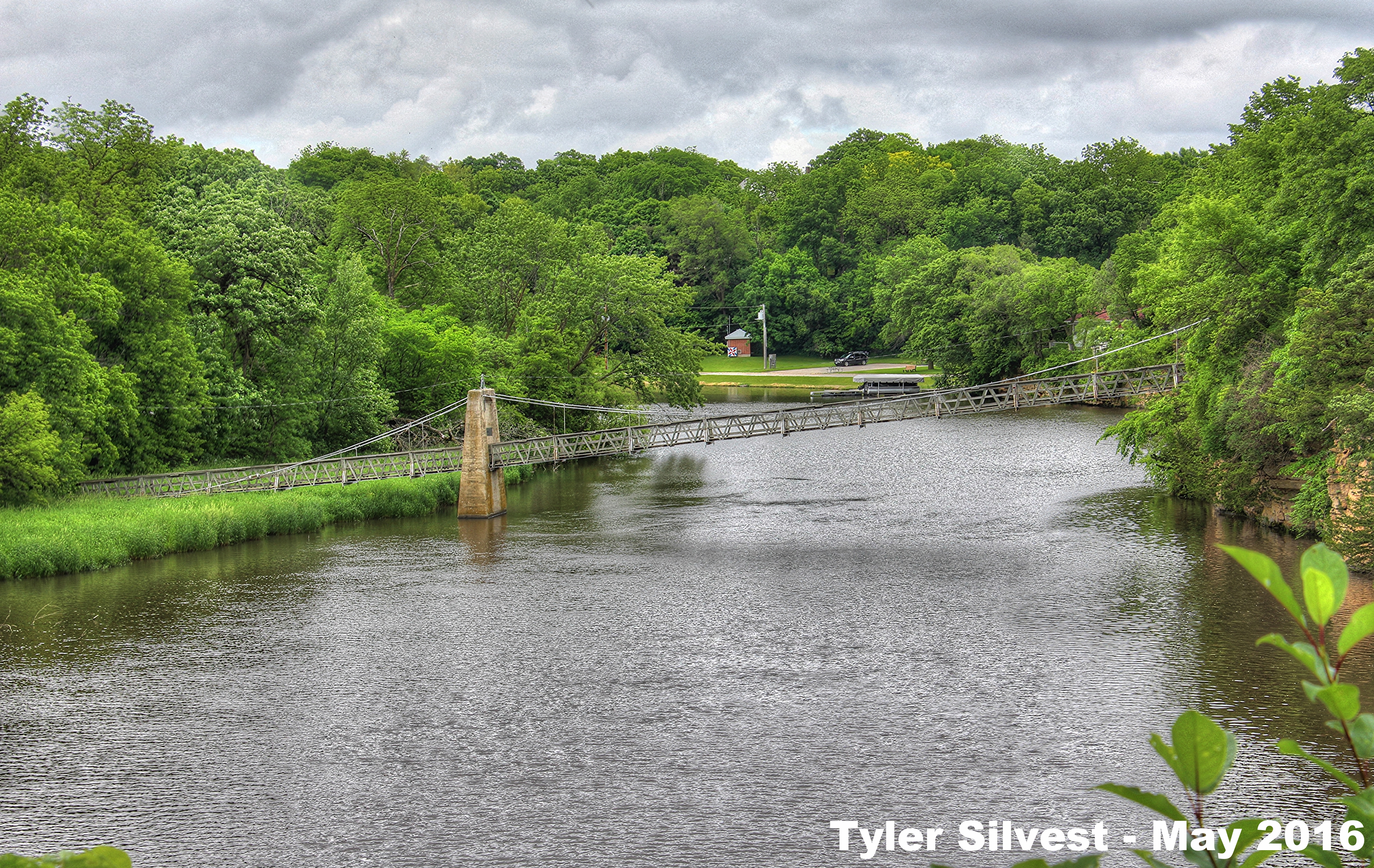
The Swinging Bridge
cn s 5725ethanal
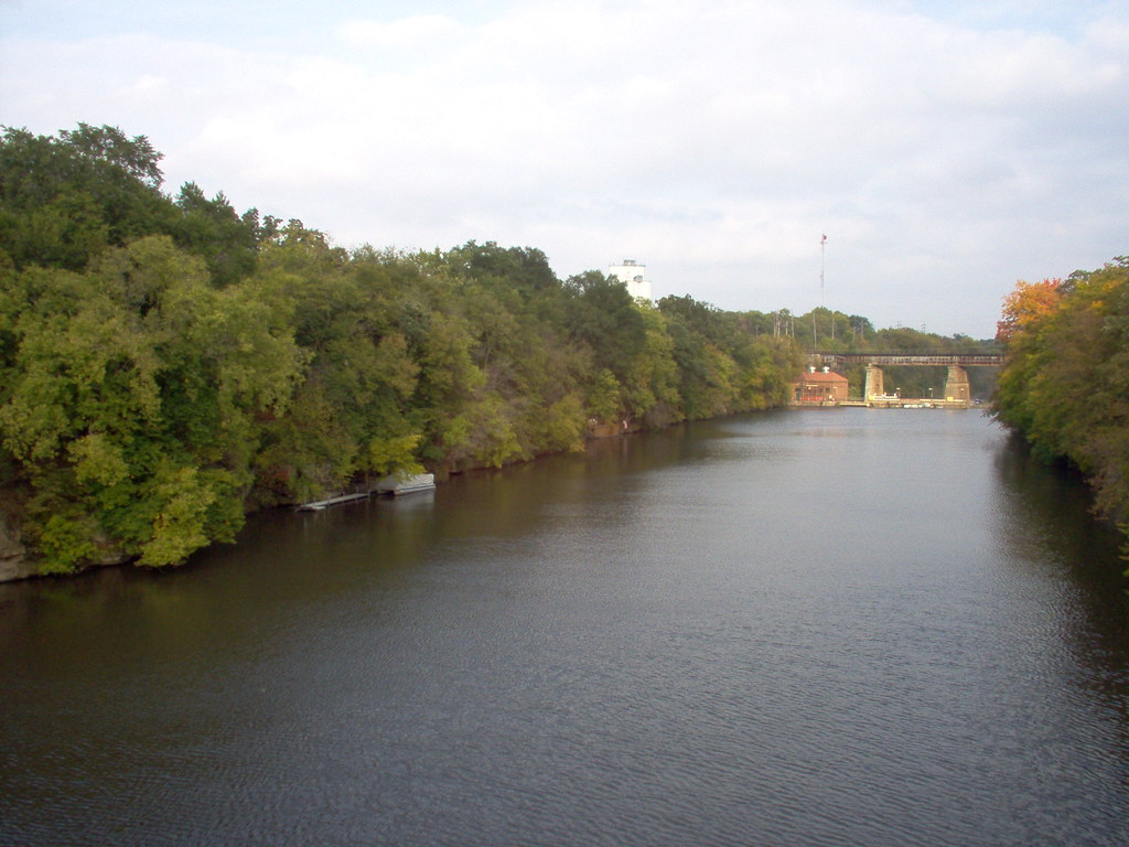
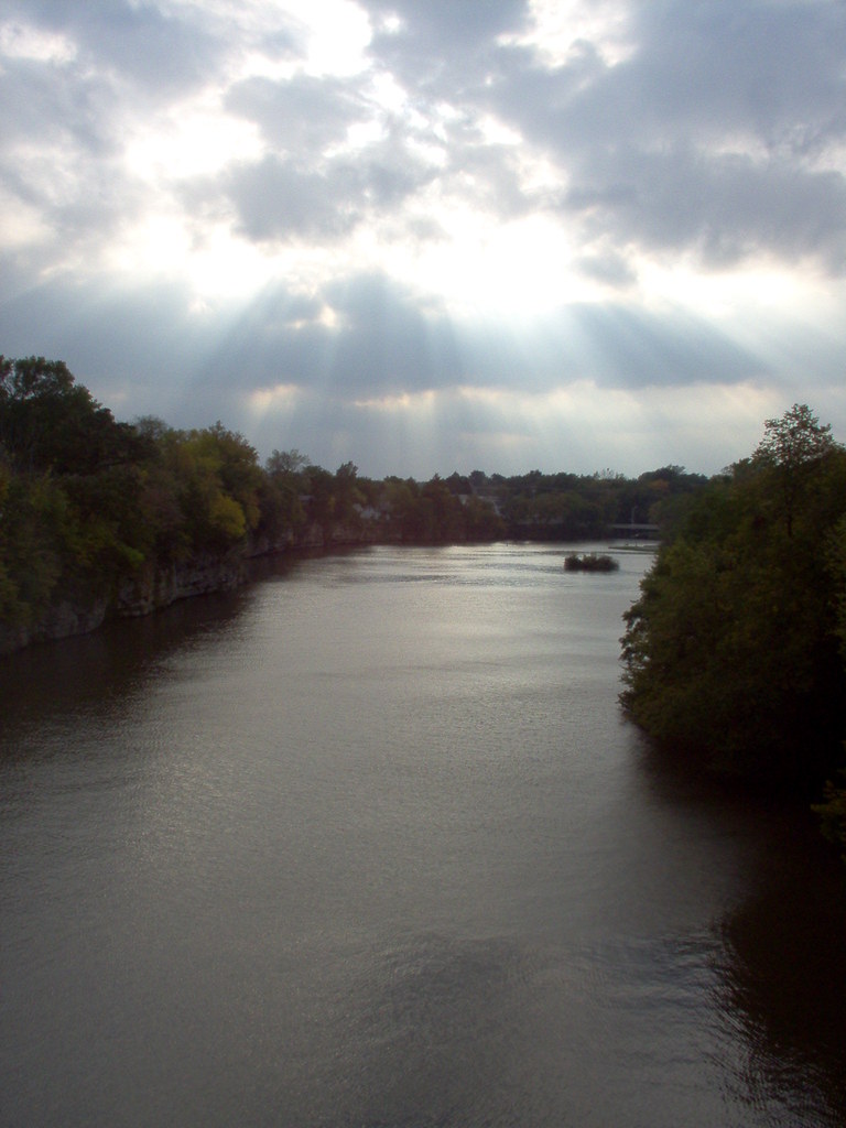
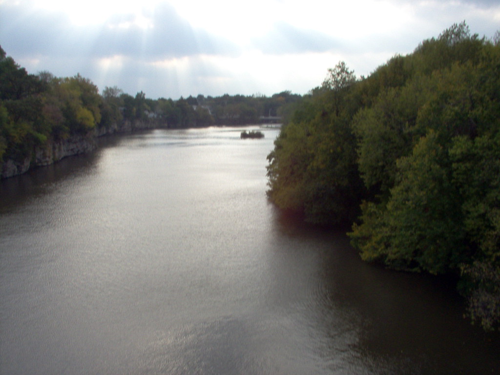
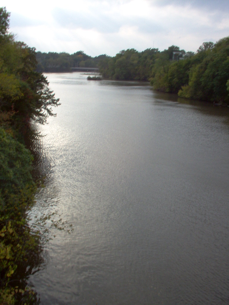
Iowa River
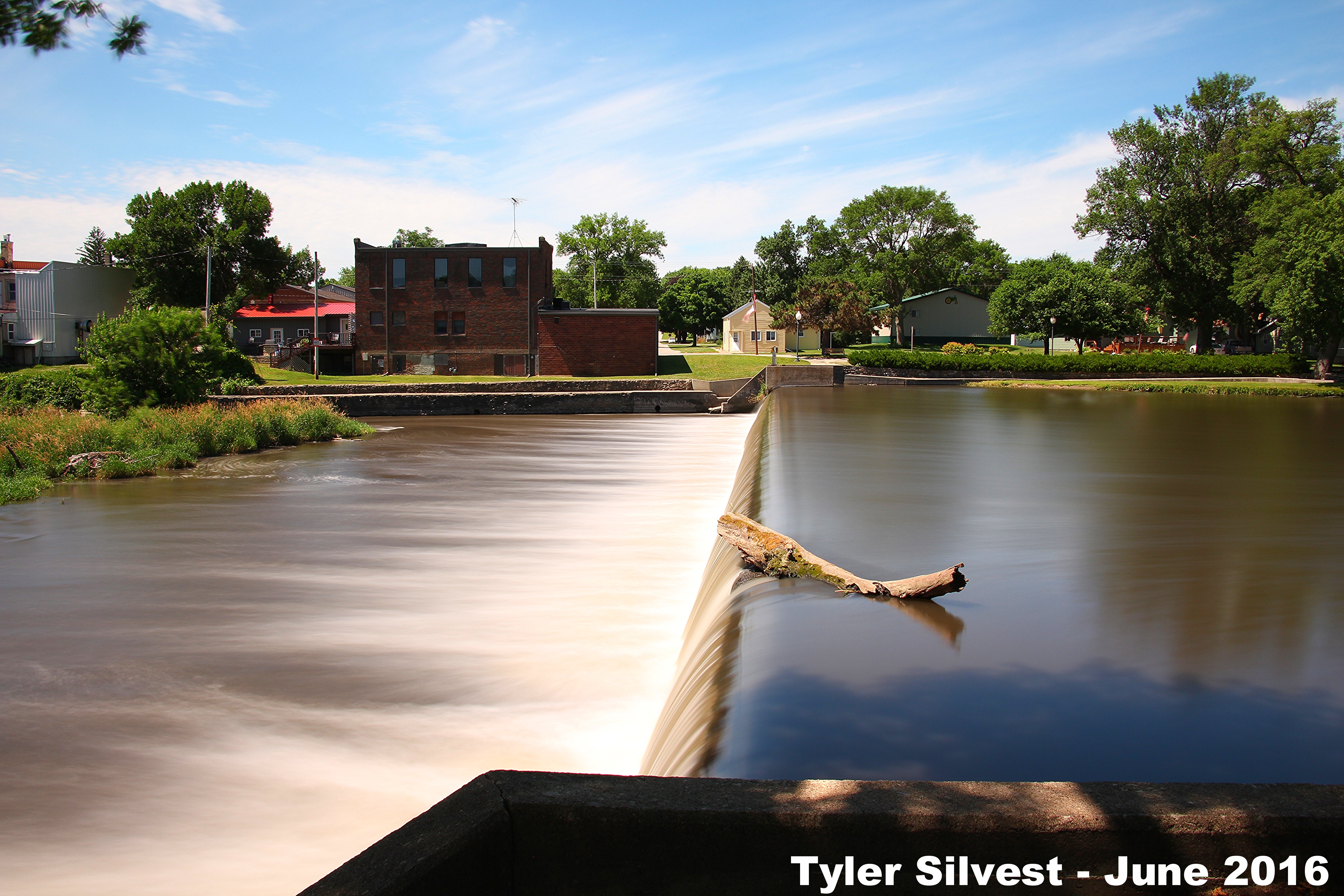
4/4 Iowa River Dam in Iowa Falls, IA Long Exposure
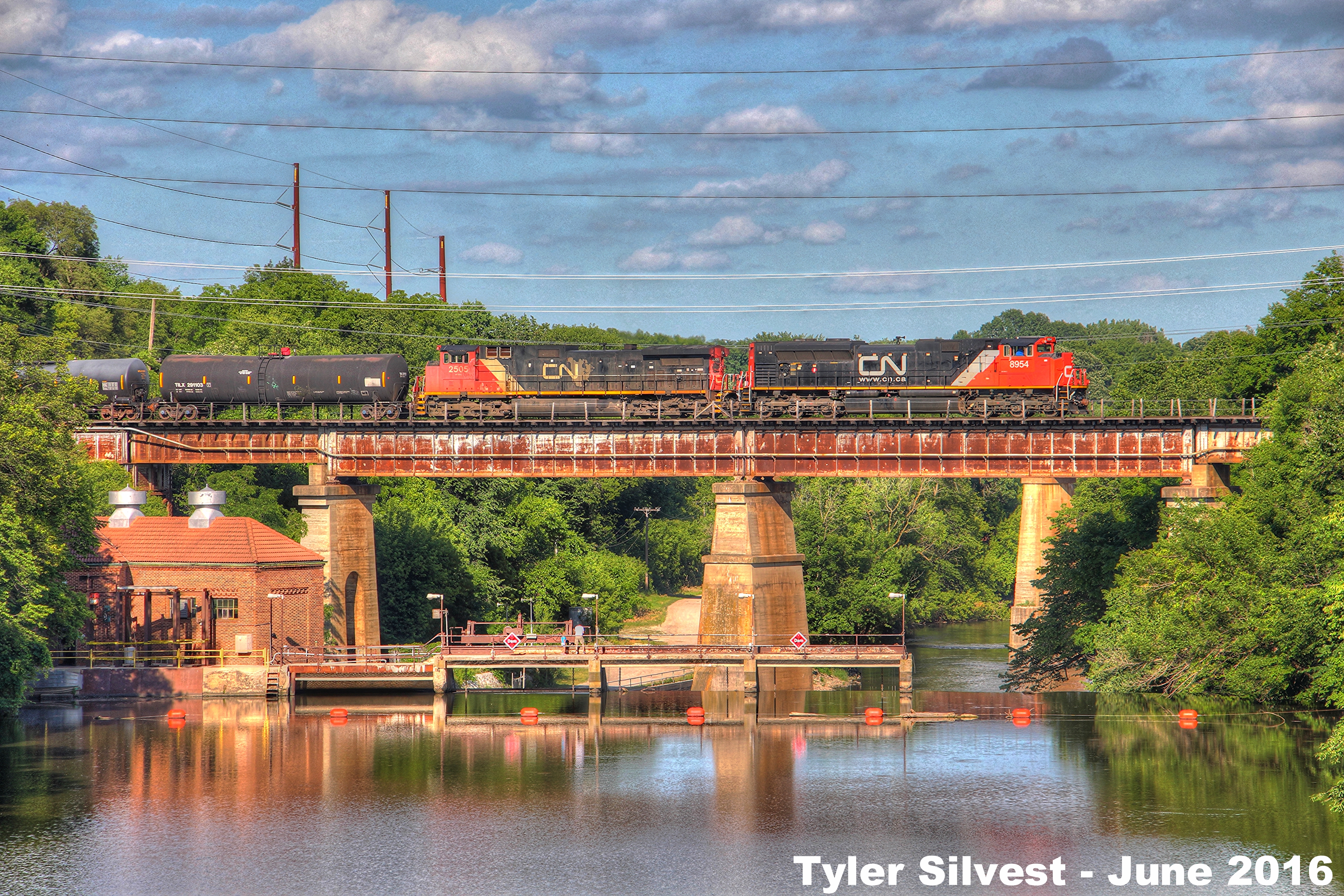
CN 8954 Leads WB Manifest over the Iowa River 6-28-16
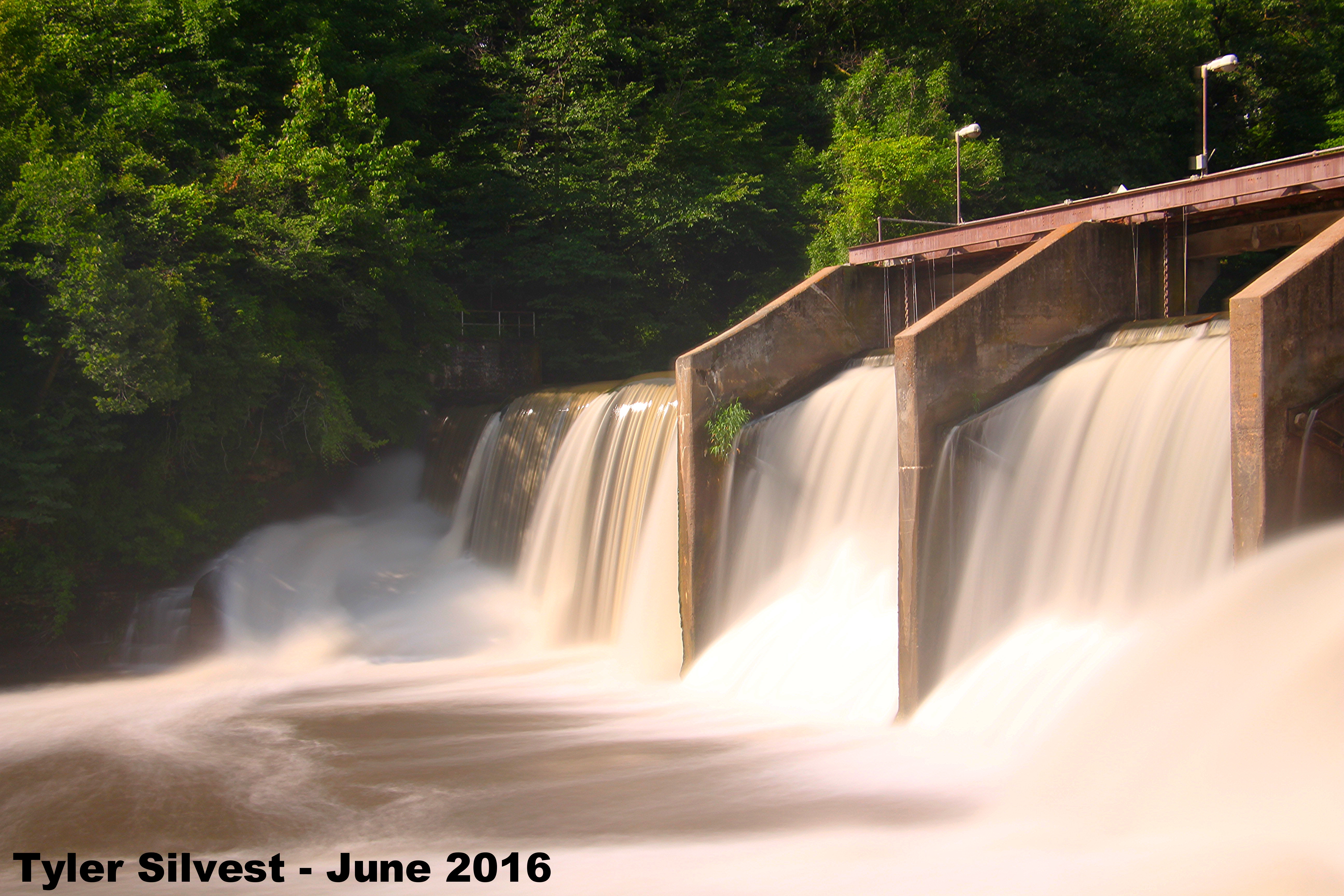
3/3 Iowa River Dam in Alden, IA Long Exposure
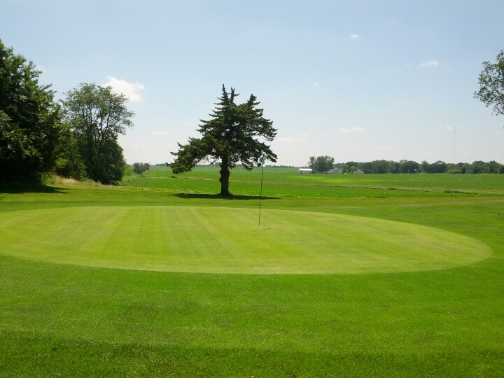
As courses go, this is home away from home.
Iowa Falls
Topographic Map of th St, Iowa Falls, IA, USA
Find elevation by address:

Places near th St, Iowa Falls, IA, USA:
Ellis
Water St, Alden, IA, USA
Alden
Iowa Falls
Buckeye, IA, USA
Alden
Henderson St, Iowa Falls, IA, USA
Hardin
30th St, Alden, IA, USA
Tipton
Hardin County
Oo Ave, Eldora, IA, USA
W Maple St, Hubbard, IA, USA
Hubbard
th St, Iowa Falls, IA, USA
Jackson
th St, Iowa Falls, IA, USA
Webber St, Iowa Falls, IA, USA
Co Rd D41, Iowa Falls, IA, USA
Co Hwy S55, Iowa Falls, IA, USA
Recent Searches:
- Elevation of Corso Fratelli Cairoli, 35, Macerata MC, Italy
- Elevation of Tallevast Rd, Sarasota, FL, USA
- Elevation of 4th St E, Sonoma, CA, USA
- Elevation of Black Hollow Rd, Pennsdale, PA, USA
- Elevation of Oakland Ave, Williamsport, PA, USA
- Elevation of Pedrógão Grande, Portugal
- Elevation of Klee Dr, Martinsburg, WV, USA
- Elevation of Via Roma, Pieranica CR, Italy
- Elevation of Tavkvetili Mountain, Georgia
- Elevation of Hartfords Bluff Cir, Mt Pleasant, SC, USA