Elevation of Hubbard, IA, USA
Location: United States > Iowa > Hardin County > Tipton >
Longitude: -93.300205
Latitude: 42.3055396
Elevation: 332m / 1089feet
Barometric Pressure: 97KPa
Elevation Map:
Satellite Map:
Related Photos:
IMG_2130

20161023_103828
IMG_2356
IMG_2334
IMG_2335
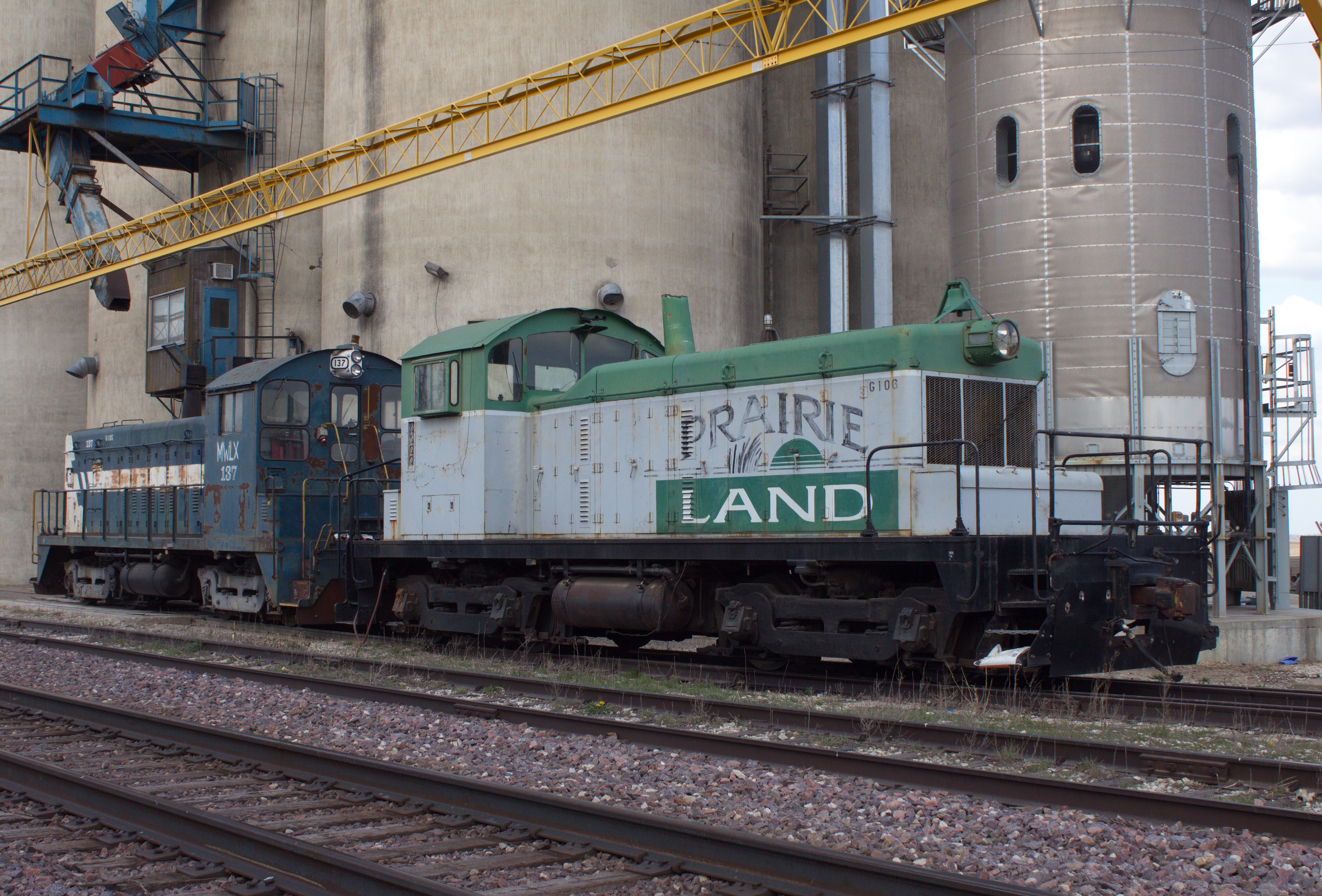
Prairie Land Co-Op

Garden City

UP 2189 Buckeye

UP 2189 Gardan City
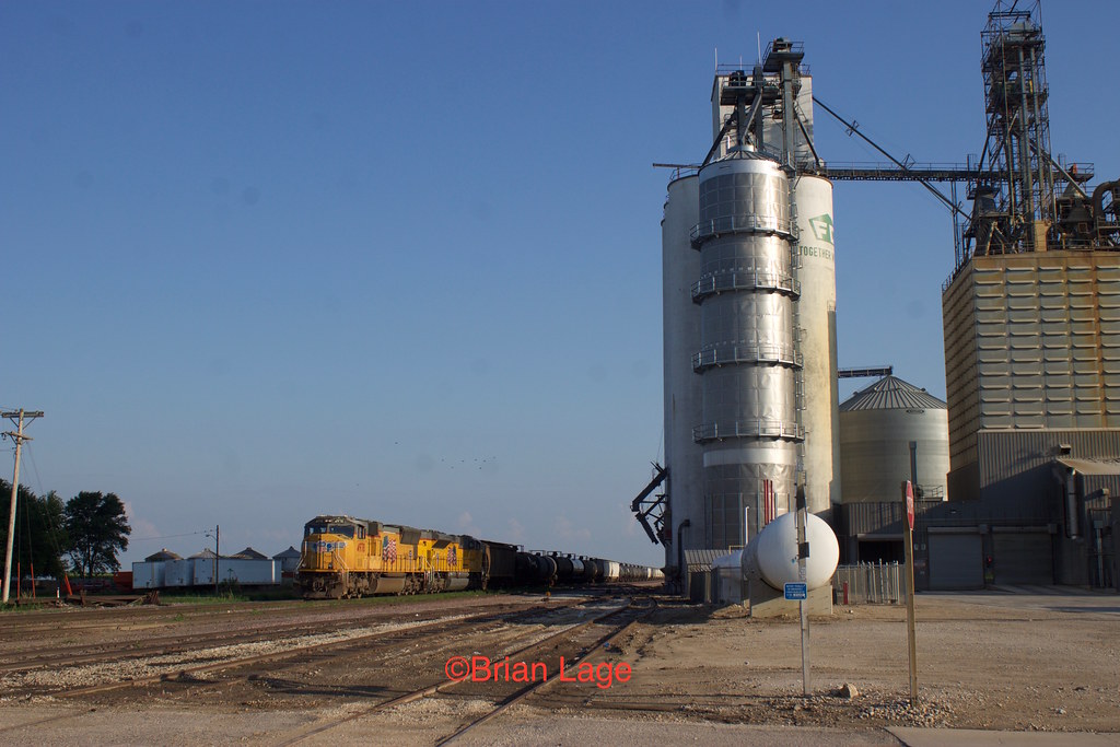
UP 4978
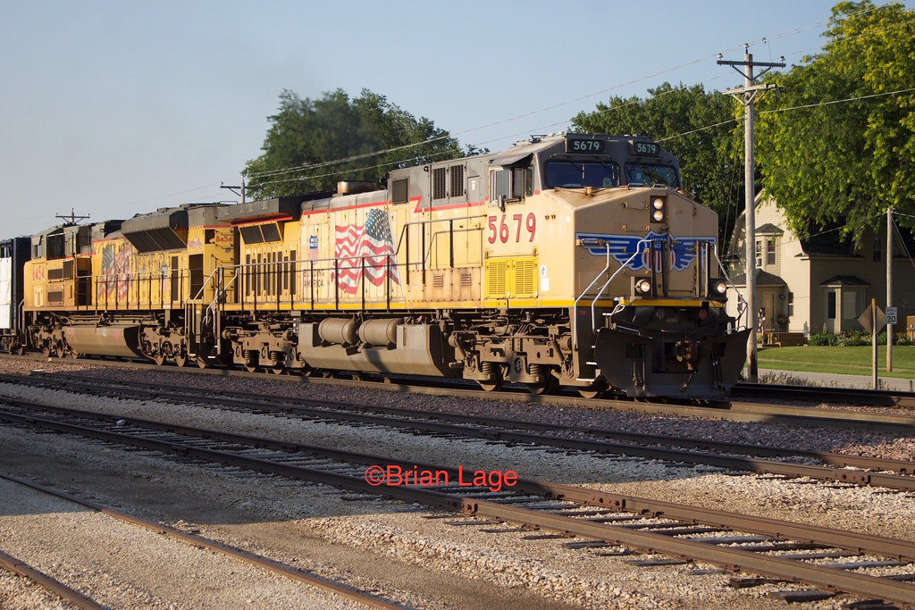
UP 5679

Corn Inspection

John Karras
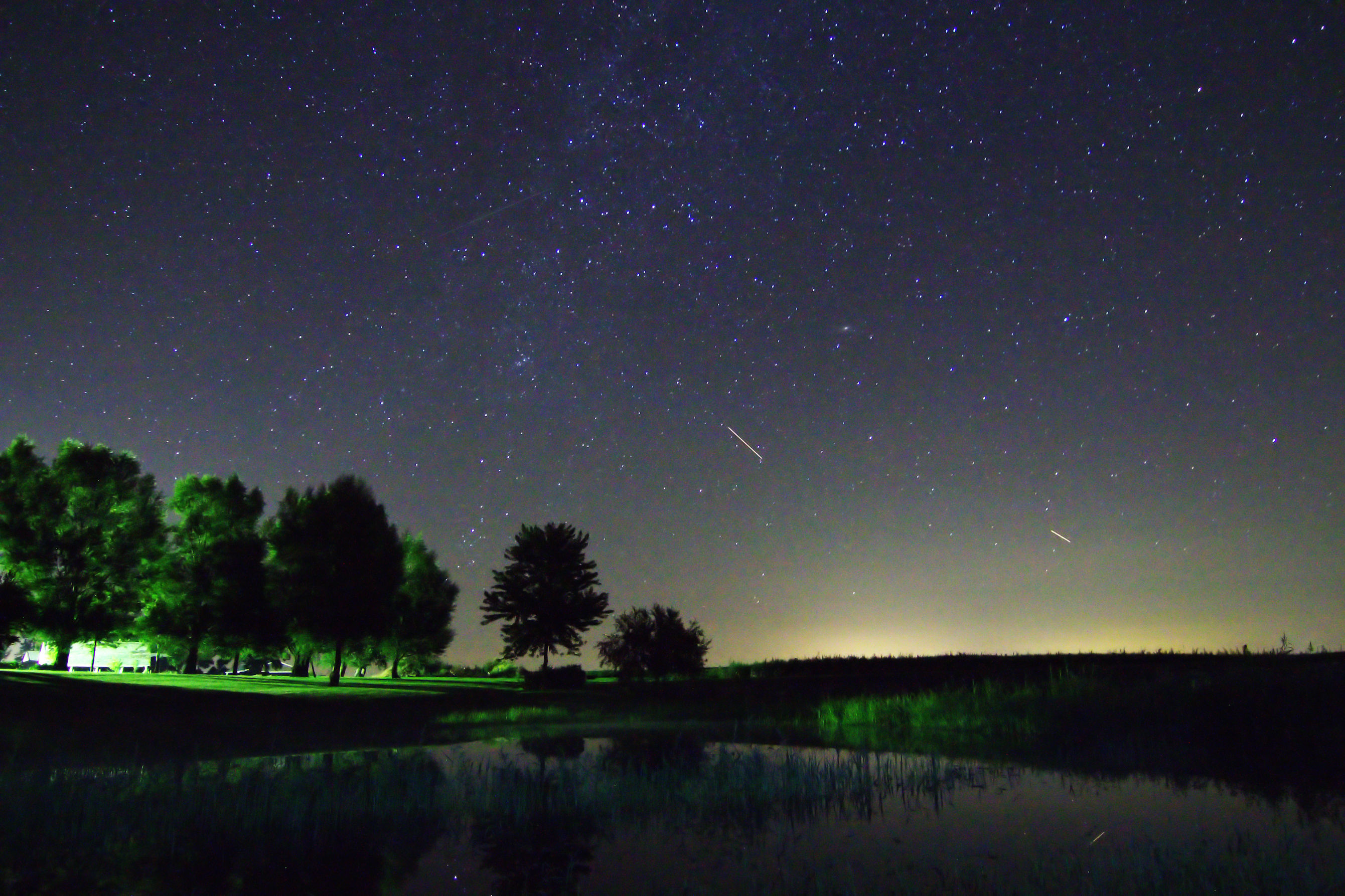
Starry Night Sky

RAGBRAI 2015

RAGBRAI 2015

RAGBRAI 2015

RAGBRAI 2015

RAGBRAI 2015

RAGBRAI 2015

RAGBRAI 2015

RAGBRAI 2015

RAGBRAI 2015

RAGBRAI 2015

RAGBRAI 2015

RAGBRAI 2015
Topographic Map of Hubbard, IA, USA
Find elevation by address:

Places in Hubbard, IA, USA:
Places near Hubbard, IA, USA:
W Maple St, Hubbard, IA, USA
Tipton
Oo Ave, Eldora, IA, USA
Co Hwy S27, Radcliffe, IA, USA
Concord
Ellis
Pleasant
th St, Iowa Falls, IA, USA
Co Rd D41, Iowa Falls, IA, USA
Hardin County
th St, Iowa Falls, IA, USA
Jackson
Eldora
21879 T Ave
Edgington Ave, Eldora, IA, USA
Co Rd D55, Union, IA, USA
Gifford
Iowa Falls
Henderson St, Iowa Falls, IA, USA
th St, Iowa Falls, IA, USA
Recent Searches:
- Elevation of Corso Fratelli Cairoli, 35, Macerata MC, Italy
- Elevation of Tallevast Rd, Sarasota, FL, USA
- Elevation of 4th St E, Sonoma, CA, USA
- Elevation of Black Hollow Rd, Pennsdale, PA, USA
- Elevation of Oakland Ave, Williamsport, PA, USA
- Elevation of Pedrógão Grande, Portugal
- Elevation of Klee Dr, Martinsburg, WV, USA
- Elevation of Via Roma, Pieranica CR, Italy
- Elevation of Tavkvetili Mountain, Georgia
- Elevation of Hartfords Bluff Cir, Mt Pleasant, SC, USA