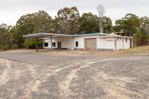
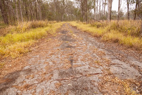
Elevation of Templar Road, Templar Rd, Glenwood QLD, Australia
Location: Australia > Queensland > Glenwood >
Longitude: 152.621800
Latitude: -25.940477
Elevation: 89m / 292feet
Barometric Pressure: 100KPa
Related Photos:
Topographic Map of Templar Road, Templar Rd, Glenwood QLD, Australia
Find elevation by address:

Places near Templar Road, Templar Rd, Glenwood QLD, Australia:
Glenwood
8 Sarah Rd
Sarah Road
766 Beckmanns Rd
Gympie Regional
821 Tin Can Bay Rd
64 Ridgeview Dr
Canina
181 Hay Rd
Hay Road
Lower Wonga
Gympie
180 Mary St
23 Mary St
Jaycee Way
10 Jum Jum Ct
42 Barling Rd
42 Barling Rd
Widgee Crossing South
12 Jeremy Rd
Recent Searches:
- Elevation of Corso Fratelli Cairoli, 35, Macerata MC, Italy
- Elevation of Tallevast Rd, Sarasota, FL, USA
- Elevation of 4th St E, Sonoma, CA, USA
- Elevation of Black Hollow Rd, Pennsdale, PA, USA
- Elevation of Oakland Ave, Williamsport, PA, USA
- Elevation of Pedrógão Grande, Portugal
- Elevation of Klee Dr, Martinsburg, WV, USA
- Elevation of Via Roma, Pieranica CR, Italy
- Elevation of Tavkvetili Mountain, Georgia
- Elevation of Hartfords Bluff Cir, Mt Pleasant, SC, USA


