Elevation of Lower Wonga QLD, Australia
Location: Australia > Queensland > Gympie Regional >
Longitude: 152.454084
Latitude: -26.120032
Elevation: 72m / 236feet
Barometric Pressure: 100KPa
Elevation Map:
Satellite Map:
Related Photos:
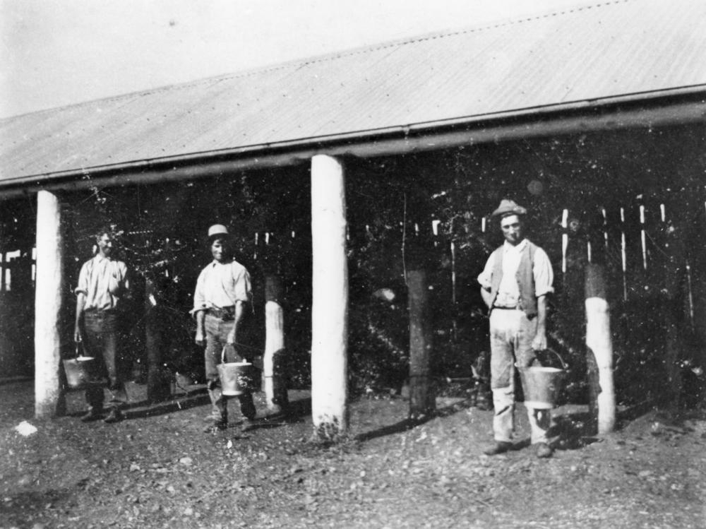
Farm workers with buckets at the milking sheds, Gunalda

"Curra" Abandoned Alignment

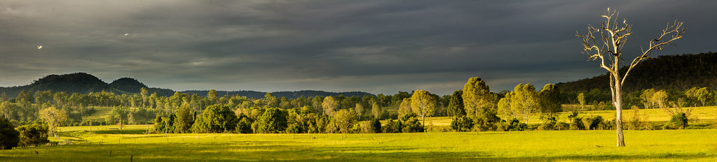
_20A3521 Farm under the great dividing range
The Solitary Giant

Butchered Sunset

"Spring Valley Rd" Former Alignment

"Spring Valley Road" Former Alignment
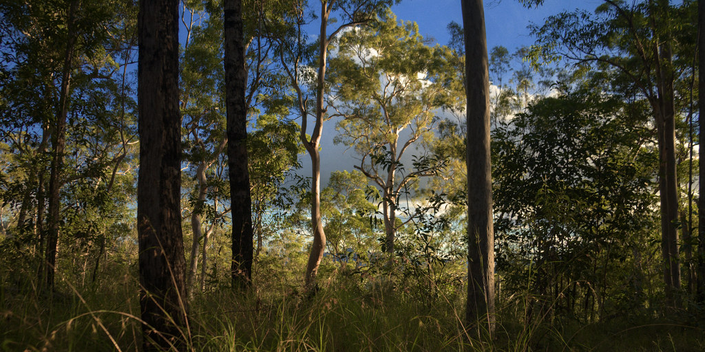
Brooyar State Forest

IAATL-20140909-2353

SGTS Conference Field Trip, Curra Limestone Quarry IMG_7210

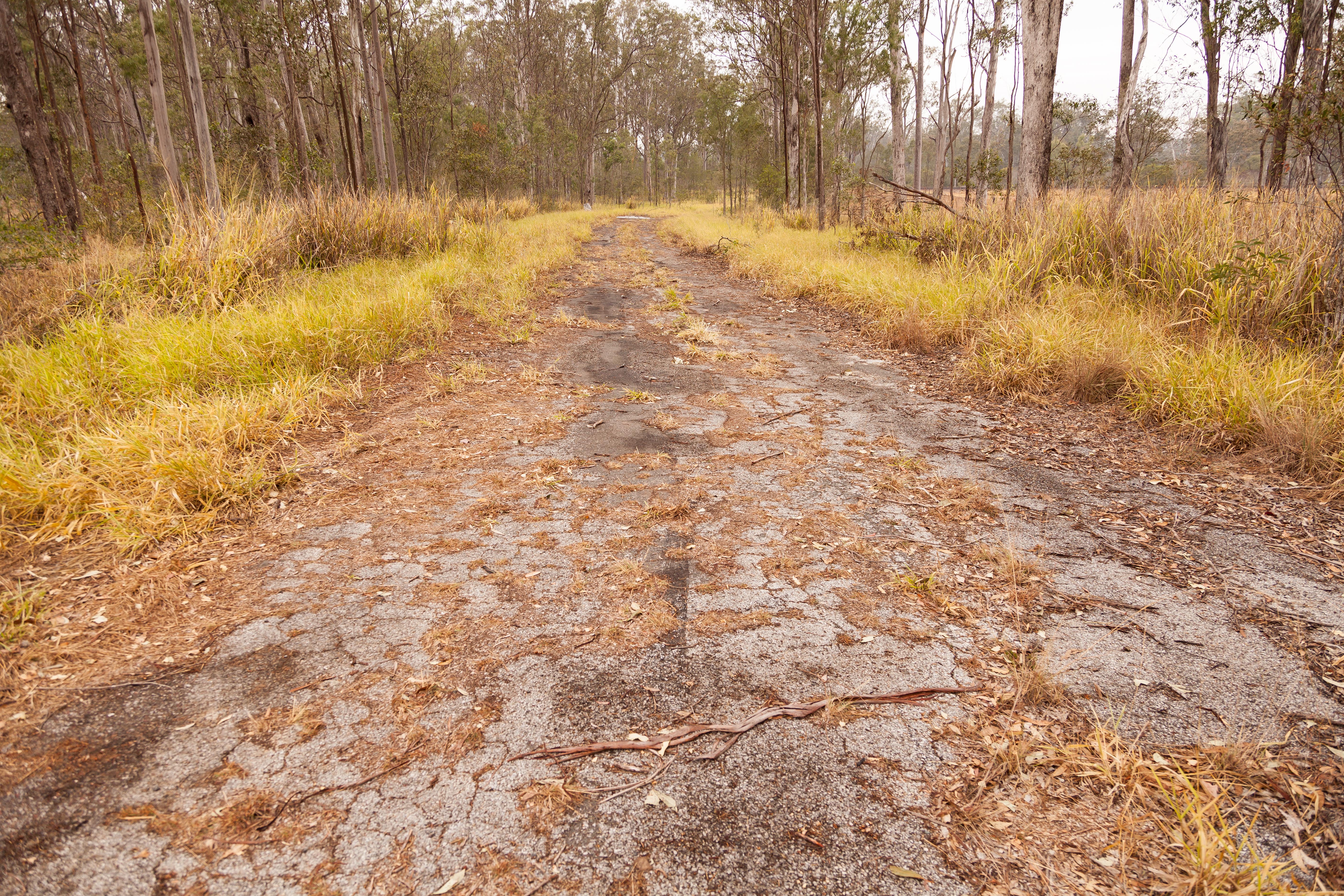
Rail Trail at Kilkivan
Curra - "Curra" Former and Abandoned Alignment
Topographic Map of Lower Wonga QLD, Australia
Find elevation by address:

Places near Lower Wonga QLD, Australia:
10 Jum Jum Ct
Gympie Regional
3 Upper Thornside Rd
Quandong Road
Widgee Crossing South
12 Jeremy Rd
64 Ridgeview Dr
Southside
Jaycee Way
180 Mary St
Gympie
18 Jasmine Ave
23 Mary St
3 Melaleuca Ct
Mooloo
One Mile Special Edu Unit
39 Presidential Ave
Mcintosh Creek
400 Burgess Rd
Jones Hill
Recent Searches:
- Elevation of Corso Fratelli Cairoli, 35, Macerata MC, Italy
- Elevation of Tallevast Rd, Sarasota, FL, USA
- Elevation of 4th St E, Sonoma, CA, USA
- Elevation of Black Hollow Rd, Pennsdale, PA, USA
- Elevation of Oakland Ave, Williamsport, PA, USA
- Elevation of Pedrógão Grande, Portugal
- Elevation of Klee Dr, Martinsburg, WV, USA
- Elevation of Via Roma, Pieranica CR, Italy
- Elevation of Tavkvetili Mountain, Georgia
- Elevation of Hartfords Bluff Cir, Mt Pleasant, SC, USA